Place · Alcalá de la Vega
El Cubillo
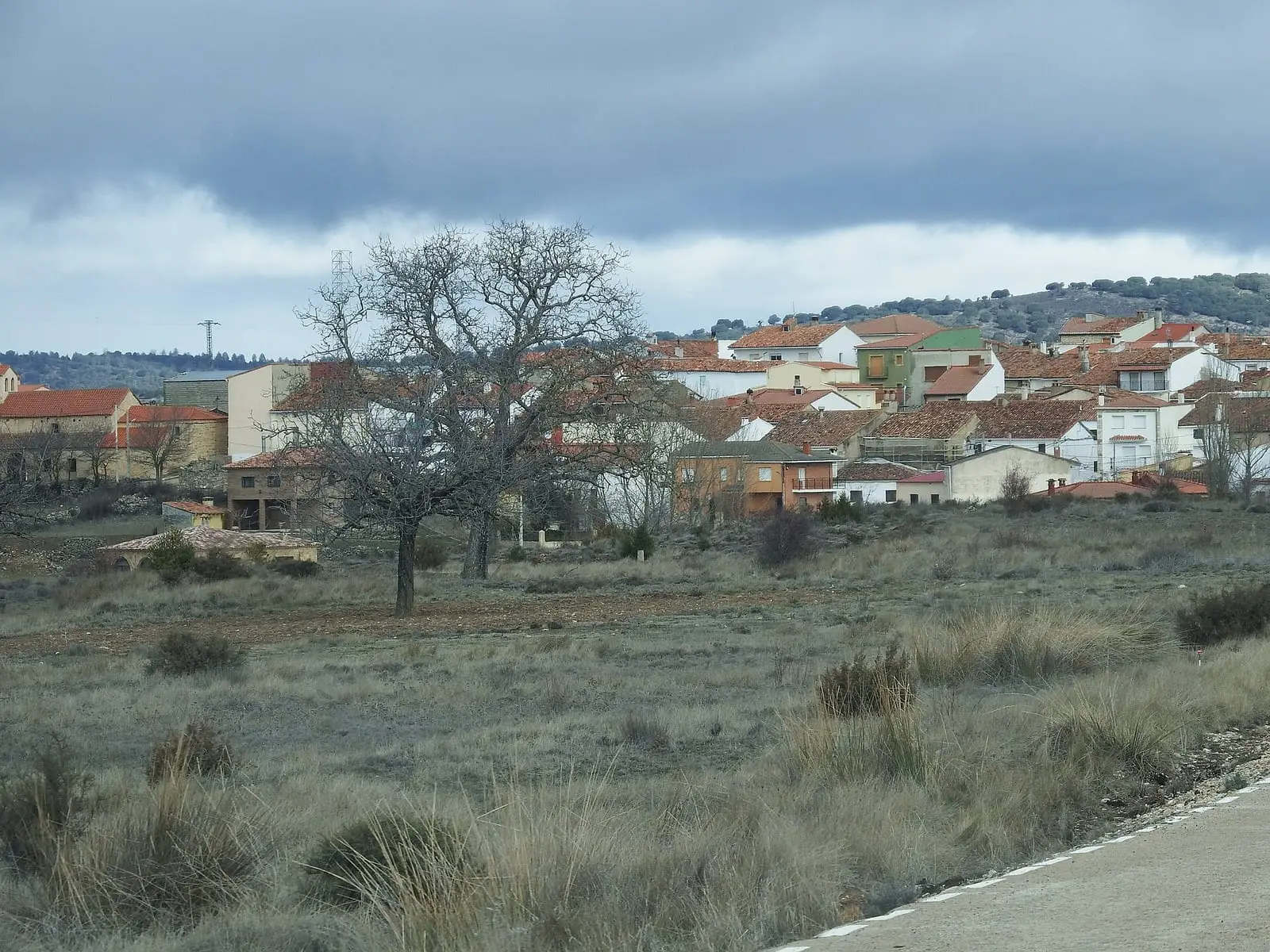
El Cubillo is a Serranía Baja (lower Serranía) hamlet, a municipality until joining Alcalá de la Vega in 1975. The 1752 Ensenada Cadastre portrays it in detail: 38 households, rain-fed wheat, barley, rye and oats, a small irrigated hemp plot, 51 beehives, a third share in a mill with Alcalá and a common ox pasture.
- Municipality
- Alcalá de la Vega
- El Cubillo
- Alcalá de la Vega
- Ensenada Cadastre
- 1752
- Marquisate of Moya
The hamlet in the Cadastre
In 1752 the Ensenada Cadastre’s experts visited El Cubillo, then a municipality of the marquisate of Moya under its jurisdiction. They counted 38 households, 38 occupied houses, seven ruined and two empty for lack of people. Rain-fed wheat, barley, rye and oats were grown and, beside a spring, a small irrigated hemp plot supplied through wooden channels when water was scarce. There were sheep, goats, cattle, oxen, mules, donkeys, mares and pigs, and 51 beehives.
The council owned a third of a flour mill shared with Alcalá, a communal oven, council premises with a prison and grain store, and a dehesa boyal, common ox pasture, for working livestock. The Cadastre also records four destitute poor living on alms from houses.
A municipality that disappeared
In 1975 a decree joined El Cubillo to Alcalá de la Vega. Its history is that of many small Serranía villages: the Serranía that emptied.
Frequently asked questions
When did it cease to be a municipality?
In 1975: Decree 1079/1975 of 24 April approved its incorporation into Alcalá de la Vega.
What was it like in 1752?
According to the Ensenada Cadastre summary, it had 38 households, 38 occupied houses, seven ruined and two empty, rain-fed farming, irrigated hemp beside a spring and 51 beehives.
Carry on from here
Lands and landscapes
From here, follow the memory of the land
These readings connect El Cubillo with the stories, the work and the villages around it.
Where it is
Where the data on this page come from
- Name
- Carlos Pla Perea: «El Cubillo en 1752: una comunidad rural de la Serranía según el Catastro de Ensenada» (2026) source consulted
- «Decreto 1079/1975, de 24 de abril, por el que se aprueba la incorporación del municipio de El Cubillo al de Alcalá de la Vega, de la provincia de Cuenca» (1975) reference located
- Ministerio de Agricultura, Alimentación y Medio Ambiente: «Real Decreto 1076/2014, de 19 de diciembre, sobre asignación de derechos de régimen de pago básico de la Política Agrícola Común» (2014) source consulted
- Municipality (INE code)
- Carlos Pla Perea: «El Cubillo en 1752: una comunidad rural de la Serranía según el Catastro de Ensenada» (2026) source consulted
- «Decreto 1079/1975, de 24 de abril, por el que se aprueba la incorporación del municipio de El Cubillo al de Alcalá de la Vega, de la provincia de Cuenca» (1975) reference located
- Ministerio de Agricultura, Alimentación y Medio Ambiente: «Real Decreto 1076/2014, de 19 de diciembre, sobre asignación de derechos de régimen de pago básico de la Política Agrícola Común» (2014) source consulted
«Source consulted»: the primary source has been read. «Reference located»: the source has been identified but not yet read. «Open question»: the figure needs confirmation.