Route · Boniches
PR-CU 66: El Rodenal de Boniches
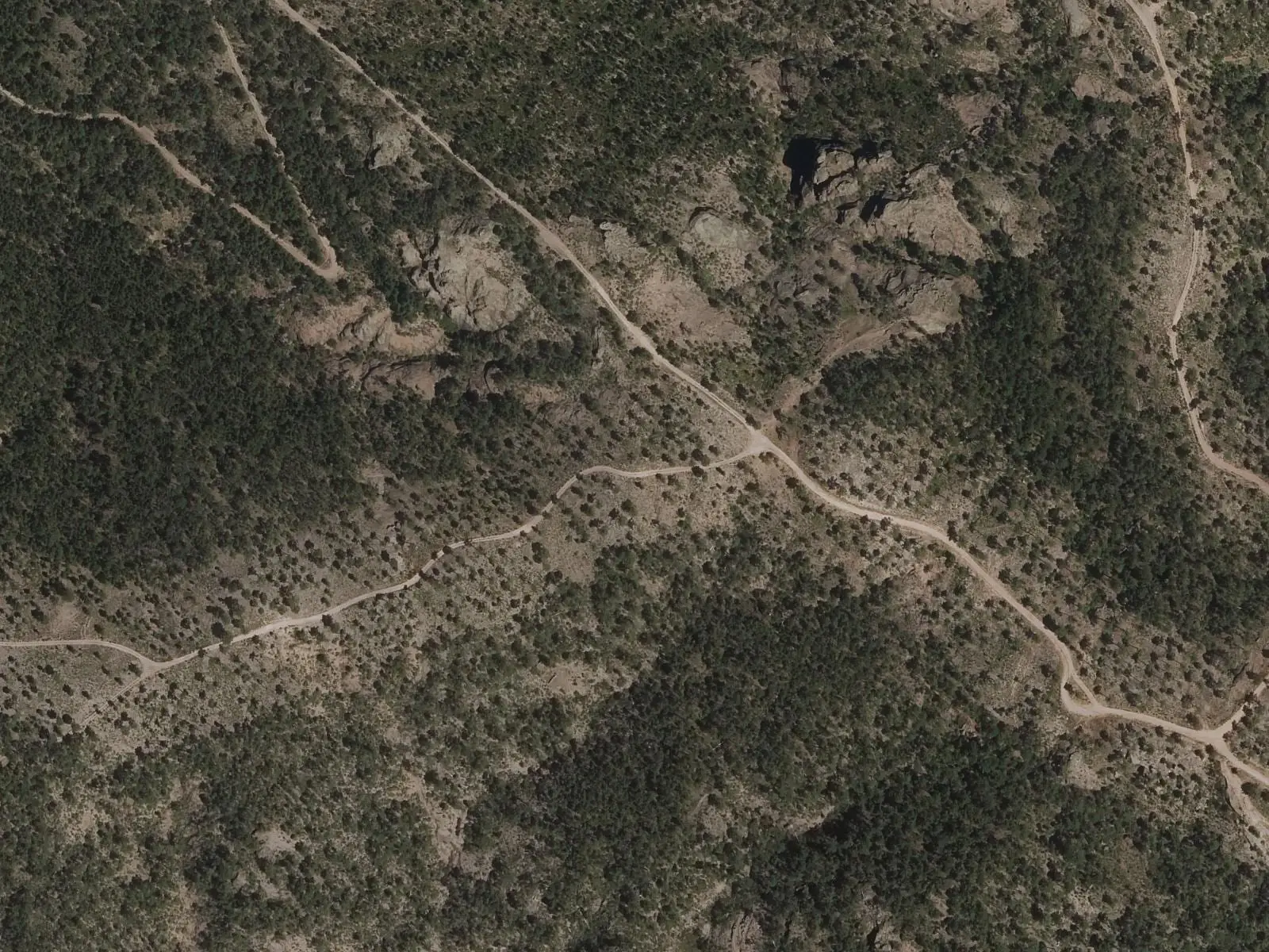
PR-CU 66, El Rodenal de Boniches, is a circular short-distance trail of 15.5 km with 357 m of elevation gain and moderate difficulty. The first 3 km follow the Cabriel valley fields; it then climbs through pine forests, skirts Las Cabezas, passes quartzitic conglomerates and returns along the Las Colochas ravine, a little-used path.
- Code
- PR-CU 66
- Distance
- 15.5 km
- Elevation gain
- 357 m
- Layout
- Circular
- Difficulty
- Moderate
Walking time without travel or stops. Difficulty as graded by the official source. «Easy» does not mean accessible.
- PR-CU 66
- Boniches
- Rodeno
Where to start
In Boniches.
The route
The first 3 km run easily through the shaded valley fields of the Cabriel. It then leaves the river and climbs for a long time among maritime-pine forests. It circles Las Cabezas, with a spur to the summit, and returns to the river through quartzitic conglomerate formations. The final section, the roughest, descends to the village along the Las Colochas ravine.
In Boniches, IGME lists as a site of geological interest the conglomerate at the base of the Buntsandstein: rounded quartzite pebbles bound by sandstone. It is not recorded at which points the trail crosses it.
Difficulty and time
Circular, 15.5 km and 357 m of elevation gain, of moderate difficulty.
Before you set out
Las Colochas is a little-used path: watch the markings to avoid losing it. Boniches has very few facilities.
Official route · Federación de Deportes de Montaña de Castilla-La Mancha y Diputación de Cuenca (Senderos de Cuenca) (PR-CU 66). Description, track and notices on the official route page (in Spanish). Before you set out, check there for changes or closures.
Frequently asked questions
Which section requires most care?
Las Colochas ravine, the roughest and least-used section.
What can be seen on the way?
The Cabriel valley fields, maritime-pine woods and quartzitic conglomerate formations.
Carry on from here
Lands and landscapes
From here, follow the memory of the land
These readings connect El Rodenal de Boniches with the stories, the work and the villages around it.
Where it is
● Villages · ● Places · ━ Simplified official route
Location sketch. The map with paths and names loads as you scroll to it.
Reference villages: Boniches · Huérguina · Cañete · Campillos-Paravientos.
Open the full map and its historical layers →Where the data on this page come from
- Name
- Federación de Deportes de Montaña de Castilla-La Mancha / Diputación de Cuenca source consulted, 4 October 2026
- FDMCM · Diputación Provincial de Cuenca source consulted, 4 October 2026
- Diputación Provincial de Cuenca y Federación de Deportes de Montaña de Castilla-La Mancha (según fuentes públicas) source consulted, 5 October 2026
- Federación de Deportes de Montaña de Castilla-La Mancha source consulted, 5 October 2026
- Municipality (INE code)
- Federación de Deportes de Montaña de Castilla-La Mancha / Diputación de Cuenca source consulted, 4 October 2026
- FDMCM · Diputación Provincial de Cuenca source consulted, 4 October 2026
- Diputación Provincial de Cuenca y Federación de Deportes de Montaña de Castilla-La Mancha (según fuentes públicas) source consulted, 5 October 2026
- Route data
- Federación de Deportes de Montaña de Castilla-La Mancha / Diputación de Cuenca source consulted, 4 October 2026
- FDMCM · Diputación Provincial de Cuenca source consulted, 4 October 2026
- Diputación Provincial de Cuenca y Federación de Deportes de Montaña de Castilla-La Mancha (según fuentes públicas) source consulted, 5 October 2026
- Federación de Deportes de Montaña de Castilla-La Mancha source consulted, 5 October 2026
«Source consulted»: the primary source has been read. «Reference located»: the source has been identified but not yet read. «Open question»: the figure needs confirmation.