Serranía de Cuenca · memory and landscape
What the pine forest, the river and the people remember.
Timber floated down the Júcar, water that gave Madrid its light, villages that slowly emptied. An atlas for reading the upper, middle and lower Serranía through what was lived in each place.
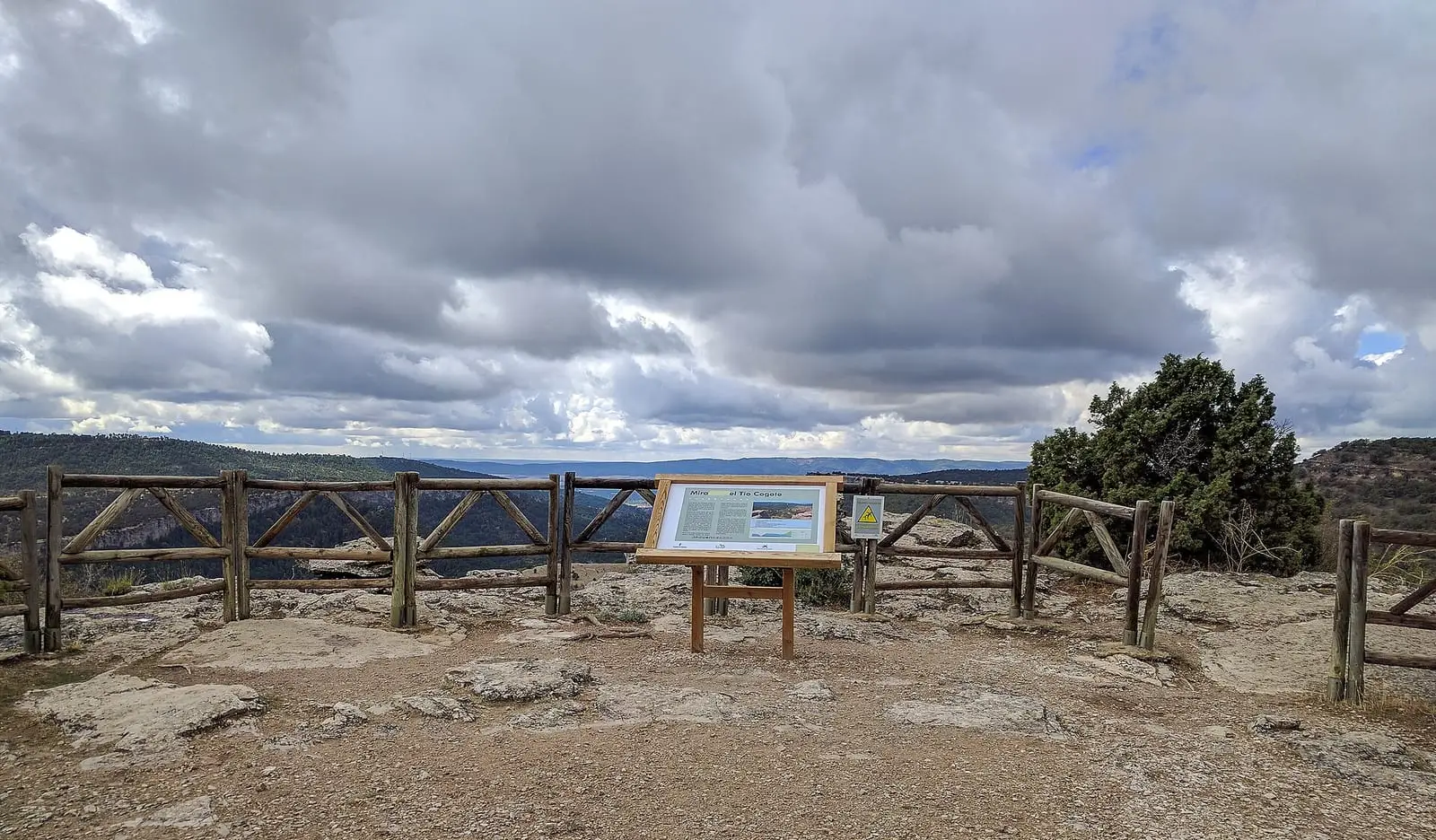
Photo: «Mirador del Tio Cogote 01», Edmundo Sáez (2016) · CC BY-SA 4.0

Read
The memory
30 stories across 11 eras: trades, episodes and lives, with their names, dates and sources.
Walk
The mountains
79 official routes, 15 protected areas and 177 places: gorges, springs, torcas and viewpoints.
Six stories, six eras
All 30 stories →- Geology and dinosaurs · About 125 million years ago – todayWater against limestone: how the Serranía was formed
From the Cretaceous lakes of Las Hoyas and rivers of Lo Hueco to the Ciudad Encantada, sinkholes, the Cuervo's tufa and the sediments of La Parra.
- Towns, lords and the Mesta · from 1500 to 1800Buying themselves
The Serranía from the 16th to 18th centuries: villages buying their own courts, lords, wool, paper and iron, travellers to Peru and China and the 1752 Cadastre.
- The trades of the forest and the water · 18th century – 2023Shepherds of the Serranía: from shepherd boy to the last drove road
Shepherds' lives: hiring at San Pedro, walking to Jaén, huts, trained rams and the Pleiades, and transhumance continuing in 2023.
- War, maquis and post-war · 1946 – todayThe guerrilla in the Serranía de Cuenca
The AGLA in the Serranía de Cuenca: the villages it seized, the camps that were raided and the graves opened in 2006.
- The emptying · from the 1930s to the 1970sThe hearth, school and the road to Valencia
Life in Tragacete and Vega del Codorno in the 20th century: home and hearth, games, school, pig slaughter, war and leaving for domestic service.
- Today · 2000 – 2026The Serranía in the 21st century
The Serranía de Cuenca today: 75% fewer people than in 1950, the Natural Park and Biosphere Reserve, new excavations and memory set in stone.
One land, one map
Seventy-seven villages in three zones. Tap a municipality to open its village, or a zone to explore it; the full map brings together places, routes and protected areas over the 1956 aerial survey and the map of the 1930s.
When to go
Month by month →Forecast for the central point of the municipality of Tragacete (IGN boundaries), not for the village. Today in the Serranía →
The Serranía in three questions
What is the Serranía de Cuenca?
It is the mountainous land in the east and north of the province of Cuenca, in the Iberian Range, which this atlas covers in three zones: Serranía Alta, Media and Baja. Explore the territory.
What protected areas are there in the Serranía de Cuenca?
The largest is the Serranía de Cuenca Natural Park, designated in 2007. There are also natural monuments, Natura 2000 sites and, to the south, the Valle del Cabriel Biosphere Reserve. All protected areas.
What does this website have to do with altotajo.es?
They are sister projects with the same method. What lies in the province of Cuenca and also belongs to the Alto Tajo, such as Beteta, the Hoz de Beteta or the headwaters of the Guadiela and the Cuervo, appears on both websites, each with its own approach and a link to the other.