Heritage · La Frontera
Church of San Andrés Apóstol, La Frontera
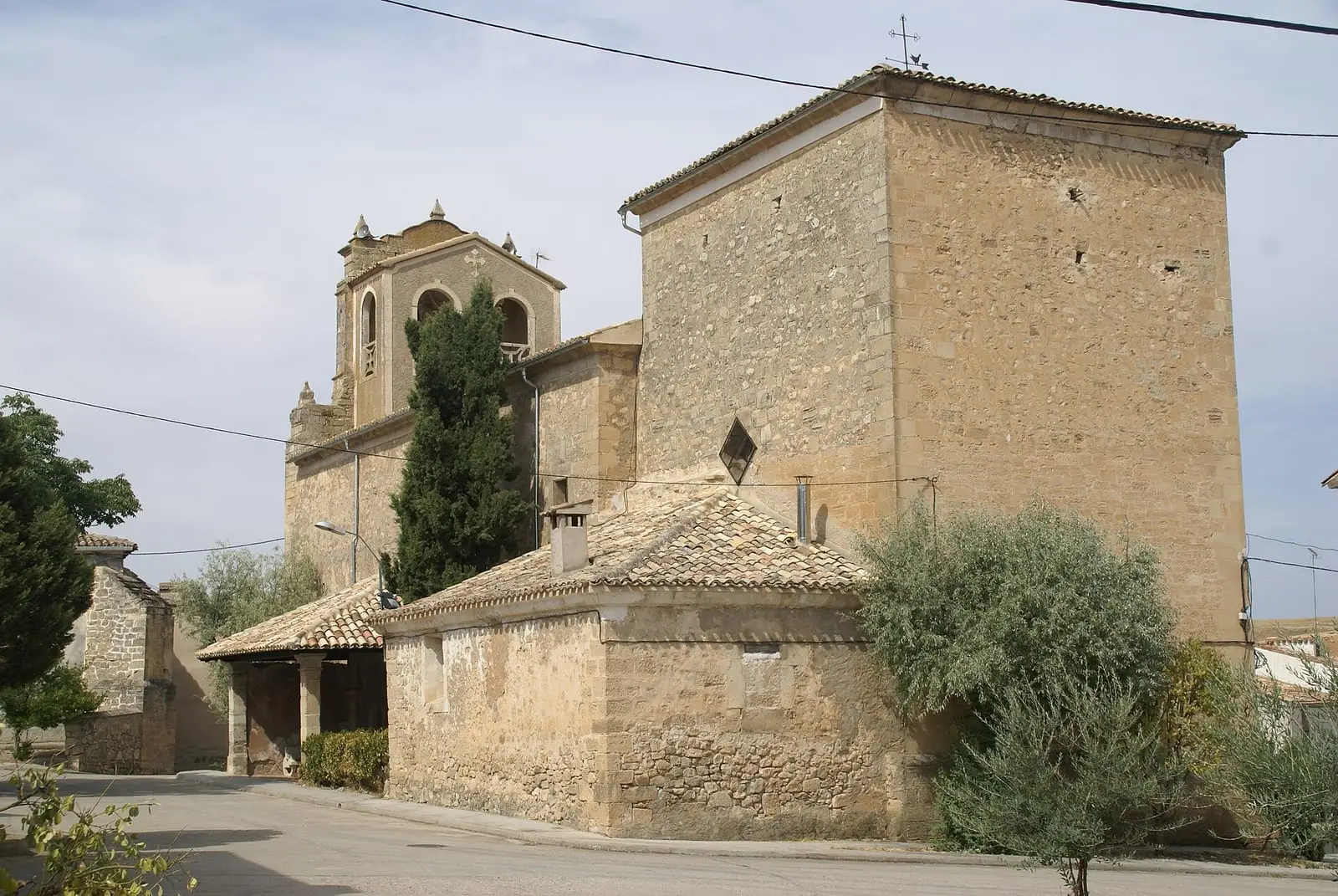
The church of San Andrés Apóstol in La Frontera, in the Campichuelo, is a Baroque building of 1656, rebuilt in 1747, retaining a transitional Romanesque doorway from the 12th century with a barely pointed arch. Inside are a notable baptismal font and a dome on pendentives with paintings of St Peter, St Andrew, St John and St Mark.
- Municipality
- La Frontera
- Romanesque
- Baroque
- La Frontera
- Campichuelo
La Frontera is in the Campichuelo, and its name recalls the 11th-century boundary between Álvar Fáñez’s lands and Muslim territory. The church of San Andrés dates from 1656, is Baroque and was rebuilt in 1747, but retains its transitional Romanesque doorway, with an arch decorated in the 12th-century manner and barely pointed. It has a tall bell gable with two bells. Inside are a single tall nave, the baptismal font and, in the chancel, a dome on pendentives with Baroque ribs and painted figures of St Peter, St Andrew, St John and St Mark.
Plan your visit
The village also has the hermitage of Nuestra Señora de Belén and the tower of Cristo de San Isidro, dating from the 1950s.
Frequently asked questions
Why is it called La Frontera?
Because it lay between the lands conquered by Álvar Fáñez under Alfonso VI and those still in Muslim hands in the 11th century.
Carry on from here
Lands and landscapes
From here, follow the memory of the land
These readings connect Church of San Andrés Apóstol, La Frontera with the stories, the work and the villages around it.
Where it is
Where the data on this page come from
- Name
- Diputación Provincial de Cuenca source consulted, 4 October 2026
- Municipality (INE code)
- Diputación Provincial de Cuenca source consulted, 4 October 2026
«Source consulted»: the primary source has been read. «Reference located»: the source has been identified but not yet read. «Open question»: the figure needs confirmation.