Village · Cuenca
La Frontera
La Frontera is a village in Serranía Media (middle Serranía), in the Campichuelo district. Its name comes from its position between lands conquered by Álvar Fáñez and those held by Muslims. San Andrés church has a transitional Romanesque doorway. It had 855 inhabitants in 1940 and 147 in 2021.
On this page 10 sections
A village on the frontier
La Frontera lies in Serranía Media (middle Serranía), in the Campichuelo district. Its name comes from its position in the 11th century, between the lands Álvar Fáñez won for Alfonso VI and those still in Muslim hands. It is less cold than the high mountains.
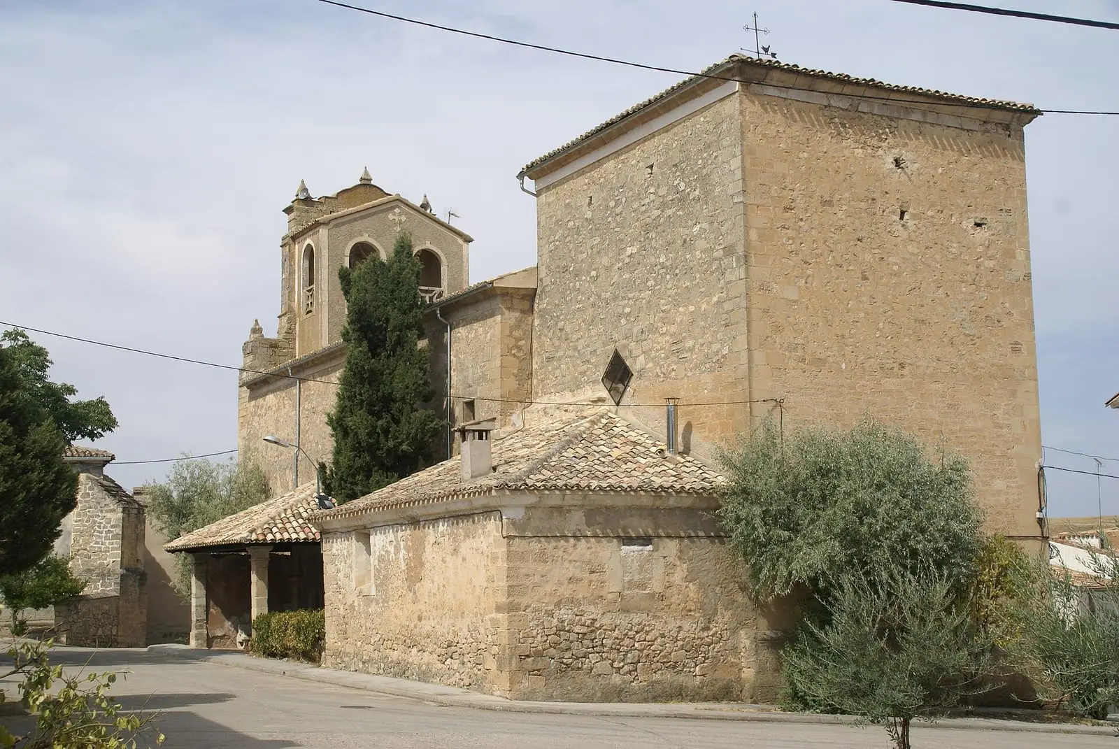
The church of San Andrés Apóstol retains a transitional Romanesque doorway from the 12th century, with a barely pointed arch. The present church is Baroque, dating from 1656 and last rebuilt in 1747: a single tall nave, a bell gable with two bells and, above the chancel, a hemispherical dome with Baroque ribs and paintings of St Peter, St Andrew, St John and St Mark.
What trades and memory tell
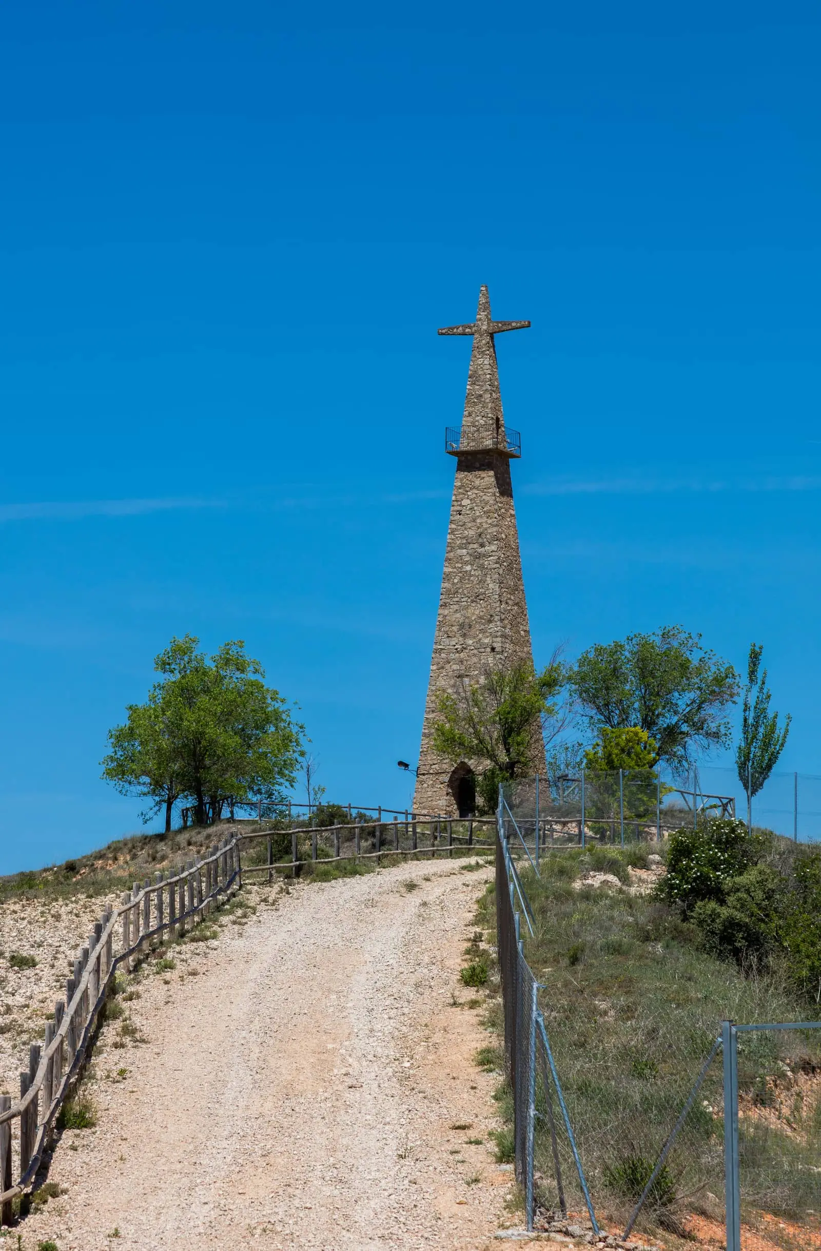
The Cristo de San Isidro was built in the 1950s: a very tall pyramidal tower housing an image of the farming saint in a small hermitage. The village also has the Nuestra Señora de Belén hermitage.
The reservoir that was never built
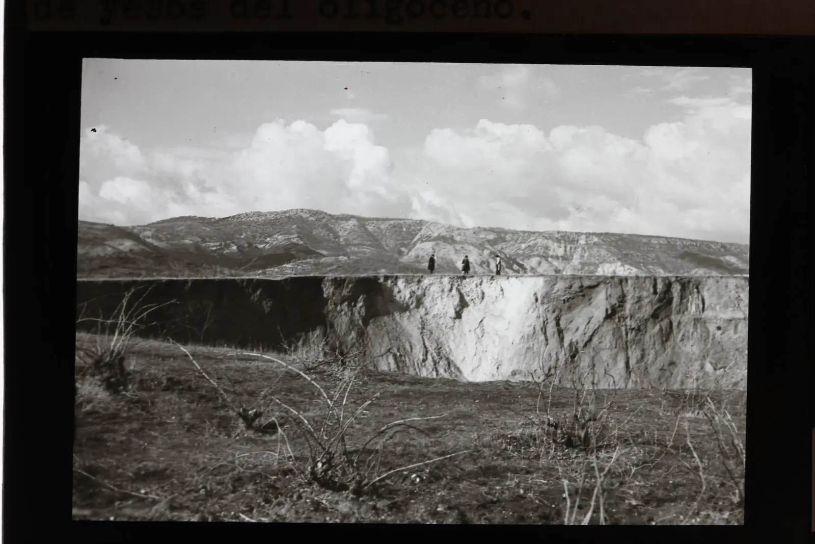
In the early 20th century, La Frontera almost acquired a reservoir on its doorstep. The canals and reservoirs plan of 1900 included the Portillo reservoir, with a 51-metre dam in the Priego narrows, fed solely by the Escabas, to irrigate the Tagus floodplains between Estremera and Talavera. A royal order in 1903 opened the scheme to public consultation. It would have flooded 865 hectares, almost all of Cañamares and the La Frontera valley as far as the foot of the village, and cut across the Beteta royal drove road. The engineer who studied it himself feared leaks: around La Frontera the ground is gypsum, full of torcas, collapse sinkholes, such as El Recuenco, which villagers regard as the sinkhole that drains the rainwater. On 15 March 1927, the Noguerilla torca suddenly opened up, and the newspapers reported it. The reservoir was never built.
The old road from Cuenca to Molina de Aragón through Mariana, Sotos and Campichuelo passed through La Frontera. In 1878 the Provincial Council required La Frontera, Albalate, Cañamares and Cañizares to repair the road that the owner of the Solán de Cabras spa had opened at his own expense to bring bathers there.
Plan your visit
Allow an hour for the church, the hermitage and the Cristo.
Before you travel
Ask the town hall or parish when the church opens.
Combine with
Cañamares is 6 km away in a straight line and Fresneda de la Sierra 6.5 km.
From the archive
Frequently asked questions
Why is it called La Frontera?
Because it stood between lands conquered by Álvar Fáñez under Alfonso VI and those held by Muslims in the 11th century.
What is there to see in La Frontera?
The parish church of San Andrés Apóstol, the Nuestra Señora de Belén hermitage and the Cristo de San Isidro, a pyramidal tower from the 1950s with a small hermitage at its base.
Carry on from here
The rivers, zones, eras, places and official routes that the atlas links with La Frontera.
Lands and landscapes
From here, follow the memory of the land
These readings connect La Frontera with the stories, the work and the villages around it.
Places in the municipality and around it
Near La Frontera
Cruz de Solán viewpoint
Beteta
Armentero viewpoint
Beteta
Las Librerías viewpoint
See 5 more
Tragavivos viewpoint
Cañizares
Balcón de Pilatos viewpoint
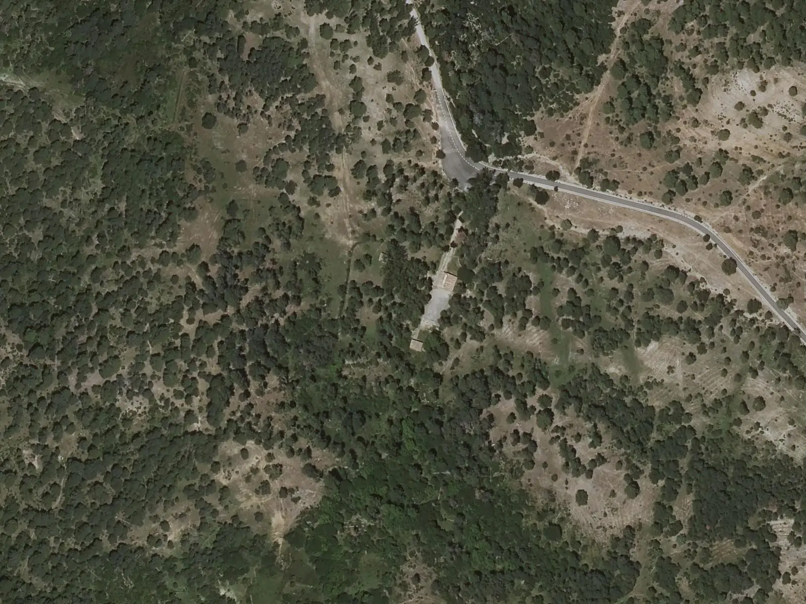
Fuente de la Tía Perra picnic area
Cuenca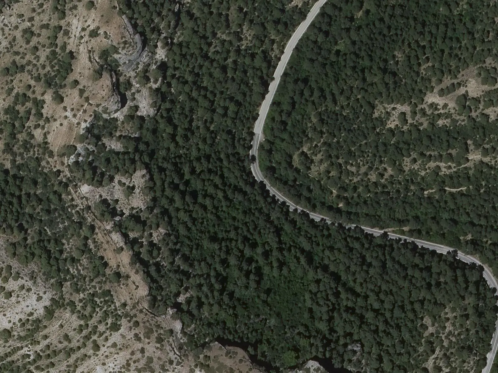
Fuente de los Tilos picnic area
Beteta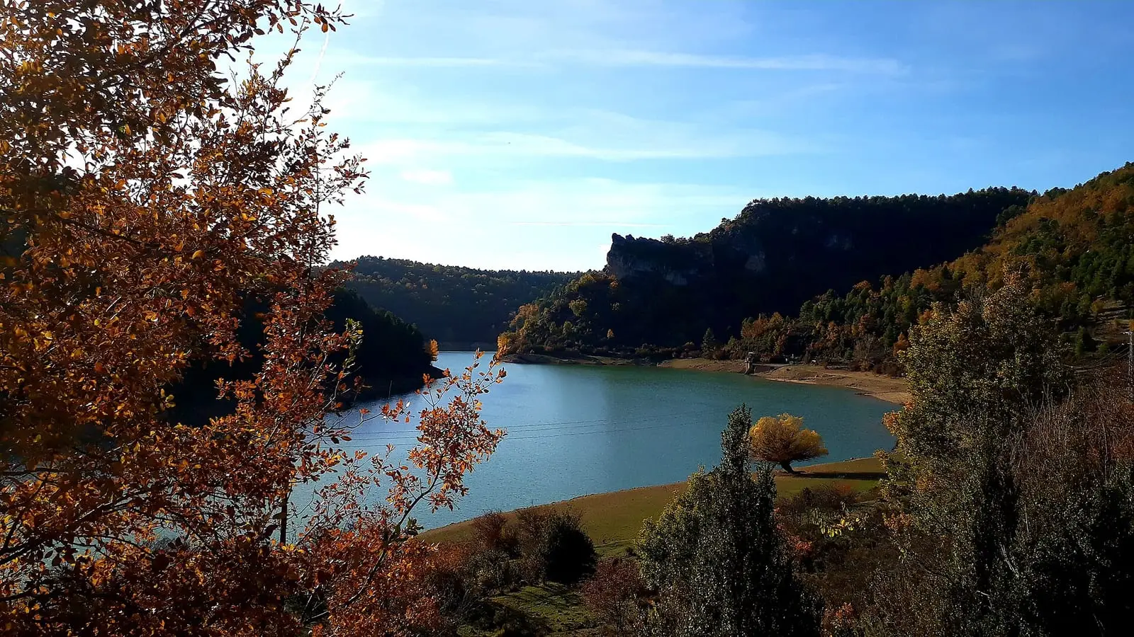
La Tosca reservoir
Santa María del ValPopulation of La Frontera, 1842–2021
La Frontera reached 855 inhabitants in 1940. The 2021 census counted 147, 83 % fewer. It is the story told in the emptying.
Climate in La Frontera month by month
Averages for the ten years from 2015 to 2024 from the ERA5 reanalysis (Copernicus), for a grid cell with a reference altitude of 981 m. They are model estimates, not measurements from a local station or thirty-year climate normals.
Source: Copernicus ERA5 via Open-Meteo, CC BY 4.0. Retrieved: 2026-10-09.
Location
● Reference point · ● Villages · ● Places · ━ Routes nearby
Location sketch. The map with paths and names loads as you scroll to it.
Approximate position: village centre.
Reference villages: Cañamares · Fresneda de la Sierra · Castillejo-Sierra · Fuertescusa.
Open the full map and its historical layers →Where the data on this page come from
- Location
- IGN: Nomenclátor Geográfico Básico de España, capital de municipio (CC BY 4.0) source consulted, 9 October 2026
«Source consulted»: the primary source has been read. «Reference located»: the source has been identified but not yet read. «Open question»: the figure needs confirmation.