Route · Priego
PR-CU 42: Ruta del mirador del Rodenal
PR-CU 42, Ruta del mirador del Rodenal, is a circular short-distance trail of 14 km, of moderate difficulty, starting in Priego, climbing from 862 to 1,298 m with 544 m of accumulated elevation gain and taking about 4 hours. It is promoted by the Town Council and marked in the register for geological, ethnographic and historic-building interest.
- Code
- PR-CU 42
- Distance
- 14 km
- Layout
- Circular
- Difficulty
- Moderate
Walking time without travel or stops. Difficulty as graded by the official source. «Easy» does not mean accessible.
- PR-CU 42
- Priego
- Rodenal
- Escabas
Where to start
In Priego, beside the trail sign. It heads north along Calle Extramuros.
The route
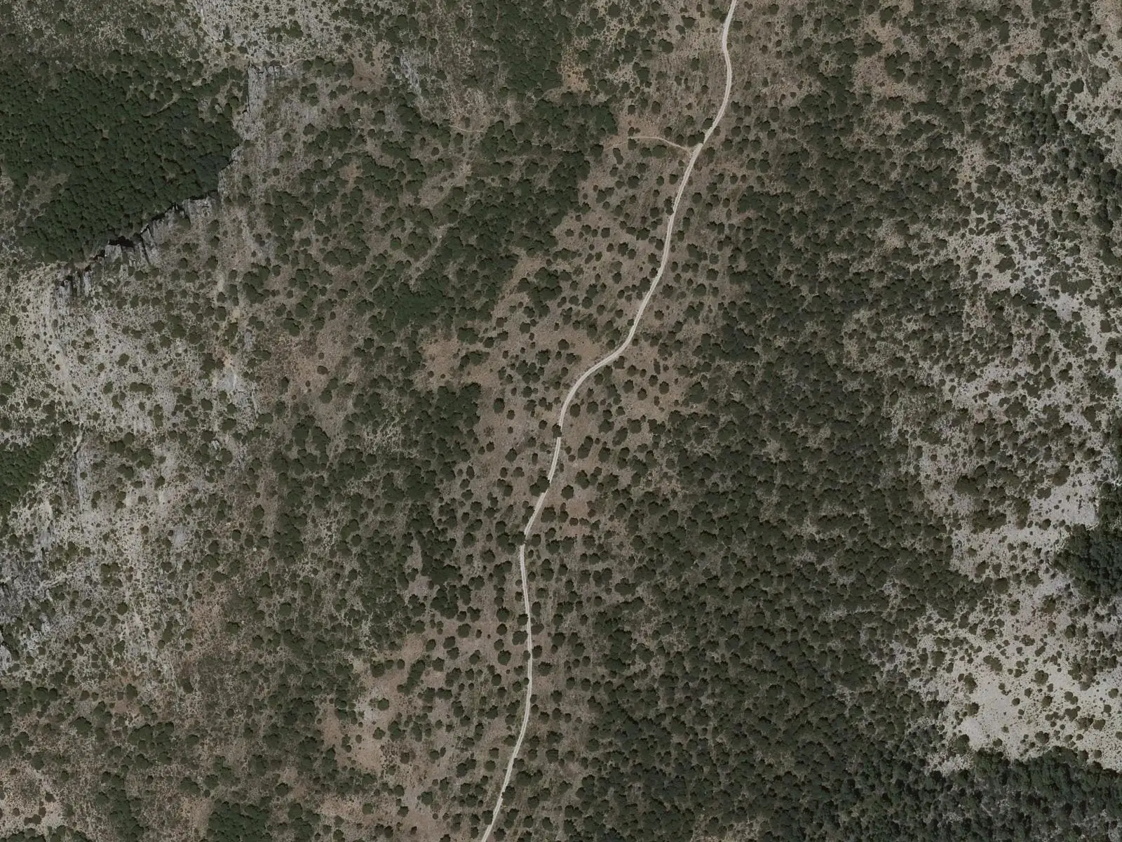
The first landmark is the ruined convent of Nuestra Señora del Rosal, from the 16th century. Then about three kilometres of track and a steep climb gaining over 300 metres to a high plain surrounded by pine forest. The path follows the ridge of the Sierra del Rodenal to its viewpoint: below is the Hoz de Priego, where the Escabas emerges, and much of the Alcarria.
To descend, retrace just over 800 metres and take a path left over a rock step to the road to the convent of San Miguel de las Victorias, also from the 16th century. Before reaching it, a narrow path among olive groves and scrub returns to the village.
Difficulty and time
Circular, 14 km, from 862 to 1,298 m, with 544 m of elevation gain; about 4 hours. Moderate difficulty: gradients are steep on both ascent and descent.
Before you set out
Take care at road crossings and the rock passage on the descent. Priego has all facilities. The village’s other route is PR-CU 43, along the Escabas riverbank.
Official route · Federación de Deportes de Montaña de Castilla-La Mancha y Diputación de Cuenca (Senderos de Cuenca) (PR-CU 42). Description, track and notices on the official route page (in Spanish). Before you set out, check there for changes or closures.
Frequently asked questions
What is of interest?
The trail register marks geological and historical interest, resting areas, ethnographic remains and interpretation spaces.
Is there another route in Priego?
Yes, PR-CU 43, along the Escabas riverbank and La Cerroya.
Carry on from here
Lands and landscapes
From here, follow the memory of the land
These readings connect Ruta del mirador del Rodenal with the stories, the work and the villages around it.
Where it is
● Villages · ● Places · ━ Simplified official route
Location sketch. The map with paths and names loads as you scroll to it.
Reference villages: Priego · Cañamares · La Frontera · Fuertescusa.
Open the full map and its historical layers →Where the data on this page come from
- Name
- FDMCM · Diputación Provincial de Cuenca source consulted, 4 October 2026
- Municipality (INE code)
- FDMCM · Diputación Provincial de Cuenca source consulted, 4 October 2026
- Route data
- FDMCM · Diputación Provincial de Cuenca source consulted, 4 October 2026
«Source consulted»: the primary source has been read. «Reference located»: the source has been identified but not yet read. «Open question»: the figure needs confirmation.