Route · Priego
PR-CU 43: Ruta de la ribera del Escabas y La Cerroya
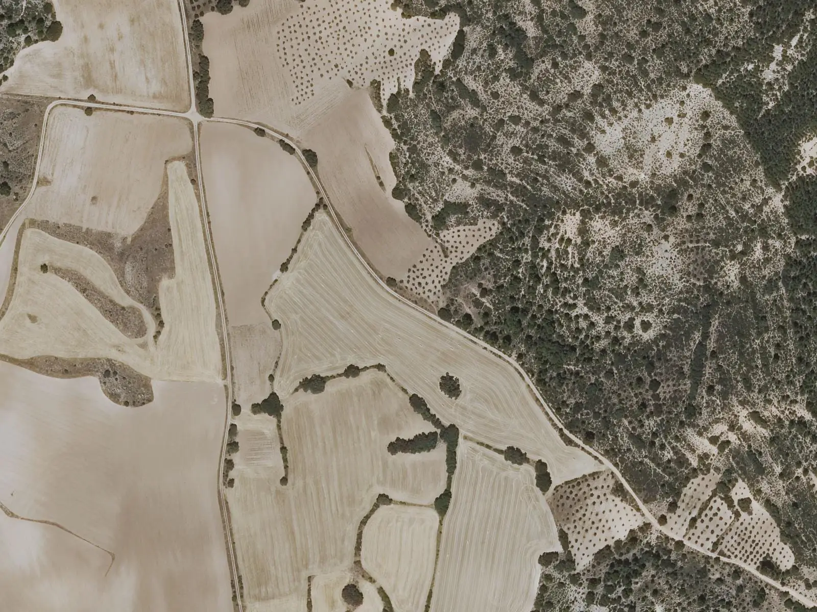
PR-CU 43, Ruta de la ribera del Escabas y La Cerroya, is an easy circular short-distance trail of 7.5 km and 214 m of elevation gain, starting in Priego. It descends to the Escabas, crosses the medieval Liendre bridge, skirts La Cerroya hill and returns the same way.
- Code
- PR-CU 43
- Distance
- 7.5 km
- Elevation gain
- 214 m
- Time
- 3 h
- Layout
- Circular
- Difficulty
- Easy
Walking time without travel or stops. Difficulty as graded by the official source. «Easy» does not mean accessible.
- PR-CU 43
- Priego
- Escabas
- Puente Liendre
Where to start
In Priego.
The route
It descends to the Escabas, set in a deep cleft with rocky slopes and abundant riverside vegetation, and crosses it by the medieval Liendre bridge. It follows a track among olive groves and farmland and circles La Cerroya, the hill south of the village. At El Molino it follows the river upstream, along path and track.
Opposite Priego, IGME studies as a site of geological interest a tufa terrace tens of thousands of years old, resting on a limestone fold.
Difficulty and time
Circular, 7.5 km and 214 m of elevation gain, 2 to 4 hours. Easy.
Before you set out
It can be walked all year. The village’s other route is PR-CU 42.
Official route · Federación de Deportes de Montaña de Castilla-La Mancha y Diputación de Cuenca (Senderos de Cuenca) (PR-CU 43). Description, track and notices on the official route page (in Spanish). Before you set out, check there for changes or closures.
Frequently asked questions
How difficult is it?
Easy: 7.5 km, 2 to 4 hours, with altitudes from 800 to 914 m.
Which bridge does it cross?
Puente Liendre, a medieval bridge over the Escabas.
Carry on from here
Lands and landscapes
From here, follow the memory of the land
These readings connect Ruta de la ribera del Escabas y La Cerroya with the stories, the work and the villages around it.
Where it is
● Villages · ● Places · ━ Simplified official route
Location sketch. The map with paths and names loads as you scroll to it.
Reference villages: Priego · Cañamares · La Frontera · Fuertescusa.
Open the full map and its historical layers →Where the data on this page come from
- Name
- Federación de Deportes de Montaña de Castilla-La Mancha (FDMCM) / Senderos de Cuenca source consulted, 10 October 2026
- Municipality (INE code)
- Federación de Deportes de Montaña de Castilla-La Mancha (FDMCM) / Senderos de Cuenca source consulted, 10 October 2026
- Route data
- Federación de Deportes de Montaña de Castilla-La Mancha (FDMCM) / Senderos de Cuenca source consulted, 10 October 2026
«Source consulted»: the primary source has been read. «Reference located»: the source has been identified but not yet read. «Open question»: the figure needs confirmation.