Place · Pajaroncillo
Las Corbeteras
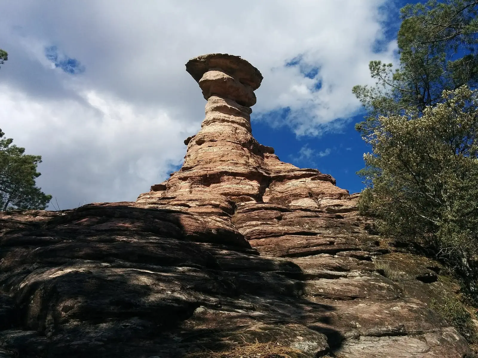
Las Corbeteras is a natural site in the Serranía Baja (lower Serranía), around 2 km from Pajaroncillo and 54 km from Cuenca, where water has eroded limestone into unusual shapes and natural chimneys over millions of years. The path crosses pine-covered hills, poplar groves and farmland.
- Municipality
- Pajaroncillo
- Las Corbeteras
- Karst
- Pajaroncillo
- Limestone
Carved rock
Las Corbeteras, in Pajaroncillo, is a walk among rocks. Water has worn away the limestone over millions of years, leaving unusual shapes and natural chimneys. The path crosses pine-covered hills, poplar groves and farmland, with gorges and riverbanks providing the other colours.
Plan your visit
Combine with
In the same municipality, the Iron Age burial mound fields.
Frequently asked questions
Where are they?
Around 2 km from Pajaroncillo, in the Serranía Baja (lower Serranía), around 54 km from the provincial capital.
What can be seen?
Unusual limestone shapes and natural chimneys, pine-covered hills, poplar groves, gorges and riverbanks.
Carry on from here
Lands and landscapes
From here, follow the memory of the land
These readings connect Las Corbeteras with the stories, the work and the villages around it.
Where it is
Where the data on this page come from
- Name
- Descubre Cuenca (Diputación de Cuenca) source consulted, 10 October 2026
- Village
- Descubre Cuenca (Diputación de Cuenca) source consulted, 10 October 2026
«Source consulted»: the primary source has been read. «Reference located»: the source has been identified but not yet read. «Open question»: the figure needs confirmation.