Route · Cardenete
PR-CU 51: Sendero de las Fuentes
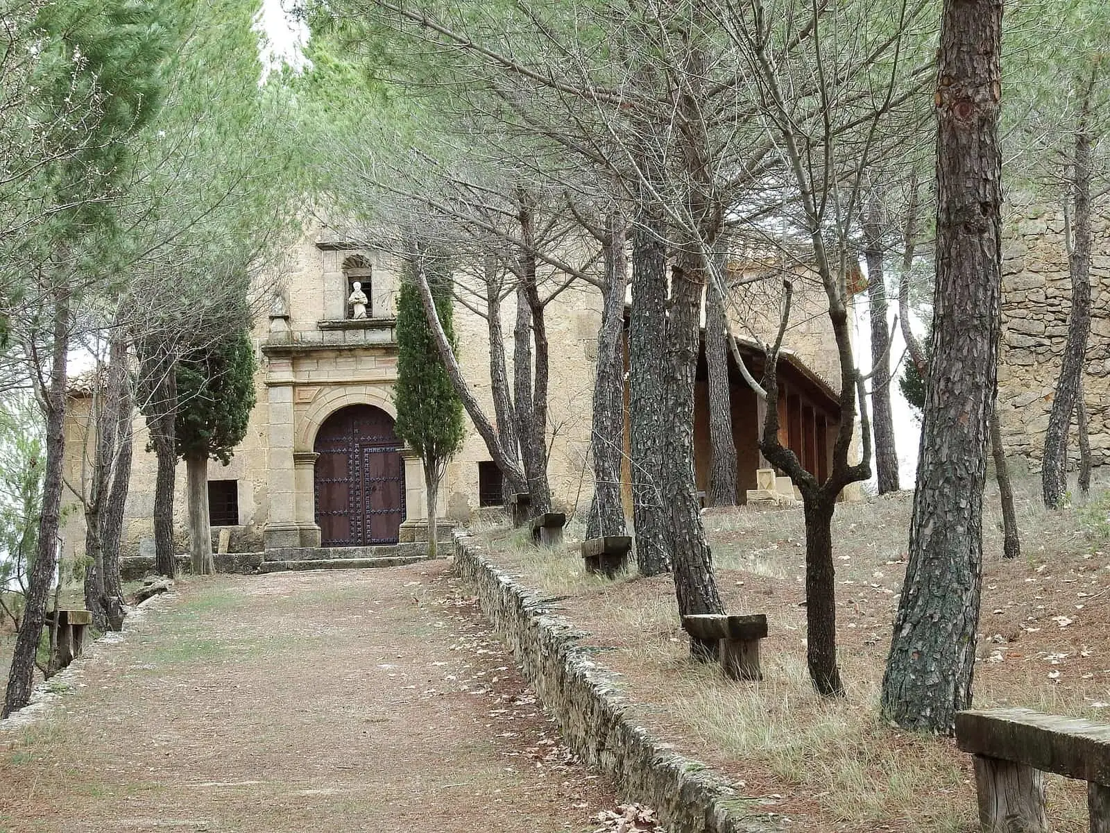
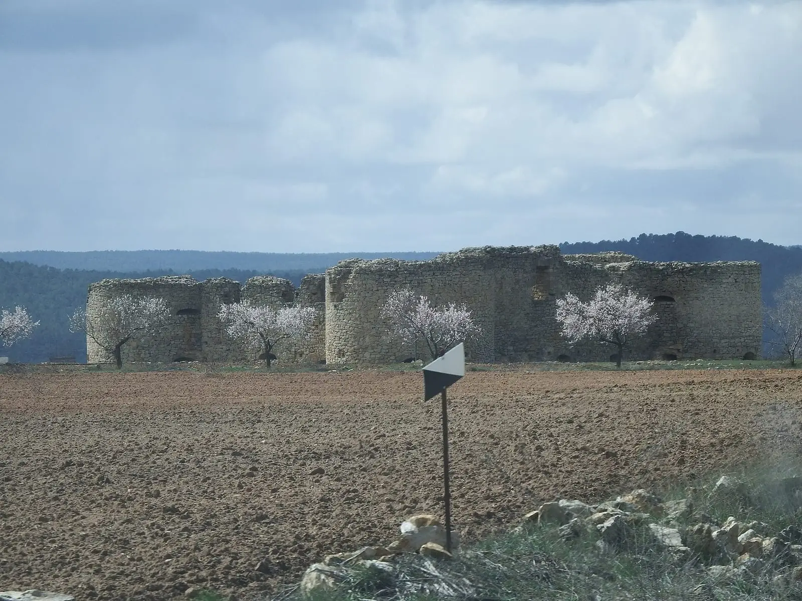
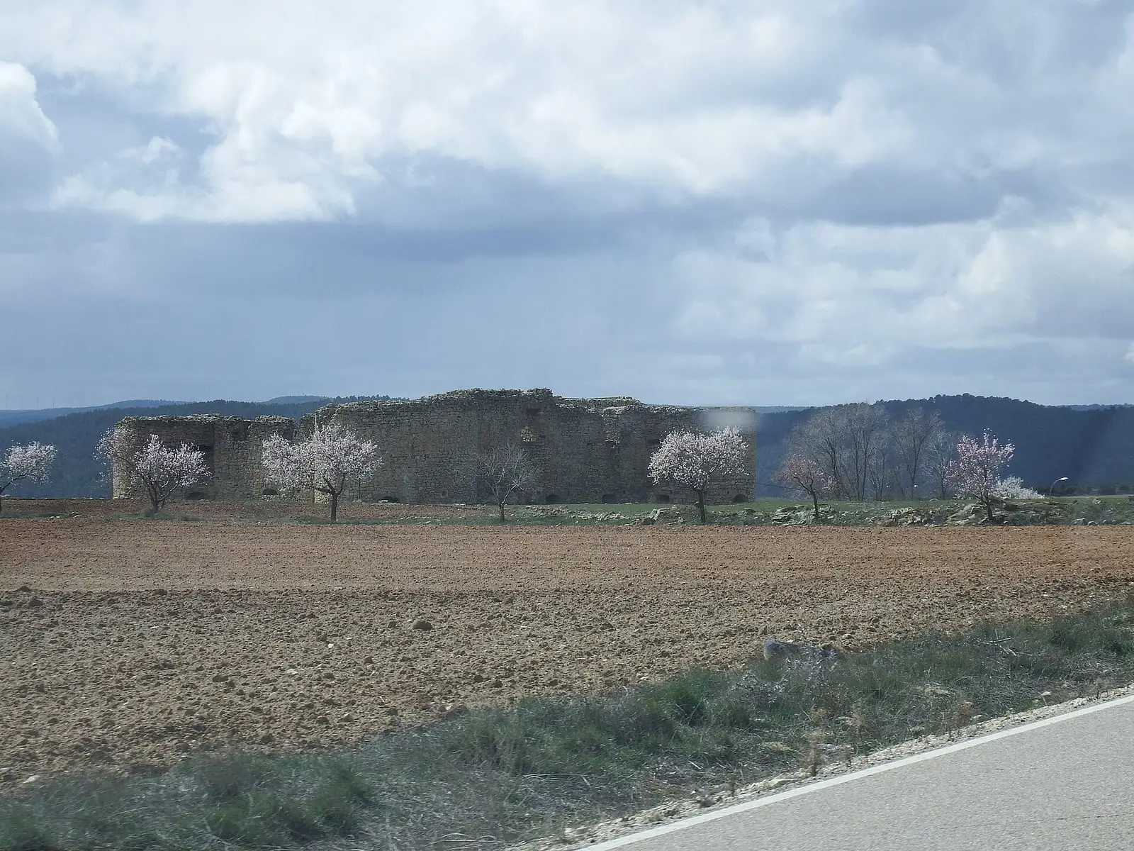
PR-CU 51, Sendero de las Fuentes, is a circular short-distance trail of 32.5 km with 564 m of elevation gain and moderate difficulty, starting at Fuente del Tornajo beside Cardenete fortress. It passes San Antonio hermitage, the Dehesilla, Sarga and Santillo springs, a panorama over the Cabriel valley fields and Rento de la Toba.
- Code
- PR-CU 51
- Distance
- 32.5 km
- Elevation gain
- 564 m
- Layout
- Circular
- Difficulty
- Moderate
Walking time without travel or stops. Difficulty as graded by the official source. «Easy» does not mean accessible.
- PR-CU 51
- Cardenete
- Springs
Where to start
At Fuente del Tornajo, beside the castle in Cardenete.
The route
It heads towards San Antonio hermitage and alternates path, track and road among pine forests, with the Dehesilla and Sarga springs. It continues via Barracas del Villar and Santillo spring to a vantage point over the Cabriel valley fields. Beyond Rento de la Toba, at Hoya de la Tabla, the landscape changes to extensive rosemary scrub, then holm oaks and pines, to the Sargal valley fields, of vegetable gardens and rain-fed crops, returning to the village.
Difficulty and time
Circular, 32.5 km and 564 m of elevation gain, of moderate difficulty and over six hours.
Before you set out
It crosses the Villar del Humo road several times: take care. Cardenete has all facilities.
Official route · Federación de Deportes de Montaña de Castilla-La Mancha y Diputación de Cuenca (Senderos de Cuenca) (PR-CU 51). Description, track and notices on the official route page (in Spanish). Before you set out, check there for changes or closures.


Frequently asked questions
How long is it?
32.5 km, with 564 m of elevation gain; it is the register's longest route in the area.
Where does it start?
At Fuente del Tornajo, beside Cardenete fortress.
Carry on from here
Lands and landscapes
From here, follow the memory of the land
These readings connect Sendero de las Fuentes with the stories, the work and the villages around it.
Where it is
● Villages · ● Places · ━ Simplified official route
Location sketch. The map with paths and names loads as you scroll to it.
Reference villages: Cardenete · Yémeda · Víllora · Enguídanos.
Open the full map and its historical layers →Where the data on this page come from
- Name
- Federación de Deportes de Montaña de Castilla-La Mancha (FDMCM) / Senderos de Cuenca source consulted, 4 October 2026
- FDMCM · Diputación Provincial de Cuenca source consulted, 4 October 2026
- Federación de Deportes de Montaña de Castilla-La Mancha / Diputación de Cuenca source consulted, 4 October 2026
- Diputación Provincial de Cuenca y Federación de Deportes de Montaña de Castilla-La Mancha (según fuentes públicas) source consulted, 5 October 2026
- Federación de Deportes de Montaña de Castilla-La Mancha source consulted, 5 October 2026
- PSTD Valle del Cabriel · Diputación de Cuenca source consulted, 4 October 2026
- Municipality (INE code)
- Federación de Deportes de Montaña de Castilla-La Mancha (FDMCM) / Senderos de Cuenca source consulted, 4 October 2026
- FDMCM · Diputación Provincial de Cuenca source consulted, 4 October 2026
- Federación de Deportes de Montaña de Castilla-La Mancha / Diputación de Cuenca source consulted, 4 October 2026
- Diputación Provincial de Cuenca y Federación de Deportes de Montaña de Castilla-La Mancha (según fuentes públicas) source consulted, 5 October 2026
- PSTD Valle del Cabriel · Diputación de Cuenca source consulted, 4 October 2026
- Route data
- Federación de Deportes de Montaña de Castilla-La Mancha (FDMCM) / Senderos de Cuenca source consulted, 4 October 2026
- FDMCM · Diputación Provincial de Cuenca source consulted, 4 October 2026
- Federación de Deportes de Montaña de Castilla-La Mancha / Diputación de Cuenca source consulted, 4 October 2026
- Diputación Provincial de Cuenca y Federación de Deportes de Montaña de Castilla-La Mancha (según fuentes públicas) source consulted, 5 October 2026
- Federación de Deportes de Montaña de Castilla-La Mancha source consulted, 5 October 2026
- PSTD Valle del Cabriel · Diputación de Cuenca source consulted, 4 October 2026
«Source consulted»: the primary source has been read. «Reference located»: the source has been identified but not yet read. «Open question»: the figure needs confirmation.