Route · Talayuelas
Sendero interpretativo circular de la Laguna de Talayuelas
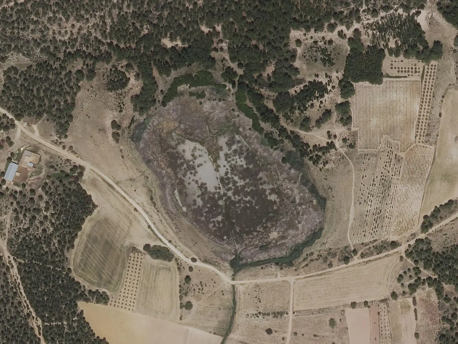
The circular interpretive trail at Laguna de Talayuelas is 2.3 km long, almost flat and easy, circling this micro-reserve's shore to a bird hide in a converted irrigation hut. It is maintained by the regional government of Castilla-La Mancha.
- Distance
- 2.3 km
- Elevation gain
- 10 m
- Layout
- Circular
- Difficulty
- Easy
Walking time without travel or stops. Difficulty as graded by the official source. «Easy» does not mean accessible.
- Laguna de Talayuelas
- Interpretive trail
- Bird hide
Where to start
Beside Laguna de Talayuelas, in Talayuelas.
The route
It circles the lakeshore, with underwater stonewort beds, reeds on the shore and red sands and maritime-pine forest around it, ending at a bird hide, a former irrigation hut.
Difficulty and time
Circular, 2.3 km, almost flat and easy. The regional government’s leaflet estimates about two hours.
Before you set out
This is a micro-reserve: do not enter the water, disturb birds or take anything from the shore.
Official route · Junta de Comunidades de Castilla-La Mancha. Description, track and notices on the official route page (in Spanish). Before you set out, check there for changes or closures.
Frequently asked questions
What can be seen?
Waterbirds, underwater stoneworts, red sands with gullies and maritime-pine forest.
What are the rules?
Do not enter the water, disturb birds or collect anything from the shore.
Carry on from here
Lands and landscapes
From here, follow the memory of the land
These readings connect Sendero interpretativo circular de la Laguna de Talayuelas with the stories, the work and the villages around it.
Where it is
Where the data on this page come from
- Name
- Galanita / gestión editorial por verificar source consulted, 5 October 2026
- Municipality (INE code)
- Galanita / gestión editorial por verificar source consulted, 5 October 2026
- Route data
- Galanita / gestión editorial por verificar source consulted, 5 October 2026
«Source consulted»: the primary source has been read. «Reference located»: the source has been identified but not yet read. «Open question»: the figure needs confirmation.