Route · Aliaguilla
PR-CU 14: Sendero de Torrelahuerta
PR-CU 14, Sendero de Torrelahuerta, is an easy circular short-distance trail of 10.5 km with 321 m of elevation gain and about 3 hours. It follows the old Aliaguilla–Mira road to Torrelahuerta's 11th-century Muslim tower and climbs through pine forest to the Pedro Chova saddle and Telégrafo summit.
- Code
- PR-CU 14
- Distance
- 10.5 km
- Elevation gain
- 321 m
- Time
- 3 h
- Layout
- Circular
- Difficulty
- Easy
Walking time without travel or stops. Difficulty as graded by the official source. «Easy» does not mean accessible.
- PR-CU 14
- Aliaguilla
- Torrelahuerta
Where to start
In Aliaguilla, along Calle de Torrelahuerta, heading west.
The route
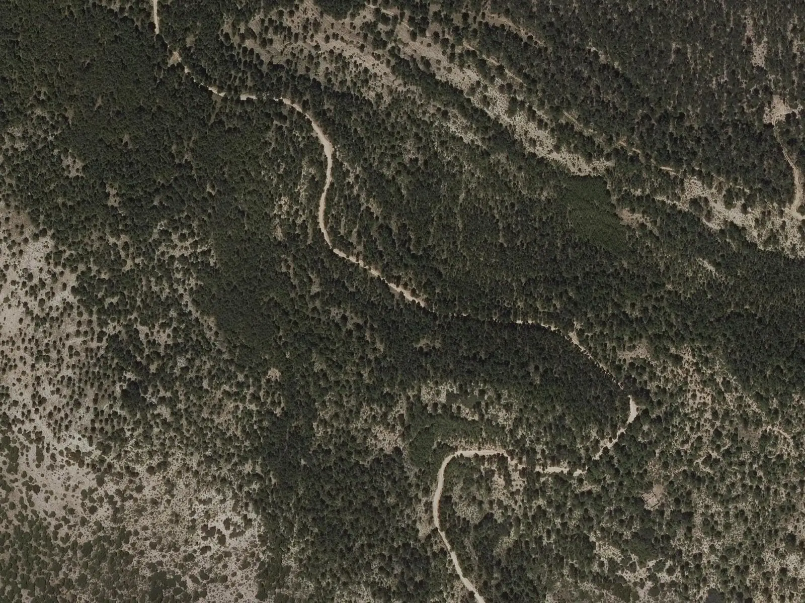
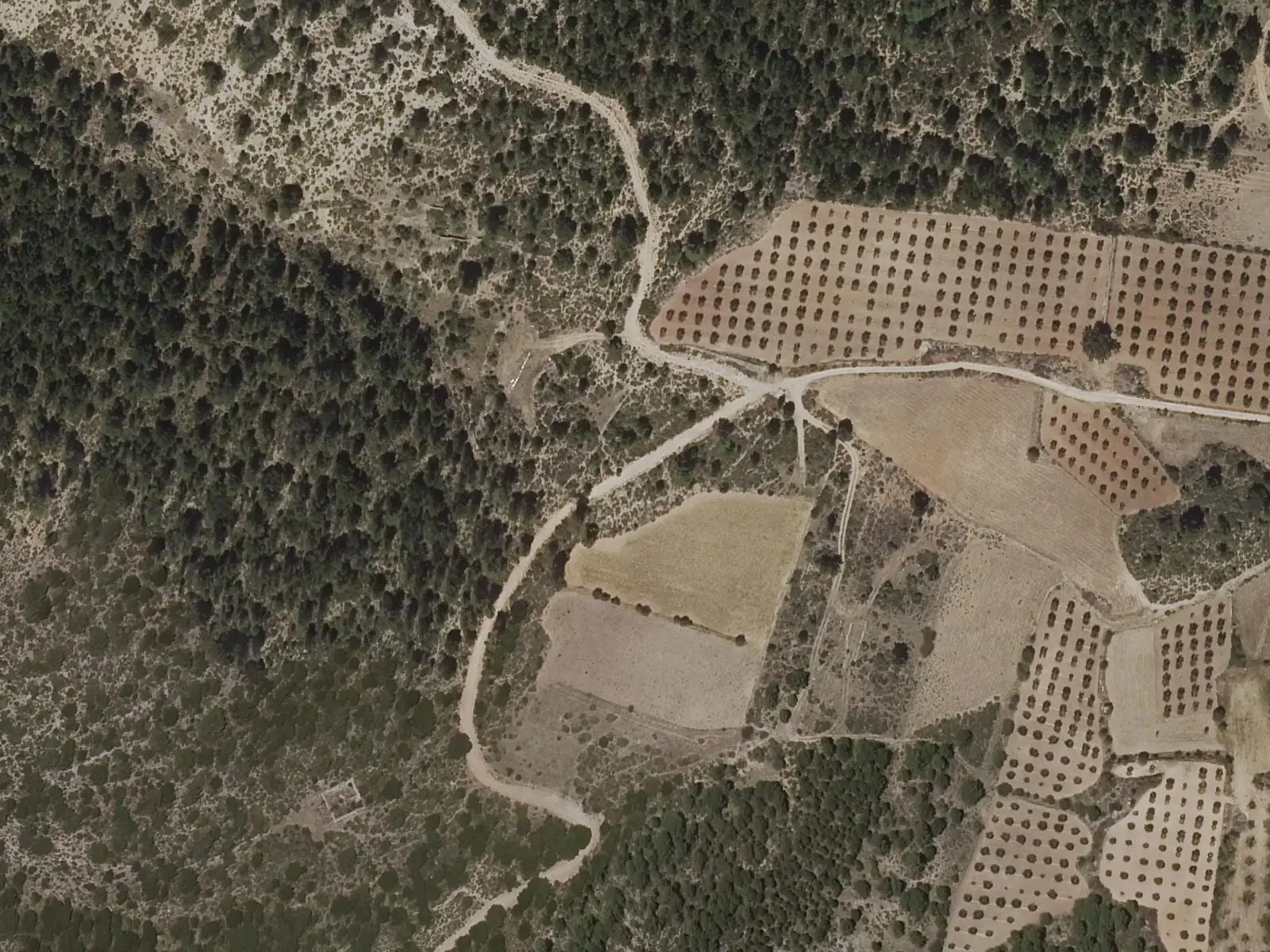
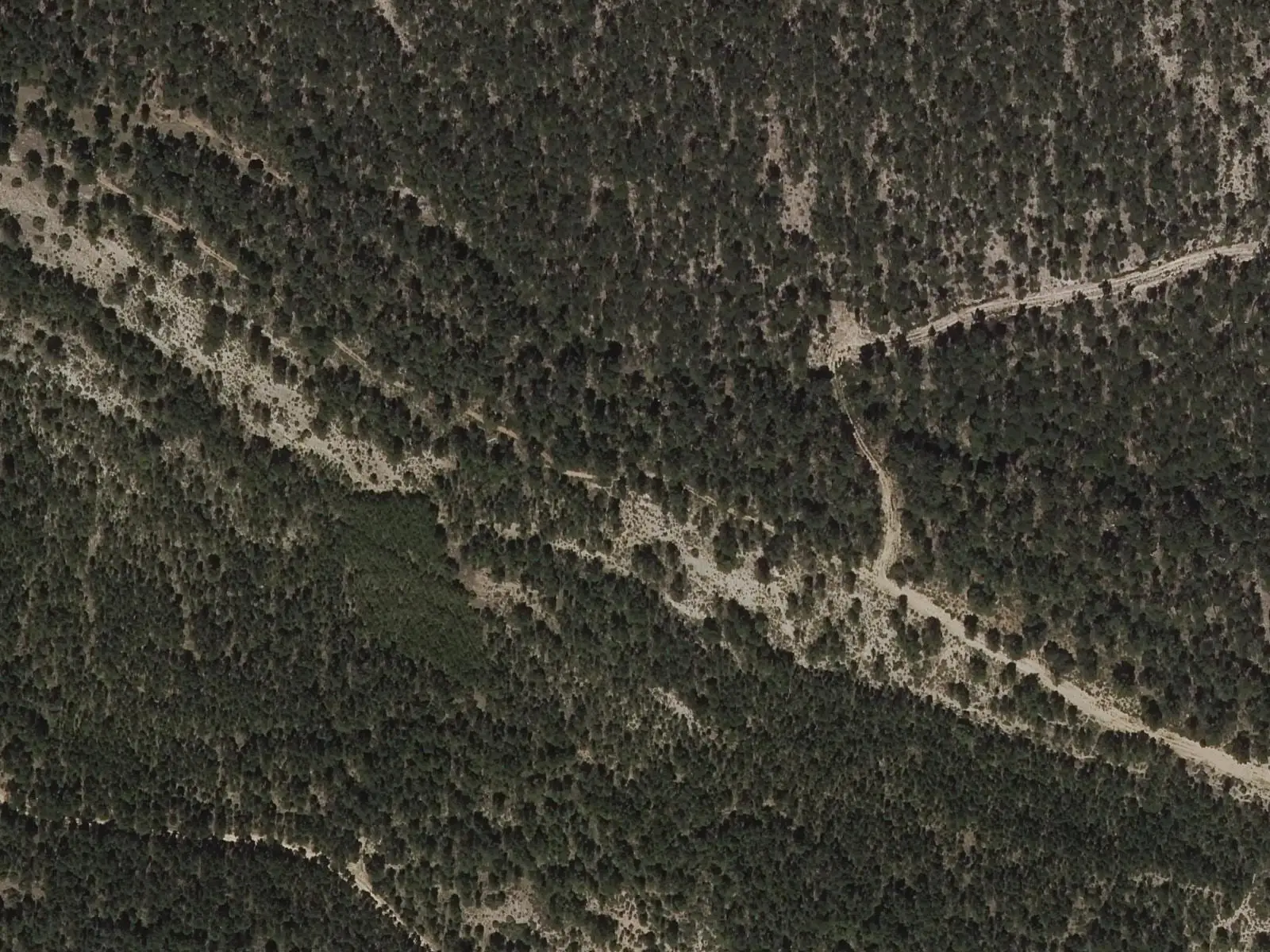
A broad track with many junctions follows the old road to Mira among cereals and uncultivated hills to Torrelahuerta. An 11th-century Andalusi tower stands there, surrounded by vegetable-garden terraces irrigated from the aquifer. Pine forest then dominates, as far as the Pedro Chova saddle and the Telégrafo summit, treeless and with the best views. Nearby is Pico Pelado, 1,422 m high, partly a micro-reserve.
Difficulty and time
Circular, 10.5 km and 321 m of elevation gain, about 3 hours. Easy, although the middle section climbs steeply.
Before you set out
These are pine-forest tracks without facilities: take water.
Official route · Federación de Deportes de Montaña de Castilla-La Mancha y Diputación de Cuenca (Senderos de Cuenca) (PR-CU 14). Description, track and notices on the official route page (in Spanish). Before you set out, check there for changes or closures.
Frequently asked questions
What is there at Torrelahuerta?
An 11th-century Muslim tower, known as Torrelahuerta castle, and vegetable-garden terraces.
How far does the trail go?
To the Telégrafo summit; Pico Pelado, 1,422 m high, is nearby.
Carry on from here
Lands and landscapes
From here, follow the memory of the land
These readings connect Sendero de Torrelahuerta with the stories, the work and the villages around it.
Where it is
● Villages · ● Places · ━ Simplified official route
Location sketch. The map with paths and names loads as you scroll to it.
Reference villages: Aliaguilla · Garaballa · Mira · Talayuelas.
Open the full map and its historical layers →Where the data on this page come from
- Name
- Federación de Deportes de Montaña de Castilla-La Mancha (FDMCM) / Senderos de Cuenca source consulted, 4 October 2026
- FDMCM · Diputación Provincial de Cuenca source consulted, 4 October 2026
- Diputación Provincial de Cuenca y Federación de Deportes de Montaña de Castilla-La Mancha (según fuentes públicas) source consulted, 5 October 2026
- Federación de Deportes de Montaña de Castilla-La Mancha source consulted, 5 October 2026
- Municipality (INE code)
- Federación de Deportes de Montaña de Castilla-La Mancha (FDMCM) / Senderos de Cuenca source consulted, 4 October 2026
- FDMCM · Diputación Provincial de Cuenca source consulted, 4 October 2026
- Diputación Provincial de Cuenca y Federación de Deportes de Montaña de Castilla-La Mancha (según fuentes públicas) source consulted, 5 October 2026
- Route data
- Federación de Deportes de Montaña de Castilla-La Mancha (FDMCM) / Senderos de Cuenca source consulted, 4 October 2026
- FDMCM · Diputación Provincial de Cuenca source consulted, 4 October 2026
- Diputación Provincial de Cuenca y Federación de Deportes de Montaña de Castilla-La Mancha (según fuentes públicas) source consulted, 5 October 2026
- Federación de Deportes de Montaña de Castilla-La Mancha source consulted, 5 October 2026
«Source consulted»: the primary source has been read. «Reference located»: the source has been identified but not yet read. «Open question»: the figure needs confirmation.