Place · Landete
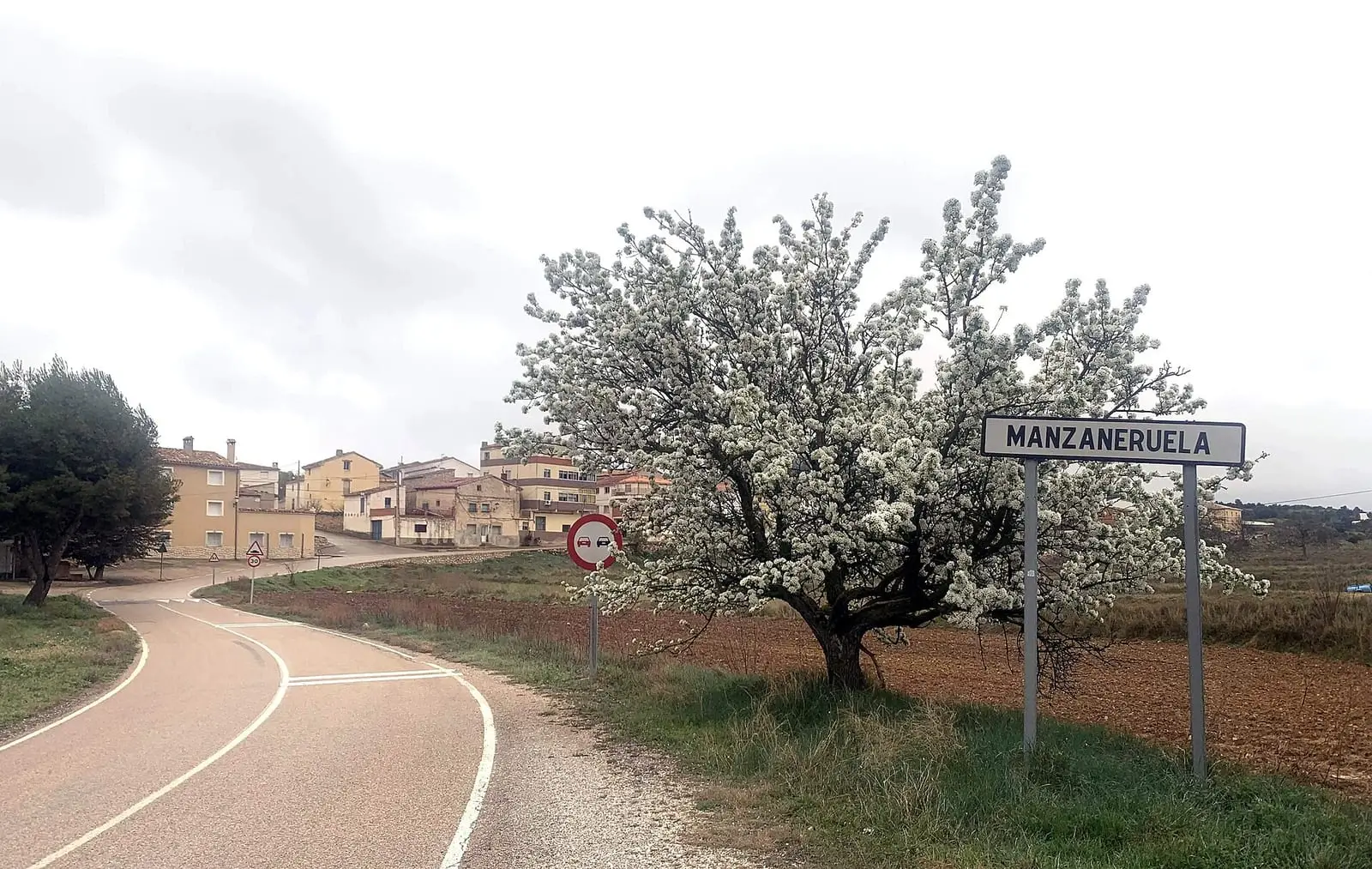
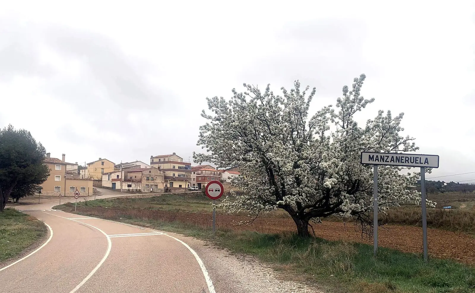
Manzaneruela
Manzaneruela is a hamlet in the municipality of Landete, in the Serranía Baja (lower Serranía). On 15 February 1947, the guerrilla groups led by «Capitán» and «Vargas», from the AGLA's 11th sector, arrived: around fifteen men who took food, clothing, weapons and money, distributed propaganda and burnt a consignment of flour and tobacco.
- Municipality
- Landete
- Manzaneruela
- Landete
- Guerrilla
- AGLA
- 1947
Manzaneruela is one of the hamlets of Landete, in the Land of Moya. During the guerrilla years, the surrounding hills were a transit area for the Agrupación Guerrillera de Levante y Aragón.
On 15 February 1947, the groups led by «Capitán» and «Vargas», from the 11th sector, entered the hamlet: around fifteen men. They took food, clothing, weapons and money, distributed propaganda and set fire to a consignment of flour and tobacco. This is one of that year’s actions reconstructed by the Universidad de Castilla-La Mancha; it has yet to be checked against the archives.
The full story: The guerrilla in the Serranía.
Combine with
The Guerrilla Interpretation Centre, in Santa Cruz de Moya, and the Cerro Moreno camp.

Frequently asked questions
What happened in Manzaneruela in 1947?
On 15 February around fifteen guerrillas from the groups led by «Capitán» and «Vargas» arrived. They took food, clothing, weapons and money, distributed propaganda and burnt a consignment of flour and tobacco. This reconstruction by the Universidad de Castilla-La Mancha has yet to be checked against the archives.
Carry on from here
Lands and landscapes
From here, follow the memory of the land
These readings connect Manzaneruela with the stories, the work and the villages around it.
Where it is
Where the data on this page come from
- Name
- Municipality (INE code)
«Source consulted»: the primary source has been read. «Reference located»: the source has been identified but not yet read. «Open question»: the figure needs confirmation.