Route · Zafrilla
PR-CU 113: Ruta cicloturista de Zafrilla
PR-CU 113, Ruta cicloturista de Zafrilla, is a difficult circular short-distance trail of 28 km with 648 m of elevation gain and over six hours on foot, intended chiefly for mountain bikes. It follows Estrecho de la Hoz and the Zafrilla river valley upstream, passes the Casa del Cura rento, an isolated farmstead in the hills, and climbs to Alto del Osos, above 1,700 m.
- Code
- PR-CU 113
- Distance
- 28 km
- Elevation gain
- 648 m
- Time
- 6.7 h
- Layout
- Circular
- Difficulty
- Demanding
Walking time without travel or stops. Difficulty as graded by the official source. «Easy» does not mean accessible.
- PR-CU 113
- Zafrilla
- Alto del Osos
- Mountain biking
Where to start
In Zafrilla, heading north.
The route
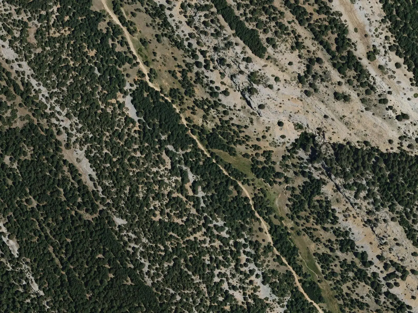
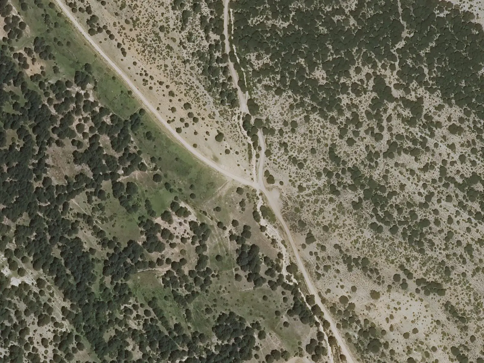
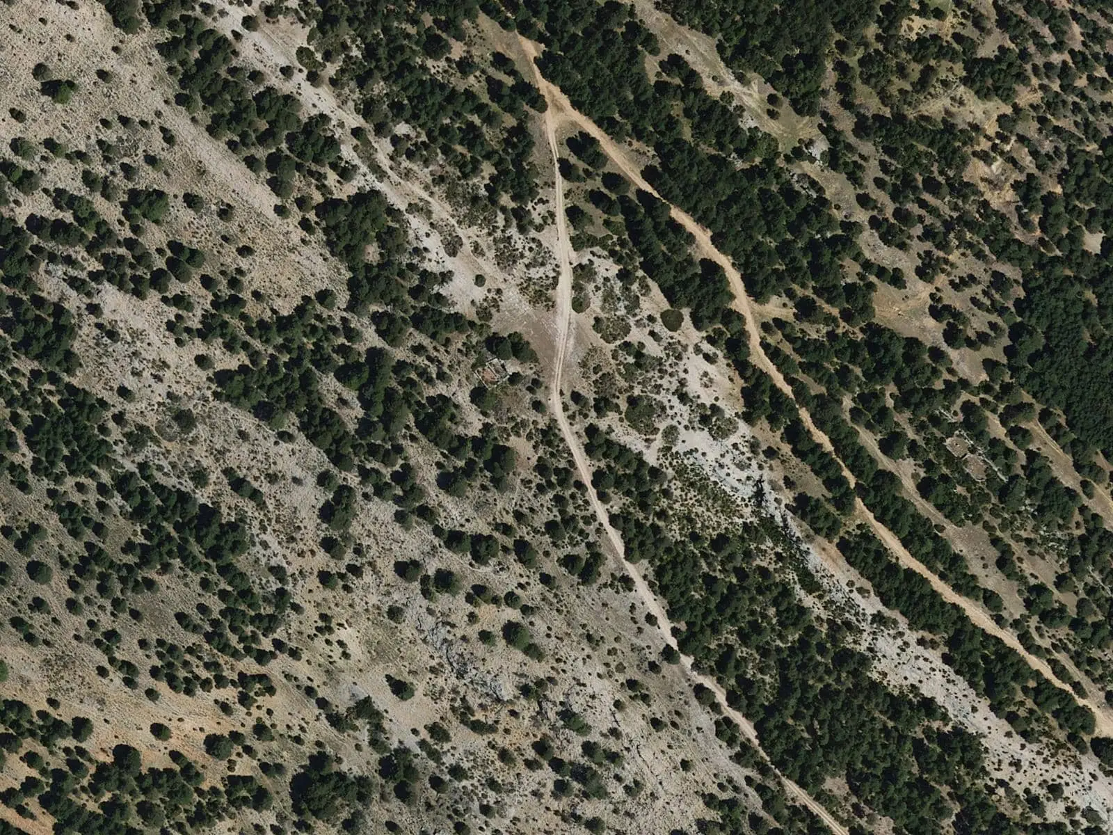
It follows Estrecho de la Hoz and the Zafrilla river valley upstream and, via Cañada de las Fuentes, crosses a saddle to the old rento of Casa del Cura, an isolated farmstead in the hills, a vast meadow with a shelter. It crosses another saddle into the Veredilla valley and finally climbs to Alto del Osos, above 1,700 m, with very broad views. A long descent returns to the village through a little-known part of the Serranía.
Higher up, the stony slopes have Spanish junipers and clumps of savin juniper; from the rim of Umbría del Oso there are views of Prado Redondo, Recloba and Tierras Viejas.
Difficulty and time
Circular, 28 km and 648 m of elevation gain, over 6 hours on foot according to Senderos de Cuenca. Rated difficult by Senderos de Cuenca and the regional government; the Park map gives moderate and the federation easy. Intended chiefly for mountain bikes.
Before you set out
At this altitude weather changes quickly: take water, warm clothing and a map.
Official route · Federación de Deportes de Montaña de Castilla-La Mancha y Diputación de Cuenca (Senderos de Cuenca) (PR-CU 113). Description, track and notices on the official route page (in Spanish). Before you set out, check there for changes or closures.
Frequently asked questions
What altitude does it reach?
Over 1,700 m.
Is it only for bikes?
It is intended mainly for mountain bikes, although it also suits long-distance walkers.
Carry on from here
Lands and landscapes
From here, follow the memory of the land
These readings connect Ruta cicloturista de Zafrilla with the stories, the work and the villages around it.
Where it is
● Villages · ● Places · ━ Simplified official route
Location sketch. The map with paths and names loads as you scroll to it.
Reference villages: Zafrilla · Laguna del Marquesado · Tejadillos · Huerta del Marquesado.
Open the full map and its historical layers →Where the data on this page come from
- Name
- Federación de Deportes de Montaña de Castilla-La Mancha (FDMCM) / Senderos de Cuenca source consulted, 4 October 2026
- FDMCM · Diputación Provincial de Cuenca source consulted, 4 October 2026
- Junta de Comunidades de Castilla-La Mancha — Parque Natural source consulted, 4 October 2026
- Federación de Deportes de Montaña de Castilla-La Mancha source consulted, 5 October 2026
- Municipality (INE code)
- Federación de Deportes de Montaña de Castilla-La Mancha (FDMCM) / Senderos de Cuenca source consulted, 4 October 2026
- FDMCM · Diputación Provincial de Cuenca source consulted, 4 October 2026
- Route data
- Federación de Deportes de Montaña de Castilla-La Mancha (FDMCM) / Senderos de Cuenca source consulted, 4 October 2026
- FDMCM · Diputación Provincial de Cuenca source consulted, 4 October 2026
- Junta de Comunidades de Castilla-La Mancha — Parque Natural source consulted, 4 October 2026
- Federación de Deportes de Montaña de Castilla-La Mancha source consulted, 5 October 2026
«Source consulted»: the primary source has been read. «Reference located»: the source has been identified but not yet read. «Open question»: the figure needs confirmation.