Village · Cuenca
Laguna del Marquesado
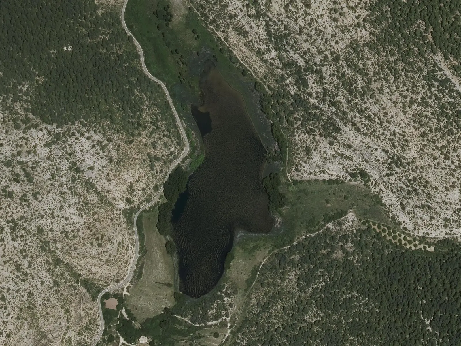
Laguna del Marquesado is a village in Serranía Alta (upper Serranía), which gives its name to a 373-hectare nature reserve: a karst lake dammed by a tufa barrier on the Soto stream, with protected aquatic vegetation. It had 424 inhabitants in 1930 and 54 in 2021. Two trails run around the lake.
On this page 9 sections
A village named after its lake
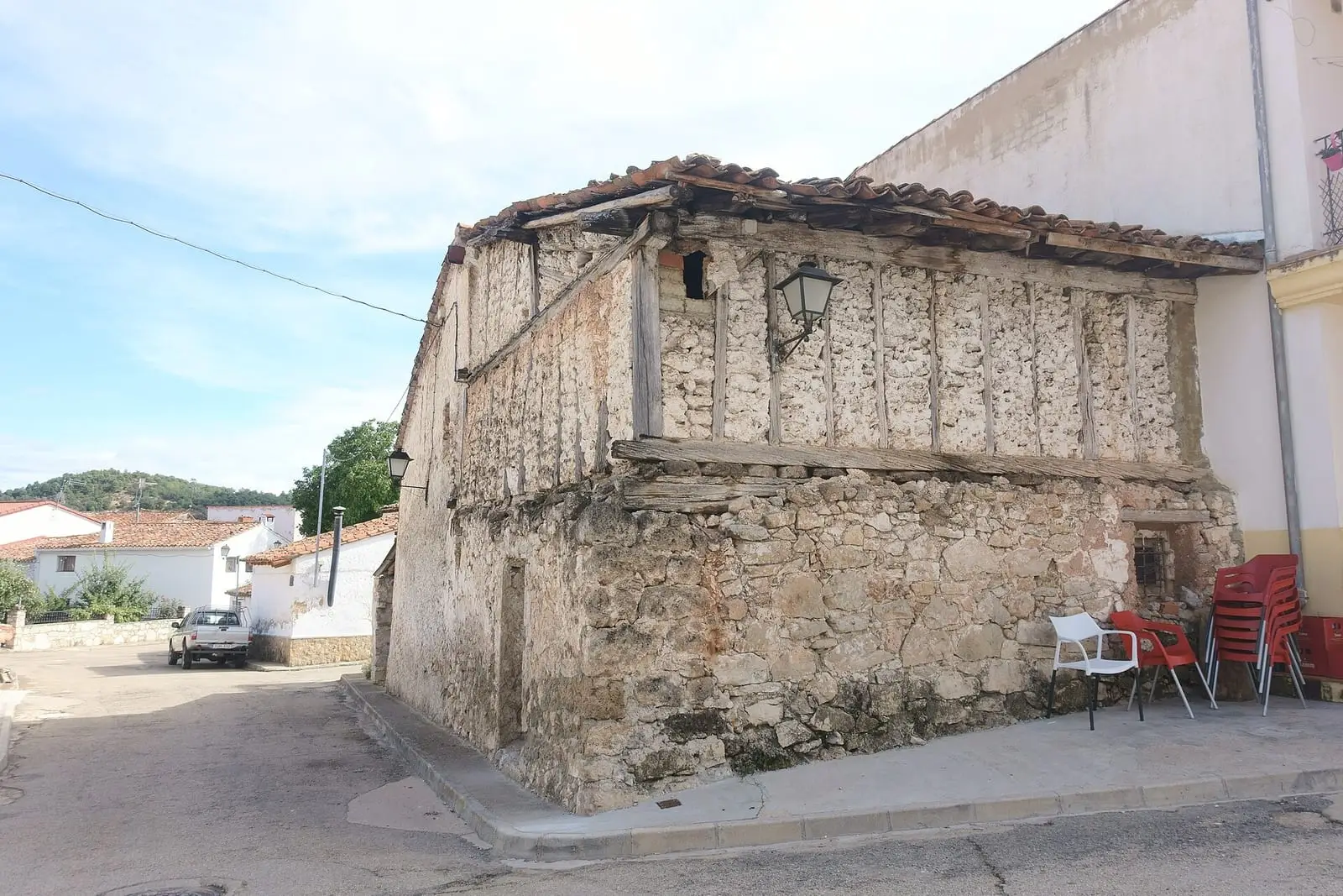
Laguna del Marquesado lies in Serranía Alta (upper Serranía), about 20 km from Cañete along the CM-2106. «Marquesado» (marquisate) comes from the lordship that organised these villages after resettlement. It is a cold area: cool in summer and very cold in winter. People lived from livestock, woodland and poor farming, with communal woods and shared grazing.
A lake enclosed by tufa
The Laguna del Marquesado formed when the lime-laden Soto stream built up a tufa barrier that blocked its channel and dammed the water. Its maximum depth is 5.5 metres, and downstream the stream drops over small waterfalls. It has been a nature reserve since 2004, covering 373 hectares. Beds of stoneworts and Sparganium natans grow in the water; riparian woodland lines the banks. Around it are vegetable gardens and terraces with walls of the same tufa.
In 1847, the village had two flour mills. The income from one of them, together with other municipal properties, covered the Town Council’s budget: 1,500 reales.
Routes
- The reserve’s interpretive trail: 5.5 km from the village entrance, where there is an information panel. It crosses the Laguna river on a footbridge and circles the lake.
- SL-CU 15 (local trail): 5 km. It follows the Soto stream, crosses it twice and climbs through pines, Portuguese oaks and maples to a viewpoint over the lake.
Plan your visit
Leave the car in the village and follow the trail on foot. You can visit all year round.
Before you travel
The lake is a nature reserve: view it from the trails, without stepping onto the banks or touching the plants. In winter, bring plenty of warm clothing.
Combine with
Huerta del Marquesado is 2 km away in a straight line, Zafrilla 4.8 km and Tejadillos 5 km.
Frequently asked questions
How did the lake form?
A barrier of tufa, the porous rock deposited by water, blocked the Soto stream and dammed the water. The regional government records a maximum depth of 5.5 metres.
Which trails go around it?
The regional government's interpretive trail (5.5 km, about 2.5 hours) and SL-CU 15 (5 km, 137 m of elevation gain). Both start in the village and cross the stream on wooden footbridges.
How many inhabitants does it have?
54 in the 2021 census. Its peak was 424 in 1930, according to the INE.
Carry on from here
The rivers, zones, eras, places and official routes that the atlas links with Laguna del Marquesado.
Lands and landscapes
From here, follow the memory of the land
These readings connect Laguna del Marquesado with the stories, the work and the villages around it.
Places in the municipality and around it
Official routes
Near Laguna del Marquesado
Paisaje Ilustrado of Huerta del Marquesado
Huerta del Marquesado
Prao de San Roque picnic area
Huerta del Marquesado
Fuente del Royo picnic area
Huerta del MarquesadoSee 5 more

Fuente de la Ardilla picnic area
ValdemecaPaisaje Ilustrado of Valdemeca
Valdemeca
Valdemeca Visitor Reception Centre
Valdemeca
Centenar viewpoint
Valdemeca
Beamud viewpoint
BeamudPopulation of Laguna del Marquesado, 1842–2021
Laguna del Marquesado reached 424 inhabitants in 1930. The 2021 census counted 54, 87 % fewer. It is the story told in the emptying.
Climate in Laguna del Marquesado month by month
Averages for the ten years from 2015 to 2024 from the ERA5 reanalysis (Copernicus), for a grid cell with a reference altitude of 1325 m. They are model estimates, not measurements from a local station or thirty-year climate normals.
Source: Copernicus ERA5 via Open-Meteo, CC BY 4.0. Retrieved: 2026-10-09.
Location
● Reference point · ● Villages · ● Places · ━ Routes nearby
Location sketch. The map with paths and names loads as you scroll to it.
Approximate position: village centre.
Reference villages: Huerta del Marquesado · Zafrilla · Tejadillos · Valdemeca.
Open the full map and its historical layers →Where the data on this page come from
- Location
- IGN: Nomenclátor Geográfico Básico de España, capital de municipio (CC BY 4.0) source consulted, 9 October 2026
«Source consulted»: the primary source has been read. «Reference located»: the source has been identified but not yet read. «Open question»: the figure needs confirmation.
More about Laguna del Marquesado, told from the village: the Laguna del Marquesado Town Council website.