Village · Cuenca · 1,257 m
Huerta del Marquesado
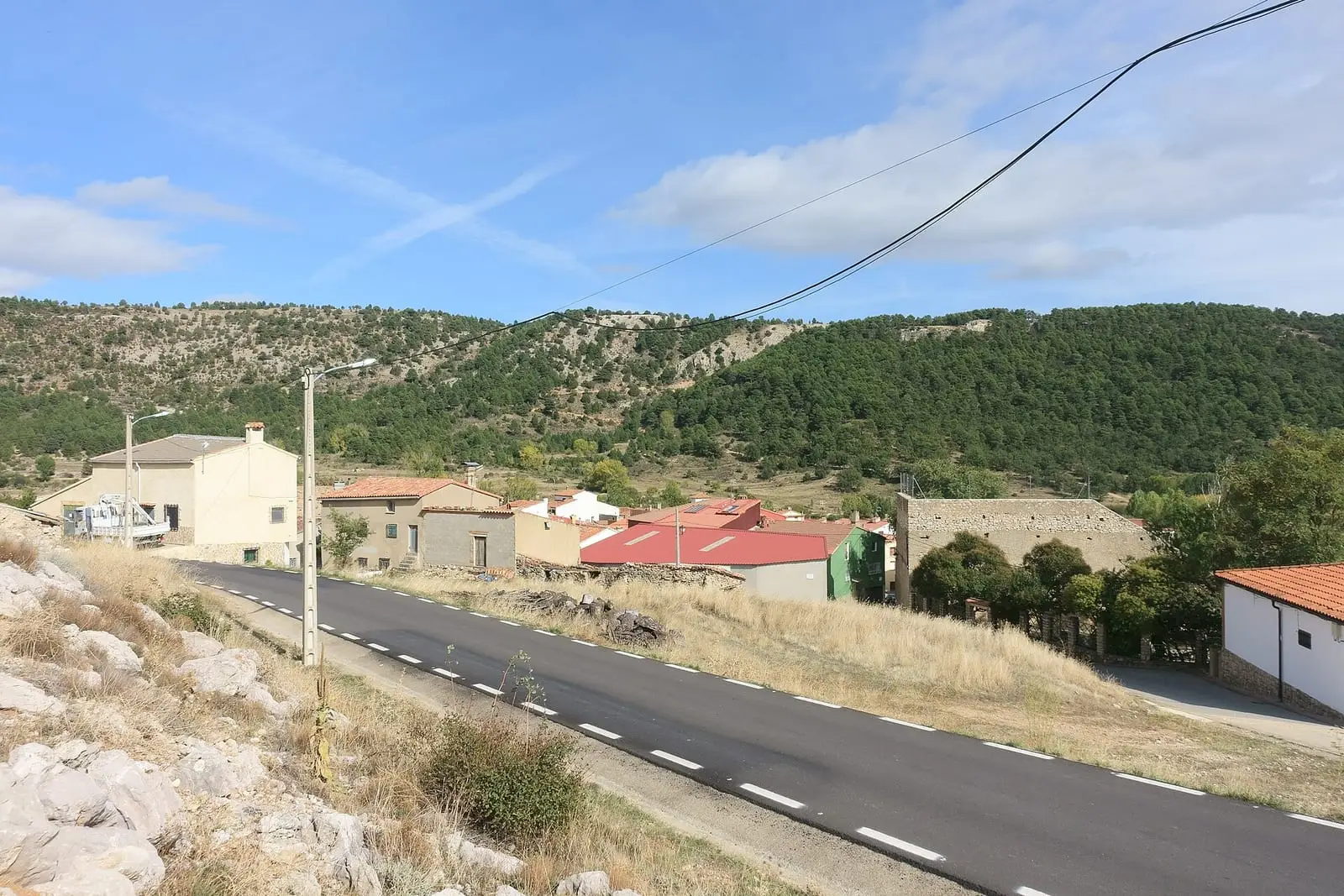
Huerta del Marquesado is a village in the Serranía Alta (upper Serranía) of Cuenca, beside the River Laguna, within the Natural Park and the Valle del Cabriel Biosphere Reserve. Its municipality contains a Celtiberian hillfort excavated since 2021, Cerrito del Moro, and the Cueva de la Mora, with Copper Age human remains. It had 460 inhabitants in 1950 and 186 in 2021.
On this page 11 sections
A village in the River Laguna valley
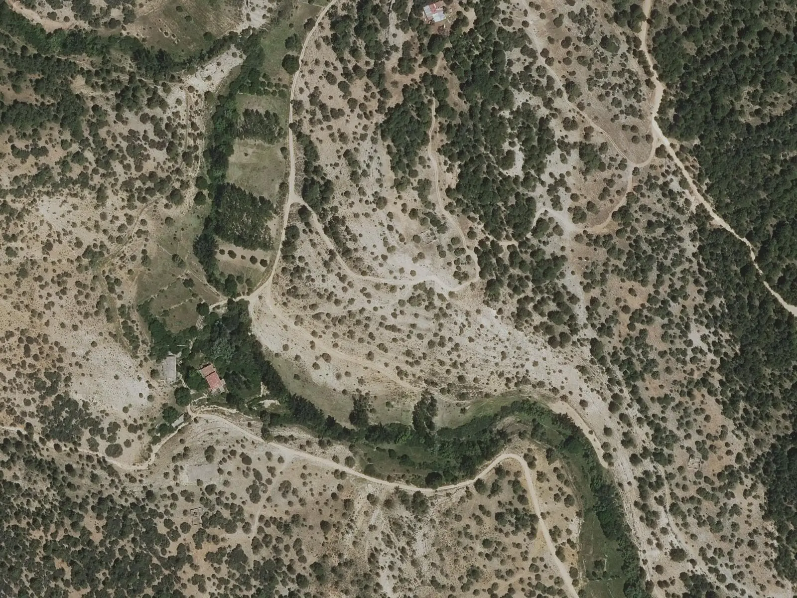
Huerta del Marquesado lies in the Serranía Alta beside the River Laguna, with part of its municipality in the Natural Park and Valle del Cabriel Biosphere Reserve. It is a village of water, gardens and livestock. Wool and hemp supported a textile trade, and the Molino del Batán fulled cloth from at least the 16th century.
A hillfort and cave under excavation
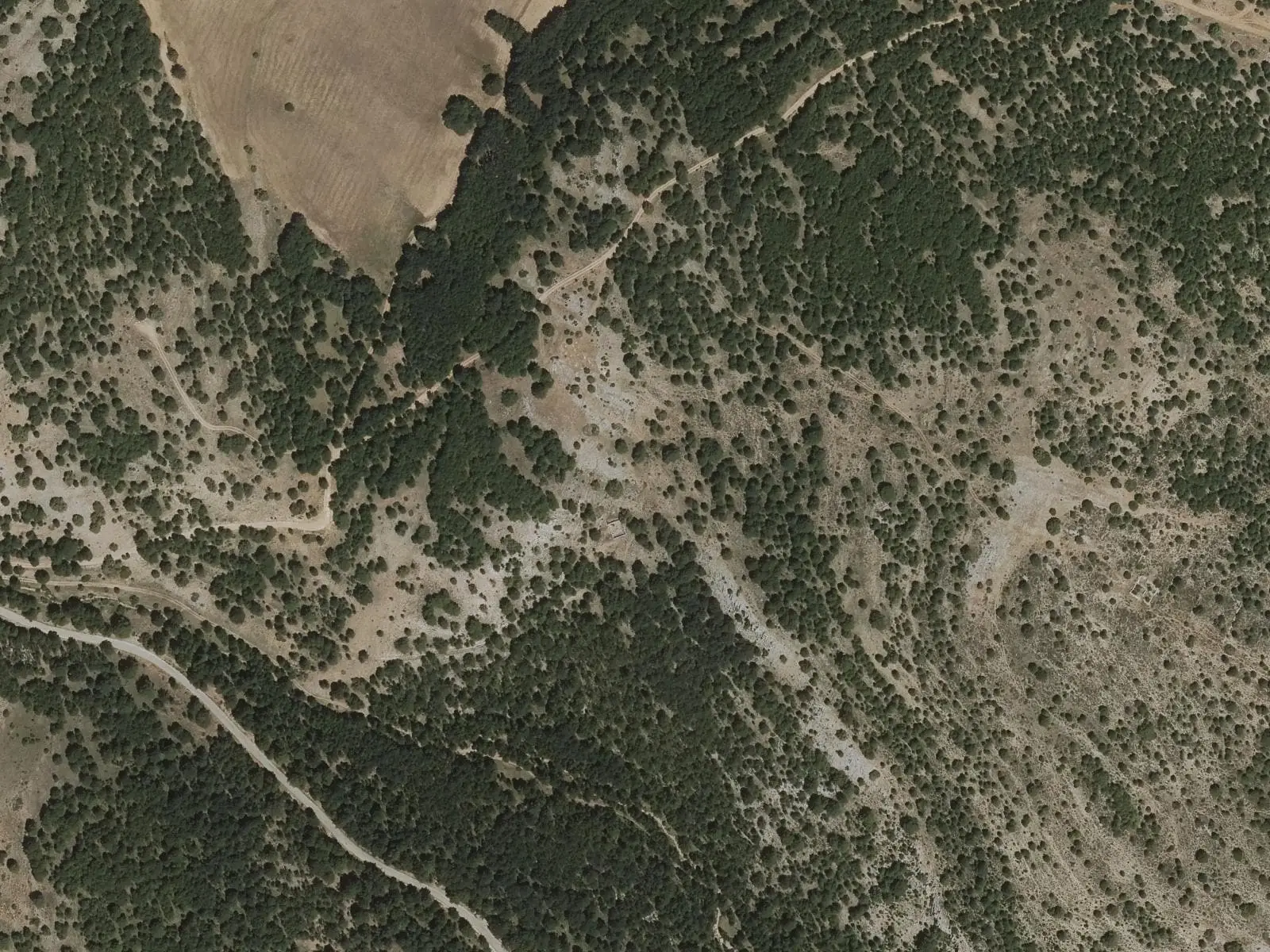
Beside the village on Alto del Bujedal is Cerrito del Moro, a walled Celtiberian hillfort excavated since 2021. It has revealed about 20 metres of wall and a gate, and in 2023 a Copper Age slate plaque idol, the first known in the province.
The Cueva de la Mora is a small cavity with occupation from the Palaeolithic. It has unevenly burnt human remains, two dated between 2400 and 2200 BC.
The Marcha Blume
On 29 April 1959 an aircraft crashed at Collado Bajo, killing all 25 passengers and 3 crew (the town council gives 58 dead), among them gymnast Joaquín Blume. A monolith commemorates them there. Since 2006 the village has climbed on a walk honouring all the victims, about seventeen kilometres, with an offering at the monolith and return to the village; in 2022 it was the fifteenth and about four hundred people were expected. The walk is not an approved trail.
Around Huerta del Marquesado
- Las Fuentes area, where springs flow into the River Laguna.
- Paisaje Ilustrado and Piedra de San Roque.
- Prao de San Roque picnic area and Fuente del Royo.
In 2021 Huerta del Marquesado’s pine forests were among sites where Go-Resinlab tested a new resin-tapping method: a shallow drill hole instead of traditional cutting and a sealed bag instead of an open pot. It was a trial; results were not published.
There are named trees too: the Pino del Telégrafo, a Scots pine about three metres in girth and twelve high, and the Enebro de la Fuente del Pino, almost two metres in girth, enormous for a tree growing so slowly in such cold.
Routes
The PR-CU 38, Sendero de los Arroyos, a short-distance trail, is 11 km along the irrigation channel, Las Fuentes and a limestone gorge, among lime kilns, pens, salegas (salt-licking stones for livestock) and abandoned bridle paths. The PR-CU 39, Sendero de la Vega is a 7.7 km circuit through La Herrería and the Covatillas dehesa to Fuente del Royo.
Plan your visit
The village, fulling mill and PR-CU 39 fill a morning.
Before you travel
The hillfort and cave are sites under excavation: do not visit independently or collect anything. Ask the town council about campaigns. In winter the PR-CU 38 gorge may freeze.
Combine with
Laguna del Marquesado is 2 km away as the crow flies and Tejadillos 5.
Frequently asked questions
What is Cerrito del Moro?
A walled and terraced Celtiberian hillfort under excavation since 2021. The enclosure is estimated at about 3,800 m² in the 2022 report and about 1.5 hectares in a 2024 news item, an unreconciled difference in scope.
What has been found in the Cueva de la Mora?
Remains from the Palaeolithic to historical times and, in the 2022 campaign, a group with Neolithic or Copper Age pottery, Bronze Age pottery, abundant human fragments and fauna with burning and cutting marks. Two radiocarbon dates from human vertebrae give 2400-2200 BC.
Which trails start from the village?
PR-CU 38, Sendero de los Arroyos (11 km), and PR-CU 39, Sendero de la Vega (7.7 km, circular).
Carry on from here
The rivers, zones, eras, places and official routes that the atlas links with Huerta del Marquesado.
Lands and landscapes
From here, follow the memory of the land
These readings connect Huerta del Marquesado with the stories, the work and the villages around it.
Traces in the village and around it
Which eras you can read here
A single place can keep traces of several periods. These layers connect what you see with the atlas's stories.
Places in the municipality and around it

Fuente del Royo picnic area
Huerta del Marquesado
Prao de San Roque picnic area
Huerta del Marquesado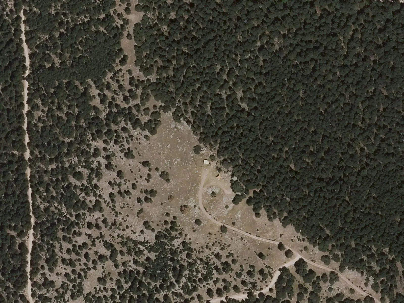
Collado Bajo (Sierra de Valdemeca)
Huerta del MarquesadoCerrito del Moro
Huerta del MarquesadoCueva de la Mora
Huerta del MarquesadoMolino del Batán, Huerta del Marquesado
Huerta del MarquesadoOfficial routes
Near Huerta del Marquesado

Fuente de la Ardilla picnic area
ValdemecaPaisaje Ilustrado of Valdemeca
Valdemeca
Valdemeca Visitor Reception Centre
ValdemecaSee 5 more
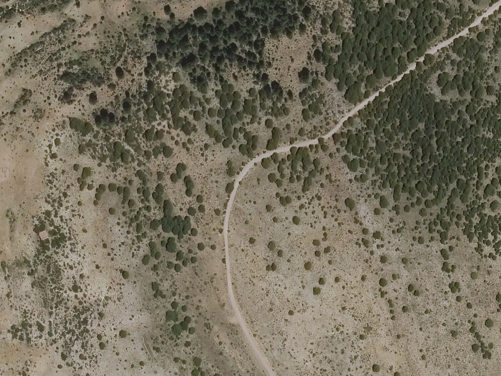
Centenar viewpoint
Valdemeca
Beamud viewpoint
Beamud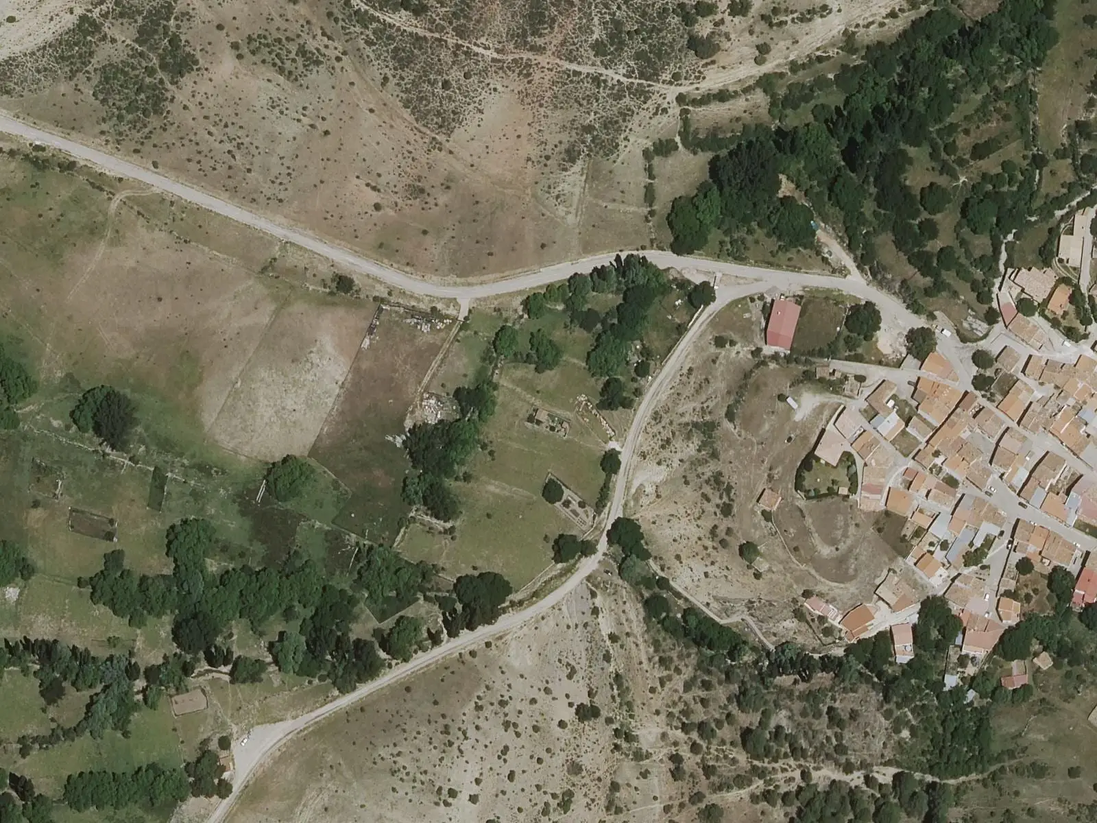
Fuente de los Pastores picnic area
Beamud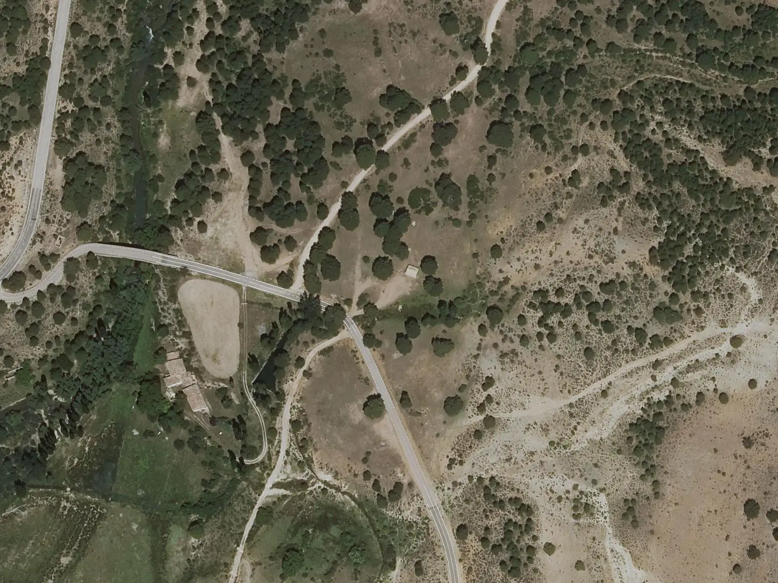
Molino de Juan Romero picnic area
Cuenca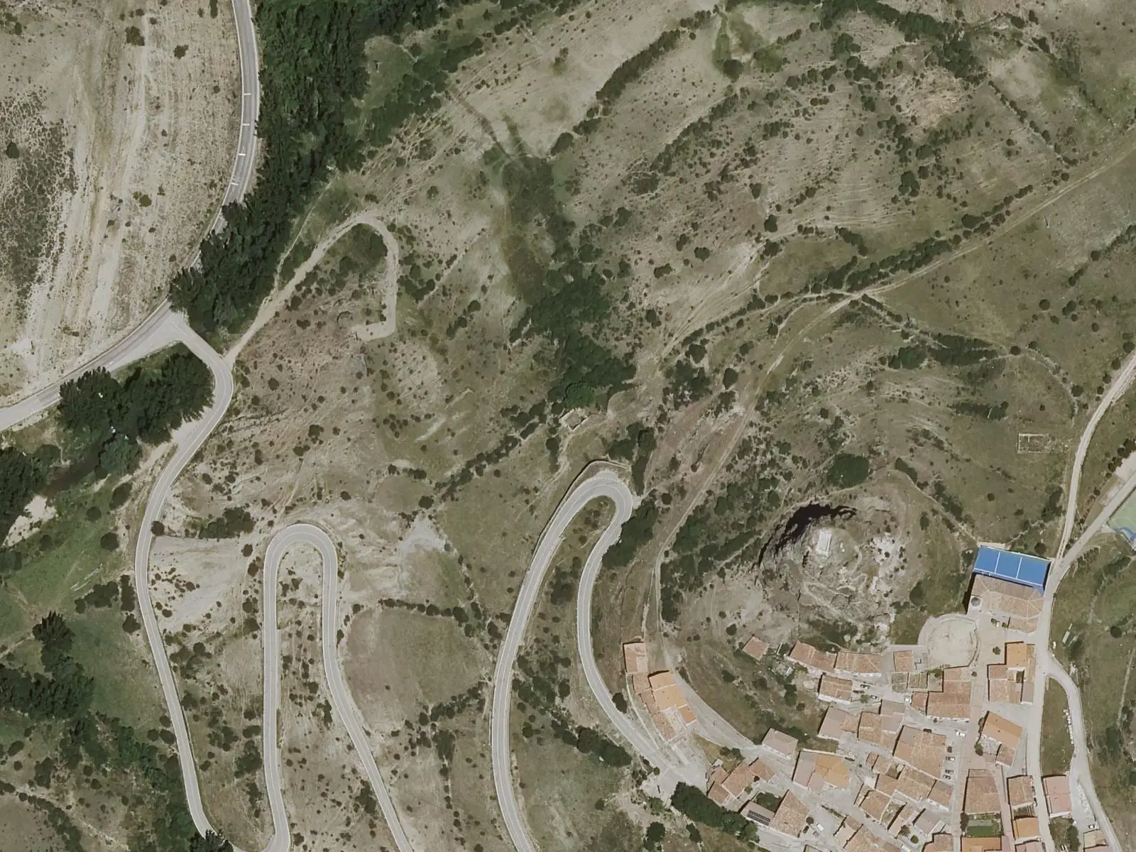
Huélamo castle
HuélamoPopulation of Huerta del Marquesado, 1842–2021
Huerta del Marquesado reached 460 inhabitants in 1950. The 2021 census counted 186, 60 % fewer. It is the story told in the emptying.
Climate in Huerta del Marquesado month by month
Averages for the ten years from 2015 to 2024 from the ERA5 reanalysis (Copernicus), for a grid cell with a reference altitude of 1314 m. They are model estimates, not measurements from a local station or thirty-year climate normals.
Source: Copernicus ERA5 via Open-Meteo, CC BY 4.0. Retrieved: 2026-10-09.
Location
● Reference point · ● Villages · ● Places · ━ Routes nearby
Location sketch. The map with paths and names loads as you scroll to it.
Approximate position: village centre.
Reference villages: Laguna del Marquesado · Tejadillos · Zafrilla · Campillos-Sierra.
Open the full map and its historical layers →Where the data on this page come from
- Name
- IGN, Equipamiento Geográfico de Referencia Nacional: nombre oficial y código INE source consulted, 5 October 2026
- Ayuntamiento de Huerta del Marquesado source consulted, 5 October 2026
- Municipality (INE code)
- IGN, Equipamiento Geográfico de Referencia Nacional: nombre oficial y código INE source consulted, 5 October 2026
- Ayuntamiento de Huerta del Marquesado source consulted, 5 October 2026
- Protected areas
- Ley 5/2007, de 8 de marzo, de Declaración del Parque Natural de la Serranía de Cuenca (DOCM) reference located, 5 October 2026
- Junta de Castilla-La Mancha, Educación Ambiental: ficha técnica de la exposición «Serranía de Cuenca» reference located, 5 October 2026
- MITECO, Programa MaB: Reserva de la Biosfera Valle del Cabriel reference located, 5 October 2026
- Location
- Ayuntamiento de Huerta del Marquesado source consulted, 5 October 2026
- Altitude
- Ayuntamiento de Huerta del Marquesado source consulted, 5 October 2026
«Source consulted»: the primary source has been read. «Reference located»: the source has been identified but not yet read. «Open question»: the figure needs confirmation.
More about Huerta del Marquesado, told from the village: Huerta del Marquesado Town Council website.