Zone of the Serranía
Serranía Alta
The Serranía Alta (upper Serranía) is the part of the Serranía de Cuenca where the Júcar, Cuervo, Escabas and Guadiela rise. It comprises 19 municipalities among pine forests, gorges, torcas and lakes, much of it within the Natural Park. Its population fell from 9,717 in 1950 to 2,183 in 2021, and its memory includes river timber drivers, iron mining and villages that emptied.
Where the rivers rise
The Serranía Alta is the highest and coldest part of the mountains, and its rivers rise here. The Júcar emerges beside Tragacete, below Cerro de San Felipe; the Cuervo emerges in Vega del Codorno through a 300-metre tufa barrier; the Escabas comes down from the mountains of Tragacete, and the Guadiela opens the Hoz de Beteta beside Beteta.
Between these rivers, limestone and pine forest hold very different waters and rocks: the tufa lake of Laguna del Marquesado, the torcas, collapse sinkholes, of Lagunaseca, the labyrinth of Los Callejones in Las Majadas, the gorges of Cañizares and Carrascosa, and the rodeno, red sandstone, and mushrooms of Valdemeca. Zafrilla stands above 1,400 metres.
What memory tells
- A river of logs. For centuries the mountain pines went down the Escabas and Guadiela to the Tagus and Aranjuez. The gancheros of the Escabas and Guadiela.
- Iron from the mountains. Cueva del Hierro lived from a mine worked from Roman times until the 20th century.
- Salt and the dehesa. Valsalobre, with 21 inhabitants in 2021, preserves the mountains’ best-told oral memory. The Valsalobre saltworks.
- Those who left. The 19 municipalities totalled 9,717 inhabitants in 1950 and 2,183 in 2021, 77% fewer. Depopulation.
Exploring the area
Much of the area lies within the Serranía de Cuenca Natural Park, with visitor centres in Tragacete and Valdemeca.
Municipalities
The atlas municipalities in the Serranía Alta.
Its 19 villages: Beteta · Cañizares · Carrascosa · Cueva del Hierro · El Pozuelo · Fuertescusa · Huélamo · Huerta del Marquesado · Laguna del Marquesado · Lagunaseca · Las Majadas · Masegosa · Poyatos · Santa María del Val · Tragacete · Valdemeca · Valsalobre · Vega del Codorno · Zafrilla.
Those with the most places in the atlas
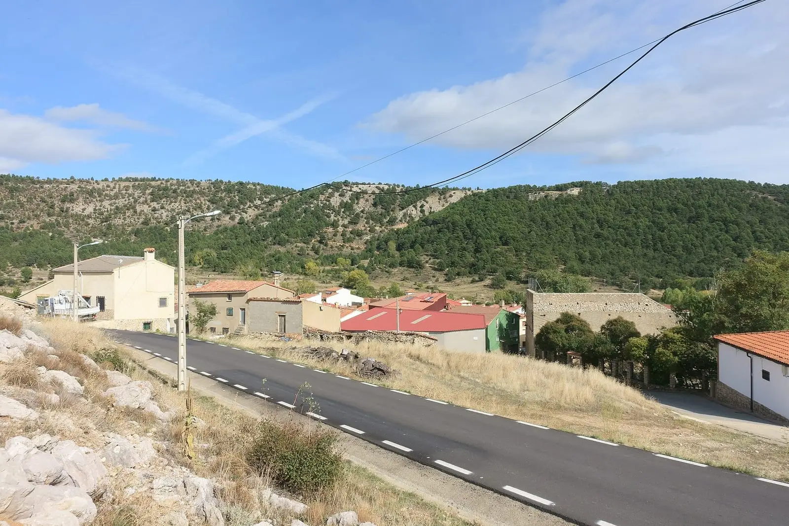
Huerta del Marquesado
Cuenca · 11 places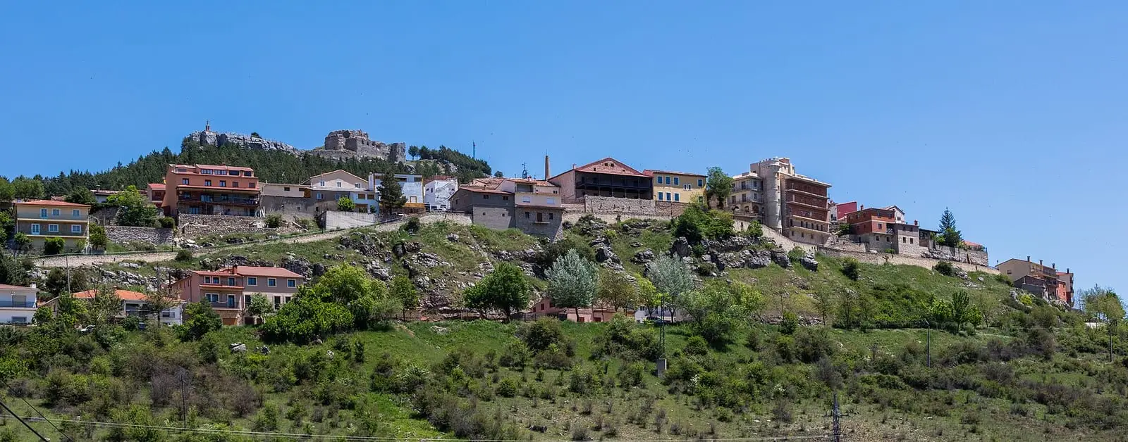
Beteta
Cuenca · 10 places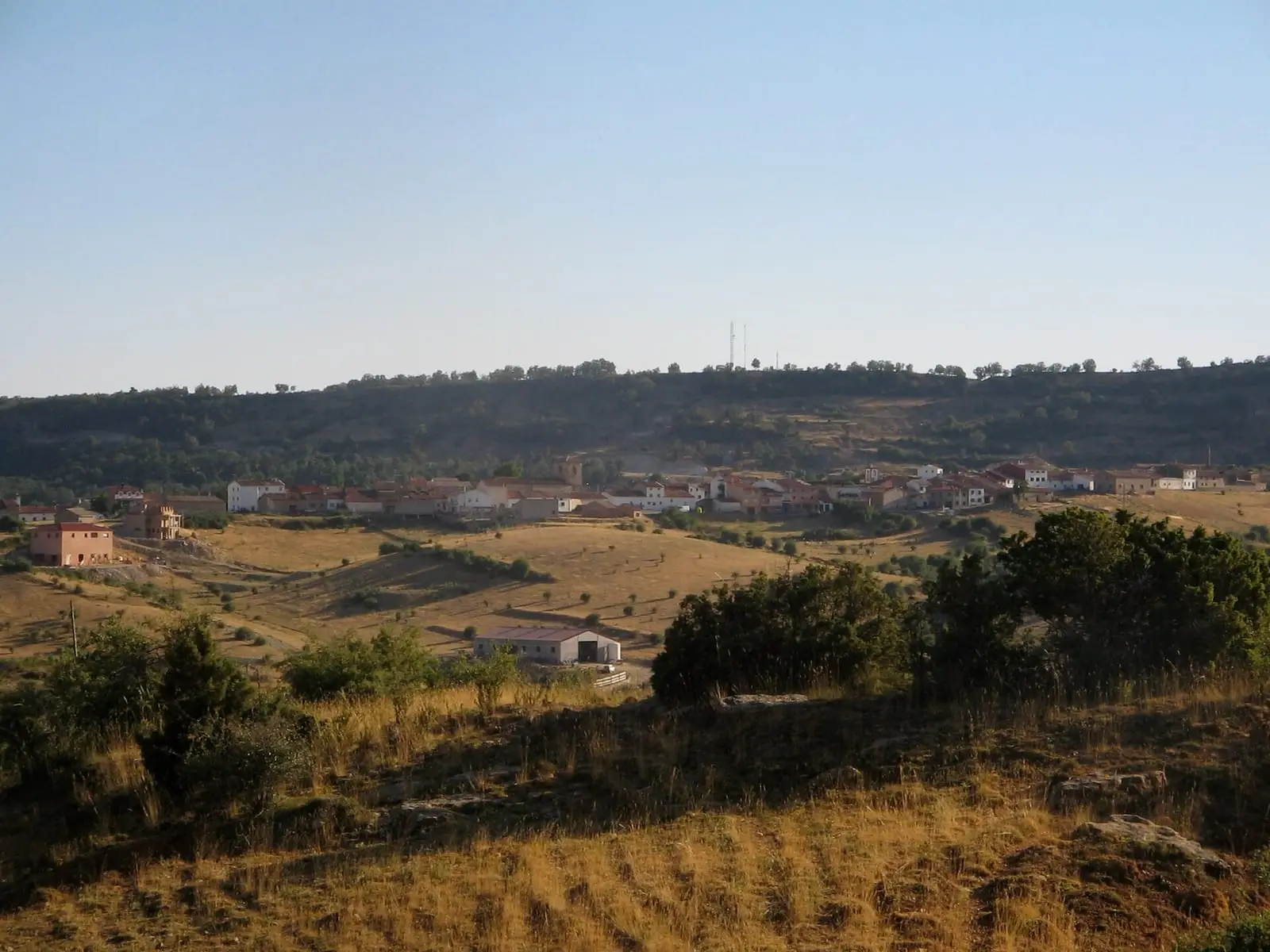
Las Majadas
Cuenca · 9 places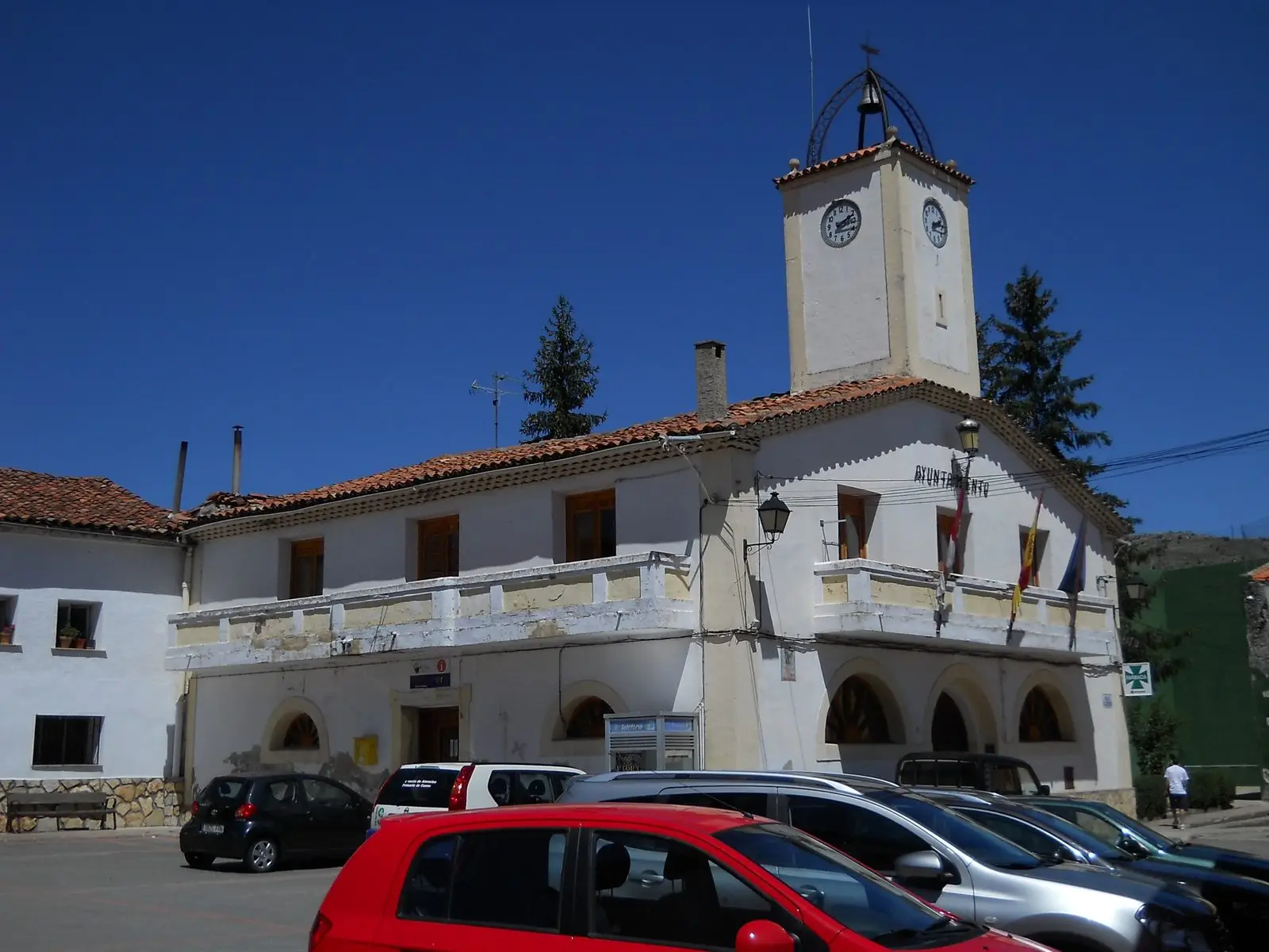
Tragacete
Cuenca · 6 places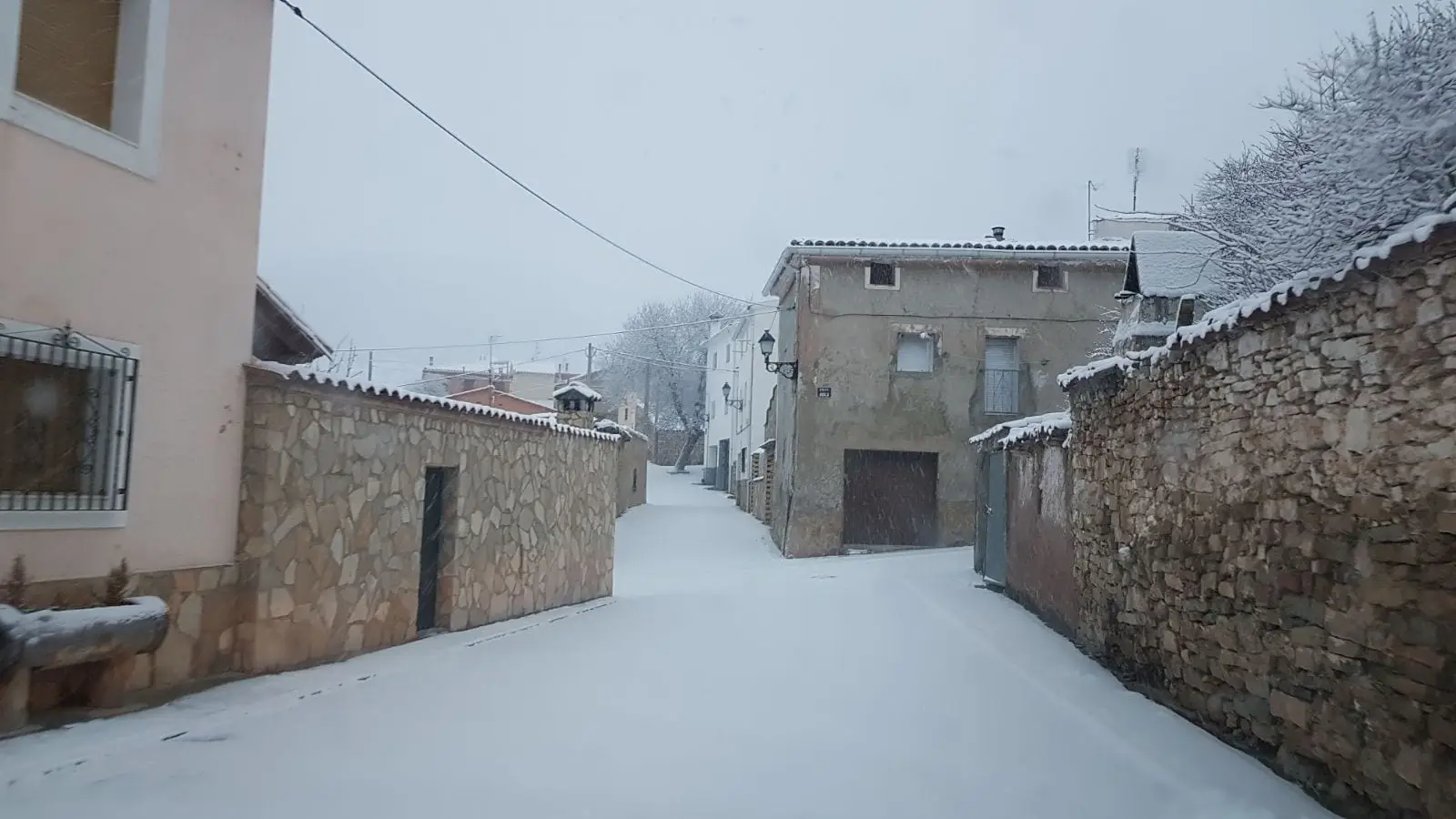
Valdemeca
Cuenca · 6 places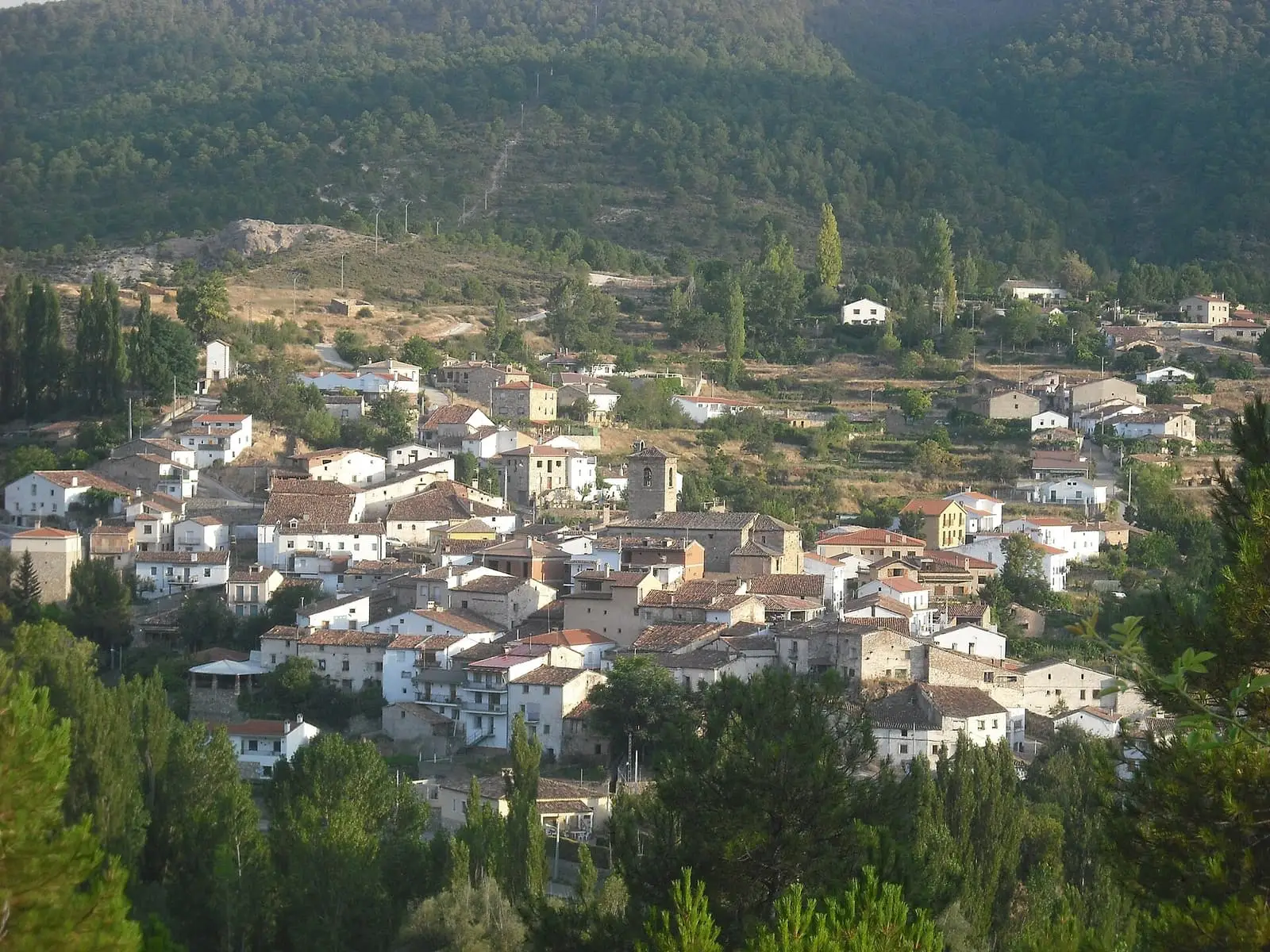
Fuertescusa
Cuenca · 5 placesSee all 19 villages
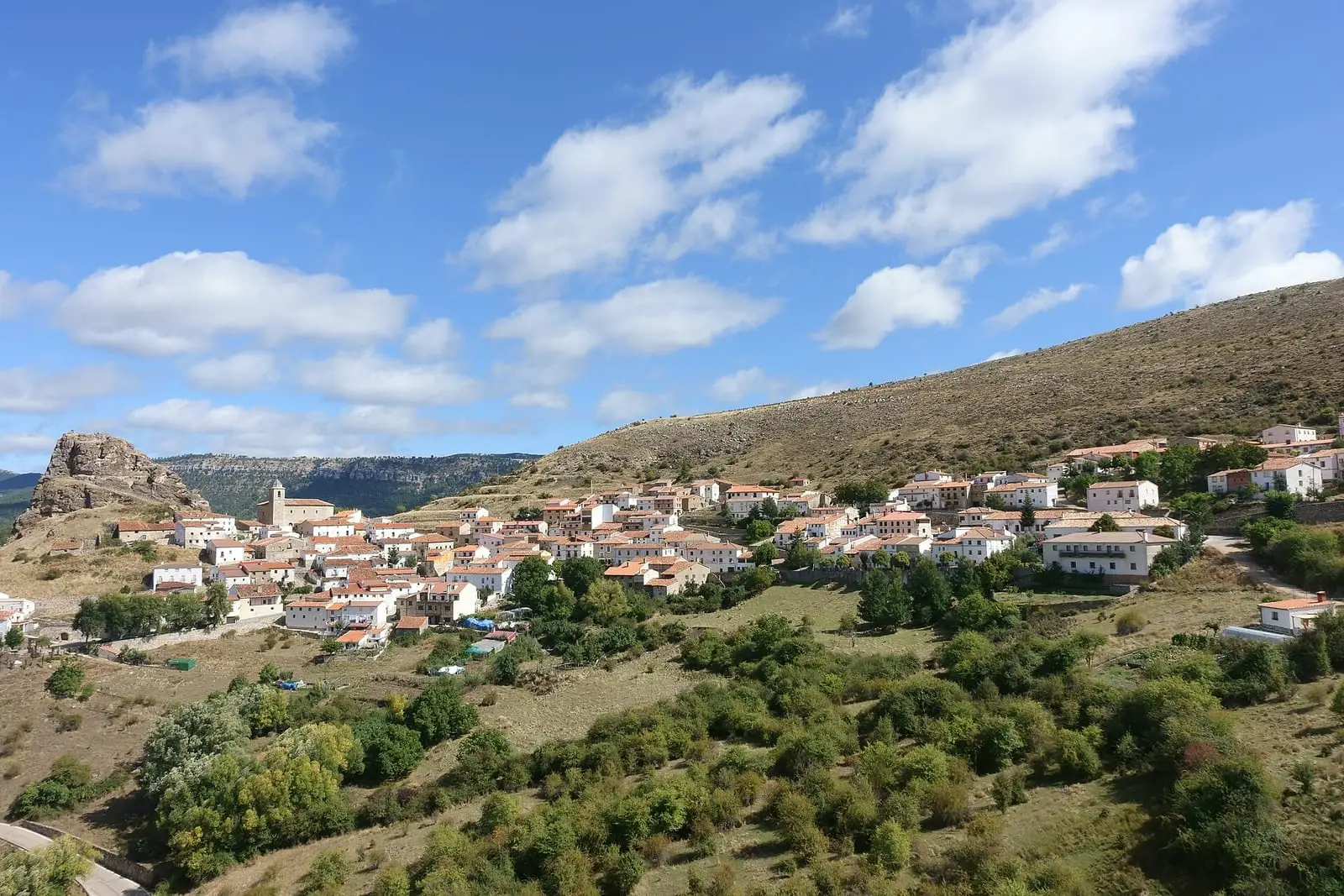
Huélamo
Cuenca · 5 places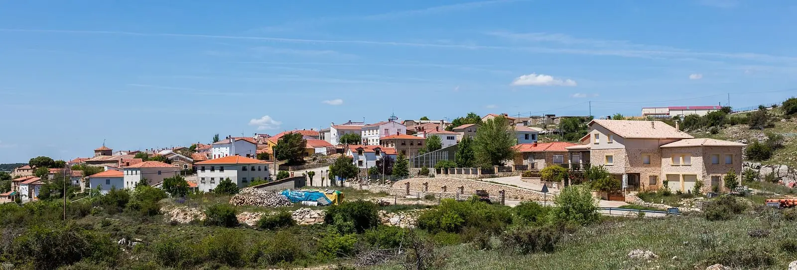
Carrascosa
Cuenca · 4 places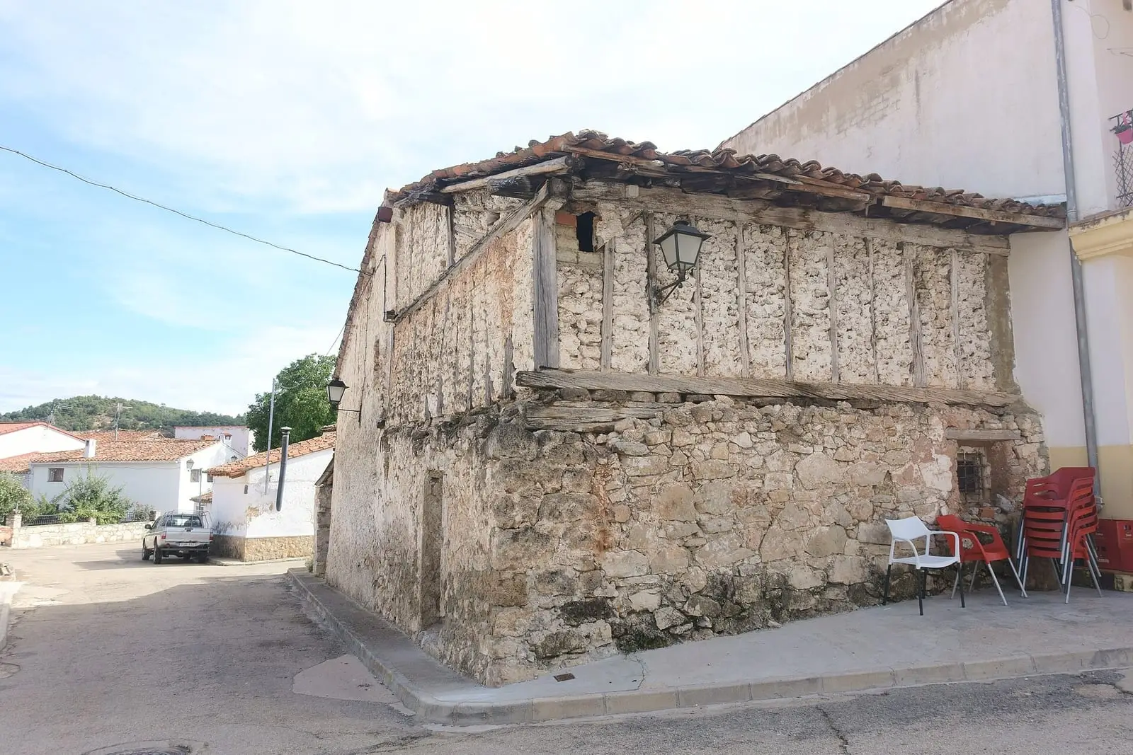
Laguna del Marquesado
Cuenca · 3 places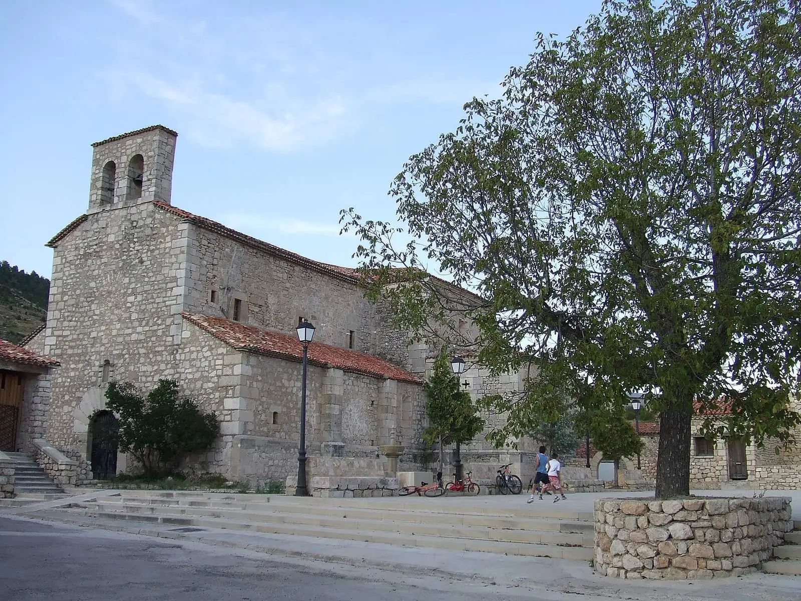
Poyatos
Cuenca · 3 places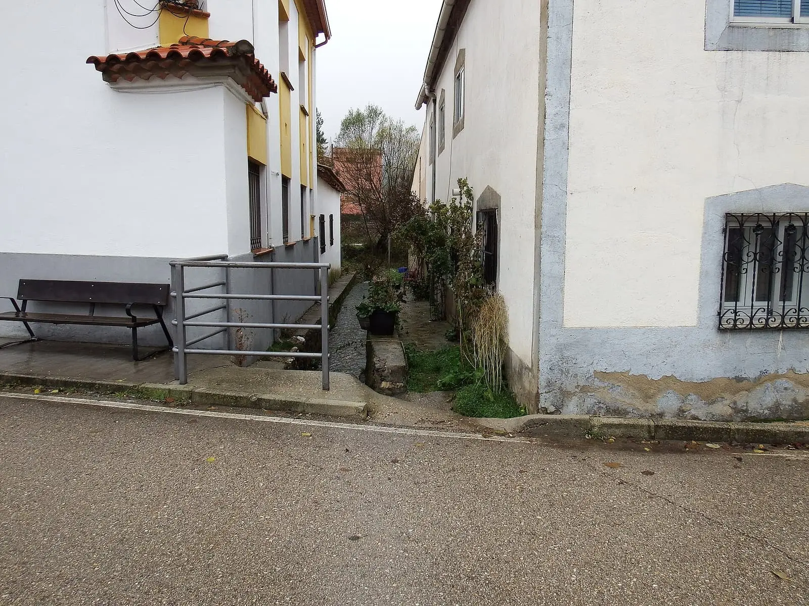
Vega del Codorno
Cuenca · 3 places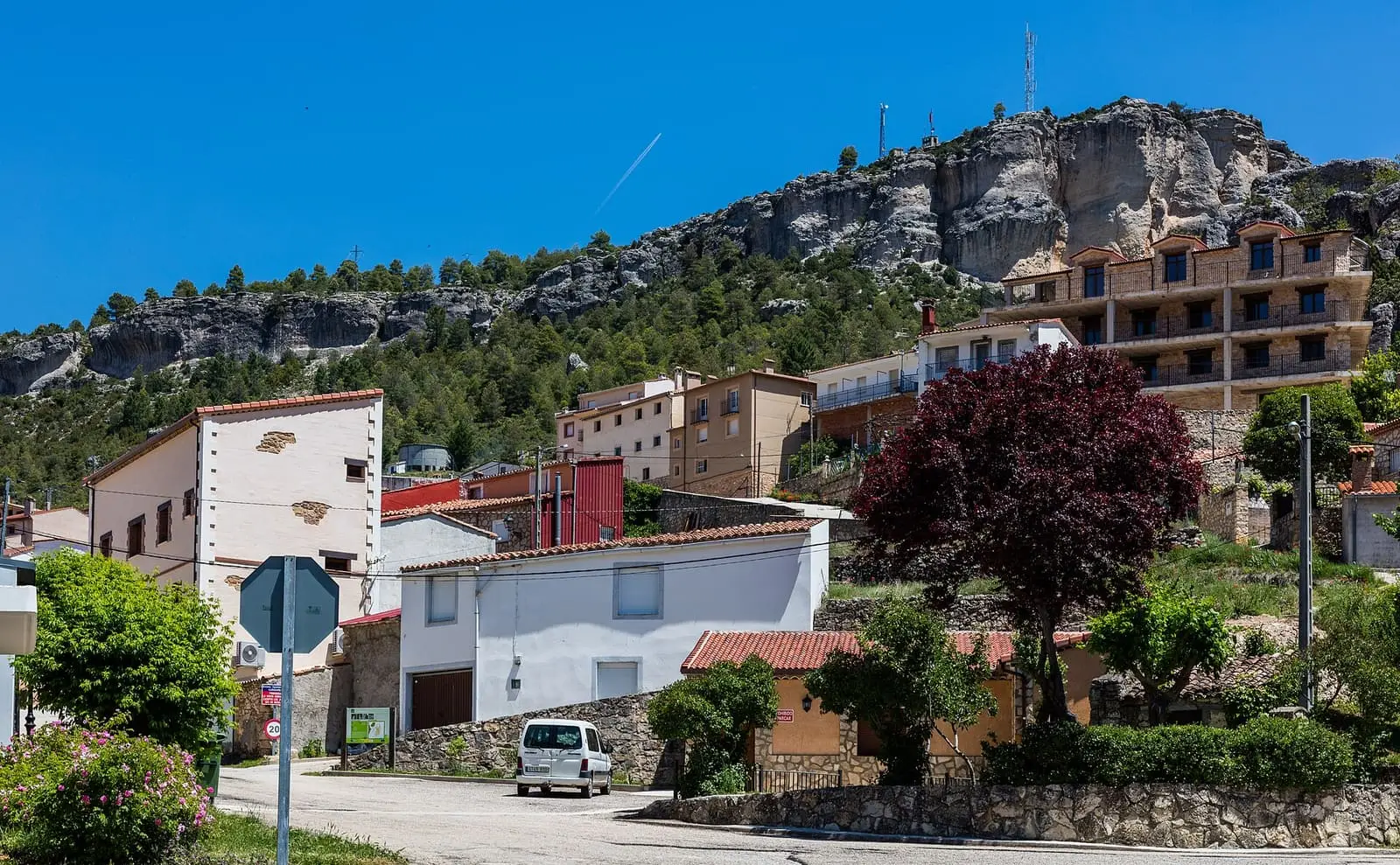
Cañizares
Cuenca · 2 places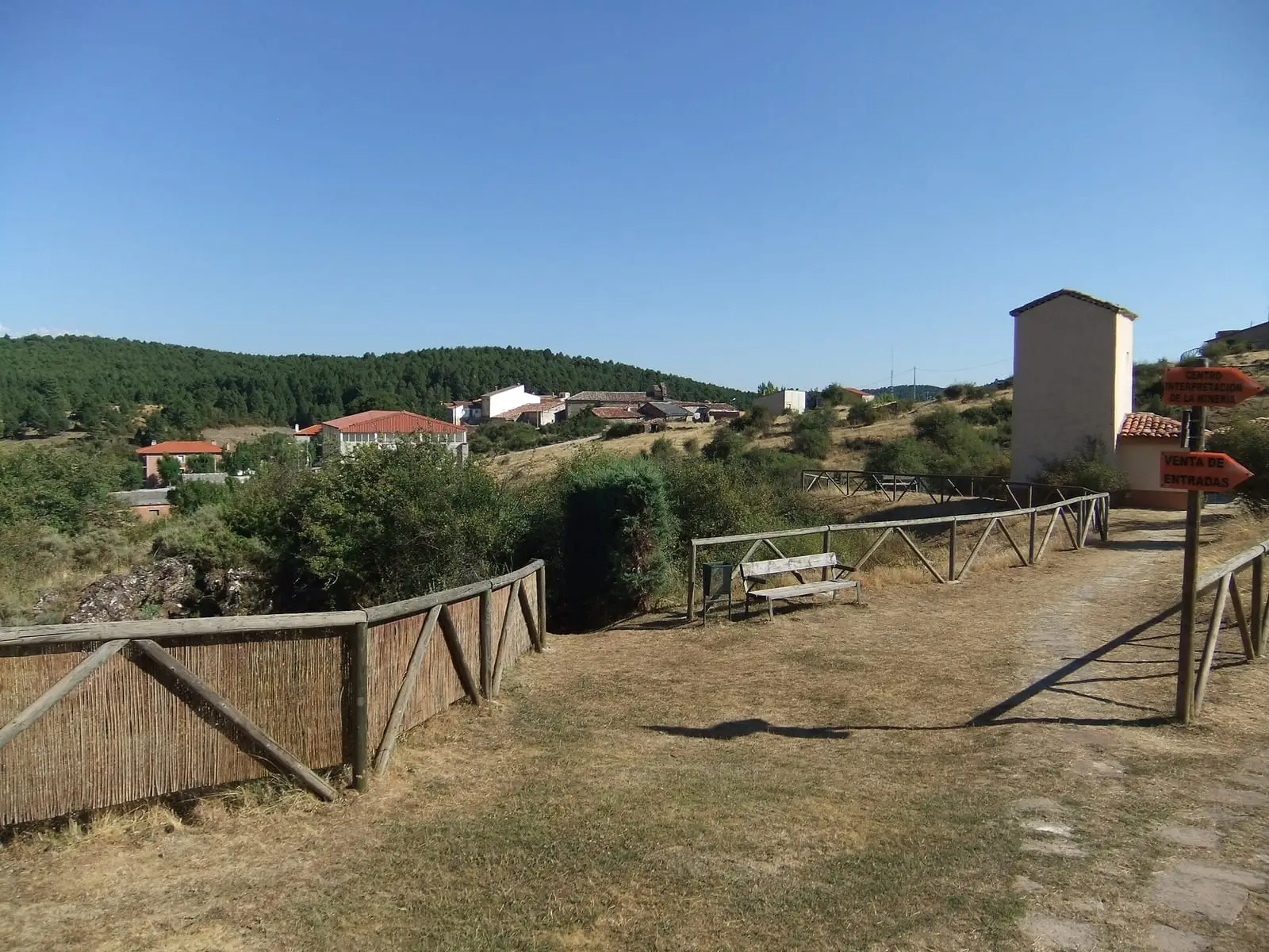
Cueva del Hierro
Cuenca · 2 places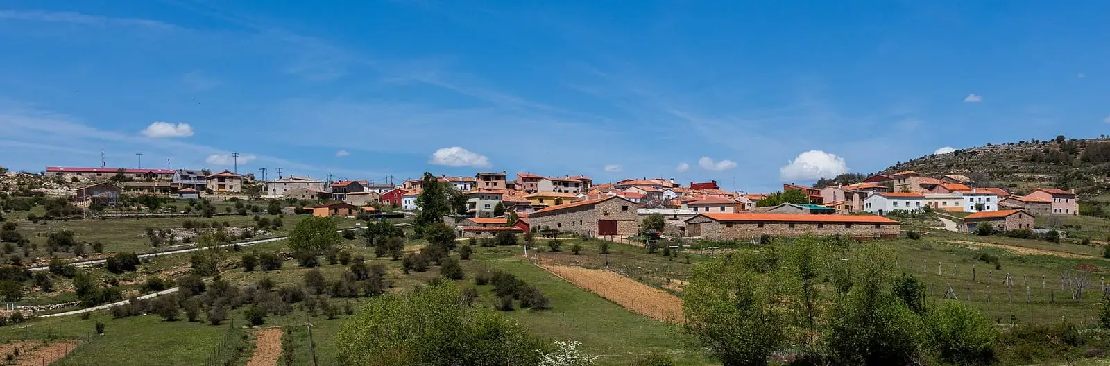
Lagunaseca
Cuenca · 2 places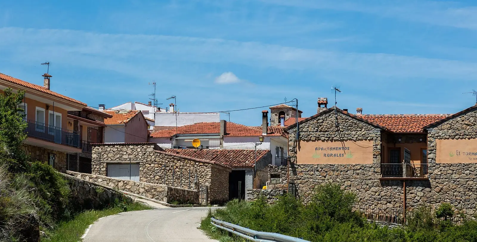
Masegosa
Cuenca · 2 places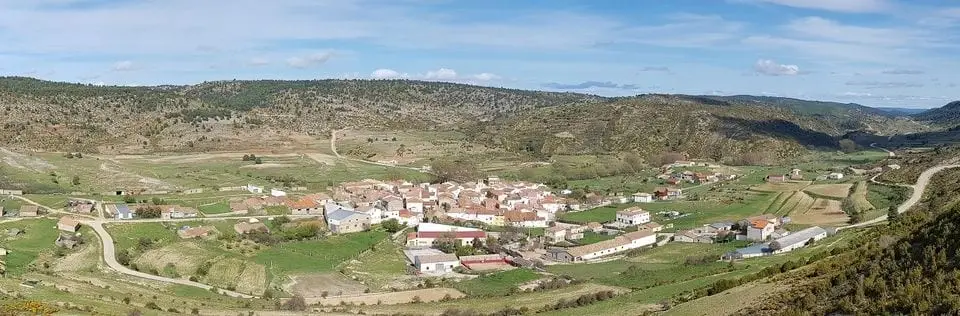
Zafrilla
Cuenca · 2 places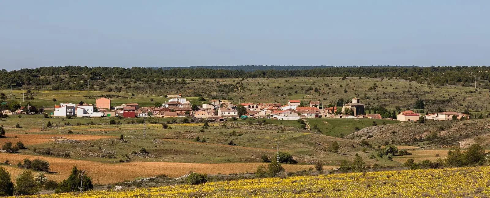
El Pozuelo
Cuenca · 1 places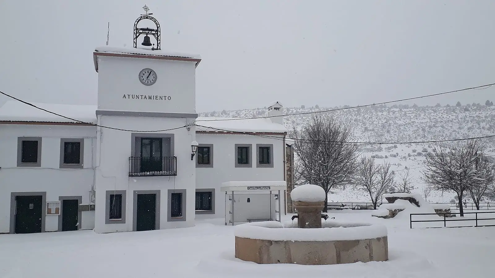
Santa María del Val
Cuenca · 1 places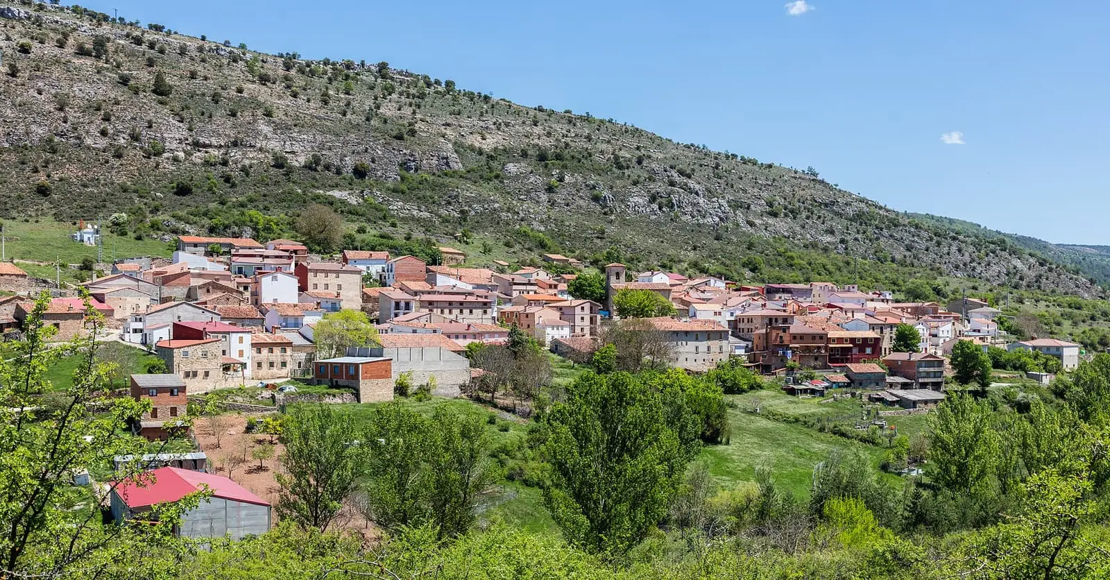
Valsalobre
Cuenca · 1 placesFrequently asked questions
Which rivers rise in the Serranía Alta?
The Júcar rises beside Tragacete, the Cuervo in Vega del Codorno, where it emerges from a 300 m tufa barrier, and the Escabas in the mountains of Tragacete. The Guadiela flows through the Hoz de Beteta.
Which villages have the most inhabitants?
According to the 2021 census, Cañizares (430), Tragacete (258), Las Majadas (237) and Beteta (223).
What remains of the gancheros?
The gancheros drove pine logs down the Escabas and Guadiela to the Tagus. The regional government of Castilla-La Mancha listed the Gancheros del Alto Tajo as a Bien de Interés Cultural in 2021; museums, events and accounts of the trade remain in Priego and the Serranía Alta.