Village · Cuenca
Aliaguilla
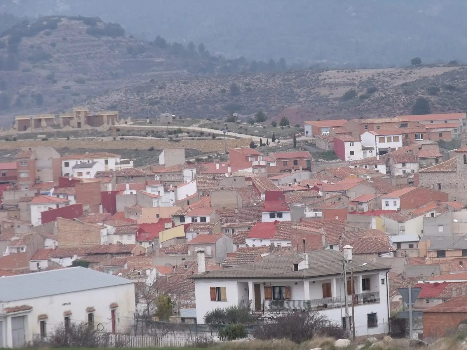
Aliaguilla is a village in the Serranía Baja (lower Serranía) of Cuenca, on the boundary with Valencia, below a hill with a medieval watchtower and between two fortified Iberian settlements. It had 1,663 inhabitants in 1940 and 643 in 2021. Two short-distance trails start here: Torrelahuerta and Collado de la Plata.
On this page 10 sections
A village below the tower
Aliaguilla lies in the east of the Serranía Baja, beside the boundary with Valencia. The houses descend the southern slope of the Cuesta de la Torre, the hill where a tower gave rise to the village; nothing remains of the tower but its name. It was a village of farming and livestock, and the municipality still mixes cereal fields, uncultivated hills and maritime-pine forest.
What trades and memory tell
An 11th-century Andalusi tower stands in the Torrelahuerta area. Around it can still be seen the vegetable terraces irrigated with aquifer water and, higher up, with waterwheels.
In the hills are two fortified Iberian settlements, known through surface survey and unexcavated. La Plaza de Sobrarias is the larger: about 4 hectares, a 156-metre wall with bastions and a ditch cut into rodeno, the red sandstone of the south-east; two denarii from Bolskan were found there. Los Castellares is smaller. Other surface sites include Cerrito Picudo, Puntal de la Atalaya and Tinada Guandonera, gathered in the Cerro Viejo entry.
In 1242 Aliaguilla’s revenues belonged to the hospital of the Order of Santiago in Moya, whose commander, Gonzalo Gómez, resettled it. During the Revolt of the Comuneros the district rose against its marquis, and one of the leaders was hanged. The church of La Asunción was rebuilt around 1670, work attributed to the Moya stonemason Tomás Cortés Plazoleta. During the Civil War its altars, images and parish and municipal archives burnt, and the bells were thrown down.
At Holy Week people make buñuelos de perol, pan-fried fritters, and mazamorra, made with potato, egg and desalted cod. Festivities are on 13 June for San Antonio de Padua, whose hermitage is in La Hoya with the keeper’s house still standing, and 16 August for San Roque. The last weekend of July brings a livestock, agricultural and food fair, and the village ethnographic museum is among the region’s most complete.
The Collado de la Plata cave has, according to the 1845 description, several entrances and chambers, white stalactites and a sound inside like a stream. It is not a cave prepared for visitors.
The king’s librarian
Juan Crisóstomo Ramírez Alamanzón was born in Aliaguilla in 1759. He was ordained at Cuenca’s San Julián seminary in 1781, studied canon law in Valencia and spent time in Requena before settling in Madrid as secretary to the Inquisitor General. He was a member of the Real Academia Española, holding seat M, serving as its permanent secretary and first librarian, and of the Real Academia de la Historia from 1803, for his work on the chronicle of Fernando IV. He was known for his learning and, above all, making good indexes.
In 1807 Carlos IV commissioned him to value and arrange the collections bought for his private library, and he ended up running both that library and the Real Biblioteca Pública, today’s Biblioteca Nacional; Fernando VII formally appointed him to both posts in 1808. José Bonaparte dismissed him in 1811, and Ramírez refused the Seville canonry offered in exchange. He regained his post for a few months with Wellington’s entry in 1812, had to take refuge in Miranda del Castañar and returned to the library in June 1813. He died in Griñón on 8 June 1814. In his will he asked to be buried without pomp and left his property in Aliaguilla to nieces.
Routes
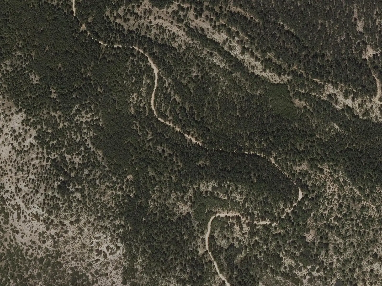
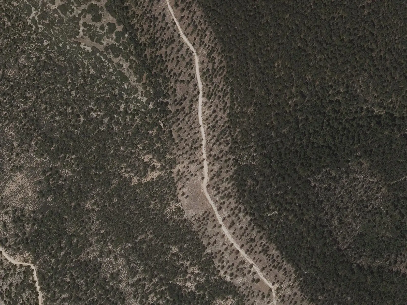
- PR-CU 14, Sendero de Torrelahuerta: 10.5 km along the old Mira road to the tower, then through pine forest to the Collado de Pedro Chova and the Telégrafo summit. Nearby is Pico Pelado, at 1,422 m.
- PR-CU 15, Sendero del Collado de la Plata: a 7 km circular route through the rodeno woods of Sobrarias. It starts 2.5 km from the village, at the Fuente de la Canaleja picnic area.
Plan your visit
Combine the village centre with one of the two short-distance trails: the PR-CU 14 takes a morning; the PR-CU 15, two hours.
Before you travel
Take water and walking footwear: these are pine-forest tracks without facilities. In winter the weather changes quickly on the pass. The settlements and cave have not been prepared for visitors.
Combine with
Frequently asked questions
What is there to see in Aliaguilla?
The village below the Cuesta de la Torre hill; the Andalusi tower of Torrelahuerta and its vegetable terraces; the Collado de la Plata cave and the Iberian oppidum of La Plaza de Sobrarias, known through surface survey.
What trails are there in Aliaguilla?
The PR-CU 14, Sendero de Torrelahuerta (10.5 km, 3 hours), and the PR-CU 15, Sendero del Collado de la Plata (7 km, 2 hours), both approved trails.
How many people live in Aliaguilla?
643 in the 2021 census. The peak of 1,663 was in 1940, according to the INE.
Carry on from here
The rivers, zones, eras, places and official routes that the atlas links with Aliaguilla.
Lands and landscapes
From here, follow the memory of the land
These readings connect Aliaguilla with the stories, the work and the villages around it.
Traces in the village and around it
Which eras you can read here
A single place can keep traces of several periods. These layers connect what you see with the atlas's stories.
Places in the municipality and around it
Official routes
Near Aliaguilla

Fuente del Royo picnic area
Huerta del Marquesado
Prao de San Roque picnic area
Huerta del MarquesadoPaisaje Ilustrado of Huerta del Marquesado
Huerta del MarquesadoSee 5 more

Las Hoyas
La Cierva
Fuente de la Ardilla picnic area
ValdemecaPaisaje Ilustrado of Valdemeca
Valdemeca
Valdemeca Visitor Reception Centre
Valdemeca
Beamud viewpoint
BeamudPopulation of Aliaguilla, 1842–2021
Aliaguilla reached 1,663 inhabitants in 1940. The 2021 census counted 643, 61 % fewer. It is the story told in the emptying.
Climate in Aliaguilla month by month
Averages for the ten years from 2015 to 2024 from the ERA5 reanalysis (Copernicus), for a grid cell with a reference altitude of 1001 m. They are model estimates, not measurements from a local station or thirty-year climate normals.
Source: Copernicus ERA5 via Open-Meteo, CC BY 4.0. Retrieved: 2026-10-09.
Location
● Reference point · ● Villages · ● Places · ━ Routes nearby
Location sketch. The map with paths and names loads as you scroll to it.
Approximate position: village centre.
Reference villages: Garaballa · Mira · Talayuelas · Narboneta.
Open the full map and its historical layers →Where the data on this page come from
- Location
- IGN: Nomenclátor Geográfico Básico de España, capital de municipio (CC BY 4.0) source consulted, 9 October 2026
«Source consulted»: the primary source has been read. «Reference located»: the source has been identified but not yet read. «Open question»: the figure needs confirmation.
More about Aliaguilla, told from the village: Aliaguilla Town Council website.