Route · Palomera
PR-CU 36: Sendero de la hoz del Huécar
PR-CU 36, Sendero de la hoz del Huécar, is an easy circular short-distance trail of 7.7 km with 240 m of elevation gain, starting in Palomera. It follows the gorge's cliff tops, with the Cruz Alta viewpoint, to Molinos de Papel, returning through the gorge, of botanical interest, with a spur to Virgen del Vadillo hermitage.
- Code
- PR-CU 36
- Distance
- 7.7 km
- Elevation gain
- 240 m
- Layout
- Circular
- Difficulty
- Easy
Walking time without travel or stops. Difficulty as graded by the official source. «Easy» does not mean accessible.
- PR-CU 36
- Palomera
- Hoz del Huécar
Where to start
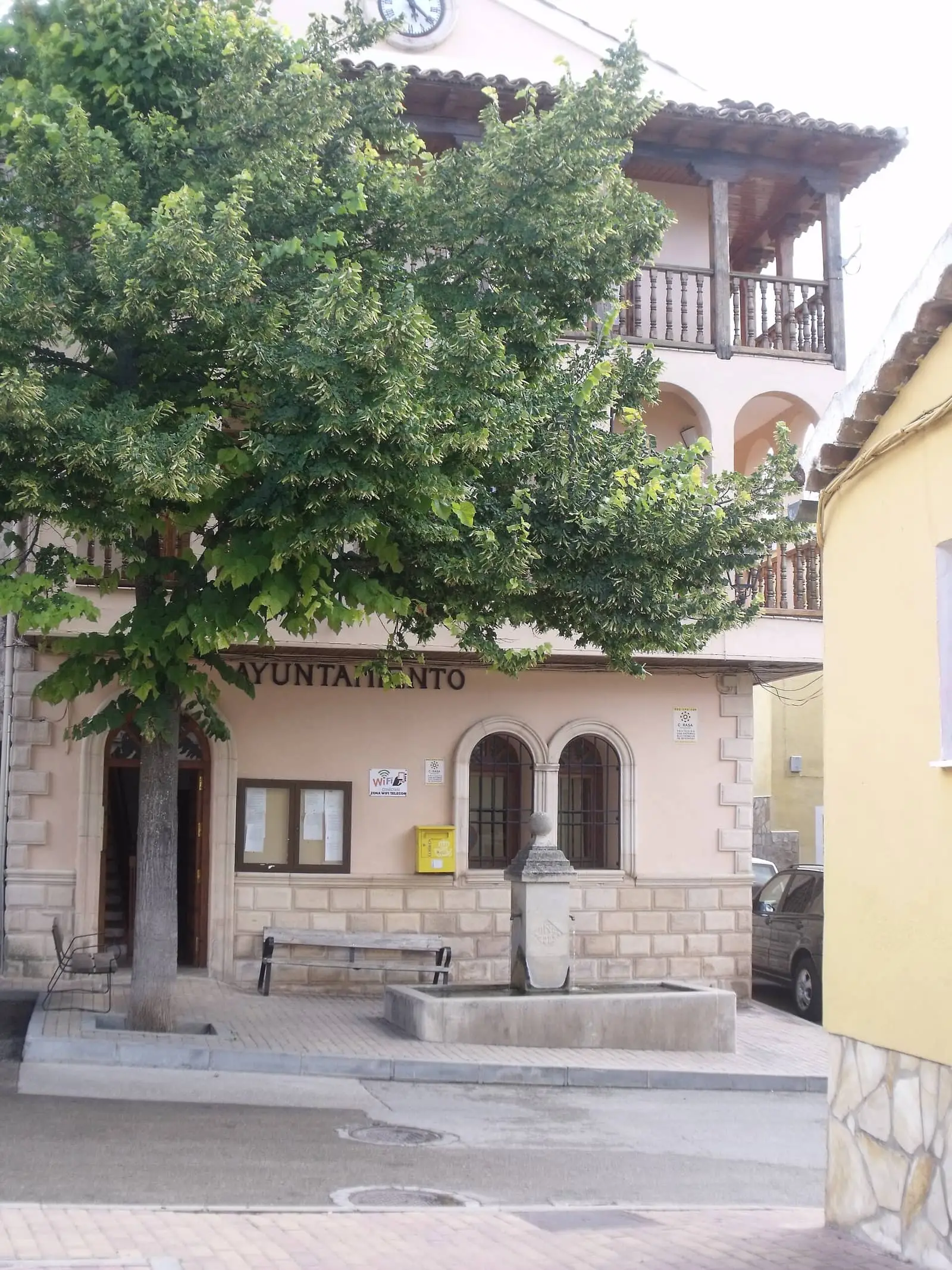
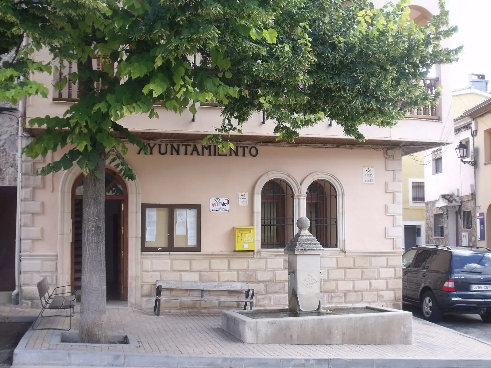
In the square in Palomera.
The route
A stone lane climbs above the village, and a narrow winding path heads north-west along the top of the Hoz del Huécar cliffs, with the Cruz Alta viewpoint, skirting the small valleys of Rincón Pedregoso and Valdeladrones to Molinos de Papel. The return crosses the river at Los Centenares and follows the gorge floor, the most wooded part and richest in plants. A spur leads to the Virgen del Vadillo hermitage. It returns to Palomera among vegetable gardens.
Difficulty and time
Circular, 7.7 km and 240 m of elevation gain. Easy.
Before you set out
In rain, beware of river floods. Palomera has very few facilities.
Official route · Federación de Deportes de Montaña de Castilla-La Mancha y Diputación de Cuenca (Senderos de Cuenca) (PR-CU 36). Description, track and notices on the official route page (in Spanish). Before you set out, check there for changes or closures.

Frequently asked questions
What is there at Molinos de Papel?
A hamlet belonging to Palomera, reached by the trail along the upper part of the gorge.
Is there a flood risk?
Yes, in rainy periods: the register advises caution.
Carry on from here
Lands and landscapes
From here, follow the memory of the land
These readings connect Sendero de la hoz del Huécar with the stories, the work and the villages around it.
Where it is
● Villages · ● Places · ━ Simplified official route
Location sketch. The map with paths and names loads as you scroll to it.
Reference villages: Palomera · Cuenca · Buenache de la Sierra · Fuentes.
Open the full map and its historical layers →Where the data on this page come from
- Name
- Federación de Deportes de Montaña de Castilla-La Mancha (FDMCM) / Senderos de Cuenca source consulted, 4 October 2026
- FDMCM · Diputación Provincial de Cuenca source consulted, 4 October 2026
- Federación de Deportes de Montaña de Castilla-La Mancha source consulted, 5 October 2026
- Municipality (INE code)
- Federación de Deportes de Montaña de Castilla-La Mancha (FDMCM) / Senderos de Cuenca source consulted, 4 October 2026
- FDMCM · Diputación Provincial de Cuenca source consulted, 4 October 2026
- Route data
- Federación de Deportes de Montaña de Castilla-La Mancha (FDMCM) / Senderos de Cuenca source consulted, 4 October 2026
- FDMCM · Diputación Provincial de Cuenca source consulted, 4 October 2026
- Federación de Deportes de Montaña de Castilla-La Mancha source consulted, 5 October 2026
«Source consulted»: the primary source has been read. «Reference located»: the source has been identified but not yet read. «Open question»: the figure needs confirmation.