Village · Cuenca
Cuenca
Cuenca is the provincial capital, and its municipality is among the Serranía's largest: it includes part of the Natural Park, the Torcas de los Palancares and the Ciudad Encantada. This atlas describes only its mountain half. The historic city is a World Heritage Site; the municipality had 54,187 inhabitants in 2021.
On this page 10 sections
A capital with mountains
Cuenca is the provincial capital, and its municipality extends up into the mountains. The city of houses hanging above the Huécar and Júcar gorges is a World Heritage Site with its own literature. Here the other half of the municipality is described: its mountains, with pine forests, torcas, gorges and trails.
Torcas and limestone
The municipality contains the Torcas de los Palancares, round collapse sinkholes in Cretaceous limestone, within the Palancares y Tierra Muerta Natural Monument. Torca Larga is about 450 metres in diameter and Torca Honda about 50 deep.
Around Cuenca’s mountains
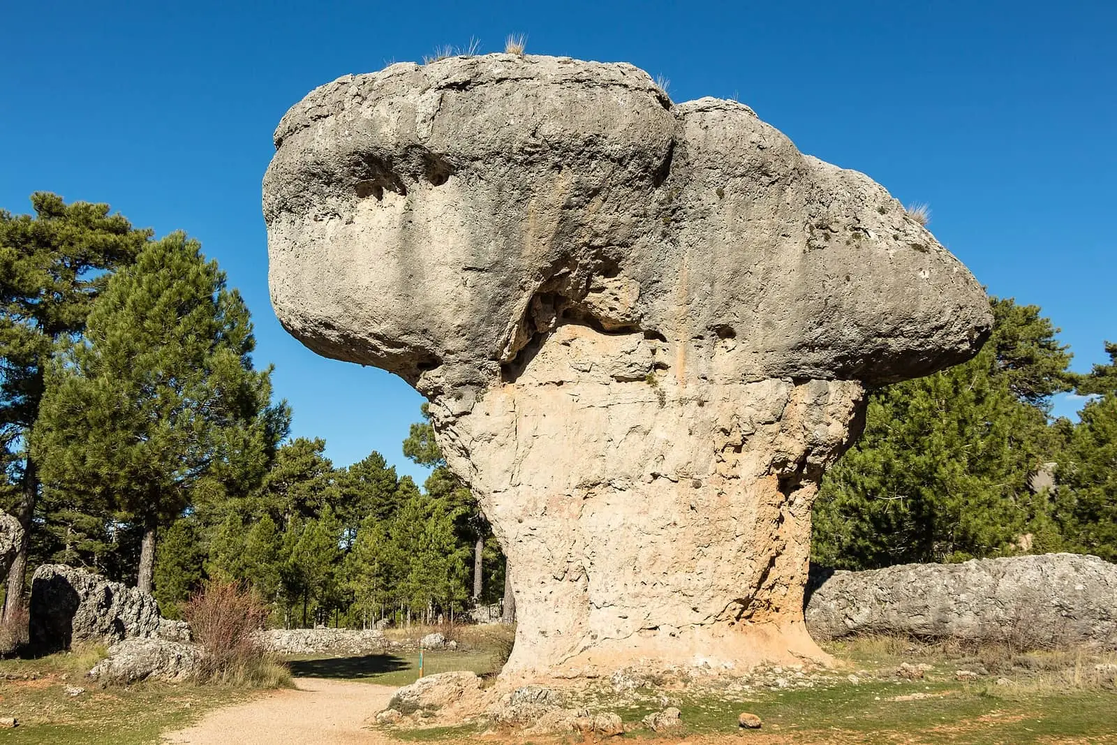
- Ciudad Encantada, limestone carved into shapes, the “Enchanted City” rock formations.
- Museo de Paleontología de Castilla-La Mancha, with fossils from Las Hoyas and Lo Hueco.
- Mirador de las Marimorenas y Picón de la Buitrera, above Valdecabras.
- El Hosquillo.
- Towards Valdecabras, the old tile works and River Valdecabras.
On the same muela, flat-topped limestone hill, as the Ciudad Encantada, on the Valdecabras side, a pierced rock is named Piedra del Balcón (not the Balcón de Pilatos): through its opening one looks into the Cambrón valley. Another projection is called Punta de la Grulla because it resembles the bird’s head. Nearby is the Cueva de los Morceguillos, a micro-reserve for its bats. This is private estate land, with no official trail.
Later Iron Age settlements have been identified on the municipality’s hills, such as Cerro Pelado, Recoria and Hoya del Romano, some walled and ditched. They are known from surface survey and unexcavated.
In Valdecabras about twenty-five winter inhabitants remained in 2022, according to one woman’s estimate. In September, on the ground floor of a house serving as kitchen, store and meeting place, a family and friends gathered to preserve tomatoes: blanching, peeling, frying and jarring them; that year, after a poor drought-hit harvest, they had to buy some. Bread came from Buenache twice a week and everything else was bought in Cuenca. The house owner had been a forest warden, watching fires and woodcutters first on foot and later by motorbike, and a guide in the Ciudad Encantada when five or six cars arrived daily, ten at most.
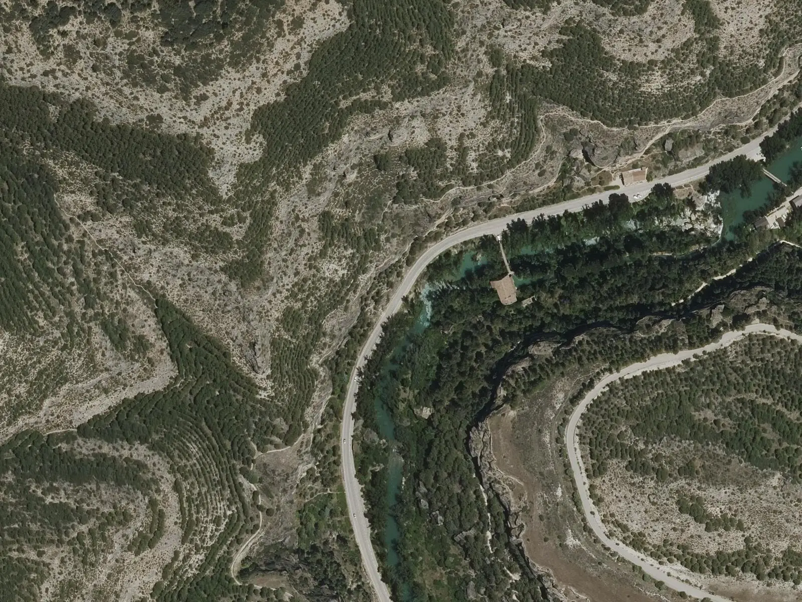
Up the Huécar towards the Cueva del Fraile remain stretches of the aqueduct carrying spring water to the upper city, whose construction the radio dates from 1509: partly covered beneath the path and partly on arches. Along the gorge are terraced gardens, ponds and hocinos, garden houses among crags and isolated rock towers; according to guide Fernando Carreras, pond water came from rain and limestone seepage, not necessarily the aqueduct.
Towards the Moscas, on the edge of Palancares, the dependent villages of Mohorte and La Melgosa have their dehesas, wood pastures. Mohorte’s, called boyal, pasture for residents’ livestock, climbs to an Atalaya, interpreted by presenter Francisco Javier Rodríguez Laguía as a warning post for Cuenca’s fortress; the Camino de la Lana for Santiago pilgrims passes there. The Fuente del Rey commemorating Alfonso VIII and Leonor is conjecture, and Mohorte deriving from «Montefuerte» (strong hill) is a tradition. La Melgosa’s dehesa is holm-oak and Portuguese-oak woodland with similar trunks resprouted together after an old felling, perhaps for charcoal; La Asunción church holds a mural by Víctor de la Vega, apparently including his self-portrait, and in the 17th and 18th centuries family wool workshops supplied the Real Fábrica de Tapices, according to the same presenter.
Routes
- PR-CU 104 (short-distance trail), Dehesa de los Olmos: 14.5 km from Fuente de la Tía Perra beside Cerviñuelo forest warden’s house, through pine forests, Portuguese-oak and juniper woods to a dehesa of Portuguese oaks and maples that change colour in autumn. It has a short variant.
- PNSC-S9, Los Lagunillos trail: 1 km along the upper Escabas, with panels about the Park.
- SL-CU 10 (local trail), Ruta de las Hoces de Cuenca, 4 km, and SL-CU 11, Hoz del Júcar y San Julián, 7, through the gorges around the city.
Plan your visit
For the mountain area, combine the Ciudad Encantada with Los Palancares and one of the Park trails.
Before you travel
Keep away from torca edges: the walls are unstable. Forest roads to Los Lagunillos and Dehesa de los Olmos may close in winter because of snow or ice.
Combine with
Palomera is about 7 km away as the crow flies and Mariana 10.
Frequently asked questions
Which part of Cuenca does this atlas cover?
The capital's mountain territory: the Natural Park, Palancares and Nacimiento del río Cuervo Natural Monuments, Ciudad Encantada, Júcar and Hoz del Huécars and their trails. The historic city, a World Heritage Site, is not the subject of this atlas.
Which trails run through Cuenca's mountain territory?
PR-CU 104 in the Dehesa de los Olmos (14.5 km), SL-CU 10 through the Hoces de Cuenca (4 km), SL-CU 11 through the Júcar gorge and San Julián (7 km) and the Los Lagunillos interpretive trail (PNSC-S9, 1 km).
What are the Torcas de los Palancares?
Karst depressions formed by dissolution of Late Cretaceous limestones. The IGME records Torca Larga, about 450 m in diameter, and Torca Honda, about 50 m deep; they form part of the Palancares y Tierra Muerta Natural Monument, designated in 2001.
Carry on from here
The rivers, zones, eras, places and official routes that the atlas links with Cuenca.
Rivers and basins
Following the water from Cuenca
Follow these watercourses to where they meet, to their villages and to the memories of their basin.
Lands and landscapes
From here, follow the memory of the land
These readings connect Cuenca with the stories, the work and the villages around it.
- Serranía MediaZone of the Serranía →
- Complejo Lagunar del río Moscas micro-reservePart of its municipality is protected →
- Cueva de los Morceguillos micro-reservePart of its municipality is protected →
- Nacimiento del río Cuervo Natural MonumentPart of its municipality is protected →
- Palancares y Tierra Muerta Natural MonumentPart of its municipality is protected →
- Serranía de Cuenca Natural ParkPart of its municipality is protected →
- Serranía de Cuenca SAC and SPA (ES4230014)Part of its municipality is protected →
Traces in the village and around it
Which eras you can read here
A single place can keep traces of several periods. These layers connect what you see with the atlas's stories.
Places in the municipality and around it
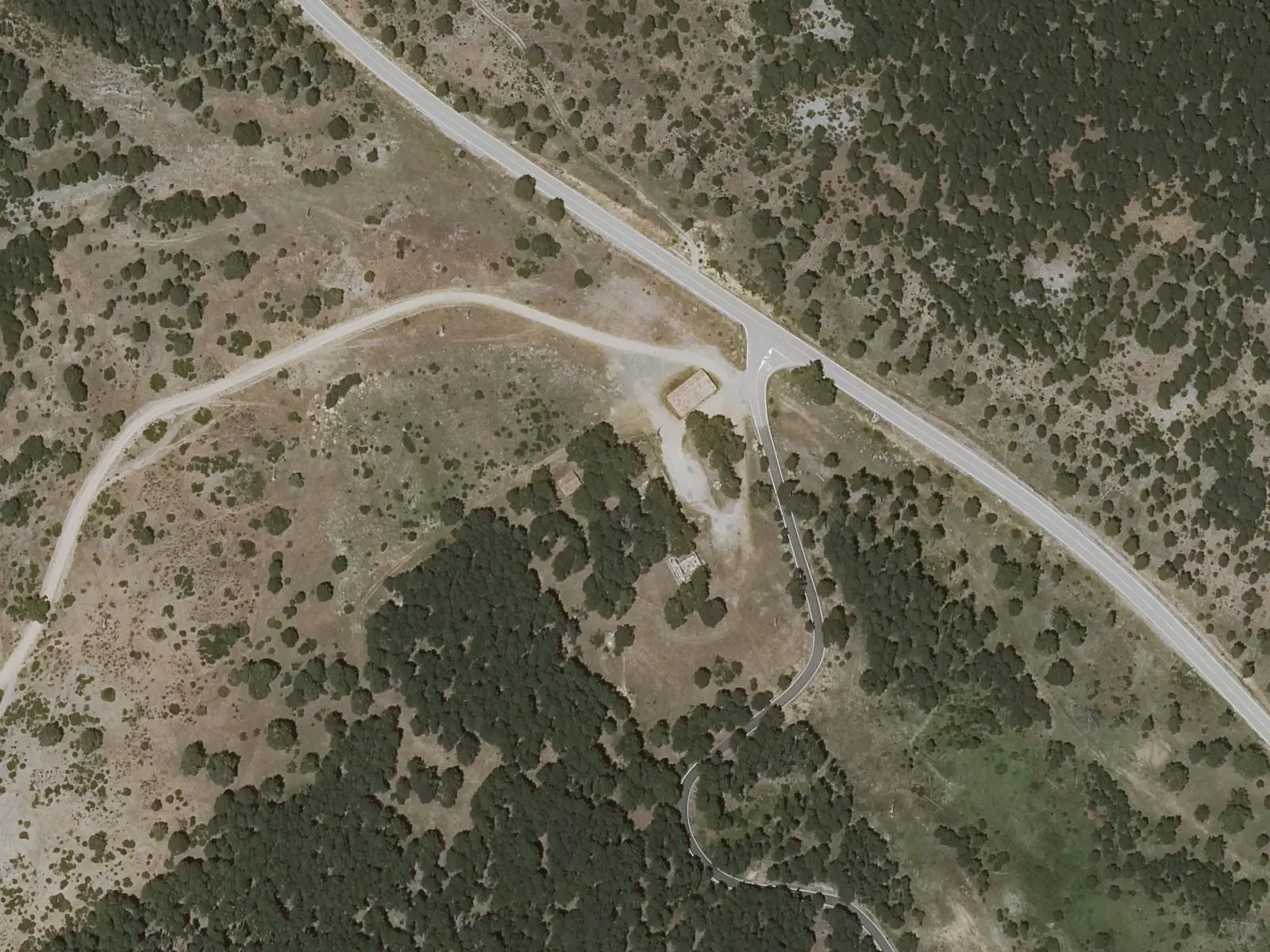
Alto de la Vega picnic area
Cuenca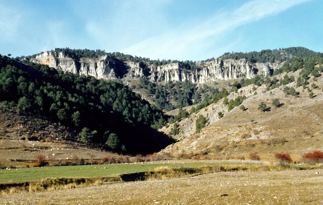
Los Lagunillos picnic area
Cuenca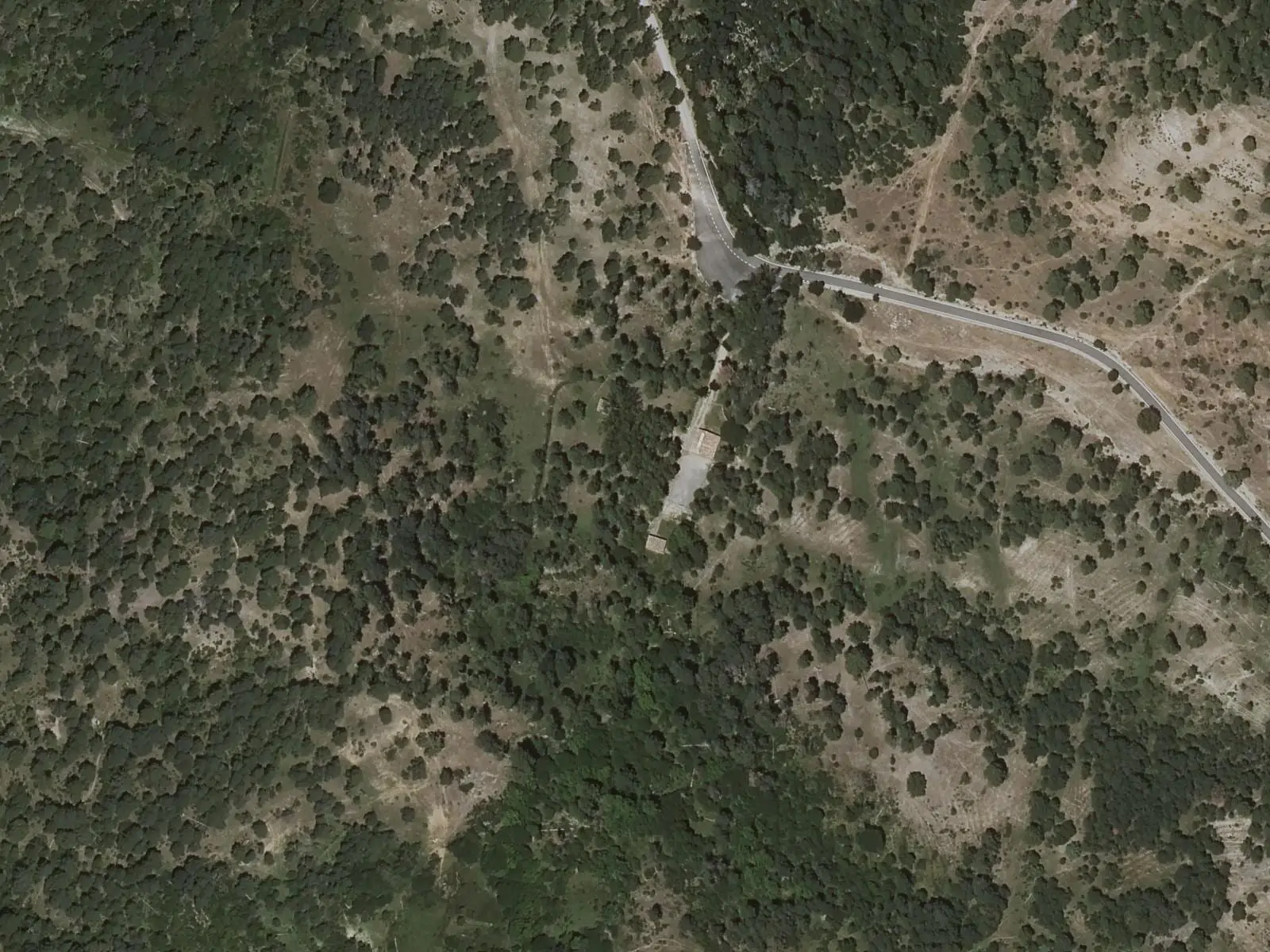
Fuente de la Tía Perra picnic area
Cuenca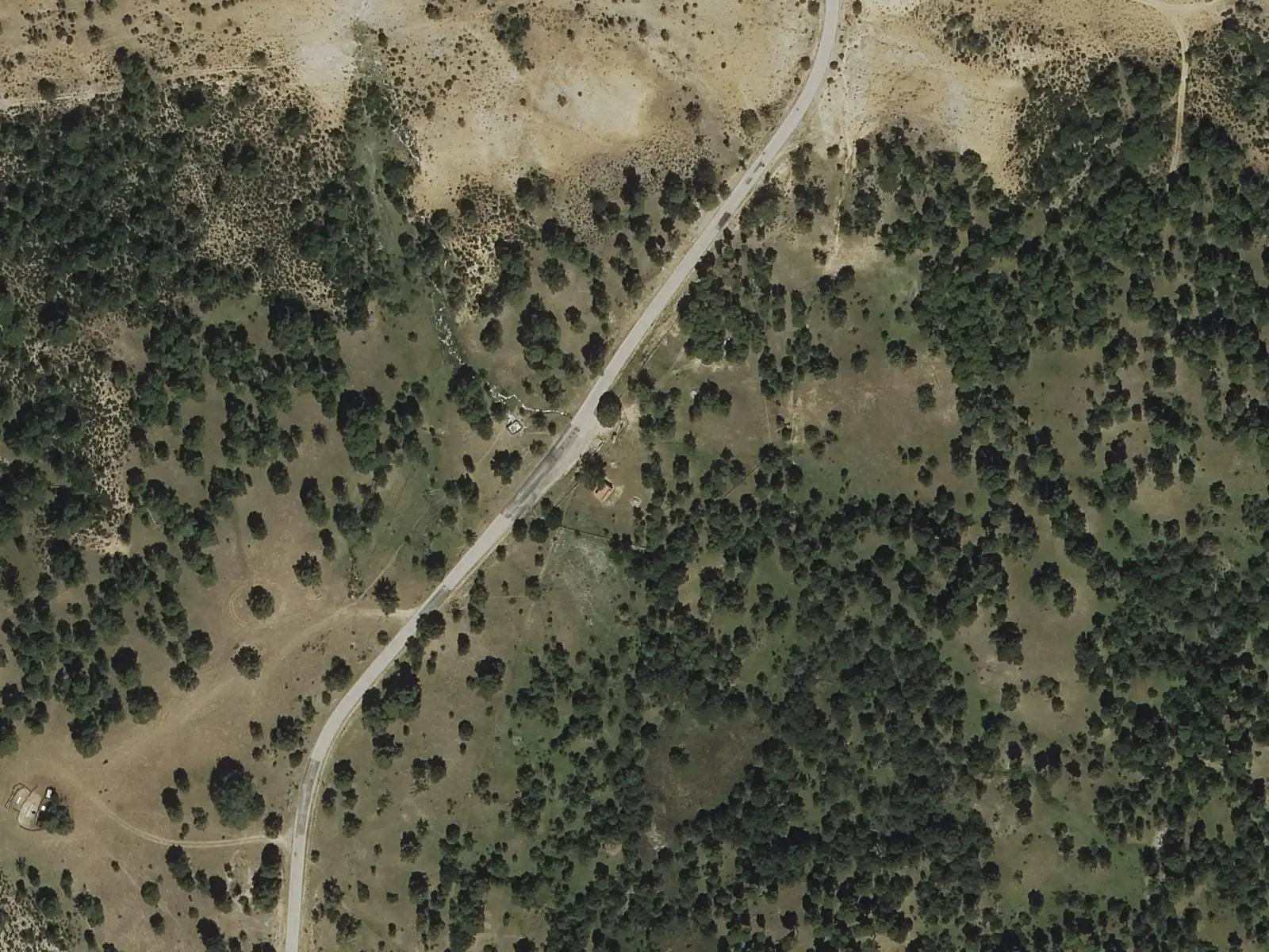
Fuente del Arenazo picnic area
Cuenca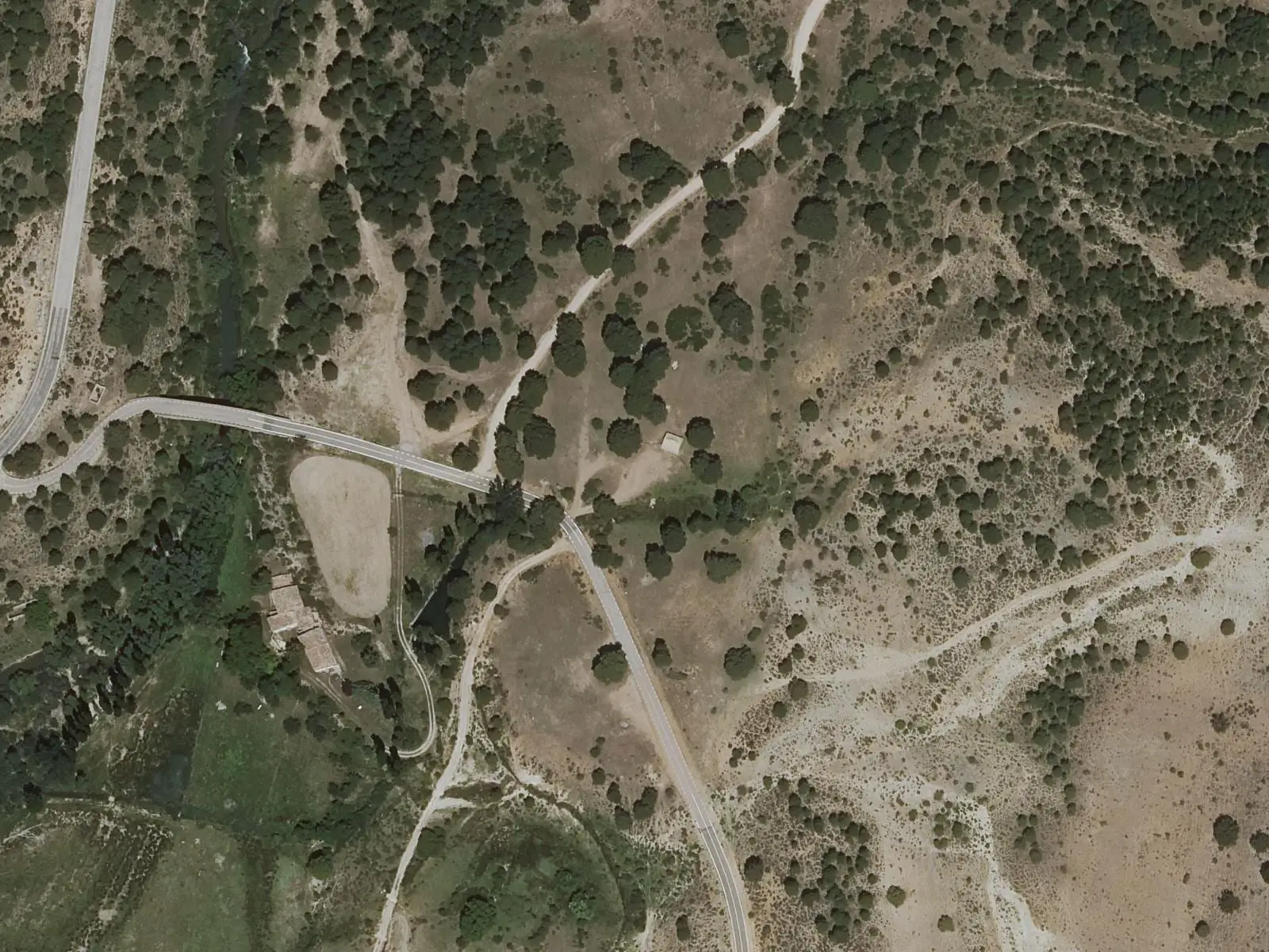
Molino de Juan Romero picnic area
CuencaCiudad Encantada de Cuenca
CuencaSee all 14 places
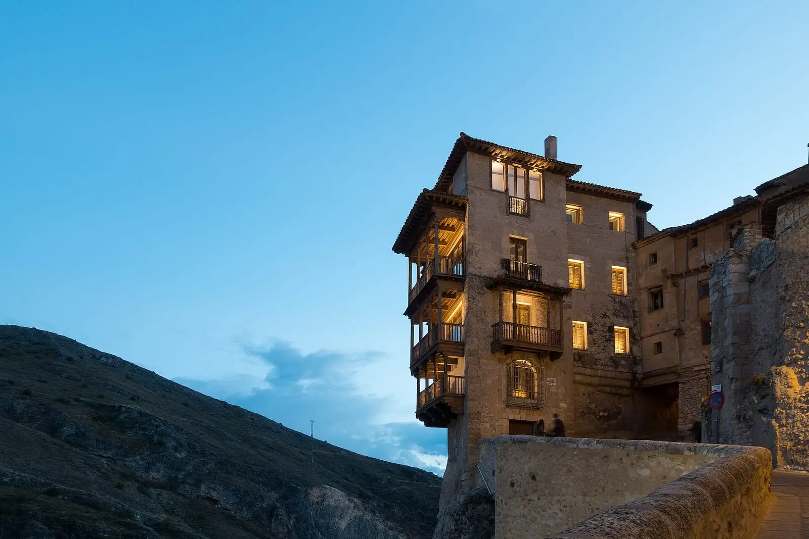
Historic city of Cuenca — World Heritage
Cuenca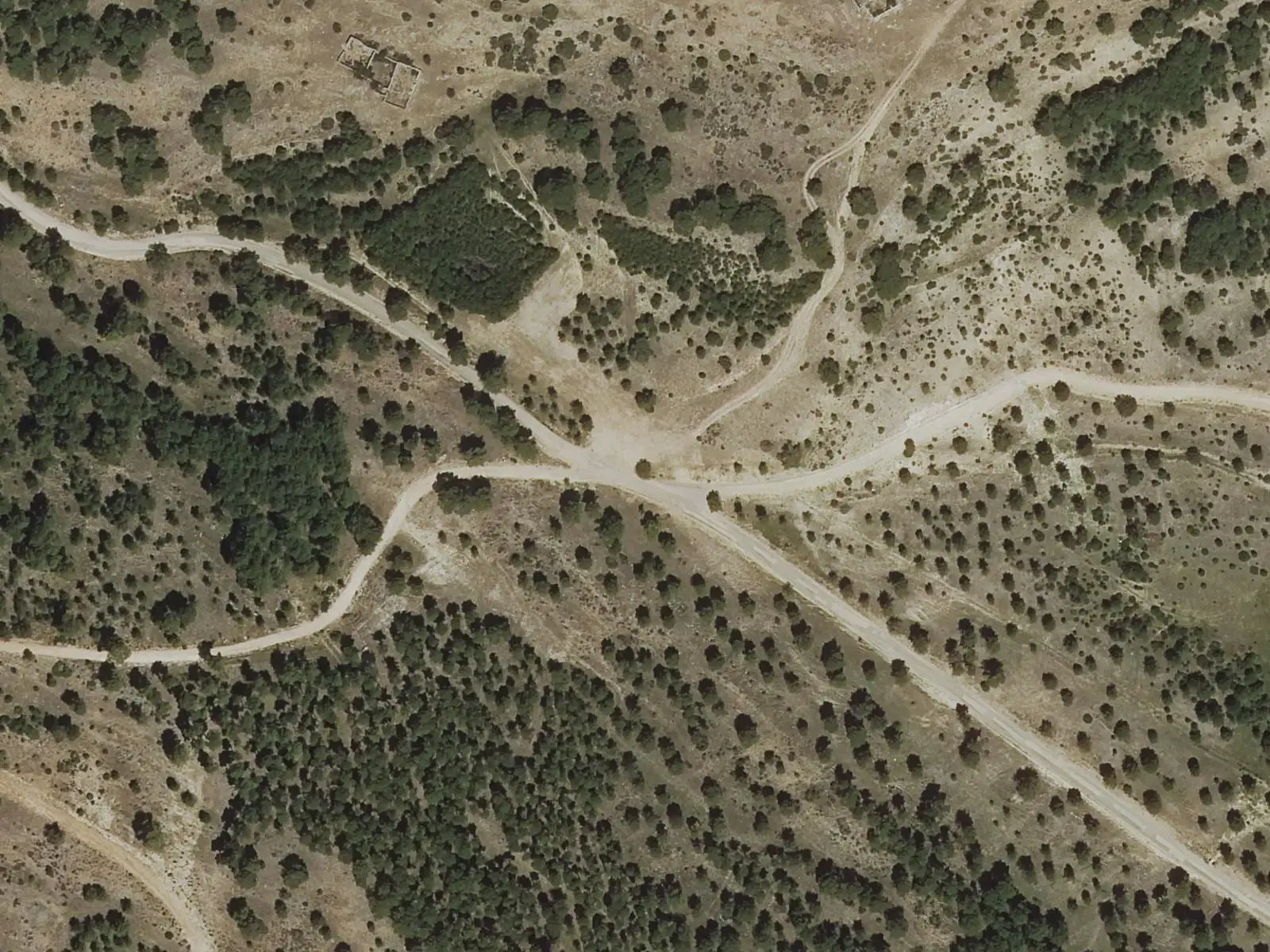
Collado de la Nava, Valdecabras
Cuenca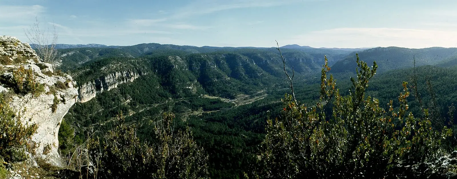
El Hosquillo
Cuenca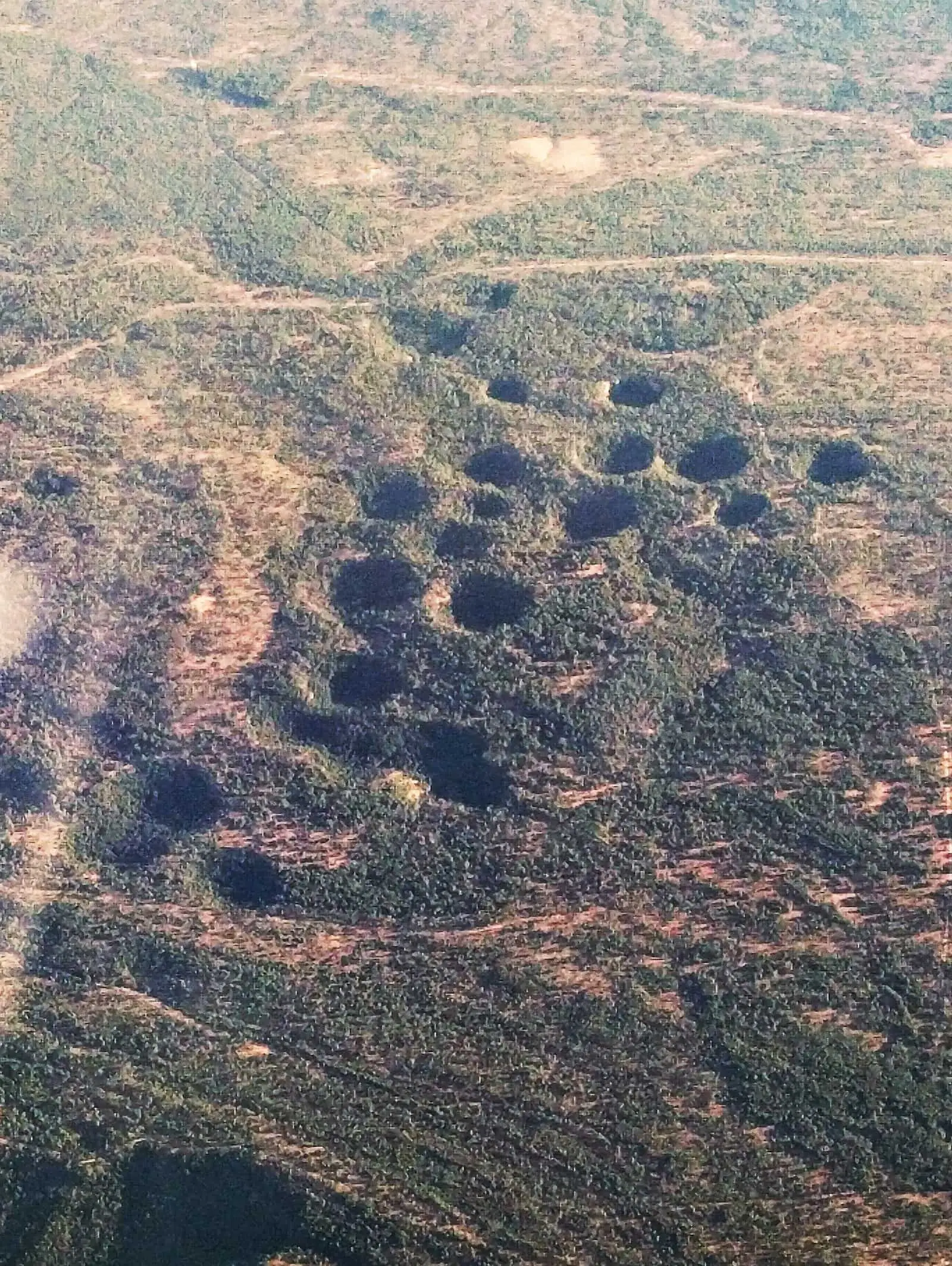
Torcas de los Palancares
Cuenca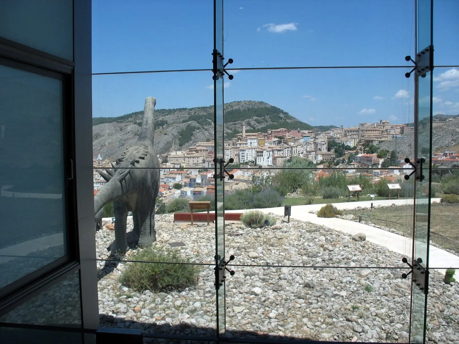
Museum of Palaeontology of Castilla-La Mancha (MUPA)
Cuenca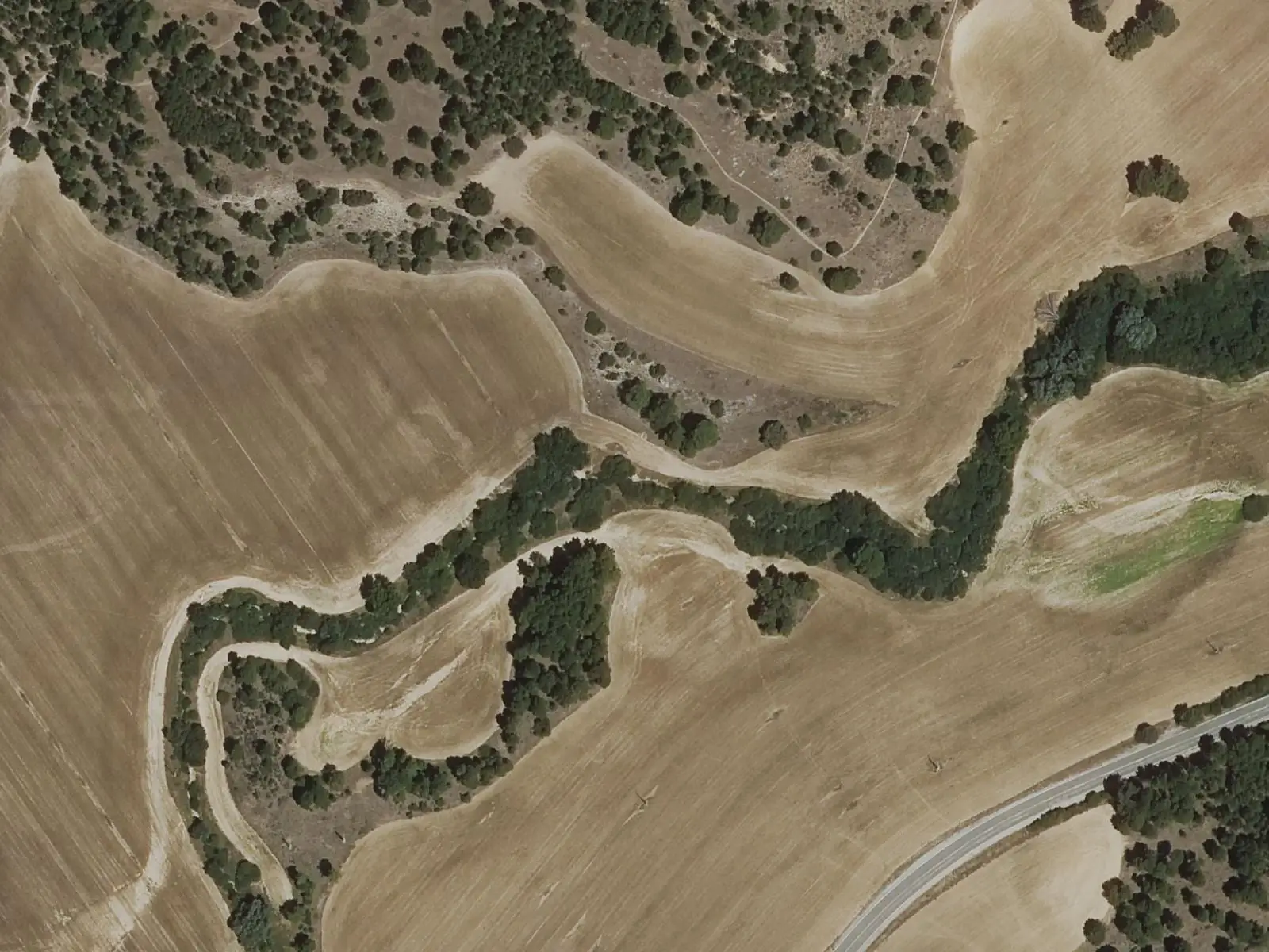
River Valdecabras
CuencaFormer Valdecabras tileworks
CuencaLas Marimorenas viewpoint and Picón de la Buitrera
CuencaOfficial routes
Itinerario interpretativo del area recreativa de los Lagunillos
1 km · 30 min · circular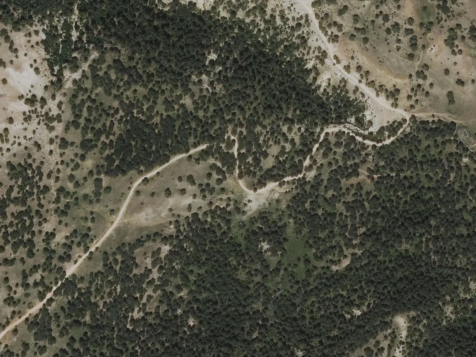
Sendero de la dehesa de los Olmos
14.5 km · 4.5 h · circular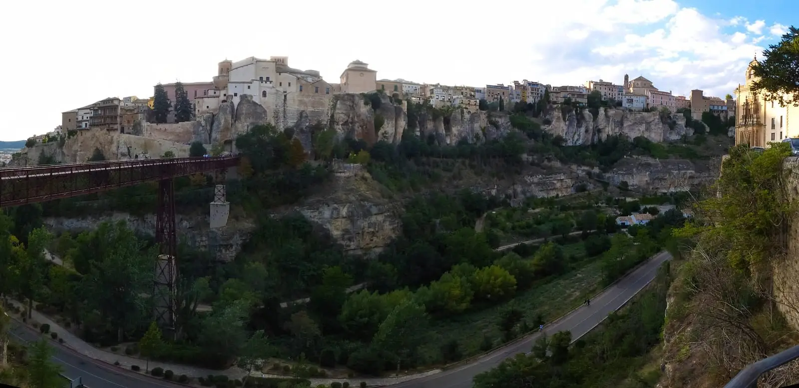
Ruta de las Hoces de Cuenca
4 km · circularSee all 4 routes
Near Cuenca
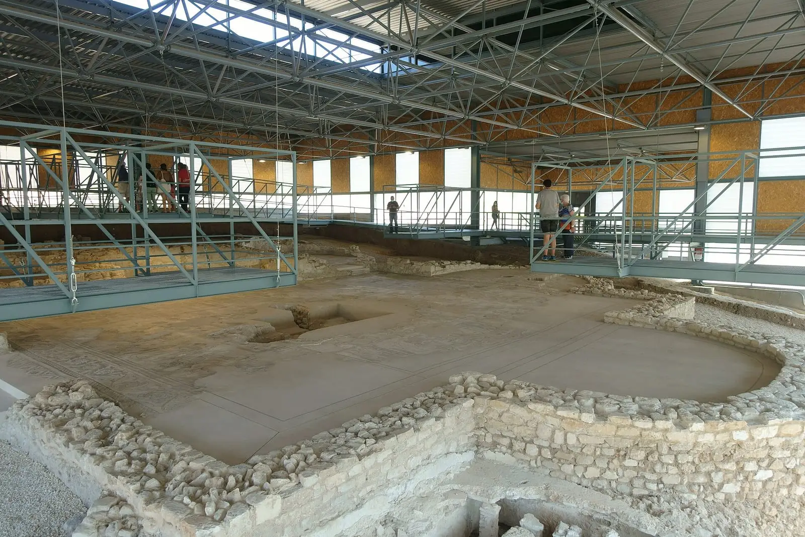
Roman villa of Noheda
Villar de Domingo García
Uña viewpoint
Piedra Yunque
Villalba de la SierraSee 5 more
Travertino viewpoint, Uña
Uña
Uña Visitor Reception Centre
Uña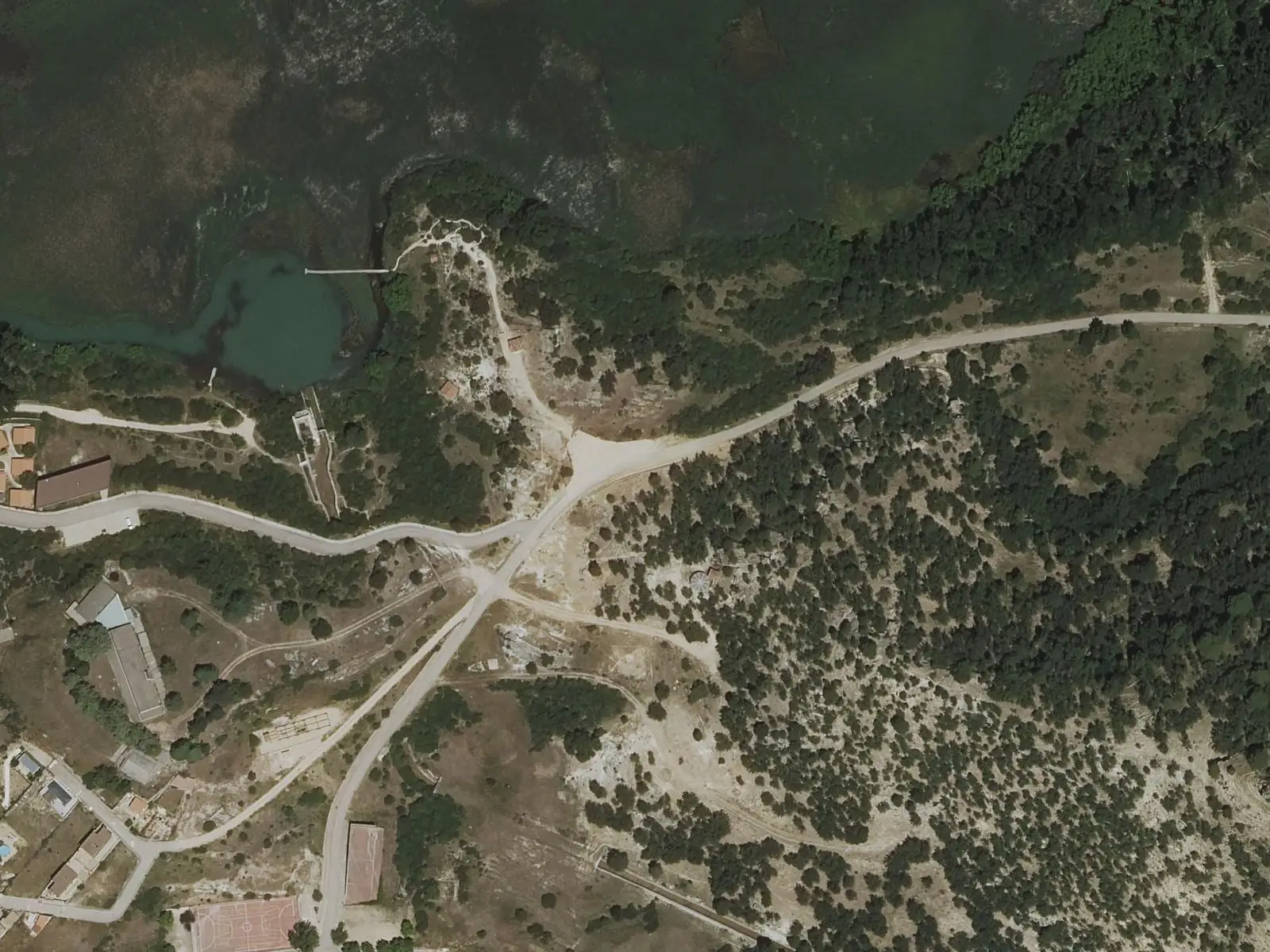
Laguna de Uña viewpoint
Uña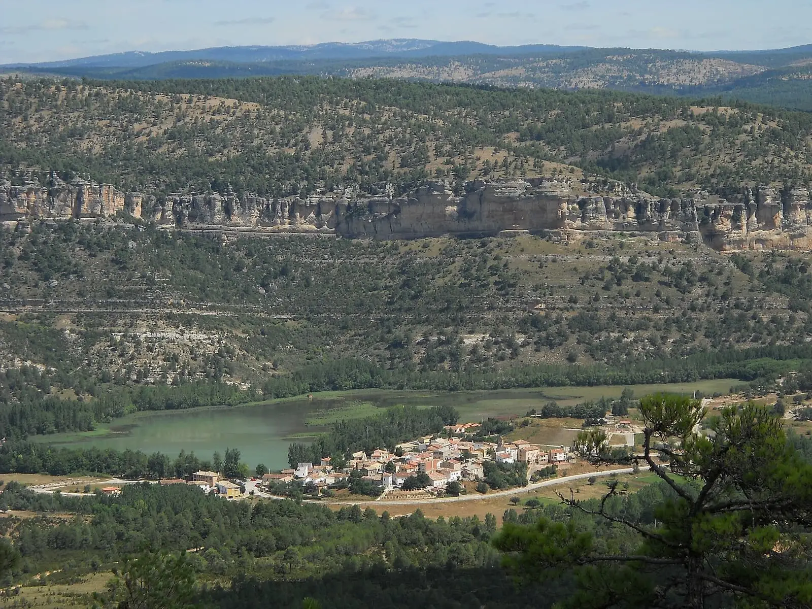
Laguna de Uña
Uña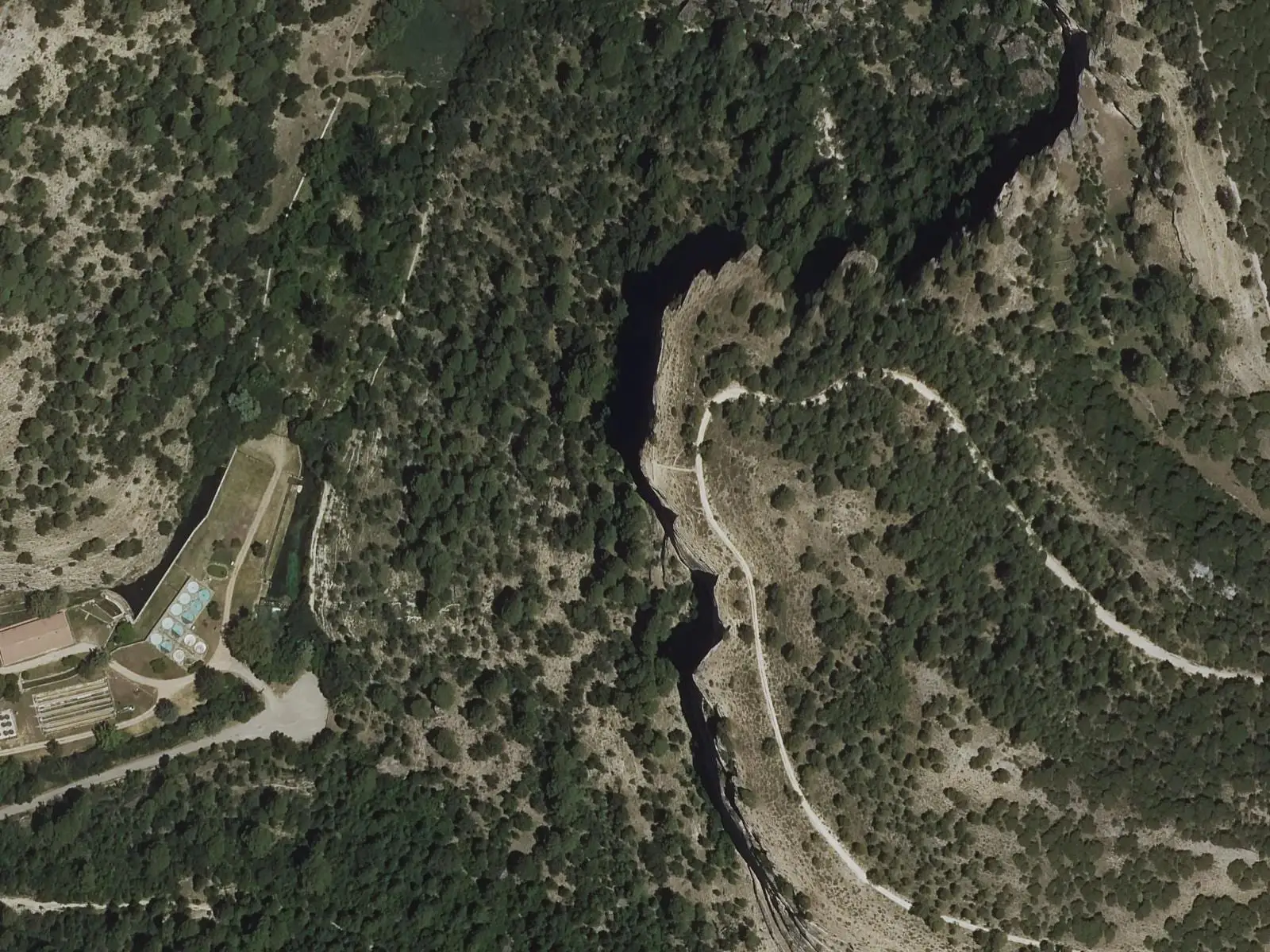
Refrentón viewpoint
UñaPopulation of Cuenca, 1842–2021
Cuenca reached 56,472 inhabitants in 2011. The 2021 census counted 54,187.
Climate in Cuenca month by month
Averages for the ten years from 2015 to 2024 from the ERA5 reanalysis (Copernicus), for a grid cell with a reference altitude of 969 m. They are model estimates, not measurements from a local station or thirty-year climate normals.
Source: Copernicus ERA5 via Open-Meteo, CC BY 4.0. Retrieved: 2026-10-09.
Location
● Reference point · ● Villages · ● Places · ━ Routes nearby
Location sketch. The map with paths and names loads as you scroll to it.
Approximate position: village centre.
Reference villages: Palomera · Mariana · Buenache de la Sierra · Sotorribas.
Open the full map and its historical layers →Where the data on this page come from
- Name
- IGN, Equipamiento Geográfico de Referencia Nacional: nombre oficial y código INE source consulted, 5 October 2026
- Turismo de Castilla-La Mancha source consulted, 4 October 2026
- Turismo de Castilla-La Mancha source consulted, 4 October 2026
- Municipality (INE code)
- IGN, Equipamiento Geográfico de Referencia Nacional: nombre oficial y código INE source consulted, 5 October 2026
- Turismo de Castilla-La Mancha source consulted, 4 October 2026
- Turismo de Castilla-La Mancha source consulted, 4 October 2026
- Protected areas
- Ley 5/2007, de 8 de marzo, de Declaración del Parque Natural de la Serranía de Cuenca (DOCM) reference located, 5 October 2026
- Junta de Castilla-La Mancha, Educación Ambiental: ficha técnica de la exposición «Serranía de Cuenca» reference located, 5 October 2026
- Location
- IGN: Nomenclátor Geográfico Básico de España, capital de municipio (CC BY 4.0) source consulted, 9 October 2026
«Source consulted»: the primary source has been read. «Reference located»: the source has been identified but not yet read. «Open question»: the figure needs confirmation.