Village · Cuenca
Palomera
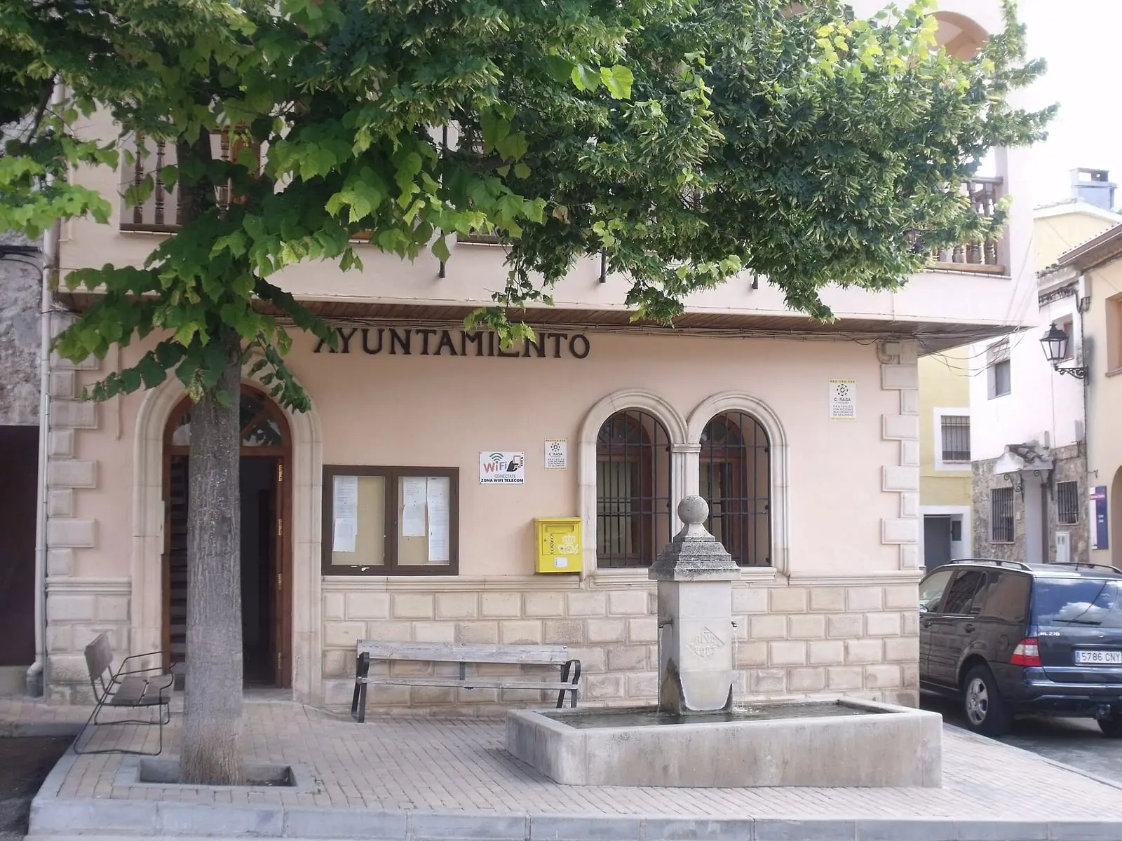
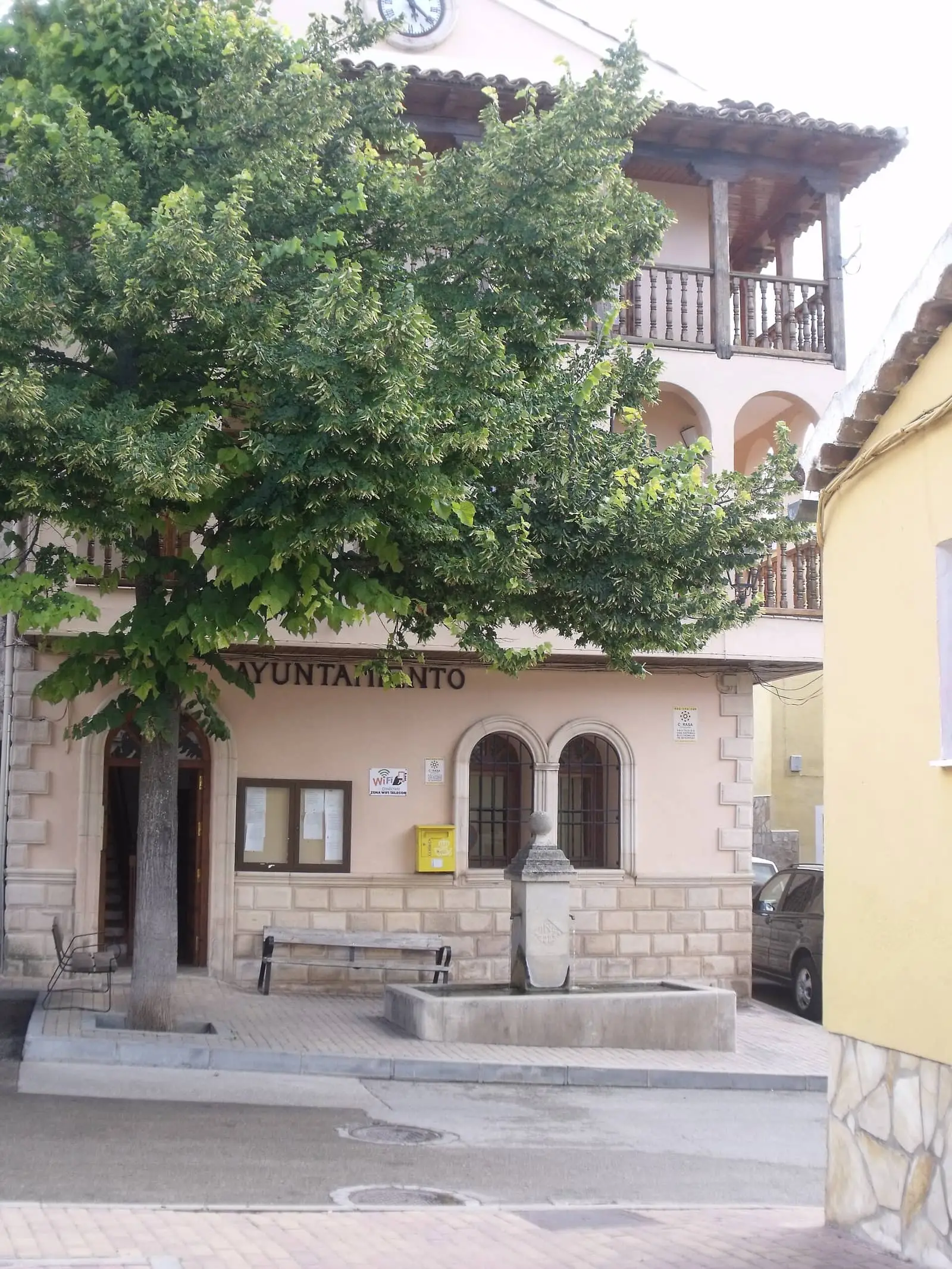
Palomera is a village in the Hoz del Huécar, 7 km from Cuenca, in a municipality adjoining the Palancares y Tierra Muerta Natural Monument. It includes the hamlet of Molinos de Papel, named after the gorge's paper factories. Two approved trails leave its square. It had 599 inhabitants in 1910 and 158 in 2021.
On this page 9 sections
A village in the Hoz del Huécar
Palomera lies in the Hoz del Huécar, 7 km in a straight line from Cuenca, in a narrow valley between limestone cliffs. Part of its municipality falls within the Palancares y Tierra Muerta natural monument. In the mid-19th century it had 76 houses, a school with about thirty children and the church of San Justo y Pastor; wheat, rye and potatoes were grown, and sheep and goats raised.
What trades and memory tell
The municipality then had a flour mill and two paper factories. This is the origin of Molinos de Papel, Palomera’s neighbourhood beside the Huécar, which grew around a fine-paper mill. It is said to have been built in 1613 by the Genoese Juan Otonel, to have been the first of its kind in Spain, and to have faced opposition from the Mesta because it stood on a drove road. Radio accounts have also said there were once four factories, that Felipe IV visited them in 1642, and that the Genoese did not invent paper here, since it was already made, but introduced improvements: very clean water was needed, rags had to soak for a month, then be beaten and the sheets dried. These accounts await confirmation in the records.
Beside the Huécar, among poplars, willows, purple willows, ashes, walnuts and fruit trees, are vegetable gardens, increasingly abandoned, and the stone bridge thought to be medieval. Historian Heliodoro Cordente explains the village’s name by its abundance of pigeons. On the slopes, the Cueva de los Moros is thought to have been a shelter or dwelling, with no written evidence confirming it. Above, in Vallejo del Castillejo, among pines, holm oaks, Portuguese oaks, Spanish junipers and common junipers, stands the ruined Tinada del Ojo, used for livestock and timber, and on Puntal del Castillejo a cross put up by villagers decades ago, with an old sheepfold below and views of the Huécar and Sierra de Bascuñana. We do not know when or why it was erected, or whether it is the trail’s Cruz Alta.
In the village, a panel explains a vernacular house: adobe walls, beams of mountain pine and whitewash made with lime from limestone fired in the lime kilns. Upstream, the Huécar runs clear between gardens and small pools to the Cueva del Moro, a broad, high chamber with dripping water and flowstone at the back; a panel suggests it may have been a shelter or dwelling, without proof; it is not known whether it is the same as the Cueva de los Moros on the slope. Guide Fernando Carreras reports that visitors have broken many of its stalactites and stalagmites. Beyond the Huécar’s source, in the bed of the Rambla stream, the rock retains grooves called the paso de los carros, the cart passage: according to Carreras, they were left by ox-drawn carts carrying timber from Tierra Muerta towards Aragón and Cataluña. No one has measured or dated them.
San Miguel de Hortalén
Cut into the limestone wall of the San Miguel gorge, within Palancares y Tierra Muerta, between Palomera and Mohorte, is the San Miguel de Hortalén hermitage. Inside are a small altar with the saint’s image, windows opening onto the gorge, votive offerings and a visitors’ book; outside, another altar where Mass was said. It is not known when it was cut. According to guide Fernando Carreras, there was once a pilgrimage: the people of Mohorte and Palomera met to hand over the saint, who spent part of the year in Palomera’s church. In 2022 the image stayed in the hermitage all year, and that transfer no longer took place.
In 2025 a popular-history writer told a sanctuary legend on the radio: a wounded stag took refuge in the cave and had vanished when the hunters arrived; this was supposedly why the hermitage was placed there. He also corrected the festival date on air, placing it on 8 May; this remains to be confirmed in the village.
Routes
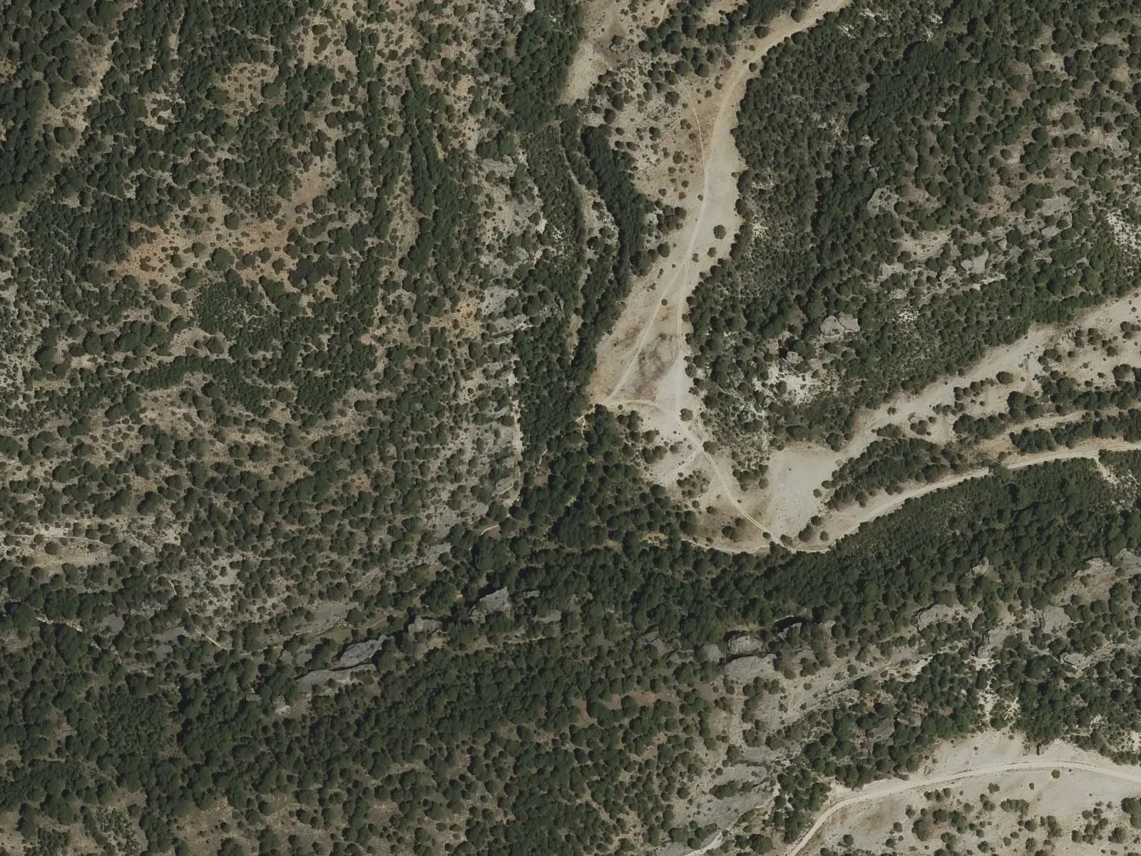
- PR-CU 36 (short-distance trail): 7.7 km. It leaves the square along a stone lane, climbs to the cliff edges and Cruz Alta viewpoint and reaches Molinos de Papel. It returns through Los Centenares, the most wooded part of the gorge, with a branch to the Virgen del Vadillo hermitage.
- PR-CU 35, Sendero de Los Ceños: 15.2 km. It follows the Huécar to its source at El Bodegón, climbs to the Ceño viewpoint at 1,322 m, with the Cotillas pasture and Tierra Muerta in the background, and descends along the Cañada Real Conquense to Buenache de la Sierra.
Plan your visit
PR-CU 36 takes a few hours without going far from Cuenca. PR-CU 35 needs a day.
Before you travel
Bring water, a map and walking footwear. In rain, the riverside and cliff paths are slippery.
Combine with
Buenache de la Sierra, where PR-CU 35 ends, is 8.5 km away in a straight line.
Frequently asked questions
Which trails leave Palomera?
Two, approved by the Castilla-La Mancha Mountain Sports Federation and the Provincial Council: PR-CU 36, climbing through the Hoz del Huécar to Molinos de Papel and returning along the river (7.7 km, 240 m of elevation gain), and PR-CU 35 or Sendero de Los Ceños, climbing past the Huécar's source to the Ceño viewpoint at 1,322 m and descending to Buenache de la Sierra (15.2 km).
What is Molinos de Papel?
A hamlet belonging to Palomera in the Hoz del Huécar. In 1849 Madoz noted that the houses of Molino de Papel were attached to Palomera, and described two paper factories in its jurisdiction.
How many inhabitants does it have?
158 in the 2021 census. Its peak was 599 in 1910, according to the INE.
Carry on from here
The rivers, zones, eras, places and official routes that the atlas links with Palomera.
Lands and landscapes
From here, follow the memory of the land
These readings connect Palomera with the stories, the work and the villages around it.
Official routes
Near Palomera
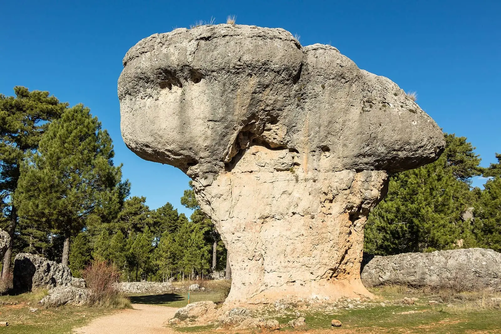
Ciudad Encantada de Cuenca
Cuenca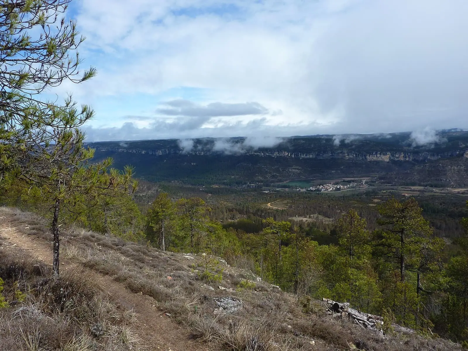
Uña viewpoint

Las Hoyas
La CiervaSee 5 more
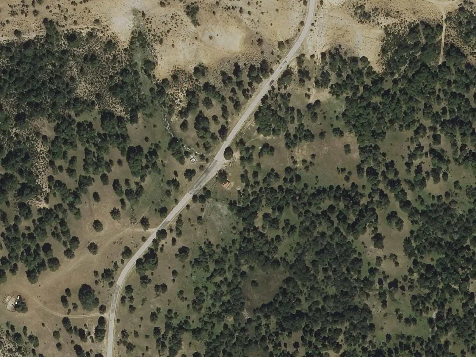
Fuente del Arenazo picnic area
Cuenca
Travertino viewpoint, Uña
Uña
Uña Visitor Reception Centre
Uña
Laguna de Uña viewpoint
Uña
Piedra Yunque
Villalba de la SierraPopulation of Palomera, 1842–2021
Palomera reached 599 inhabitants in 1910. The 2021 census counted 158, 74 % fewer. It is the story told in the emptying.
Location
● Reference point · ● Villages · ● Places · ━ Routes nearby
Location sketch. The map with paths and names loads as you scroll to it.
Approximate position: village centre.
Reference villages: Cuenca · Buenache de la Sierra · Fuentes · Mariana.
Open the full map and its historical layers →Where the data on this page come from
- Location
- IGN: Nomenclátor Geográfico Básico de España, capital de municipio (CC BY 4.0) source consulted, 9 October 2026
«Source consulted»: the primary source has been read. «Reference located»: the source has been identified but not yet read. «Open question»: the figure needs confirmation.