Village · Cuenca
Fuentes
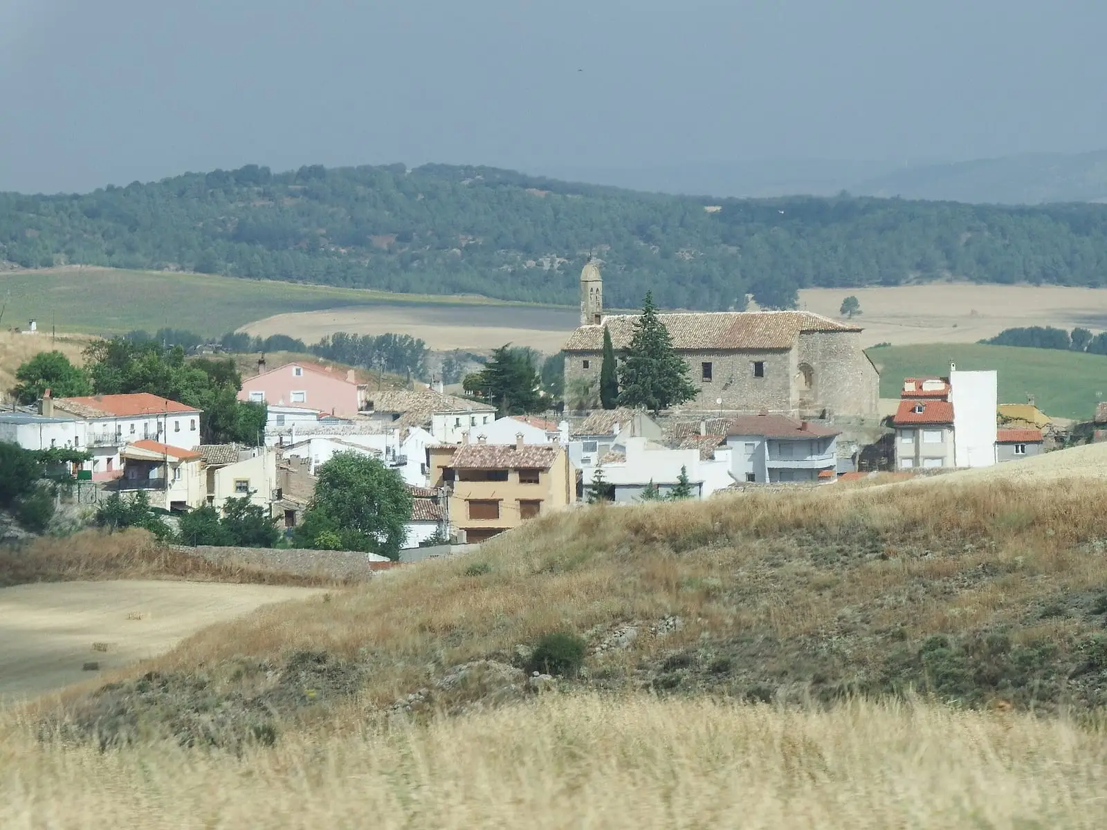
Fuentes is a village in the Serranía Media (middle Serranía) of Cuenca, about 18 km from the city, known for Lo Hueco, the dinosaur site revealed by high-speed railway works in 2007: over 8,500 large fossil remains from the Late Cretaceous. It had 1,350 inhabitants in 1930 and 467 in 2021, and also contains the lake complex at the source of the River Moscas.
On this page 12 sections
A village in the southern Serranía
Fuentes lies in the Serranía Media, about 18 km from Cuenca. It has the church of Nuestra Señora de la Asunción, Romanesque from the early 13th century and altered in the 16th and 17th centuries (the town council dates its construction to the 15th), and the Nuestra Señora de Gracia hermitage. It incorporated the village of Zomas before 1857.
From Cuenca’s dependent village to chartered town
The village arose from resettlement following Alfonso VIII’s conquest of Cuenca in 1177. Settlers, many from Extremadura, established themselves at the Moscas headwaters among springs and between the Santa Magdalena and San Macario hills; Fuente de San Sebastián was the principal spring. For centuries it depended on Cuenca, with no courts of its own: inhabitants had to leave their fields to attend trials. On 2 December 1557, Philip II granted it the title of villa (chartered town). It then had 259 households and gained mayors, councillors, pastures and dehesas of its own, and the right to have gallows, pillory, prison and stocks. In the 19th century, during the Carlist Wars, there were about 508 households, with a hospital and charcoal factory.
Lo Hueco
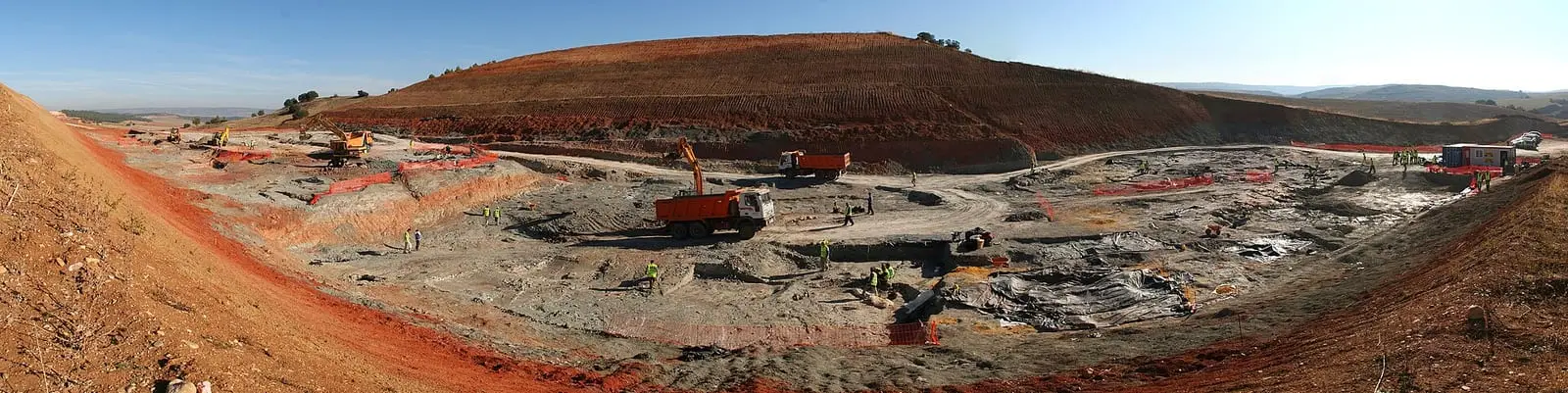
In May 2007 Madrid-Valencia high-speed railway works encountered Lo Hueco, a site from the dinosaurs’ last millions of years. Emergency excavation lasted months and yielded over 8,500 fossils: fish, turtles, crocodiles, pterosaurs and dinosaurs, including titanosaurs with almost complete skeletons. The fossils were moved and the site can no longer be seen.
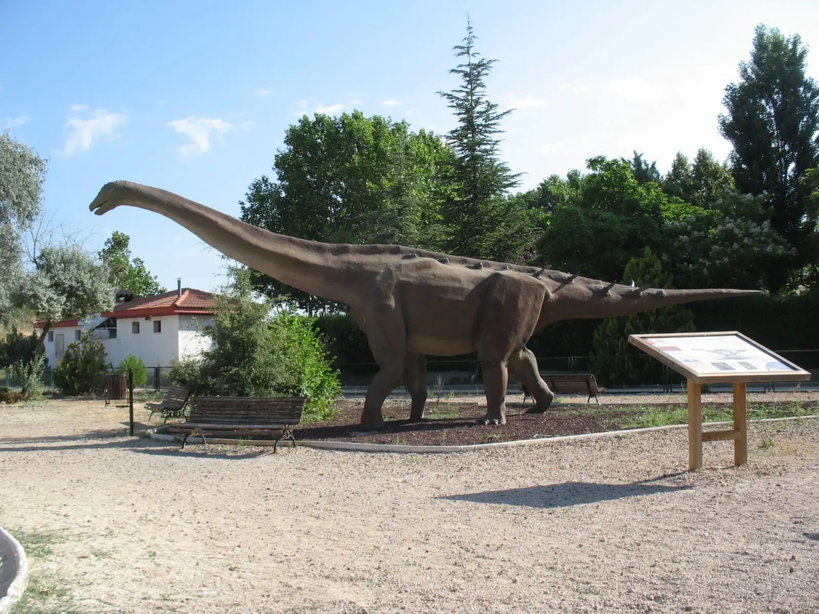
The Fuentes exhibition centre tells of the discovery, and a village park has a replica of Epi the titanosaur.
The River Moscas lakes
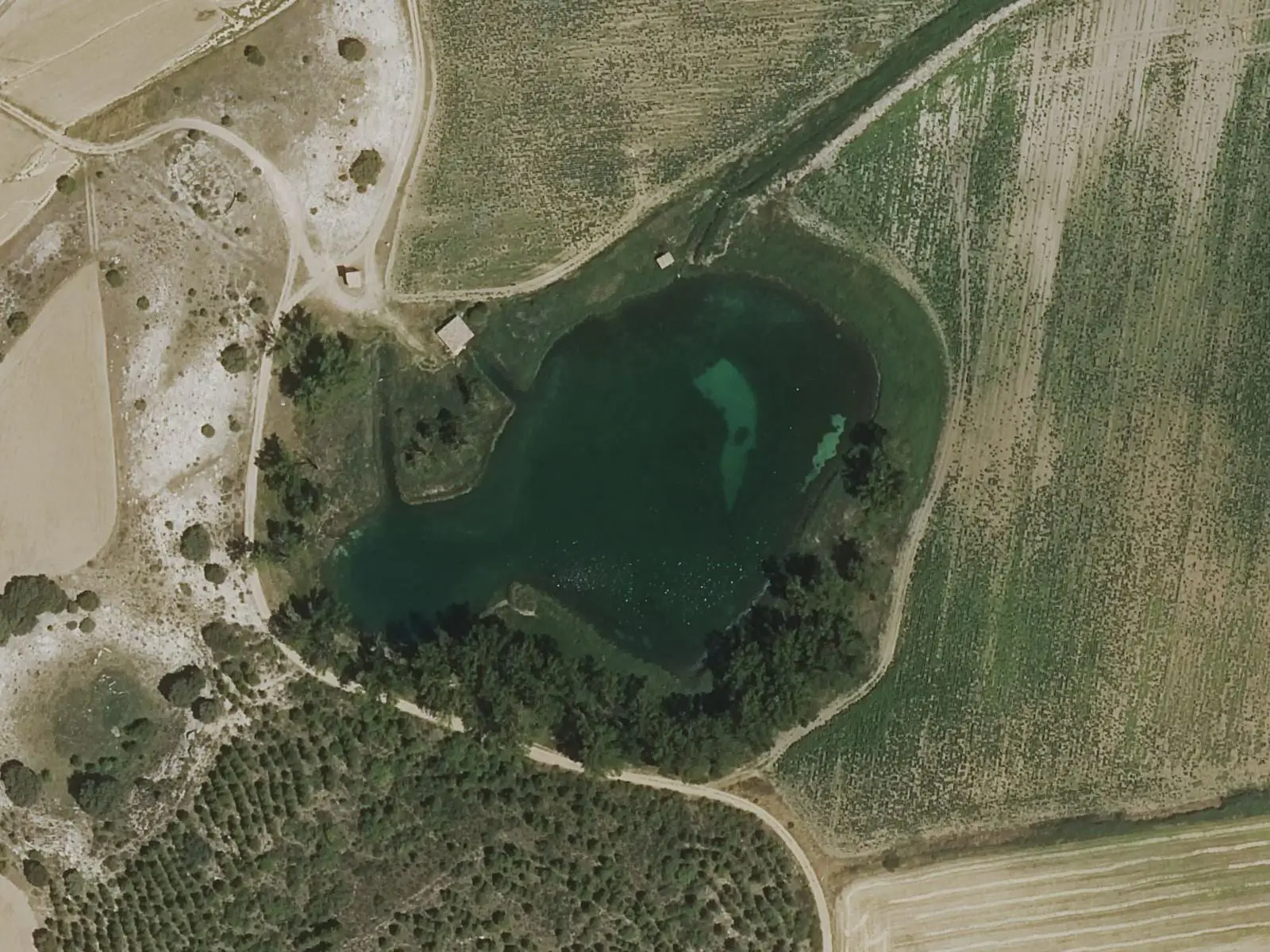
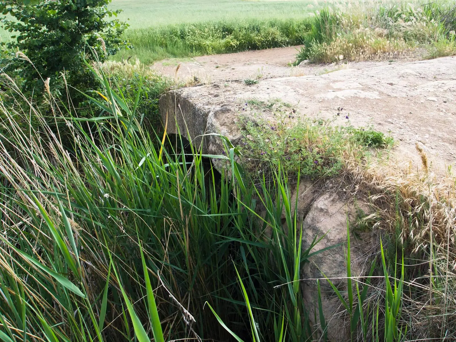
The River Moscas rises among lakes: Laguna Negra, Laguna de los Cedazos, Mohorte, Las Zomas and the Ojo de la Corva lakes. A bridge crosses the source.
The river that was straightened
The Moscas rises beneath the old medieval bridge, opposite the church steps, and until the 1960s it was a different river. Land consolidation, declared in 1961, removed it from its bed and turned it into a straight, deep ditch to lower the water and gain dry farmland. La Peñona, a rock with a spring at its foot, was demolished and the Puente Nuevo rested on it; the springs of La Colmenilla, with dry-stone-walled gardens, were blocked, and houses were built where clover meadows, willows and elders had stood. The river had crayfish and some trout; the day water left the old bed, crayfish were stranded dry and some villagers carried them away in sacks. For centuries Fuentes had three numerically named mills, El Primero, El Segundo or De Enmedio and El Tercero; ruins of El Primero remain and El Tercero is now an agricultural shed.
The lakes are said to communicate underground through «un brazo de mar» (an arm of the sea), through a swallow hole called El Ojo that swallows whatever falls in: a mule team that sank in Laguna Negra appeared days later, still yoked, floating in Los Ciazos, the local name for Los Cedazos. Laguna Negra holds the Iberian ribbed newt (gallipato), Europe’s largest newt, and occasionally a new shaft opens overnight, such as the Lagunillo del Ojo de la Corva in 2009.
The Moscas even has a poem. Around 1615 José de Villaviciosa, lord of Reíllo, published La Mosquea in Cuenca, a mock epic of war between flies and ants, dedicated to Pedro de Rávago, city councillor and owner of a wool-washing works on the river. In it the Moscas washes wool better than the Júcar, and sometimes carries it away.
Ethnographer Tirso Moreno of Vestal Etnografía recalls on Hoy por Hoy Cuenca that the Moscas valley was known for tertian fevers until the late 19th century, and besides Fuentes’ three mills there were others downstream in Mohorte and La Melgosa, and wool-washing works. On one side of the valley lies the Palancares limestone muela, flat-topped hill, with black pine; on the other, El Talayuelo, of gypsum and sand, with maritime pine, whose large cones were used to light hearth fires and which was also tapped for resin.
Routes
The River Moscas Lake Complex trail is 6.5 km. The town council also has the Sendero de las Navas and the Fuentes dinosaur route.
Plan your visit
Start at the exhibition centre, continue with Epi and the church and leave the lakes until last.
Before you travel
Confirm exhibition centre opening times with the town council. The lakes are fragile: do not tread on their shores.
Combine with
Cañada del Hoyo, with its lakes and torcas, is 10.6 km away as the crow flies.
Frequently asked questions
What is Lo Hueco?
A Late Cretaceous palaeontological site discovered in May 2007 during Madrid-Valencia high-speed railway works, with dinosaur, crocodile and turtle fossils. It is Spain's largest dinosaur site; it was excavated and moved, and its exhibition centre is in Fuentes.
What is there at Lo Hueco?
More than 8,500 large fossil remains published up to 2013, mainly vertebrates: fish, amphibians, turtles, lizards, crocodiles, pterosaurs and theropod, ornithopod and titanosaur sauropod dinosaurs, some with almost complete skeletons.
How many people live in Fuentes?
467 in the 2021 census. The peak was 1,350 in 1930, according to the INE.
Carry on from here
The rivers, zones, eras, places and official routes that the atlas links with Fuentes.
Lands and landscapes
From here, follow the memory of the land
These readings connect Fuentes with the stories, the work and the villages around it.
Traces in the village and around it
Which eras you can read here
A single place can keep traces of several periods. These layers connect what you see with the atlas's stories.
Places in the municipality and around it
Official routes
Near Fuentes

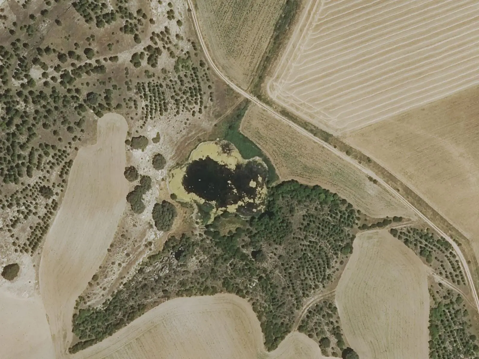
Las Hoyas
La Cierva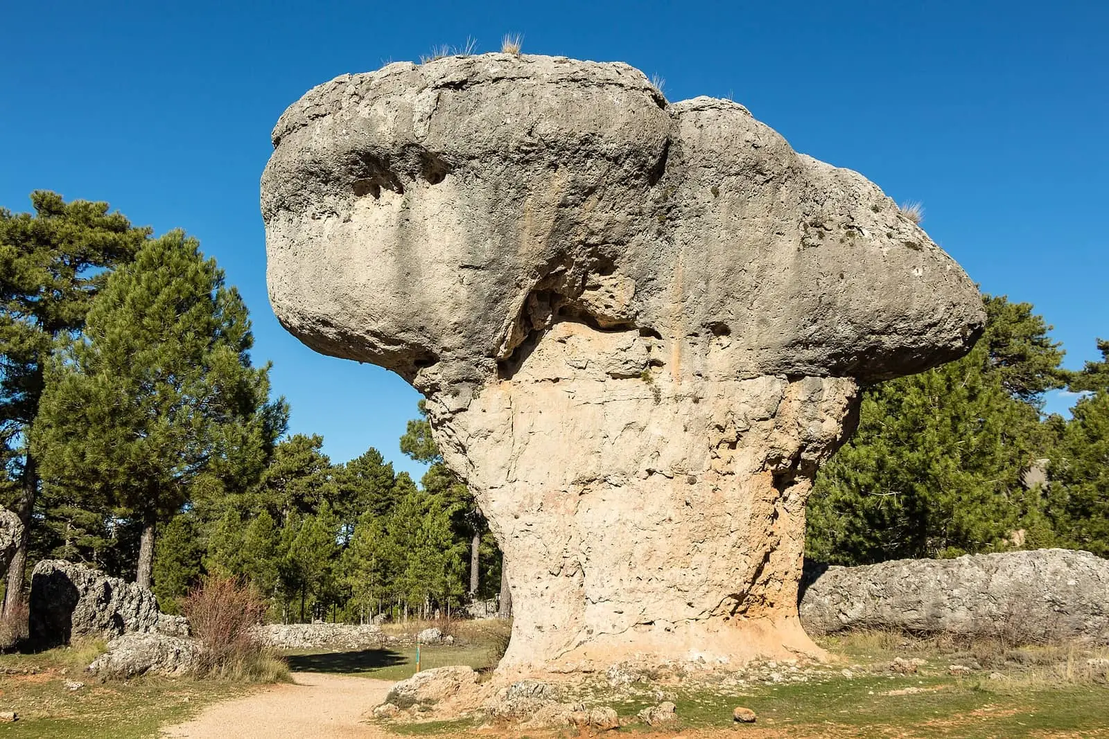
Ciudad Encantada de Cuenca
Cuenca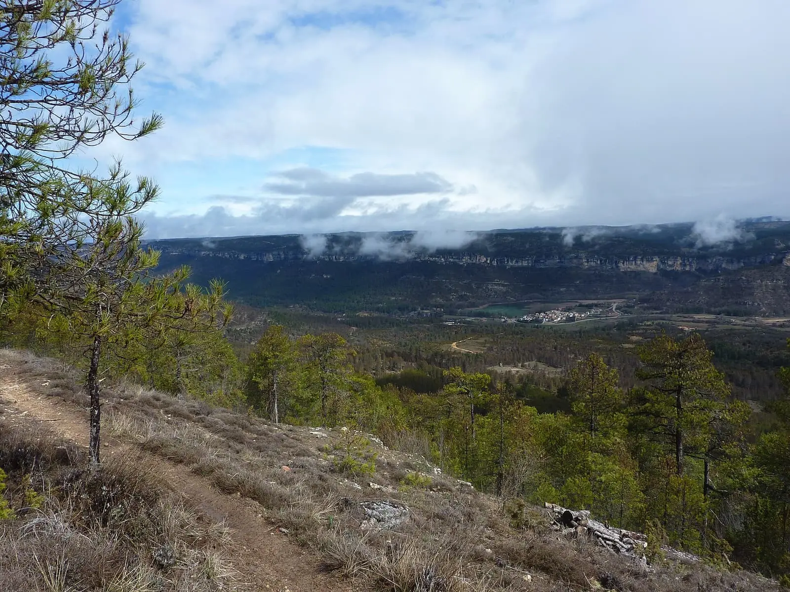
Uña viewpoint
See 5 more
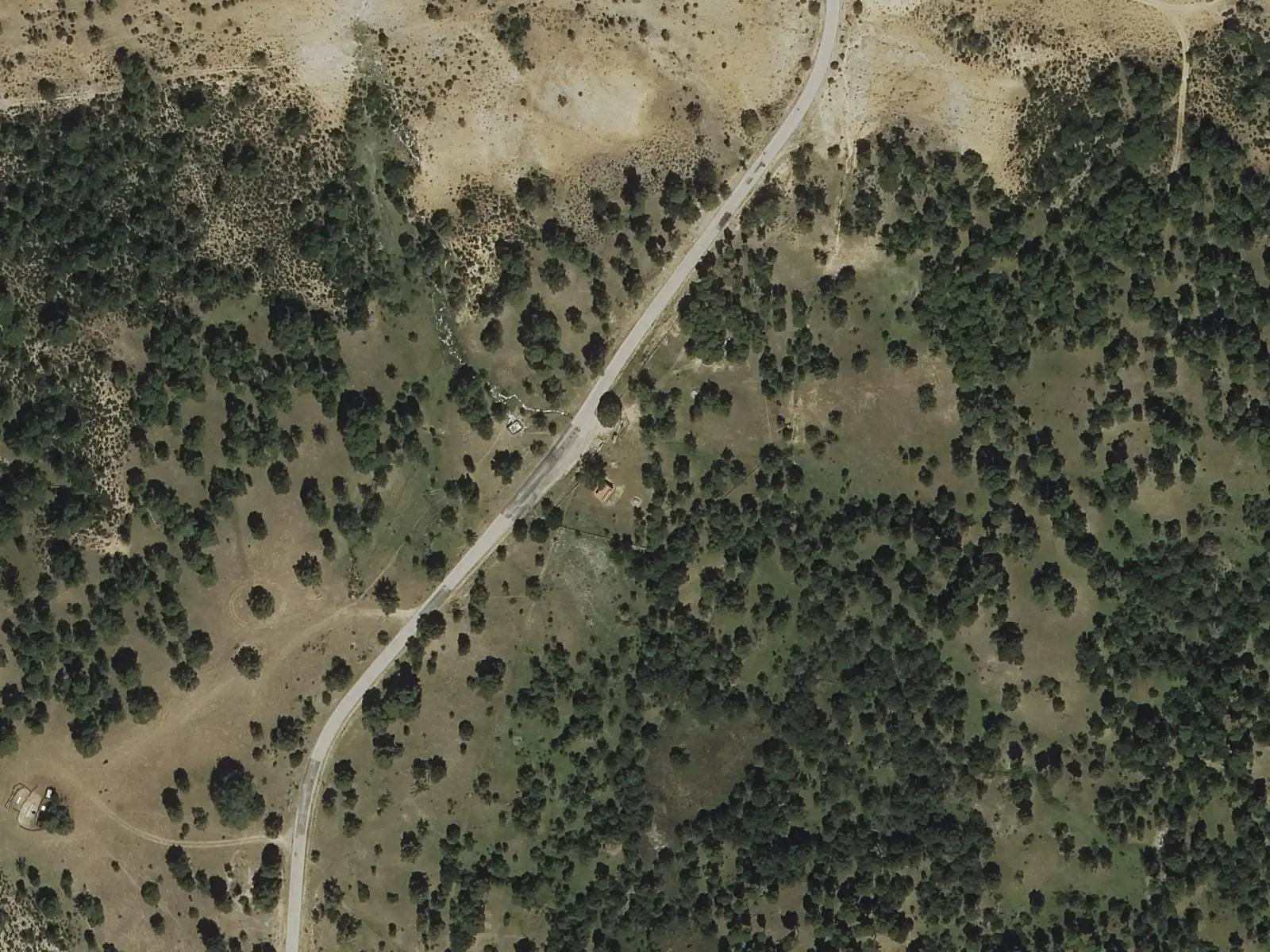
Fuente del Arenazo picnic area
Cuenca
Beamud viewpoint
Beamud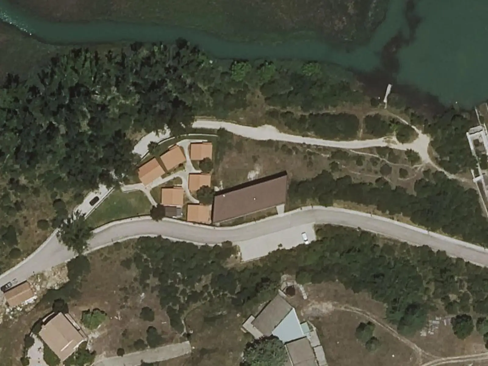
Uña Visitor Reception Centre
Uña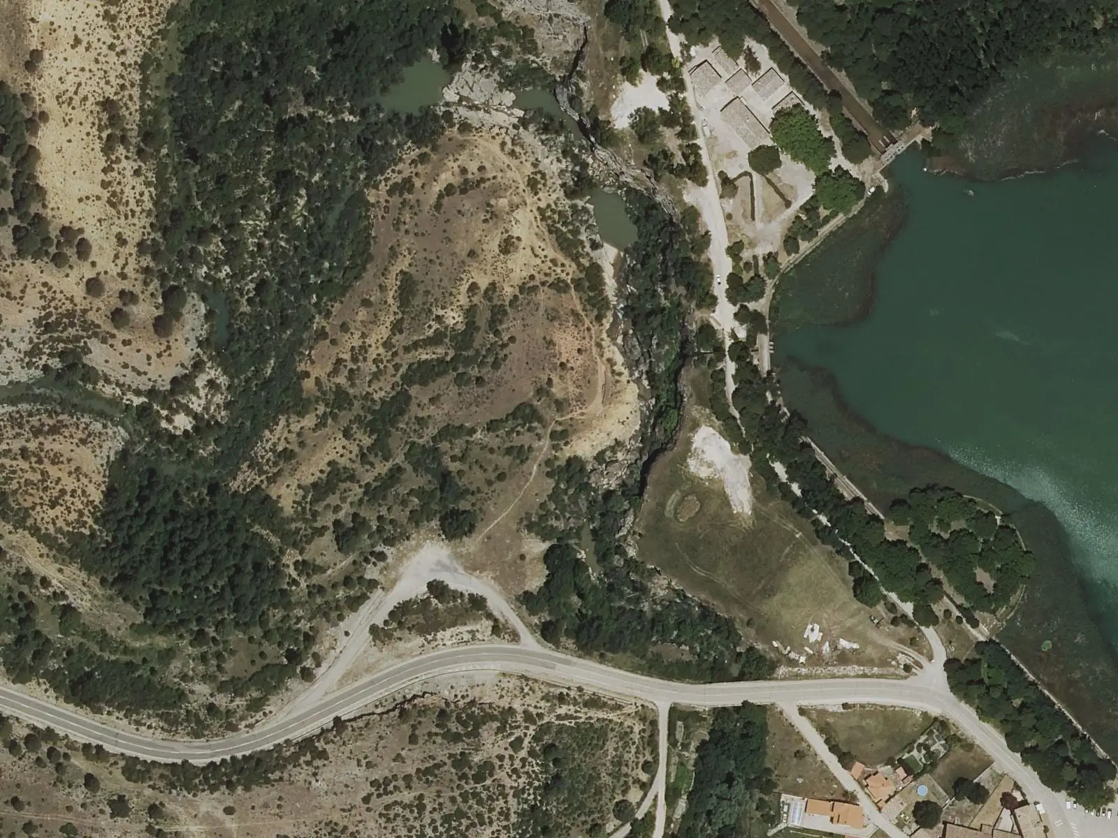
Travertino viewpoint, Uña
Uña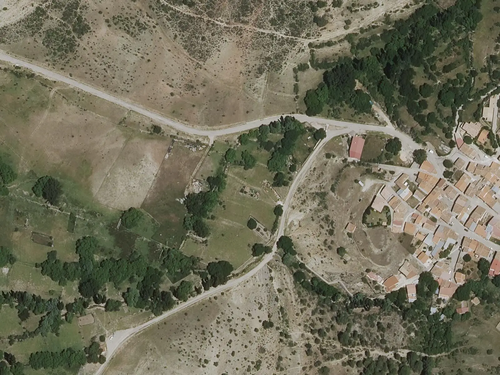
Fuente de los Pastores picnic area
BeamudPopulation of Fuentes, 1842–2021
Fuentes reached 1,350 inhabitants in 1930. The 2021 census counted 467, 65 % fewer. It is the story told in the emptying.
Climate in Fuentes month by month
Averages for the ten years from 2015 to 2024 from the ERA5 reanalysis (Copernicus), for a grid cell with a reference altitude of 1012 m. They are model estimates, not measurements from a local station or thirty-year climate normals.
Source: Copernicus ERA5 via Open-Meteo, CC BY 4.0. Retrieved: 2026-10-09.
Location
● Reference point · ● Villages · ● Places · ━ Routes nearby
Location sketch. The map with paths and names loads as you scroll to it.
Approximate position: village centre.
Reference villages: Cañada del Hoyo · Palomera · Reíllo · Cuenca.
Open the full map and its historical layers →Where the data on this page come from
- Location
- IGN: Nomenclátor Geográfico Básico de España, capital de municipio (CC BY 4.0) source consulted, 9 October 2026
- Municipality (INE code)
- Turismo Castilla-La Mancha source consulted, 4 October 2026
- Name
- Turismo Castilla-La Mancha source consulted, 4 October 2026
«Source consulted»: the primary source has been read. «Reference located»: the source has been identified but not yet read. «Open question»: the figure needs confirmation.
More about Fuentes, told from the village: Fuentes Town Council website.