Natural Monument
Palancares y Tierra Muerta Natural Monument
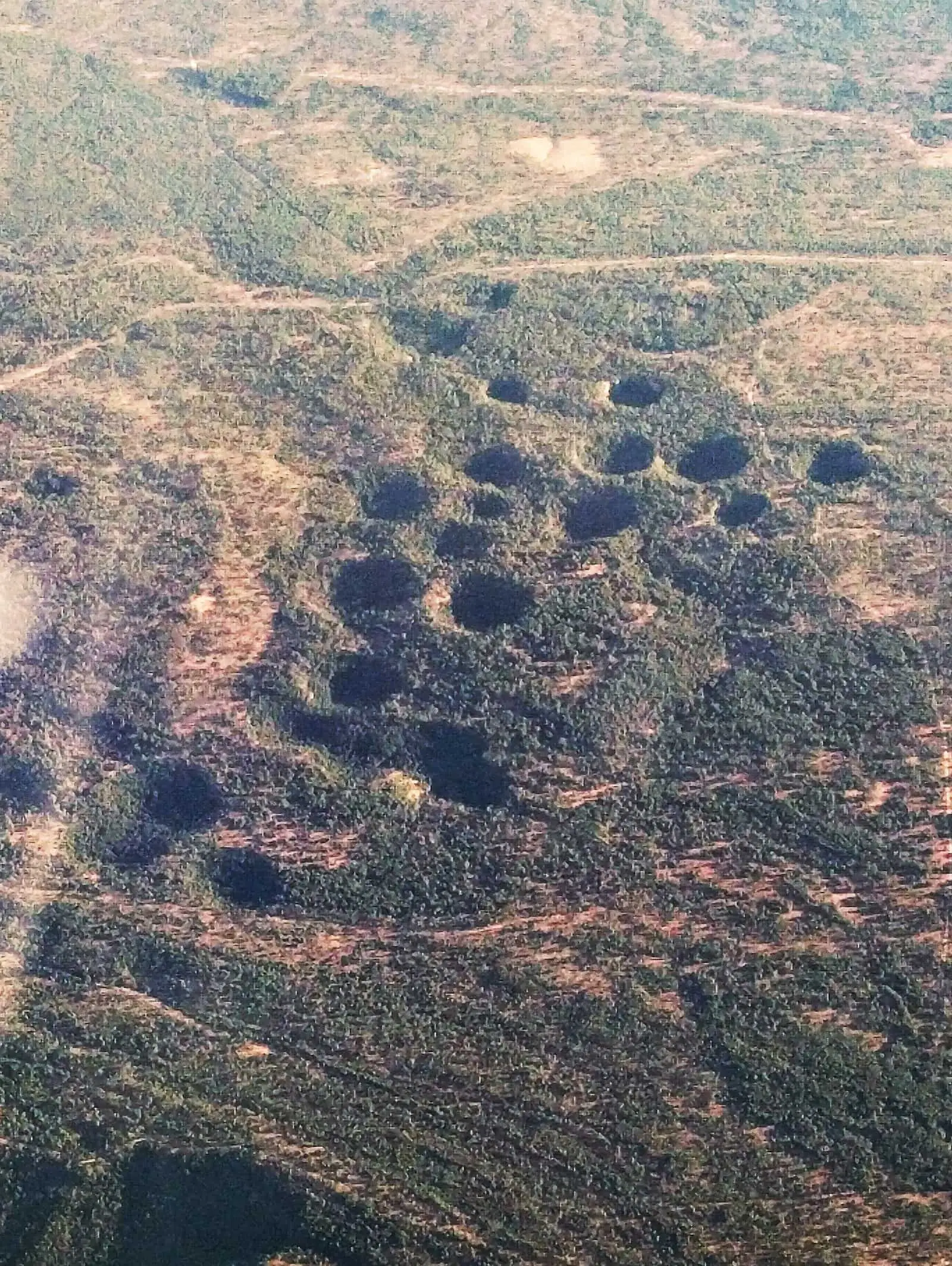
Palancares y Tierra Muerta is the largest Natural Monument in the Serranía de Cuenca: 18,436.63 hectares in Cuenca, La Cierva and Palomera, designated by Decree 2/2001. It includes the Torcas de los Palancares, with a Torca Larga about 450 m in diameter, and the pine forest of Tierra Muerta.
- Designation
- Natural Monument
- Legal basis
- Decreto 2/2001, de 16 de enero
- Area
- 18,436.63 ha
- Municipalities
- 3
- Natural Monument
- Palancares
- Tierra Muerta
- Torcas
- Karst
One of Spain’s great karst areas
This is one of the country’s most important karst complexes. It lies in the centre of the province and is divided between Cuenca, with 12,795 hectares, La Cierva, with 5,249, and Palomera, with 392. It occupies the Cretaceous Muelas de Palancares, flat-topped limestone hills, and the Jurassic paramera, high, open limestone plateau, of Tierra Muerta.
Torcas, shafts and a name
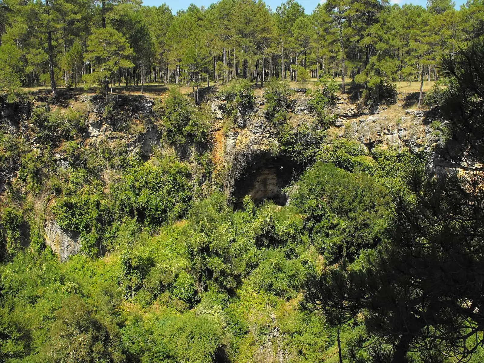
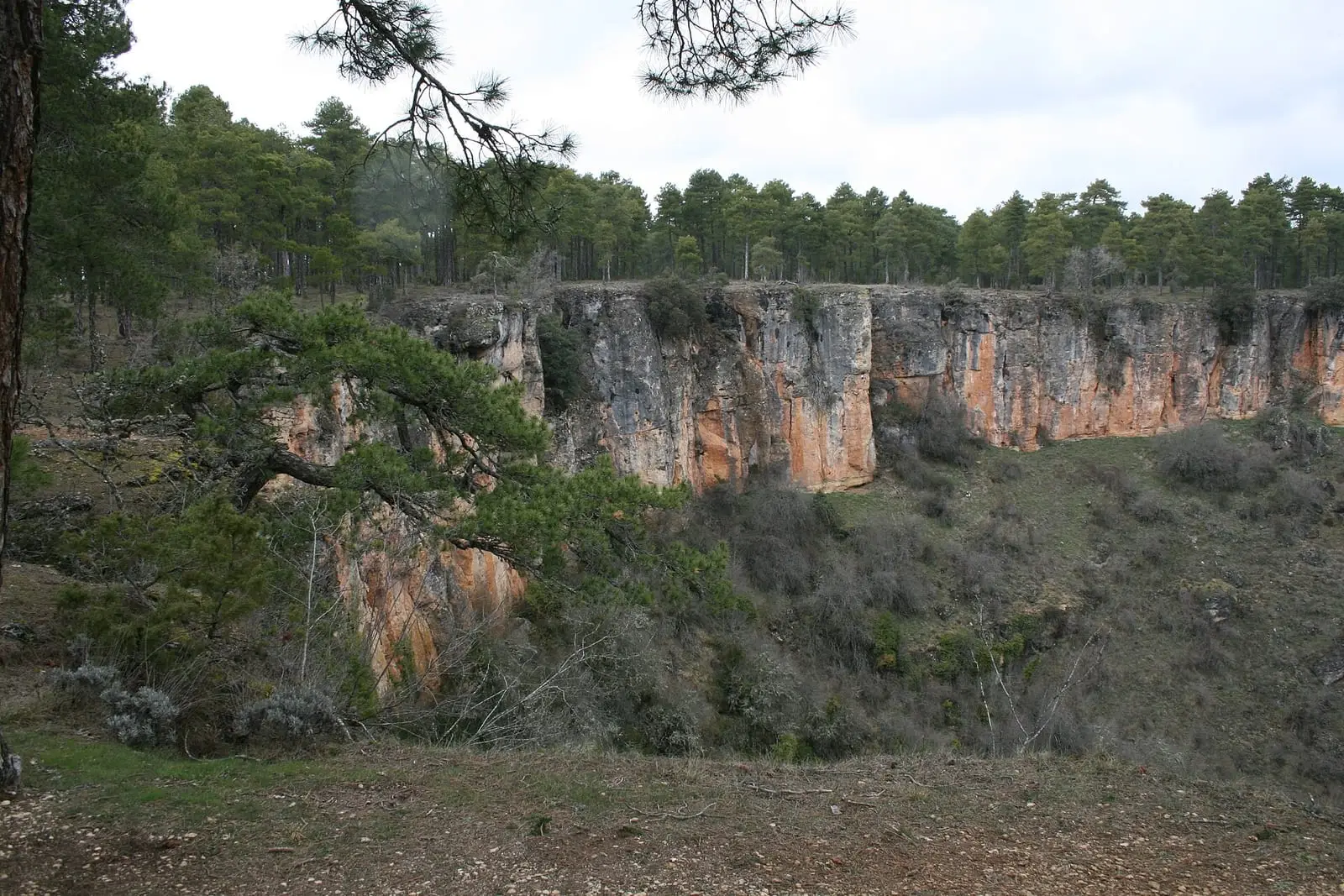
It has more than twenty torcas, collapse sinkholes, and dolines, as well as shafts, swallow holes and karren. Torcas form when limestone collapses over cavities opened by water underground; some exceed 100 metres across and all have names: De la Novia, Del Lobo, De los Avellanos, Aliagosa, Del Agua, Del Tío Agustín. Tierra Muerta is so named because almost all the rain filters underground and there are hardly any springs, despite high rainfall. The Torcas de los Palancares have their own entry.
A Cretaceous lake
Within it lies Las Hoyas, the bottom of an Early Cretaceous lake, with plants, insects, amphibians, crayfish, crocodiles, birds and dinosaurs. Its fossils include the birds Iberomesornis and Concornis, key to understanding how dinosaurs gave rise to birds, and Concavenator, a humped carnivore, the most complete found in Spain.
Junipers, pines and birds of prey
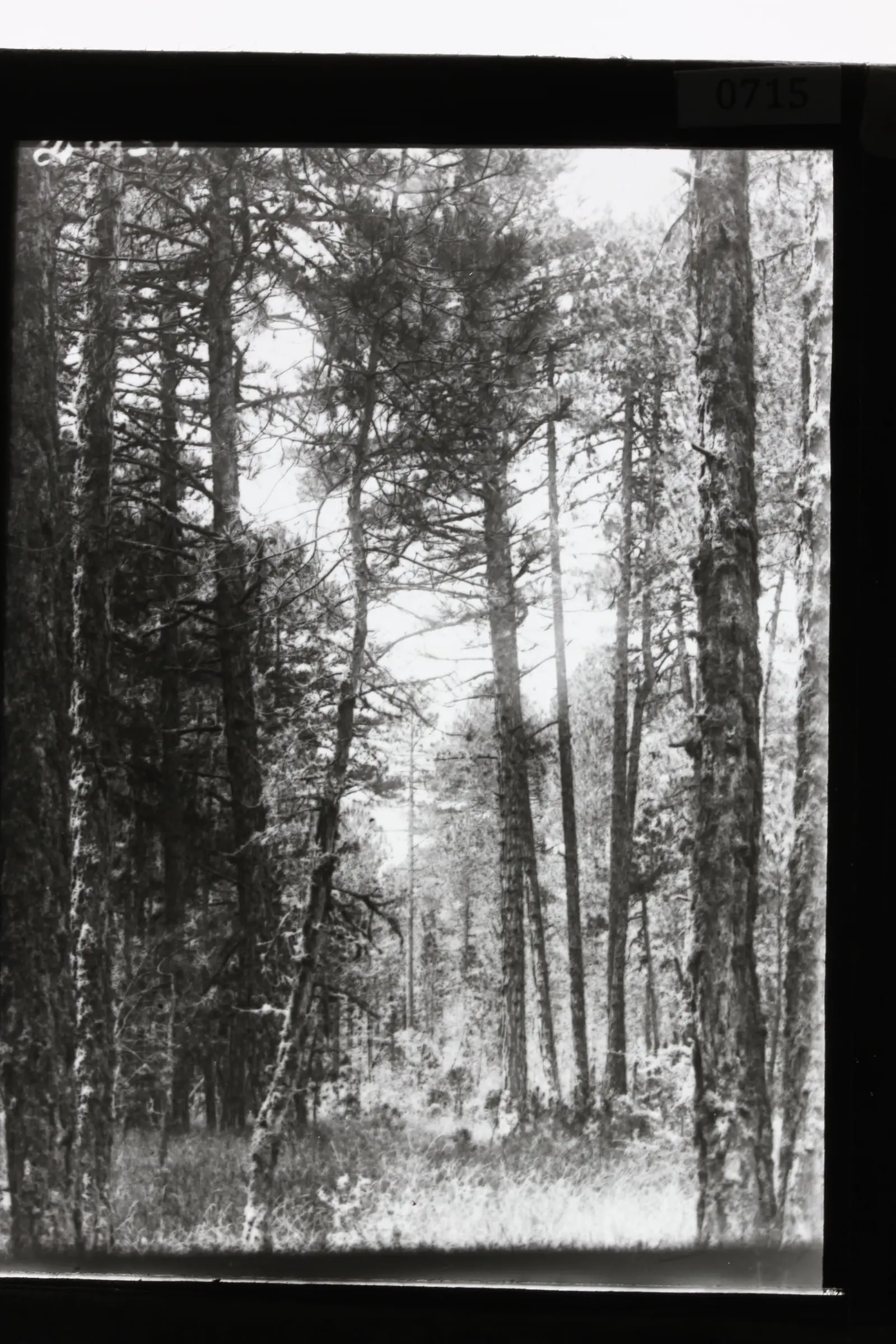
Spanish-juniper woods and black-pine forests dominate. There are named trees, such as the Pino Candelabro, the Pino Abuelo, a black pine estimated at more than 500 years old, standing so far above the rest that it attracts lightning, or the Pino del Tío Rojo, with a hollow at its base attributed to shepherds taking resinous splinters for lighting, and the Sabina Retratá. They were spared, it is said, because they provided shade and somewhere to leave belongings.
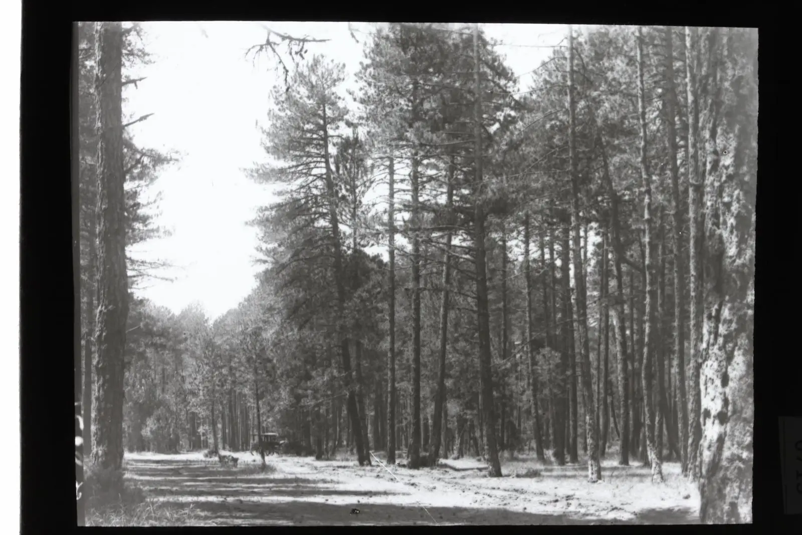
Near the Sumidero de Palancares, a pond holding water almost all year though drying out in very dry years, is a four-hectare Parcela de Reserva: a stand of pine forest where no timber has been extracted since 1894, set aside in 1989 as a record of how woodland develops untouched. It is a tall, dense pine forest, with pines about two hundred years old and over thirty metres high, Portuguese oaks and holm oaks among them, trees felled by lightning or snowfall, and deadwood inhabited by fungi and insects; light enters the gaps left by fallen trees and new woodland grows. Hawthorns and hazels grow in the shaded bottoms of some torcas, and on the cliffs are rock plants unique to these mountains. Golden eagles and falcons breed here; there are Cabrera’s voles, bats, the Spanish moon moth and a grasshopper found only in the Serranía, Steropleurus ortegai.
Cuenca’s woodland
Los Palancares is woodland belonging to Cuenca Town Council, said to have done so since the 15th century, and public-utility forest (monte de utilidad pública) since 1901 according to one source; another, ethnographer Tirso Moreno, refers to public-utility forest number 106 and a forest management project dating from 1894. These may be separate acts: the forest catalogue has yet to be checked. As early as 1873, geologists Cortázar and Botella described its torcas as collapses of limestone beds. The Cañada Real de la Cierva, a royal drove road, crosses it. The pine forest retains traces of those who guarded it: a fire lookout tower on high ground, with its cabin, and the ruins of the old forest warden’s house, whose dressed-stone corners can still be seen; nearby, the Fuente de la Peñuela, with its trough and the remains of a vegetable garden.
In 2023 the authors of the Catálogo Florístico de Cuenca described two plants new to science in these muelas: an armeria from the karren of the Ciudad Encantada, also reaching Guadalajara and Teruel, and Arenaria terramortensis, so far known only in one sector of Tierra Muerta, on soil they describe as rich in aluminium.
Near the Fábrica de Maderas and Los Palancares camp is the Fuente del Royo of Palancares (different from the one in Huerta del Marquesado), with three spouts; presenter Francisco Javier Rodríguez Laguía says he has never seen it dry. From it the path climbs beside a tiná, a livestock shelter, and descends along the shaded side of the Barranco de San Miguel to the rock-cut hermitage of Hortalén.
The Cotillas dehesa
In the municipality of Cuenca, about sixteen kilometres east of the city, the Dehesa de Cotillas is a public-utility forest of about 2,100 hectares. According to its technical manager in 2022, it belonged to private owners and an agricultural company that took out a loan from IRYDA and could not repay it, so the estate passed to that body; then to ICONA, was managed by Tragsa under a contract from 1991 to 2016 and has been managed directly by Parques Nacionales since 2017. It has about 800 hectares of holm-oak and Portuguese-oak woods, 750 of black and maritime pine, 350 of juniper woodland and about 150 of pasture, cleared for cattle fifty or sixty years ago and gradually being reclaimed by trees. Water filters through the limestone towards aquifers outside the estate, but on impermeable ground there are ponds that did not dry out even in summer 2022. Management involves pruning, pre-commercial thinning and commercial thinning, with help from the Prado de los Esquiladores fire crew. It is a closed estate: in 2022 entry was by permission only and opening it to visitors was under consideration.
A viaduct in the woods
At the start of the woodland, among fields, scrub and pine forest, stands the Viaducto del Royo, or De Palancares, on the Cuenca-Utiel railway, named after the nearby Fuente del Royo. According to guide Fernando Carreras it is about 240 metres long, with sixteen arches of twelve metres span and thirty metres height. Abandoned buildings beside the track are attributed to railway staff. No trains had run since January 2021, but the track remains railway property: do not walk along it or on the bridge.
Plan your visit
Before you travel
The rules are on the Protected Areas Network portal. The edges of the torcas are cliffs: keep away.
Combine with
The Ciudad Encantada, made of the same rock, and the lakes of Cañada del Hoyo.


From the archive
Frequently asked questions
How large is it?
18,436.63 hectares, spread across the municipalities of Cuenca, La Cierva and Palomera.
What are the Torcas de los Palancares?
Karst collapses. The Torca Larga is about 450 m in diameter and the Torca Honda about 50 m deep.
Carry on from here
Lands and landscapes
From here, follow the memory of the land
These readings connect Palancares y Tierra Muerta Natural Monument with the stories, the work and the villages around it.
Which municipalities it covers
Where the data on this page come from
- Name
- Junta de Castilla-La Mancha, Red de Áreas Protegidas: Monumento Natural Palancares y Tierra Muerta (ficha) source consulted, 5 October 2026
- Decreto 2/2001, de 16 de enero: Monumento Natural Palancares y Tierra Muerta (Junta de Comunidades de Castilla-La Mancha) reference located, 5 October 2026
- Designation and legal basis
- Junta de Castilla-La Mancha, Red de Áreas Protegidas: Monumento Natural Palancares y Tierra Muerta (ficha) source consulted, 5 October 2026
- Decreto 2/2001, de 16 de enero: Monumento Natural Palancares y Tierra Muerta (Junta de Comunidades de Castilla-La Mancha) reference located, 5 October 2026
«Source consulted»: the primary source has been read. «Reference located»: the source has been identified but not yet read. «Open question»: the figure needs confirmation.