Village · Cuenca
Buenache de la Sierra
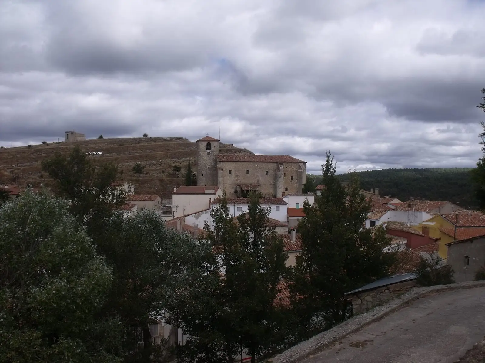
Buenache de la Sierra is a village in the Serranía Media (middle Serranía), about 18 km from the city of Cuenca, with a 15th- and 16th-century church whose Renaissance coffered ceiling is well preserved. It had 328 inhabitants in 1940 and 105 in 2021.
On this page 10 sections
A high, cold village
Buenache de la Sierra lies in the Serranía Media, about 18 km from Cuenca. It is a small, high village with long, snowy winters. Its streets give clear views of the mountain landforms, made of rock layers of different ages.
The 15th- and 16th-century church of La Asunción preserves a Renaissance coffered ceiling, a very well-preserved carved wooden roof.
A dependent village of Cuenca
Its beginnings are unknown, but in 1281 it already appears in a grant from Cuenca council, giving Ruy Fernández the territory of Cotillas, «cerca de Buenache, aldea de aquí de la villa» (near Buenache, a village dependent on this town). Historian Heliodoro Cordente explains the name through the many damp places in the municipality. Village life followed that of the whole district, one of the Mesta’s four centres: transhumant livestock, timber extraction and stone quarries.
The village has the Troncosaurios: log figures resembling dinosaurs and lizards that a local man has been making for more than thirty years. They are works of imagination, not fossils, and feature among the fifty places in 50 lugares mágicos de Cuenca (Ediciones Cydonia, 2023), by Miguel Ángel Linares and Sheila Gutiérrez.
In 1846 the town council was funded by leasing pastures, for 760 reales. The municipality’s grain was not enough to feed everyone all year, and the shortfall was bought in Cuenca.
Routes
The PR-CU 35, Sendero de Los Ceños short-distance trail ends here, arriving from Palomera via the source of the Huécar and the Cañada Real Conquense, a royal drove road.
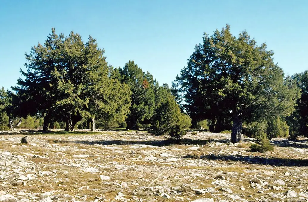
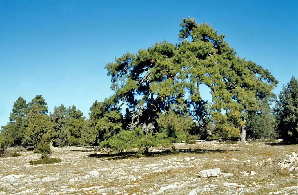
Between Buenache and Beamud, by the Prado de los Esquiladores, stands the Sabina Gorda or Sabinorro, a Spanish juniper estimated at about five hundred years old.
Plan your visit
A short stop: the church and a walk through the centre.
Before you travel
Ask the town council or parish when the coffered ceiling can be seen. Frost is frequent in winter and it may snow.
Combine with
From the archive
Frequently asked questions
What is there to see in Buenache de la Sierra?
The parish church of La Asunción, from the 15th and 16th centuries, whose Renaissance coffered ceiling stands out for its good condition, and views of the Serranía's landforms from the village.
How many people live there?
105 in the 2021 census, against a peak of 328 in 1940, according to the INE.
Carry on from here
The rivers, zones, eras, places and official routes that the atlas links with Buenache de la Sierra.
Lands and landscapes
From here, follow the memory of the land
These readings connect Buenache de la Sierra with the stories, the work and the villages around it.
Near Buenache de la Sierra
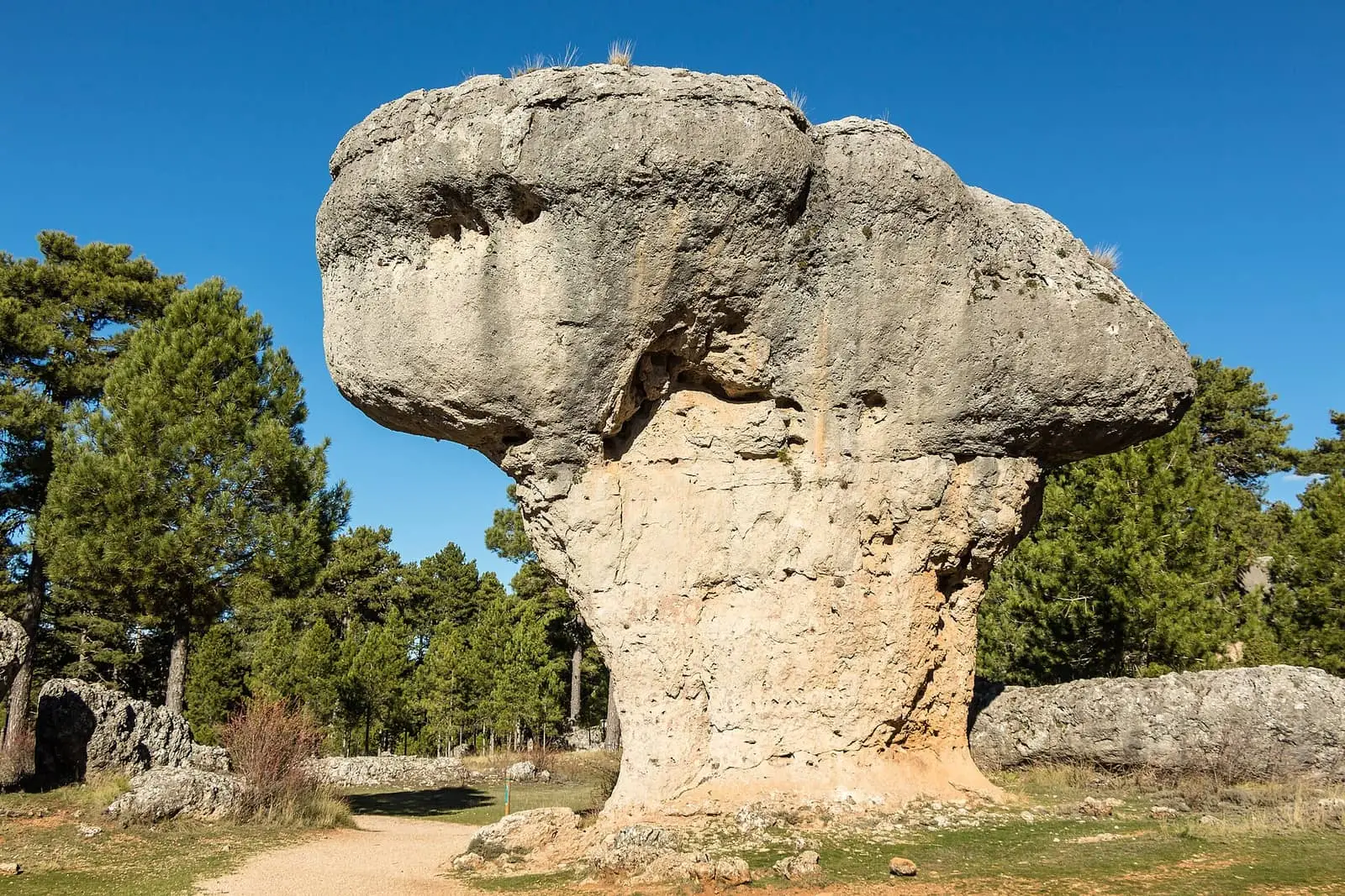
Ciudad Encantada de Cuenca
Cuenca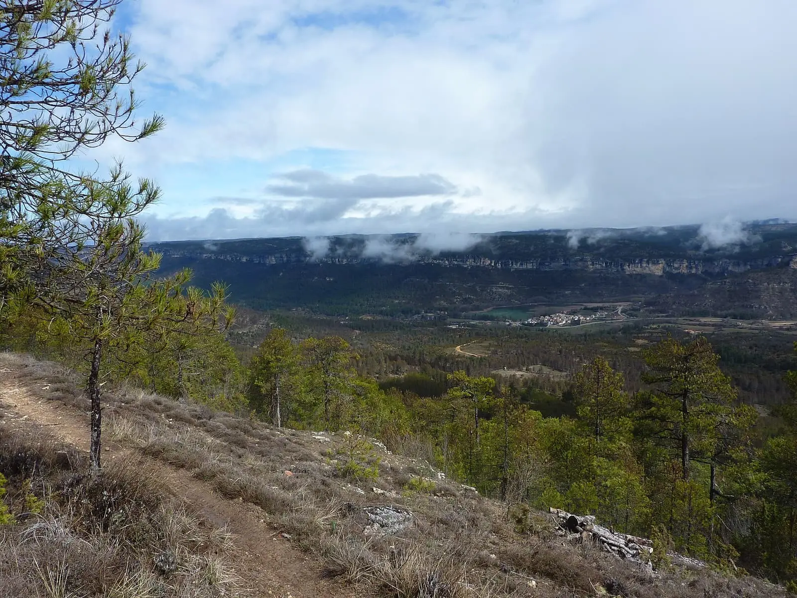
Uña viewpoint
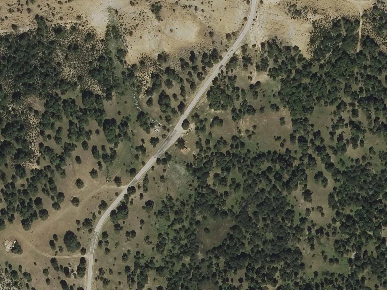
Fuente del Arenazo picnic area
CuencaSee 5 more
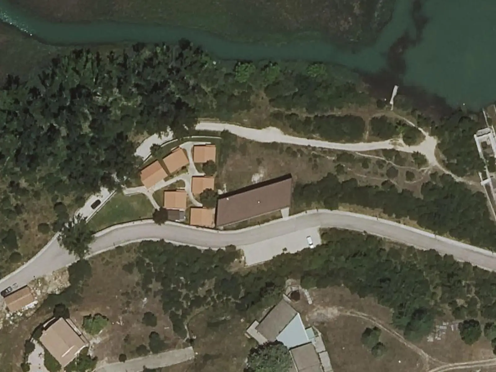
Uña Visitor Reception Centre
Uña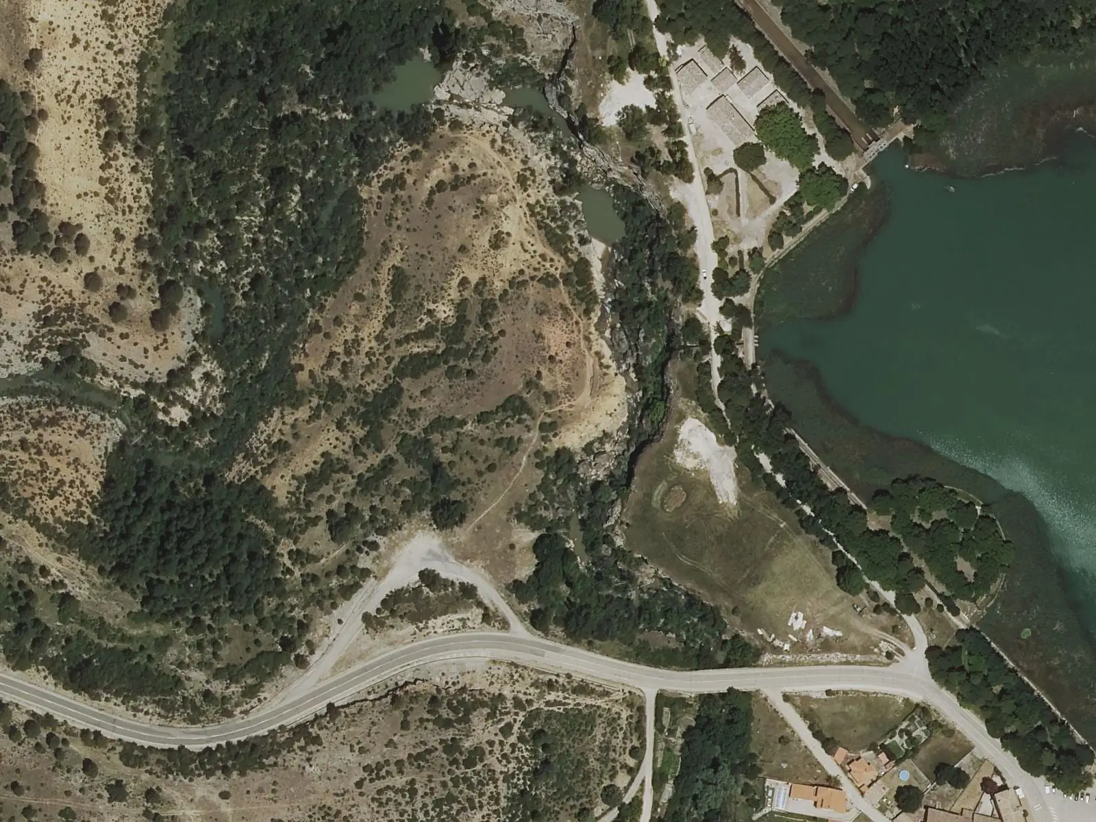
Travertino viewpoint, Uña
Uña
Laguna de Uña viewpoint
Uña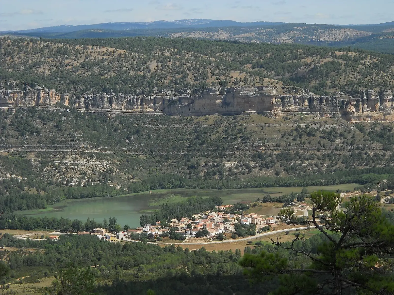
Laguna de Uña
Uña
Refrentón viewpoint
UñaPopulation of Buenache de la Sierra, 1842–2021
Buenache de la Sierra reached 328 inhabitants in 1940. The 2021 census counted 105, 68 % fewer. It is the story told in the emptying.
Climate in Buenache de la Sierra month by month
Averages for the ten years from 2015 to 2024 from the ERA5 reanalysis (Copernicus), for a grid cell with a reference altitude of 1293 m. They are model estimates, not measurements from a local station or thirty-year climate normals.
Source: Copernicus ERA5 via Open-Meteo, CC BY 4.0. Retrieved: 2026-10-09.
Location
● Reference point · ● Villages · ● Places · ━ Routes nearby
Location sketch. The map with paths and names loads as you scroll to it.
Approximate position: village centre.
Reference villages: Palomera · Uña · Cuenca · Mariana.
Open the full map and its historical layers →Where the data on this page come from
- Location
- IGN: Nomenclátor Geográfico Básico de España, capital de municipio (CC BY 4.0) source consulted, 9 October 2026
«Source consulted»: the primary source has been read. «Reference located»: the source has been identified but not yet read. «Open question»: the figure needs confirmation.
More about Buenache de la Sierra, told from the village: Buenache de la Sierra Town Council website.