Route · Villar de Domingo García
PR-CU 41: Sendero de la fuente del Gallo
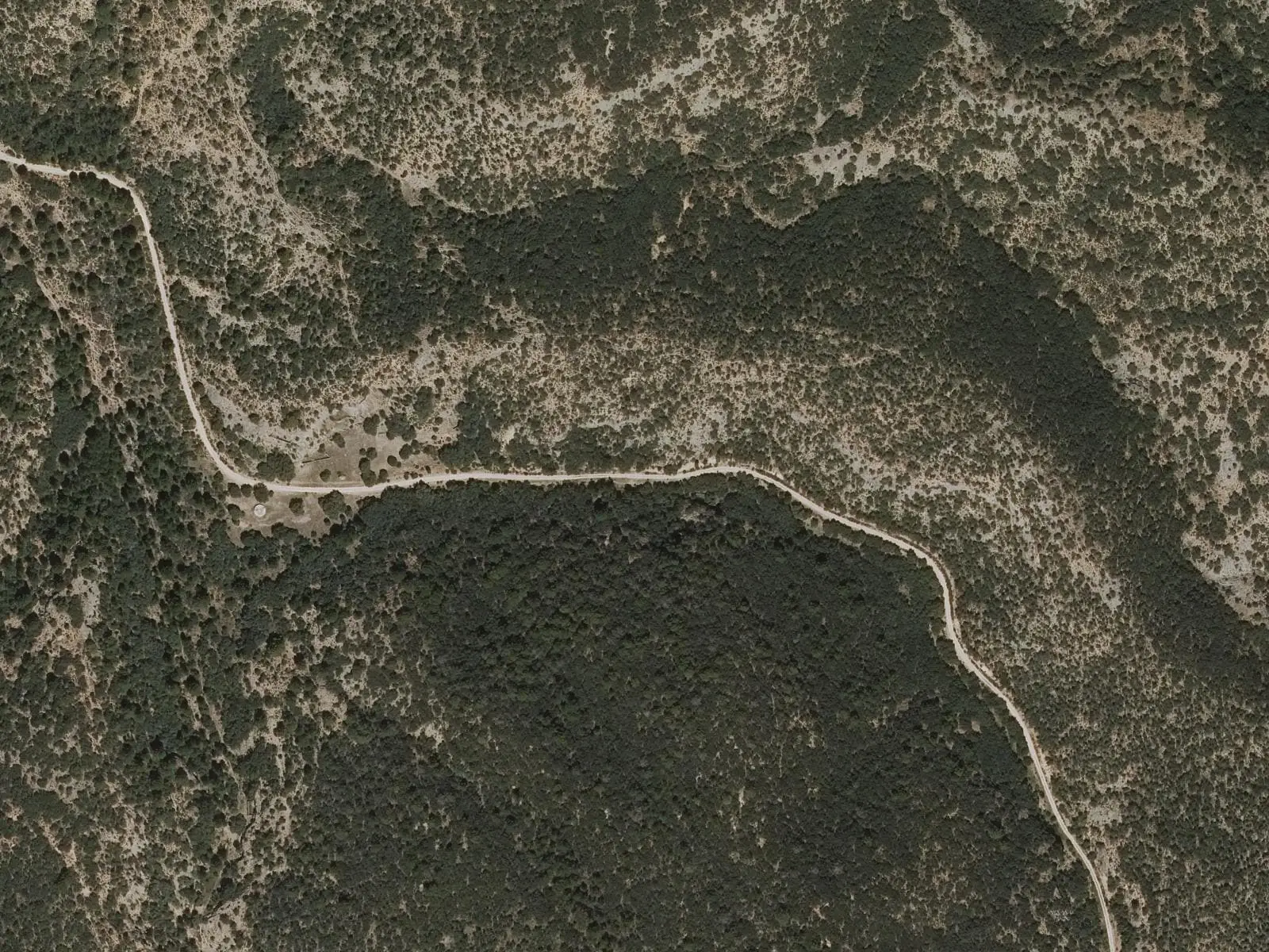
PR-CU 41, Sendero de la fuente del Gallo, is an easy circular short-distance trail of 13 km and 316 m of accumulated elevation gain, starting in Villar de Domingo García. It crosses olive groves, the Cascajares valley fields and old stock folds at El Corchillo, climbing to Cabeza Serranos, a viewpoint over La Alcarria.
- Code
- PR-CU 41
- Distance
- 13 km
- Elevation gain
- 316 m
- Time
- 3 h
- Layout
- Circular
- Difficulty
- Easy
Walking time without travel or stops. Difficulty as graded by the official source. «Easy» does not mean accessible.
- PR-CU 41
- Villar de Domingo García
- Alcarria
Where to start
In Villar de Domingo García, along Camino de la Sierra.
The route
It crosses fields and olive groves to Los Cascajares, former irrigated valley fields and vineyards. It passes a viewpoint and continues among holm oaks to El Corchillo, where old majadas, stock folds, use the hillside’s rock walls. A track climbs to Cabeza Serranos, at 1,170 m, overlooking the Alcarria, and the long descent passes Santo Tomás hermitage.
Difficulty and time
Circular, 13 km and 316 m of elevation gain, 2 to 4 hours. Easy, with a short variant.
Before you set out
It can be walked all year. The village has only basic facilities. Its other route is PR-CU 48.
Official route · Federación de Deportes de Montaña de Castilla-La Mancha y Diputación de Cuenca (Senderos de Cuenca) (PR-CU 41). Description, track and notices on the official route page (in Spanish). Before you set out, check there for changes or closures.
Frequently asked questions
How long does it take?
Between 2 and 4 hours. There is a shorter variant.
What is the highest point?
Cabeza Serranos, at 1,170 m, overlooking La Alcarria; the minimum altitude is 939 m.
Carry on from here
Where it is
● Villages · ● Places · ━ Simplified official route
Location sketch. The map with paths and names loads as you scroll to it.
Reference villages: Villar de Domingo García · Sotorribas · Zarzuela · Mariana.
Open the full map and its historical layers →Where the data on this page come from
- Name
- Federación de Deportes de Montaña de Castilla-La Mancha (FDMCM) / Senderos de Cuenca source consulted, 10 October 2026
- Municipality (INE code)
- Federación de Deportes de Montaña de Castilla-La Mancha (FDMCM) / Senderos de Cuenca source consulted, 10 October 2026
- Route data
- Federación de Deportes de Montaña de Castilla-La Mancha (FDMCM) / Senderos de Cuenca source consulted, 10 October 2026
«Source consulted»: the primary source has been read. «Reference located»: the source has been identified but not yet read. «Open question»: the figure needs confirmation.