Village on the edge of the Serranía · Cuenca
Villar de Domingo García
Villar de Domingo García is a village in western Cuenca province, on the Serranía's edge, with the Roman villa of Noheda in its municipality: a 231.62 m² figured mosaic dating between the 1st century BC and 6th century AD. It reached 885 inhabitants in 1930 and had 212 in 2021.
On this page 7 sections
A village at the edge of the mountains
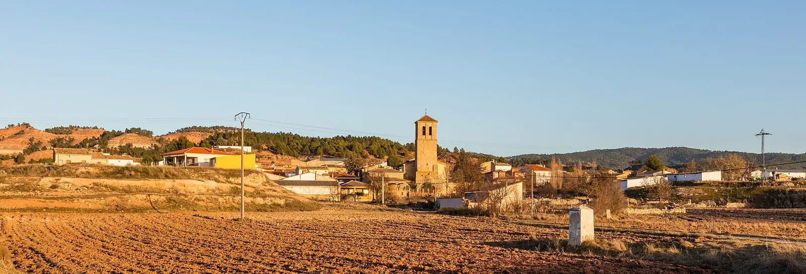
Villar de Domingo García lies in the west of the province, on the Serranía’s edge. Its municipality has grown: it incorporated Villalvilla in the 19th century and Sacedoncillo in the 1970s. And it has a hamlet with a place of its own in Spanish archaeology: Noheda.
The village stands on the boundary between the Alcarria and the Serranía, beside the Guadamejud river source and at the foot of the Sierra de Bascuñana. The Asunción church rises above the houses. On the outskirts, along a hillside beside the Rebollillo path, more than 120 cave cellars were cut into hard rock: the temperature stays constant inside, and wine was made and stored there. Many are now abandoned or collapsed.
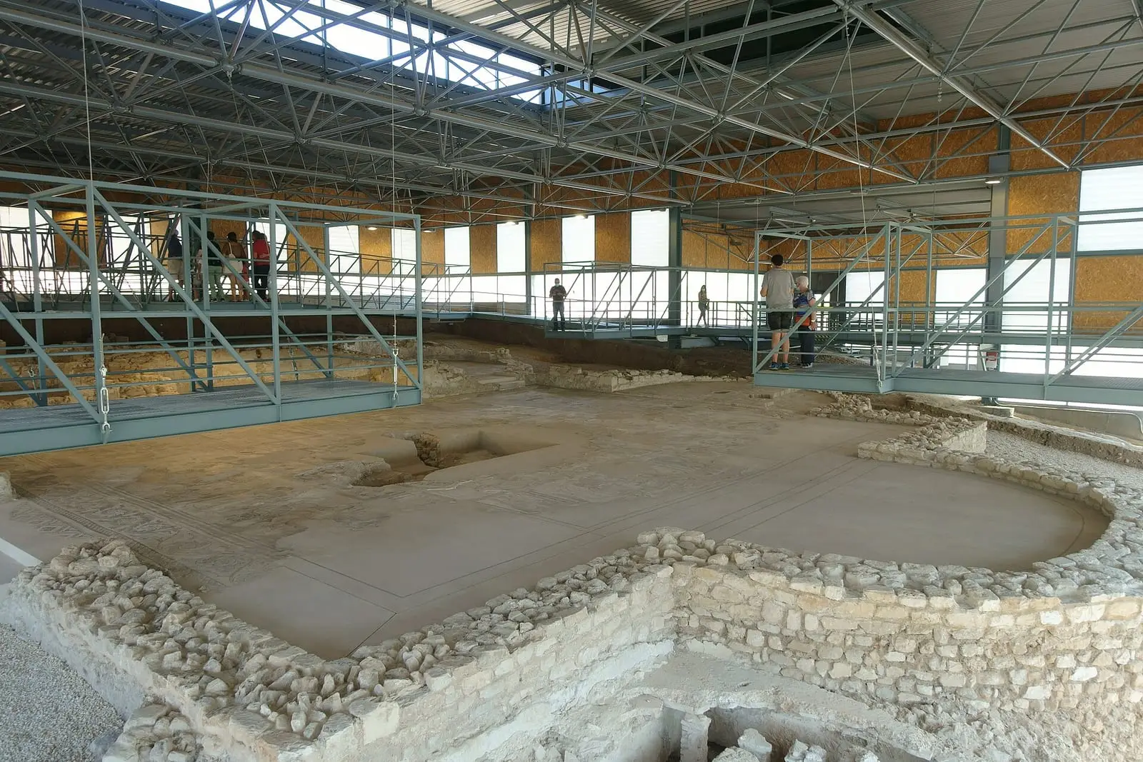
The Roman villa of Noheda
About 500 metres from Noheda stands the Roman villa of Noheda, inhabited between the 1st century BC and 6th century AD. It preserves a 231 m² figured mosaic, almost entirely of tiny tesserae. In 2020, 420 of its glass tesserae were analysed: almost all are recycled Roman glass, common in the 4th century, and a few derive from Egyptian raw materials.
Within the municipality is Villalbilla, an abandoned village almost entirely in ruins. The person documenting it attributes this to distant water, farmland unable to support every family, Cuenca’s proximity as a destination and the stripping of empty houses. Do not enter: these are private properties and ruins.
In the hamlet of Noheda, which once had about two hundred residents and now barely fifteen registered, the villa has brought cars, coaches and students. Older people say they knew of the mosaic fifty or sixty years ago, long before excavation.
Plan your visit
Noheda is the reason for the journey. Before going, check that the site admits visitors.
Before you travel
Ask the regional Culture department or town hall about opening times and visiting conditions.
Combine with
Zarzuela and Mariana are about 14 km away in a straight line, already in the mountains.
Frequently asked questions
What is the Roman villa of Noheda?
A Roman site about 500 m north-west of the hamlet of Noheda. The regional Culture department dates it between the 1st century BC and 6th century AD and describes a surviving figured mosaic of 231.62 m².
What has been discovered about its tesserae?
An archaeometric study published in 2020 analysed 420 glass tesserae from the mosaic. The authors mainly identify recycled mixed-base Roman glass, indicating that reuse was common in the 4th century, and a subset consistent with Egyptian raw materials.
How many inhabitants does Villar de Domingo García have?
212 in the 2021 census. Its peak was 885 in 1930, according to the INE.
Carry on from here
The rivers, zones, eras, places and official routes that the atlas links with Villar de Domingo García.
Traces in the village and around it
Which eras you can read here
A single place can keep traces of several periods. These layers connect what you see with the atlas's stories.
Places in the municipality and around it
Official routes
Near Villar de Domingo García
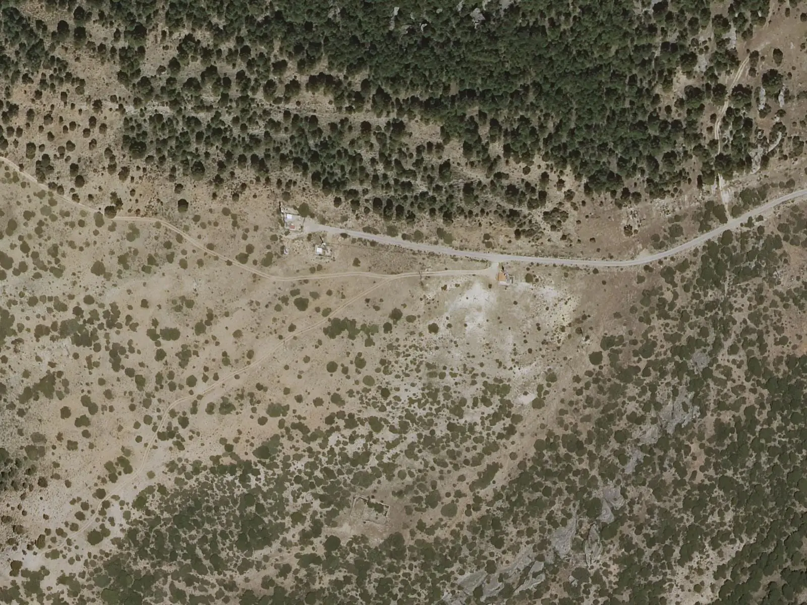
Piedra Yunque
Villalba de la Sierra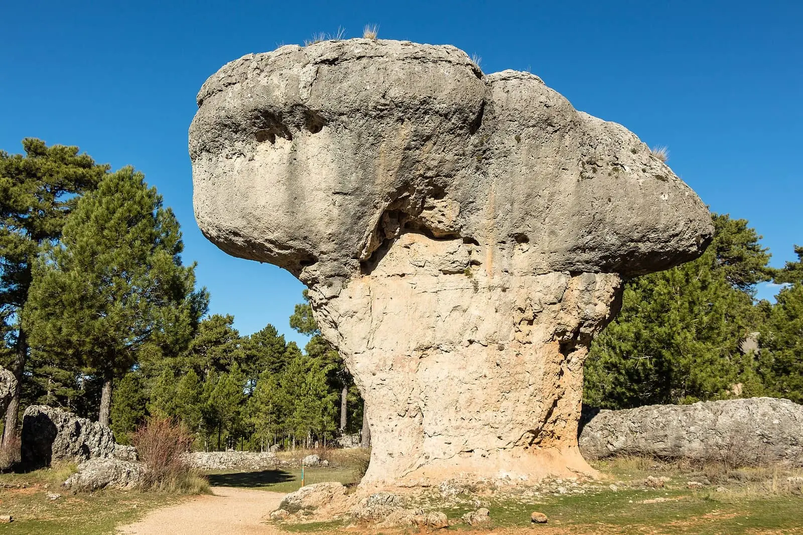
Ciudad Encantada de Cuenca
Cuenca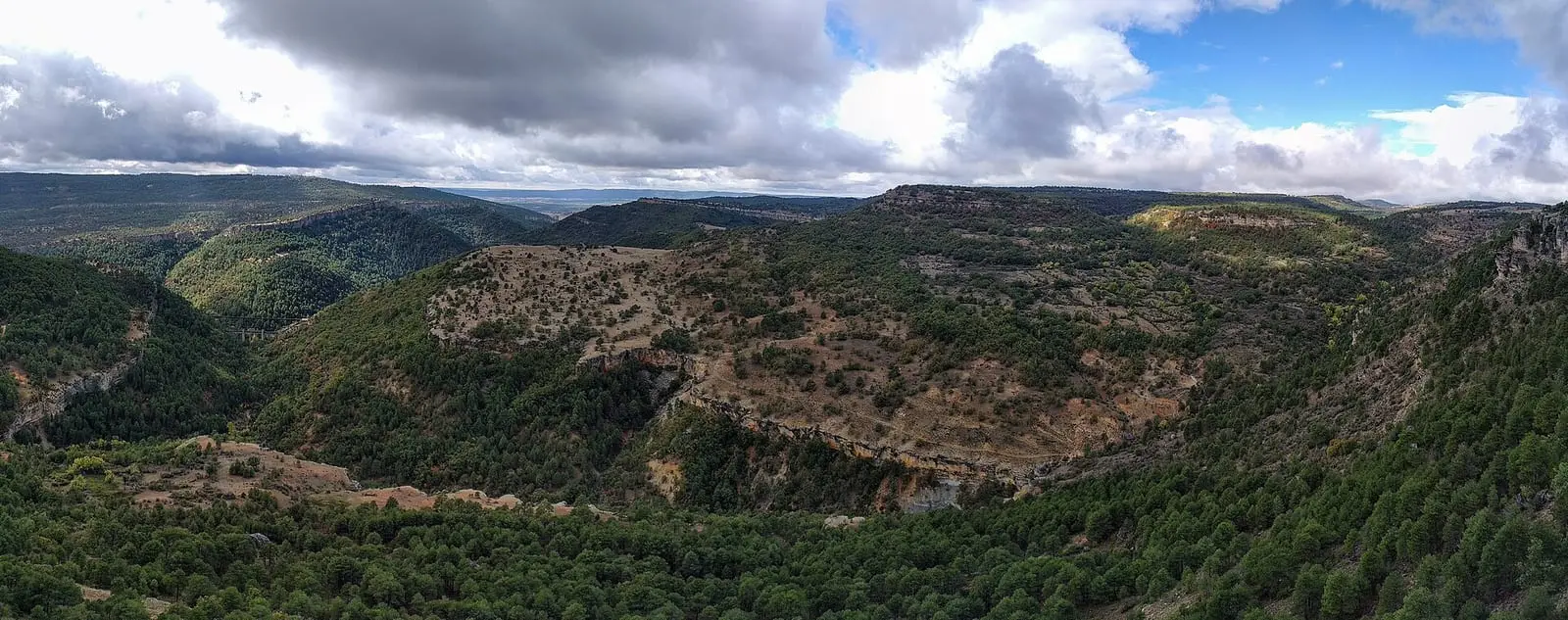
Tío Cogote viewpoint
Las MajadasSee 5 more
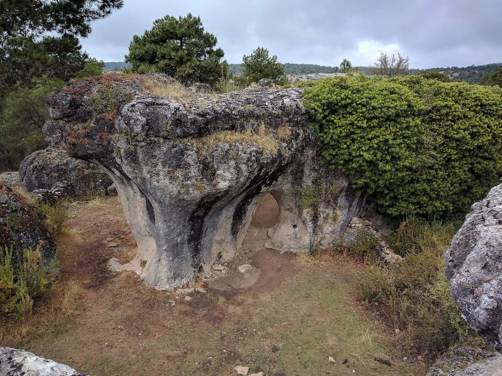
Callejones de Las Majadas
Las Majadas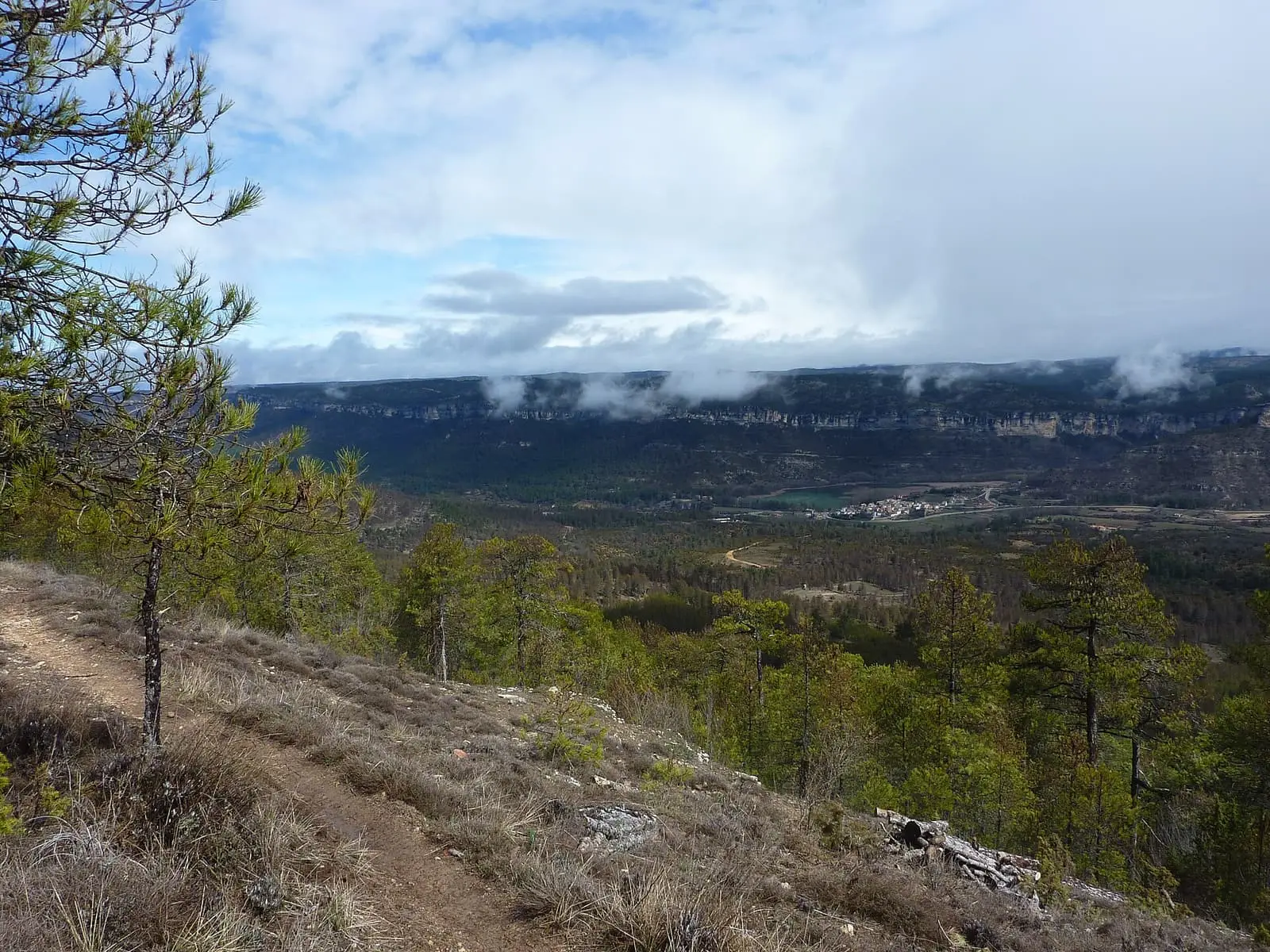
Uña viewpoint
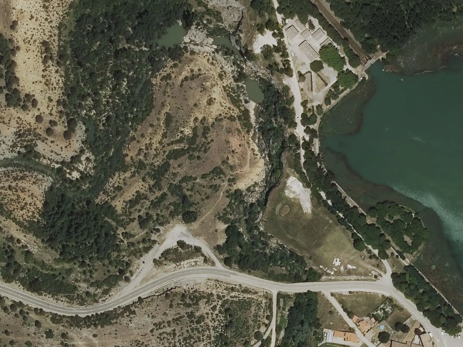
Travertino viewpoint, Uña
Uña
Las Librerías viewpoint
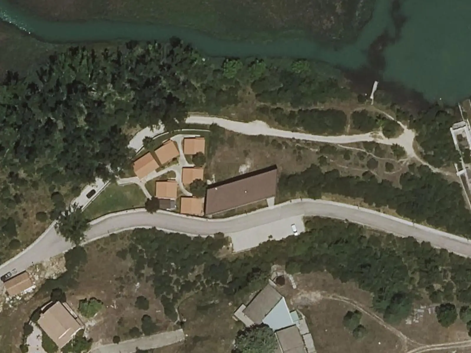
Uña Visitor Reception Centre
UñaPopulation of Villar de Domingo García, 1842–2021
Villar de Domingo García reached 885 inhabitants in 1930. The 2021 census counted 212, 76 % fewer. It is the story told in the emptying.
Location
● Reference point · ● Villages · ● Places · ━ Routes nearby
Location sketch. The map with paths and names loads as you scroll to it.
Approximate position: village centre.
Reference villages: Sotorribas · Zarzuela · Mariana · Villalba de la Sierra.
Open the full map and its historical layers →Where the data on this page come from
- Location
- IGN: Nomenclátor Geográfico Básico de España, capital de municipio (CC BY 4.0) source consulted, 9 October 2026
«Source consulted»: the primary source has been read. «Reference located»: the source has been identified but not yet read. «Open question»: the figure needs confirmation.