Route · Villar de Domingo García
PR-CU 48: De la Alcarria a la Sierra
PR-CU 48, De la Alcarria a la Sierra, is a circular short-distance trail of 20 km and 510 m of elevation gain, of moderate difficulty and 4 to 6 hours, starting in Villar de Domingo García. It crosses the Alcarria fields and abandoned houses of Villalbilla, climbs through Sierra de Bascuñana and reaches Cerro Pelado's summit.
- Code
- PR-CU 48
- Distance
- 20 km
- Elevation gain
- 510 m
- Time
- 5 h
- Layout
- Circular
- Difficulty
- Moderate
Walking time without travel or stops. Difficulty as graded by the official source. «Easy» does not mean accessible.
- PR-CU 48
- Villar de Domingo García
- Sierra de Bascuñana
Where to start
In Villar de Domingo García, beyond Puente Grande.
The route
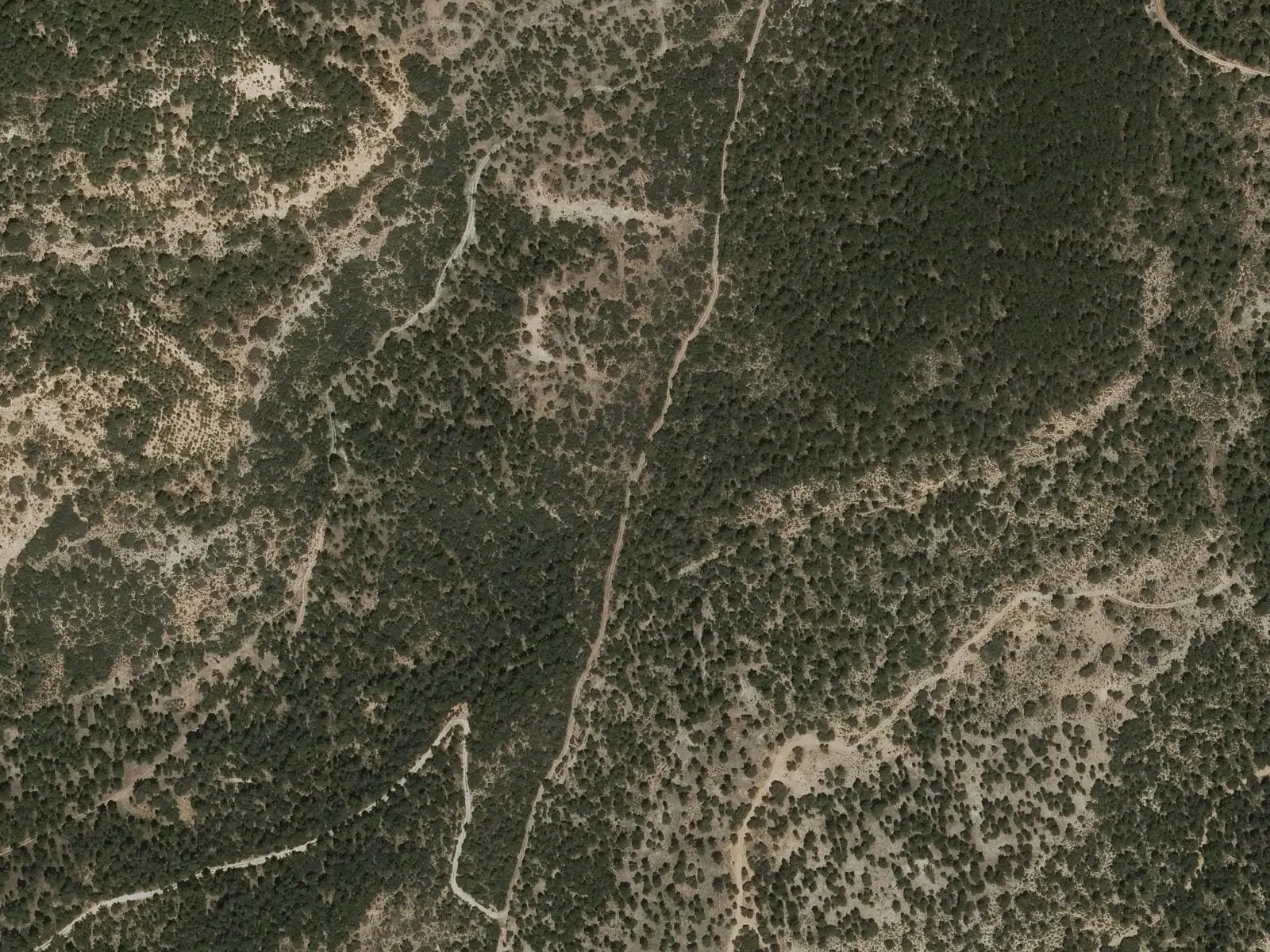
It goes from the Alcarria fields to the mountains. It heads west among farmland and passes Villalbilla, an abandoned hamlet. It turns south-east to the N-320, crosses it and reaches Sacedoncillo. It climbs through the Sierra de Bascuñana, among increasingly dense holm-oak woods, summits Cerro Pelado and enters pine forest before circling Cabeza Serranos. The final forest-track section enters the village beside the Cuenca road.
Difficulty and time
Circular, 20 km and 510 m of elevation gain, 4 to 6 hours. Moderate difficulty.
Before you set out
Take care crossing the N-320. Carry the GPX route. The village’s other route is PR-CU 41.
Official route · Federación de Deportes de Montaña de Castilla-La Mancha y Diputación de Cuenca (Senderos de Cuenca) (PR-CU 48). Description, track and notices on the official route page (in Spanish). Before you set out, check there for changes or closures.
Frequently asked questions
Is there a dangerous crossing?
Yes, the N-320: the entry calls for particular care when crossing it.
What can be seen?
Villalbilla's abandoned houses, Sacedoncillo neighbourhood, increasingly dense holm-oak woods, Cerro Pelado and pine forest to Cabeza Serranos.
Carry on from here
Where it is
● Villages · ● Places · ━ Simplified official route
Location sketch. The map with paths and names loads as you scroll to it.
Reference villages: Villar de Domingo García · Sotorribas · Zarzuela · Mariana.
Open the full map and its historical layers →Where the data on this page come from
- Name
- Federación de Deportes de Montaña de Castilla-La Mancha (FDMCM) / Senderos de Cuenca source consulted, 10 October 2026
- Municipality (INE code)
- Federación de Deportes de Montaña de Castilla-La Mancha (FDMCM) / Senderos de Cuenca source consulted, 10 October 2026
- Route data
- Federación de Deportes de Montaña de Castilla-La Mancha (FDMCM) / Senderos de Cuenca source consulted, 10 October 2026
«Source consulted»: the primary source has been read. «Reference located»: the source has been identified but not yet read. «Open question»: the figure needs confirmation.