Village · Cuenca
Mariana
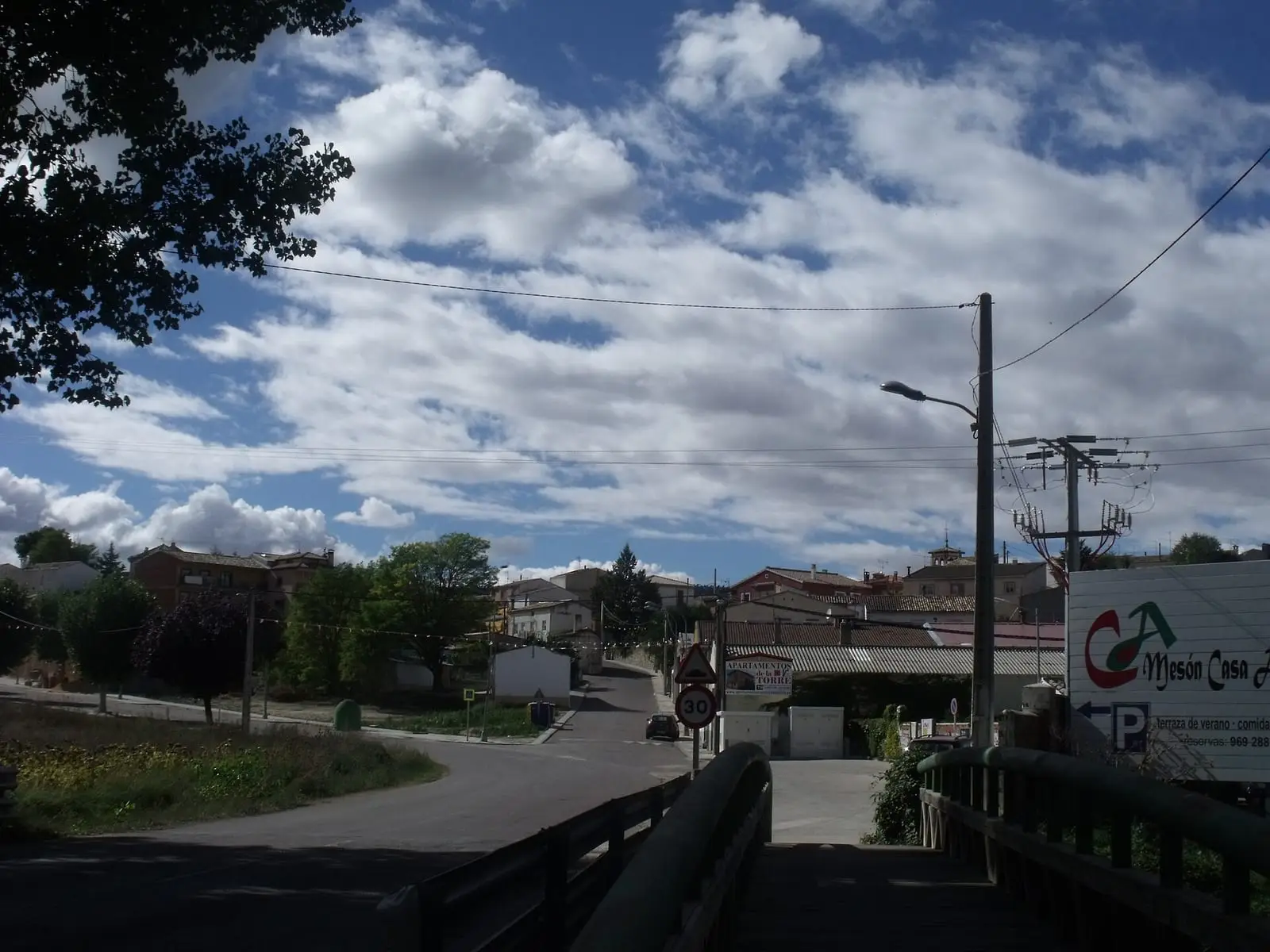
Mariana is a village in Serranía Media (middle Serranía), about 10 km from the provincial capital. Its San Pedro church preserves the Romanesque structure of Christian resettlement. It had 532 inhabitants in 1950 and 306 in 2021, gaining 19 residents between 2011 and 2021.
On this page 11 sections
Between the provincial capital and the mountains
Mariana lies in Serranía Media (middle Serranía), a few kilometres from Cuenca, where arable fields begin to give way to wooded hills of pine and limestone. From here the road climbs to the Natural Park, Ciudad Encantada or Laguna de Uña. It is less cold than the mountains. Unlike almost all mountain villages, it has maintained its population over the last thirty years.
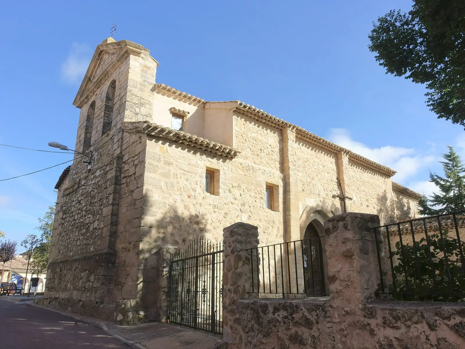
The 13th-century church of San Pedro is one of the resettlement churches and preserves almost all its Romanesque plan: a nave with a semicircular apse, bell gable at the west end and two doorways facing one another.
Mariana’s wool-washing works
In the 18th century Mariana had a wool-washing works, near that of Villalba de la Sierra. It belonged to Baltasar Pedro del Castillo Frías Jaraba, a hereditary Cuenca councillor and major livestock owner.
The Mariana river and its woodland
The Mariana river rises north of Zarzuela and flows into the Júcar beside El Chantre, between the Mariana and Sotos pastures. On sandy soils, the woodland mixes maritime pine with Spanish junipers, common junipers, holm oaks and Portuguese oaks, with gum rockrose and heather below: fine heather branches were made into brooms and its hard wood into charcoal. Resin tapping has resumed in the pine forest in recent years. The Cuenca and Rodrigo Ardaz drove roads pass through the municipality.
La Torre dam
Between Mariana and Villalba, the Júcar pools behind La Torre dam, which diverts water along a channel to a small power station; according to guide Fernando Carreras, the station takes its name from a tower on its own building. In 2021 the track was closed by a chain and used by workers. Downstream, stone partitions slow the current. Poplars, willows and alders line the banks alongside holm oaks and pines, with herons, ducks and cormorants on the water. Beside the road, a statue of a shepherd on a seasonal livestock journey recalls the drove road.
The Chantre bridge
Near Mariana, on the way to Cuenca, the Júcar is crossed by the Chantre bridge, with a single round arch. Locally it is said to be Roman, but popular-history writer Francisco Javier Rodríguez Laguía of the CuenCANP association rejects this: the arch does not date it. He links it to the passage of people, livestock, carts and tithes towards the city, and its name to Nuño Álvarez de Fuente Encalada, a 16th-century cleric. The chantre was the cathedral chapter dignitary who directed the choir. Neither the construction nor its use to collect tithes is documented here. In the surrounding pine woods, a black pine with five large branches resembling separate trees is known as the Quinto Pino.
Plan your visit
The church and village centre take a short time to see.
Before you travel
Ask the town hall or parish when the church opens.
Combine with
Villalba de la Sierra is 9 km away in a straight line and Cuenca 10 km.
Frequently asked questions
Which church does Mariana have?
San Pedro, built in the 13th century as part of the Christian resettlement of the late 12th century. It largely preserves its Romanesque structure: a single nave, semicircular apse, bell gable at the west end and two opposing doorways, one south and one north.
How many inhabitants does Mariana have?
306 in the 2021 census. Its peak was 532 in 1950, according to the INE.
Carry on from here
The rivers, zones, eras, places and official routes that the atlas links with Mariana.
Lands and landscapes
From here, follow the memory of the land
These readings connect Mariana with the stories, the work and the villages around it.
Places in the municipality and around it
Near Mariana
Roman villa of Noheda
Villar de Domingo García
Piedra Yunque
Villalba de la Sierra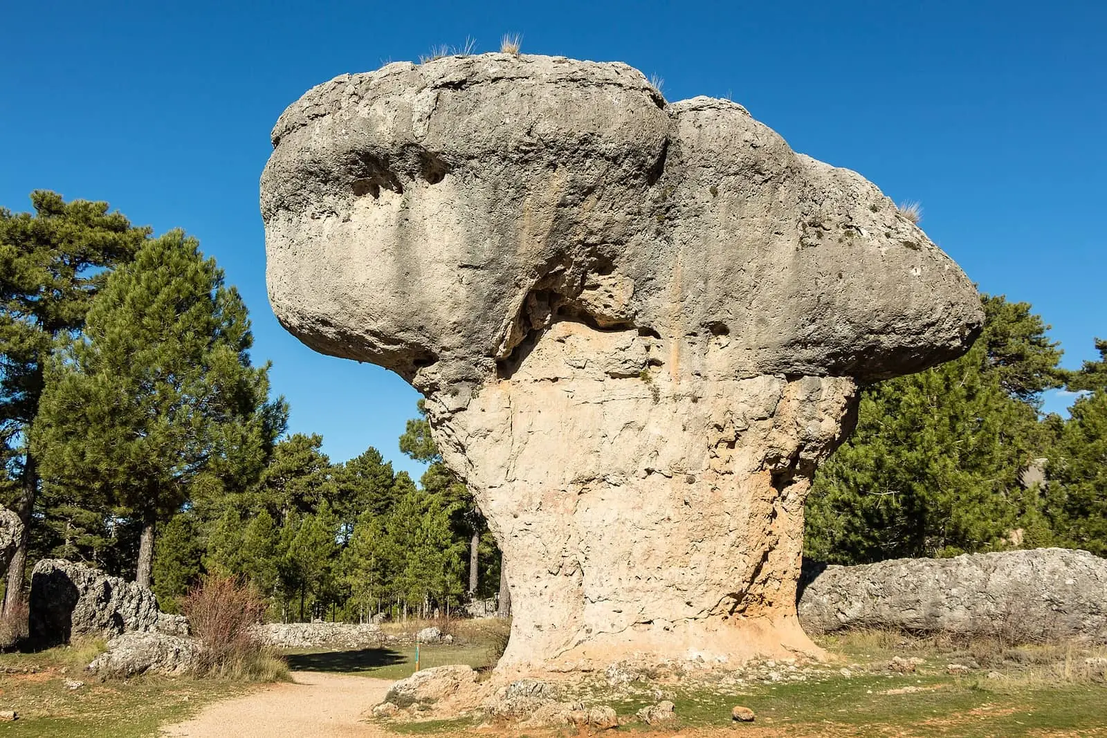
Ciudad Encantada de Cuenca
CuencaSee 5 more
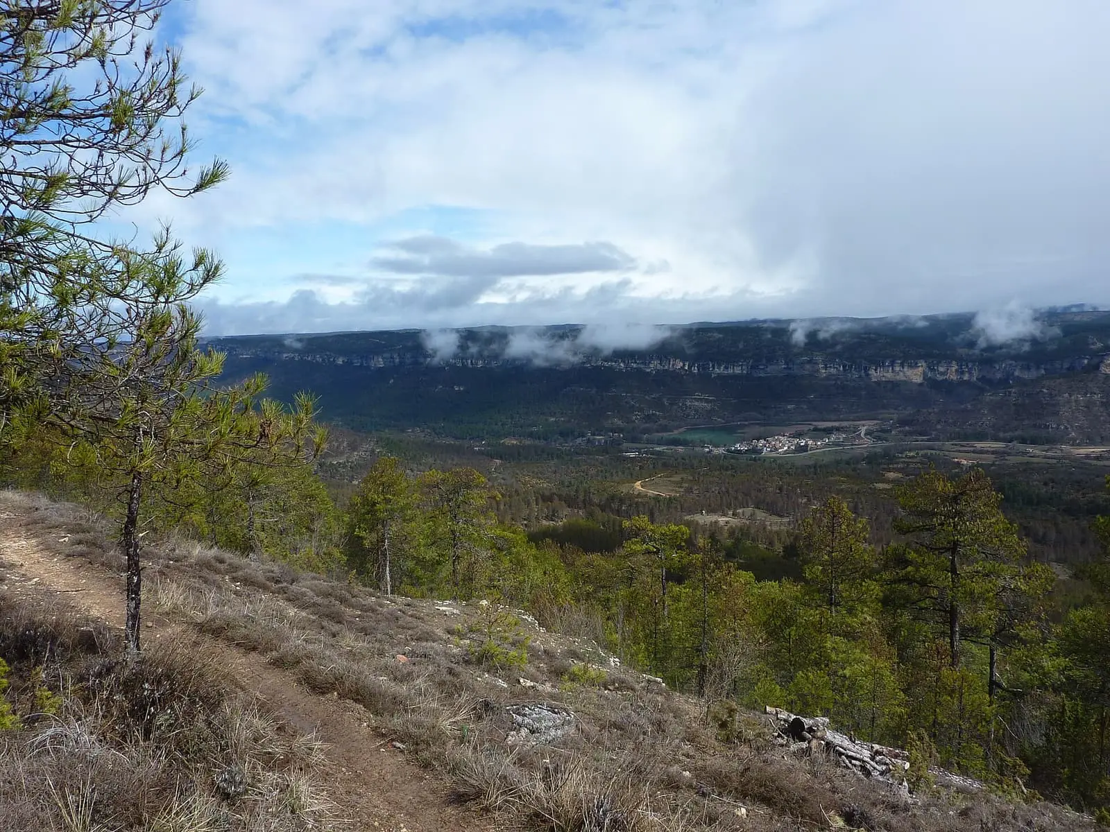
Uña viewpoint
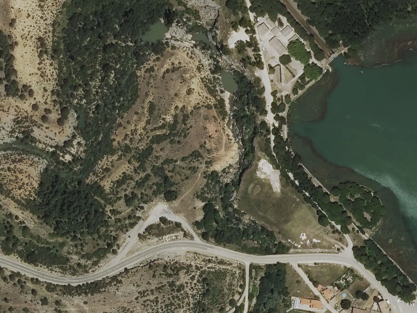
Travertino viewpoint, Uña
Uña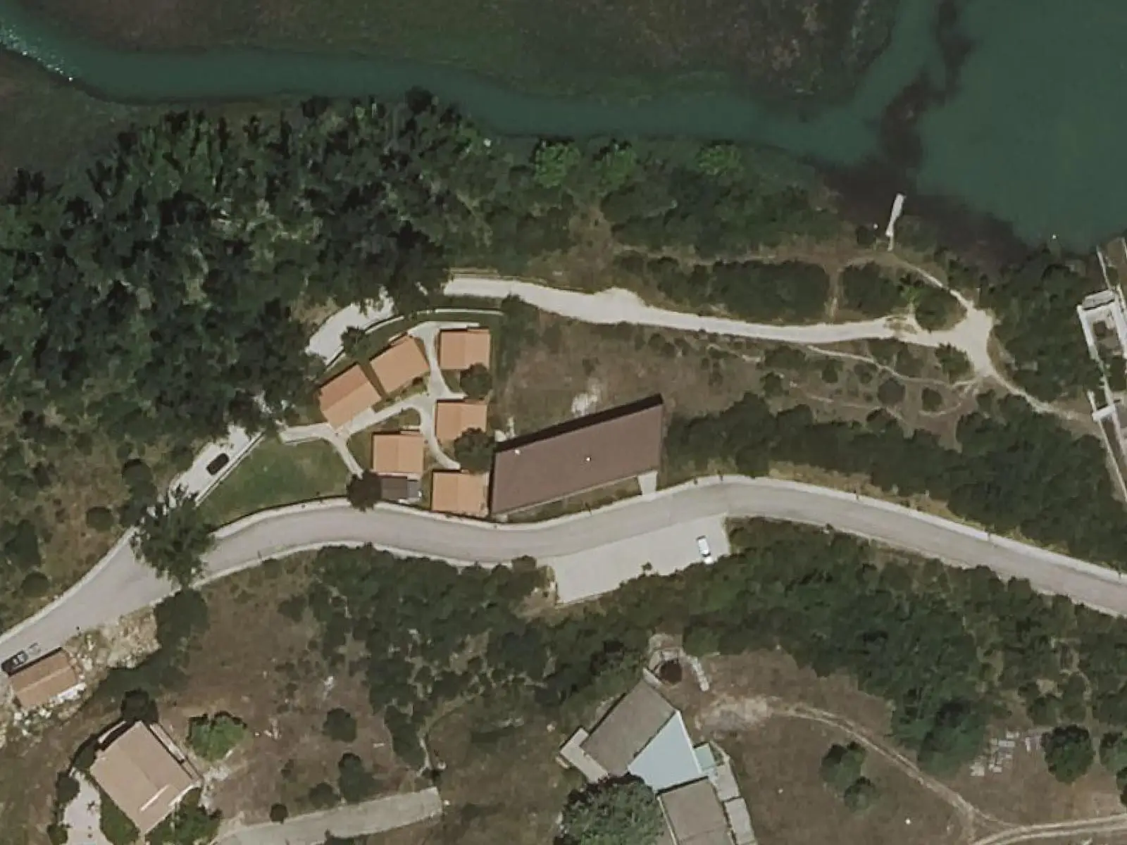
Uña Visitor Reception Centre
Uña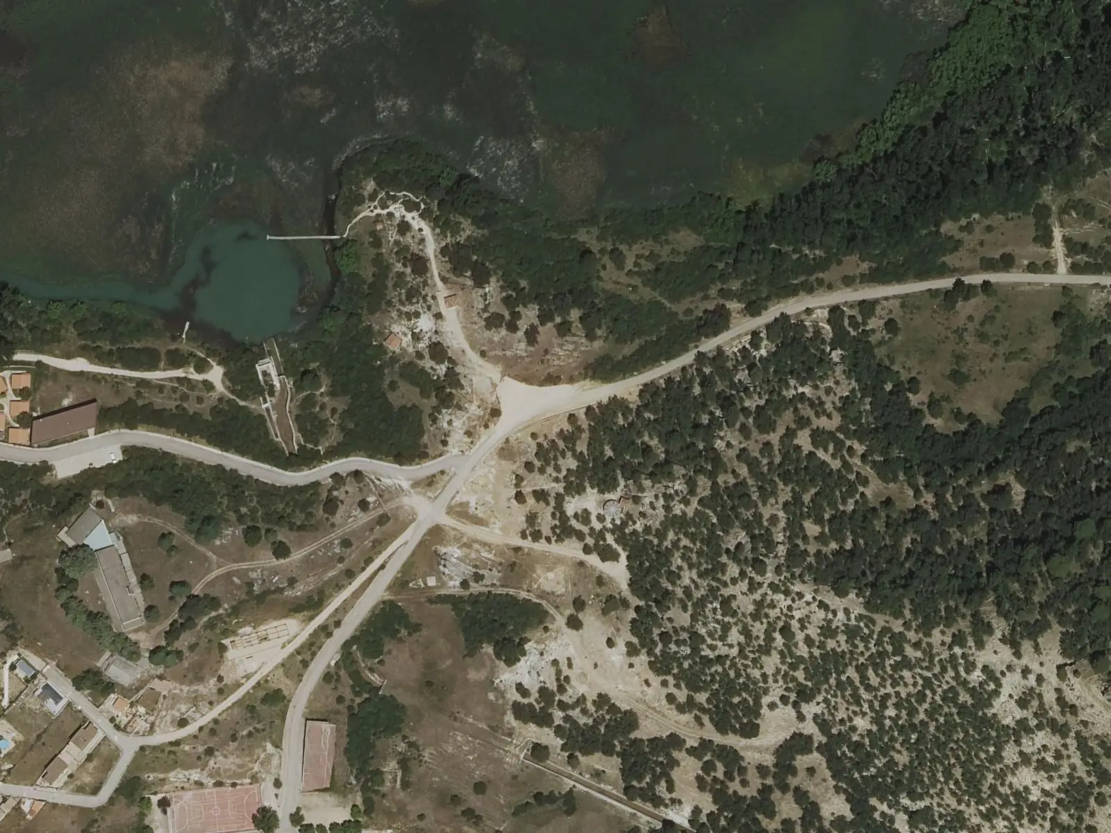
Laguna de Uña viewpoint
Uña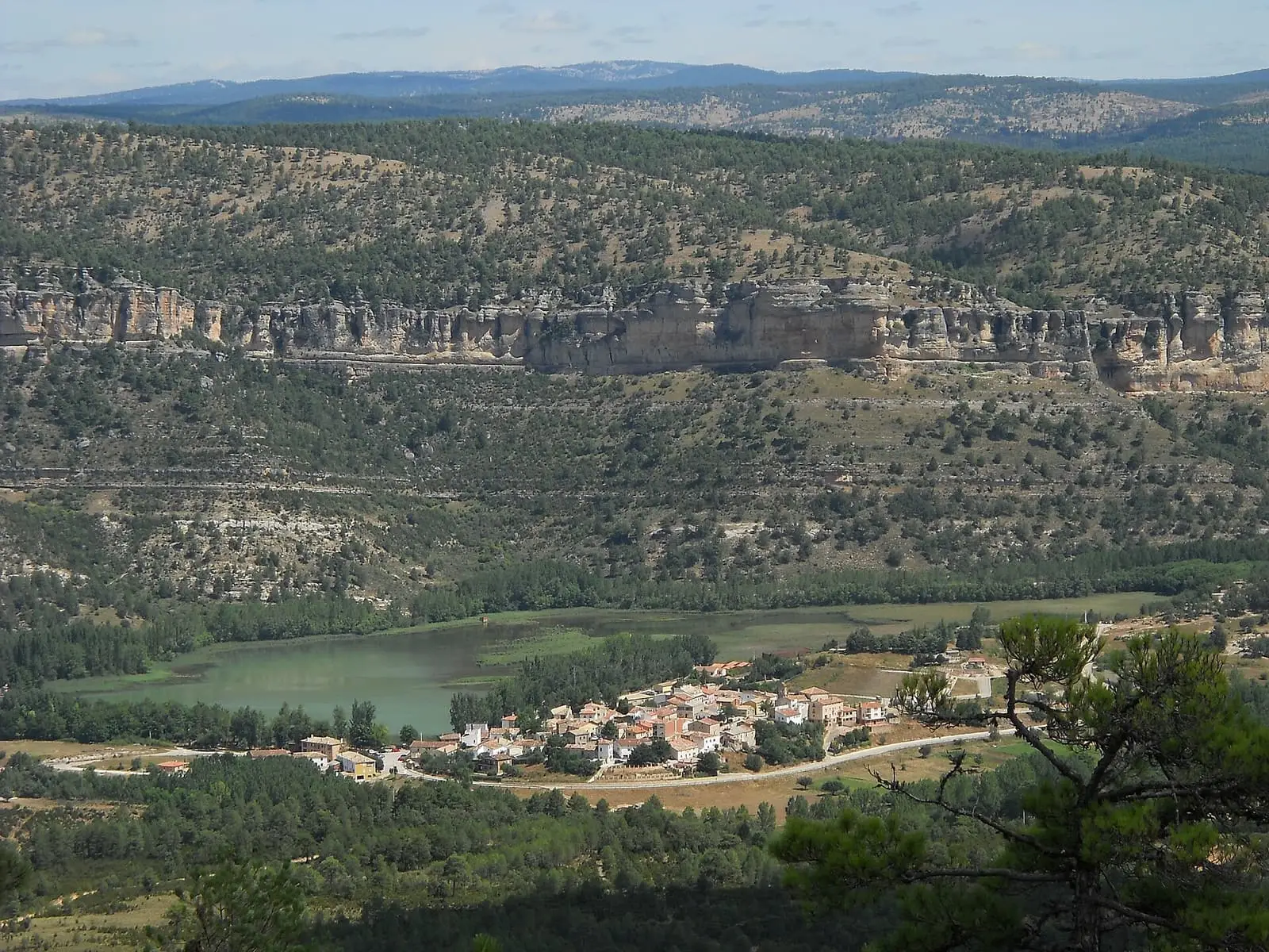
Laguna de Uña
UñaPopulation of Mariana, 1842–2021
Mariana reached 532 inhabitants in 1950. The 2021 census counted 306, 42 % fewer.
Climate in Mariana month by month
Averages for the ten years from 2015 to 2024 from the ERA5 reanalysis (Copernicus), for a grid cell with a reference altitude of 966 m. They are model estimates, not measurements from a local station or thirty-year climate normals.
Source: Copernicus ERA5 via Open-Meteo, CC BY 4.0. Retrieved: 2026-10-09.
Location
● Reference point · ● Villages · ● Places · ━ Routes nearby
Location sketch. The map with paths and names loads as you scroll to it.
Approximate position: village centre.
Reference villages: Sotorribas · Villalba de la Sierra · Zarzuela · Cuenca.
Open the full map and its historical layers →Where the data on this page come from
- Location
- IGN: Nomenclátor Geográfico Básico de España, capital de municipio (CC BY 4.0) source consulted, 9 October 2026
- Municipality (INE code)
- Turismo de Castilla-La Mancha source consulted, 4 October 2026
- Name
- Turismo de Castilla-La Mancha source consulted, 4 October 2026
«Source consulted»: the primary source has been read. «Reference located»: the source has been identified but not yet read. «Open question»: the figure needs confirmation.