Village · Cuenca
Zarzuela
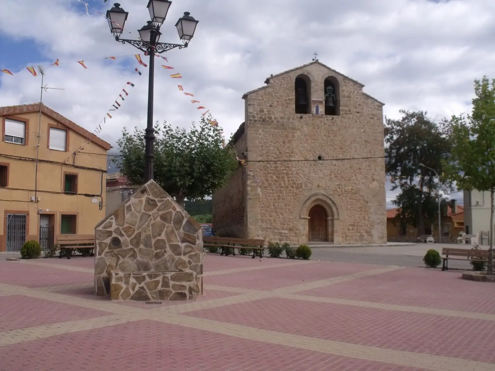
Zarzuela is a village in Serranía Media (middle Serranía), in the transition between the Alcarria and the mountains, with a 13th-century church with a Romanesque-Gothic doorway and an apse of 1724. Its PR-CU 24 trail passes an old tileworks and the Mariana river source. It reached 806 inhabitants in 1950 and had 161 in 2021.
On this page 7 sections
Between the Alcarria and the mountains
Zarzuela stands where the Alcarria becomes Serranía: cultivated fields, scrub and pine woods. It began with resettlement, under Cuenca’s council.
The Zarzuela church dates from the 13th century, although its apse is from 1724. At the west end, beneath a two-opening bell gable, is a doorway between Romanesque and Gothic, with a pointed arch and diamond-point hood mould. On the west façade is another, Classical doorway, beneath a mountain-style porch facing the valley fields. The original fabric remains visible in the north wall.
On 28 June and 4 July 1784, two storms dropped hailstones on crops in several mountain villages, Zarzuela among them. On 27 July the Gazeta de Madrid published the report sent from Cuenca, asking people with means to help the villagers.
Routes
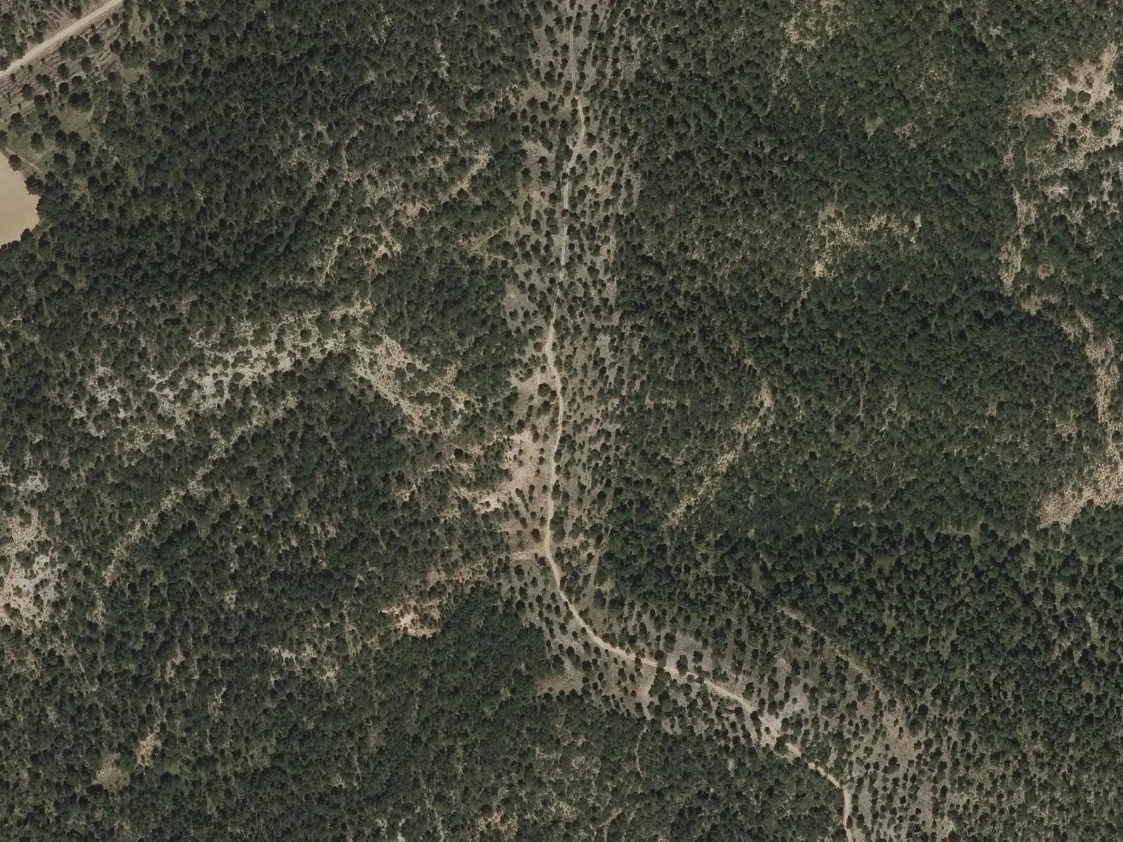
The PR-CU 24 (short-distance trail), Ruta del cerro Calera y Los Vallejos, is a 15 km circuit. It follows the valley fields and passes El Tejar, an old tile factory converted into a shelter, with a spring. It climbs El Calahorrano, the highest point, and descends via Cerro Calera to El Rento, where the Mariana river rises. It returns via Puentecillo de Arcos and Los Vallejos, with the Portilla valley in view, and the Las Majadas path.
Plan your visit
The church takes little time to see; the trail a short day.
Before you travel
Between Puentecillo de Arcos and Los Vallejos the path becomes indistinct: watch the markings. Ask the town hall whether you can see inside the church.
Combine with
Villalba de la Sierra is 4.2 km away in a straight line and Portilla 5.5 km.
Frequently asked questions
What does Zarzuela's church have?
It is a 13th-century church whose apse dates from 1724. It retains a doorway transitional between Romanesque and Gothic beneath the bell gable, and another Classical doorway on the west façade, with a mountain-style porch.
Where does PR-CU 24 go?
The Ruta del cerro Calera y Los Vallejos, a 15 km circuit with 443 m of elevation gain. It passes El Tejar, an old tile factory converted into a shelter, climbs El Calahorrano, descends to El Rento, where the Mariana rises, and returns along the Las Majadas path.
How many inhabitants does Zarzuela have?
161 in the 2021 census. Its peak was 806 in 1950, according to the INE.
Carry on from here
The rivers, zones, eras, places and official routes that the atlas links with Zarzuela.
Lands and landscapes
From here, follow the memory of the land
These readings connect Zarzuela with the stories, the work and the villages around it.
Places in the municipality and around it
Official routes
Near Zarzuela
Piedra Yunque
Villalba de la Sierra
Tío Cogote viewpoint
Las Majadas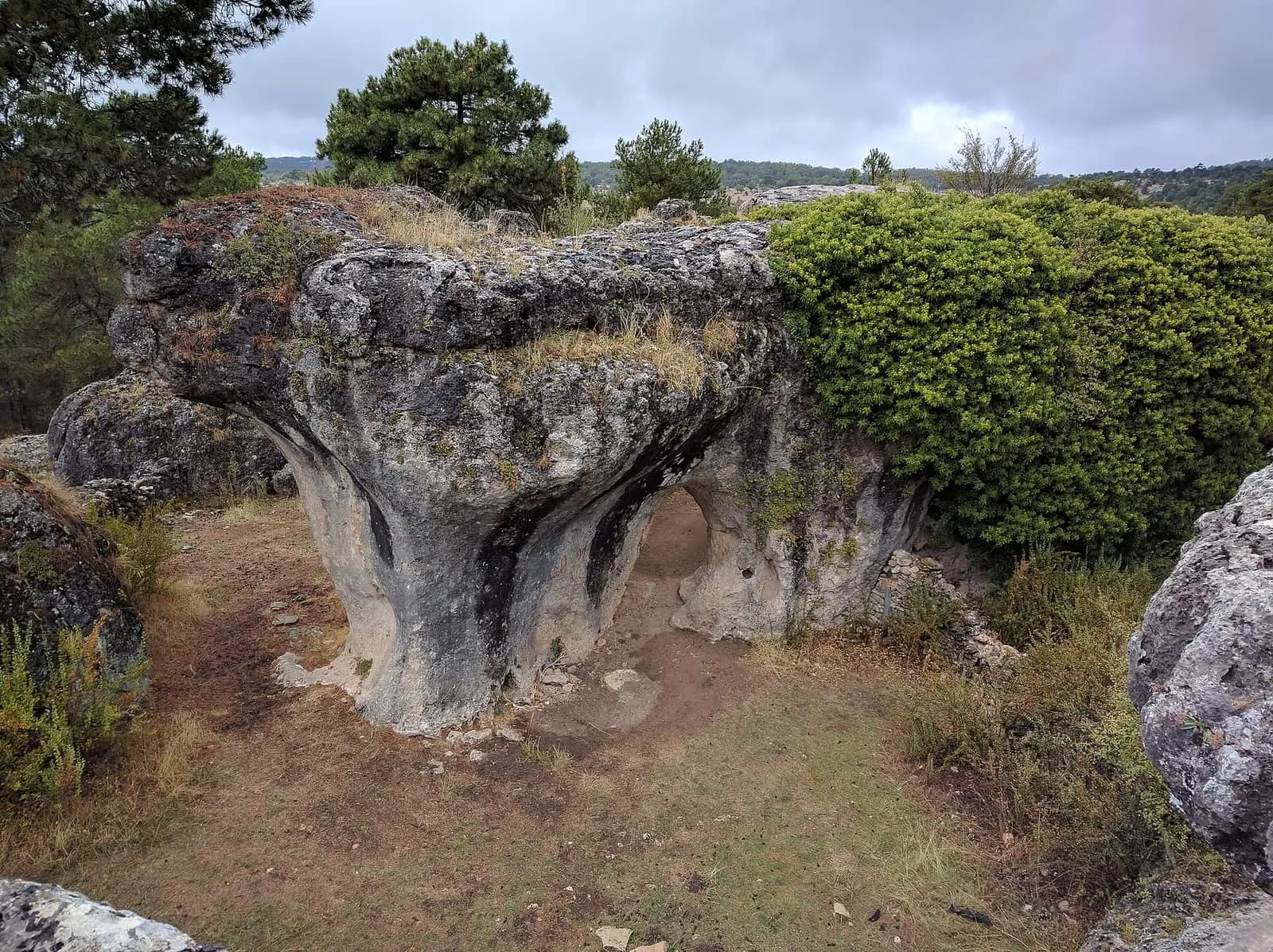
Callejones de Las Majadas
Las MajadasSee 5 more
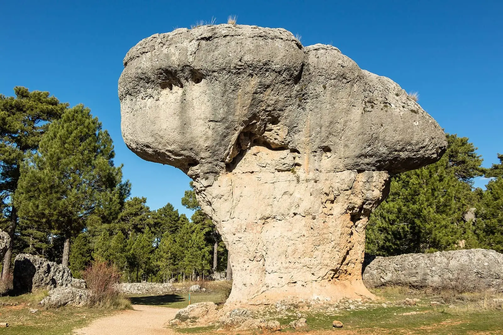
Ciudad Encantada de Cuenca
Cuenca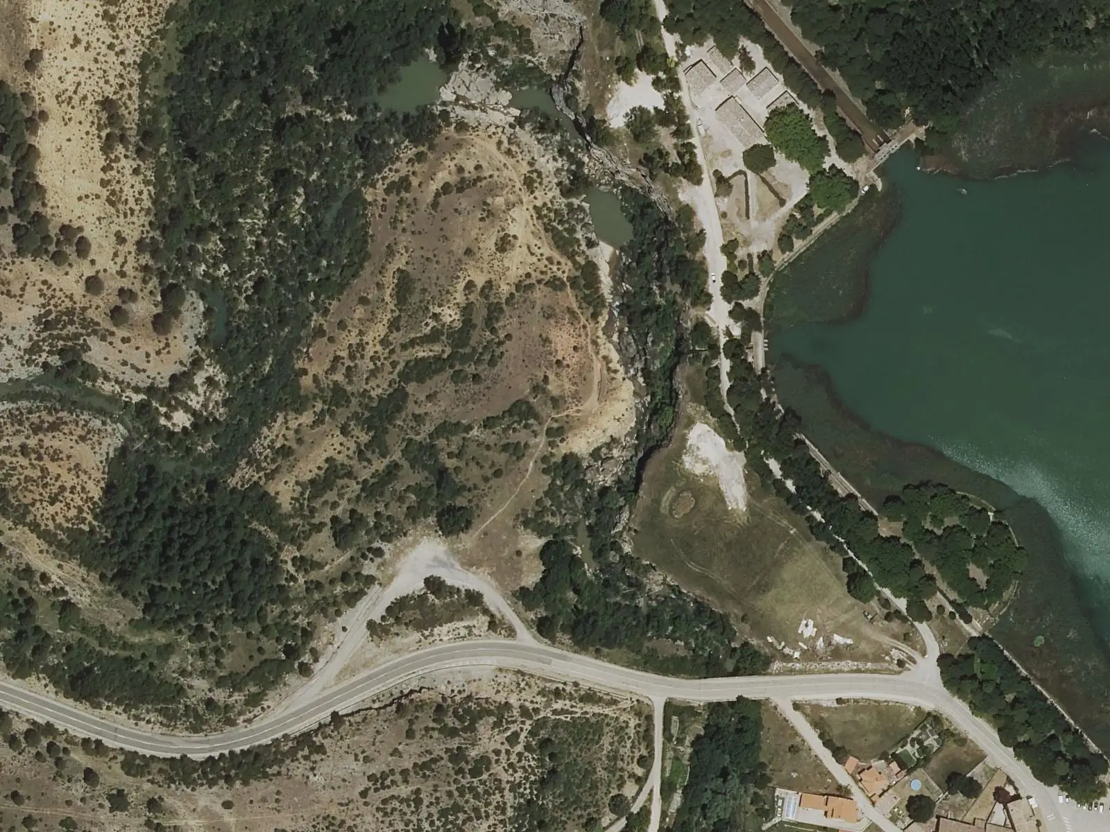
Travertino viewpoint, Uña
Uña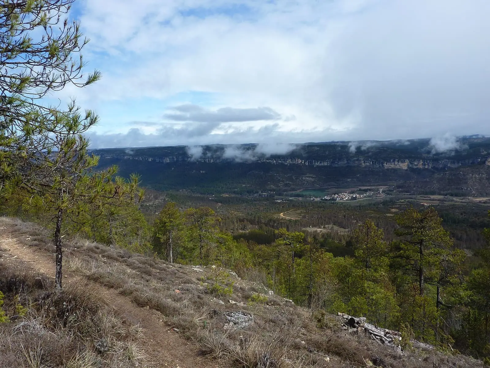
Uña viewpoint
Uña Visitor Reception Centre
Uña
Roman villa of Noheda
Villar de Domingo GarcíaPopulation of Zarzuela, 1842–2021
Zarzuela reached 806 inhabitants in 1950. The 2021 census counted 161, 80 % fewer. It is the story told in the emptying.
Location
● Reference point · ● Villages · ● Places · ━ Routes nearby
Location sketch. The map with paths and names loads as you scroll to it.
Approximate position: village centre.
Reference villages: Villalba de la Sierra · Portilla · Sotorribas · Mariana.
Open the full map and its historical layers →Where the data on this page come from
- Location
- IGN: Nomenclátor Geográfico Básico de España, capital de municipio (CC BY 4.0) source consulted, 9 October 2026
«Source consulted»: the primary source has been read. «Reference located»: the source has been identified but not yet read. «Open question»: the figure needs confirmation.