Village · Cuenca
Fuertescusa
Fuertescusa is a village in the Serranía Alta (upper Serranía) of Cuenca beside the Escabas, surrounded by limestone cliffs, with four official trails and the church of San Martín Obispo. It had 529 inhabitants in 1940 and 57 in 2021. A maquis guerrilla, Eusebio García «Domingo», was exhumed in its civil cemetery in 2006.
On this page 11 sections
A village in the Escabas canyons
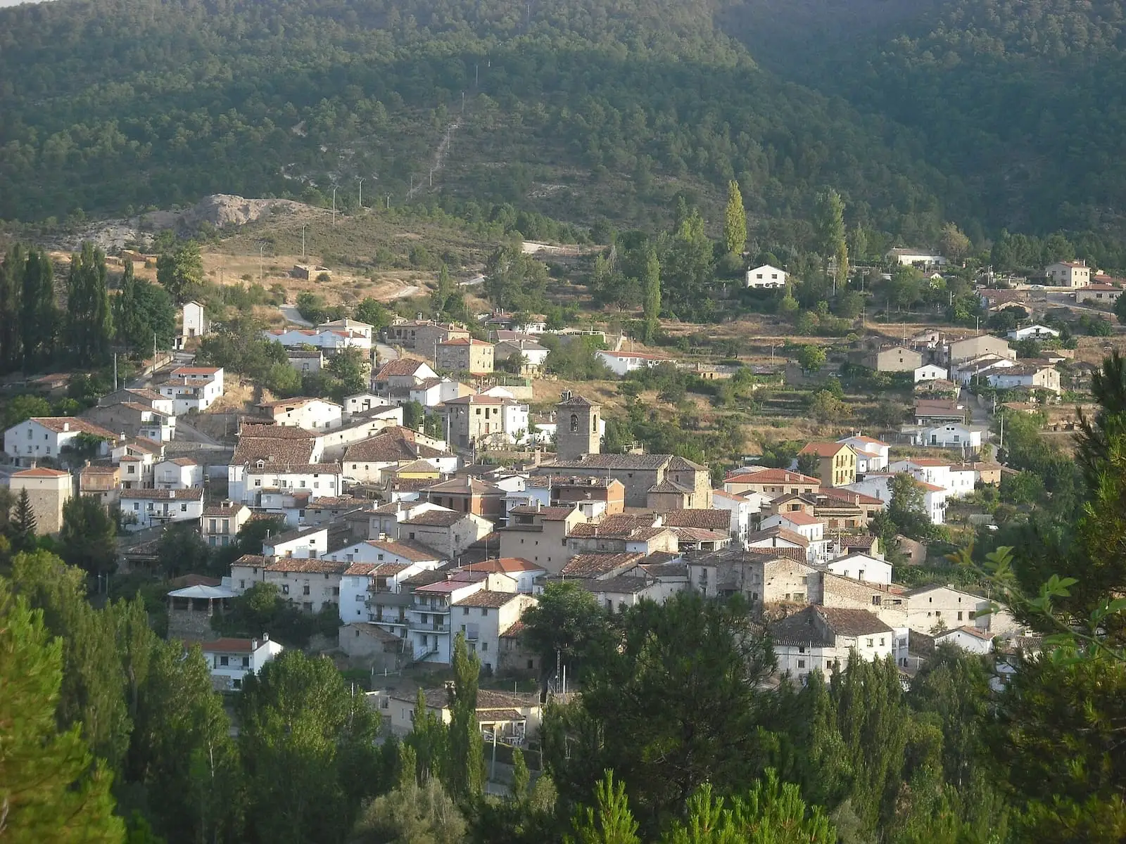
Fuertescusa lies in the Serranía Alta, among the Escabas canyons: limestone cliffs and pine forests surround a small village with the church of San Martín Obispo. It arose from resettlement following Cuenca’s conquest in the 12th century, and its name suggests a defensive role.
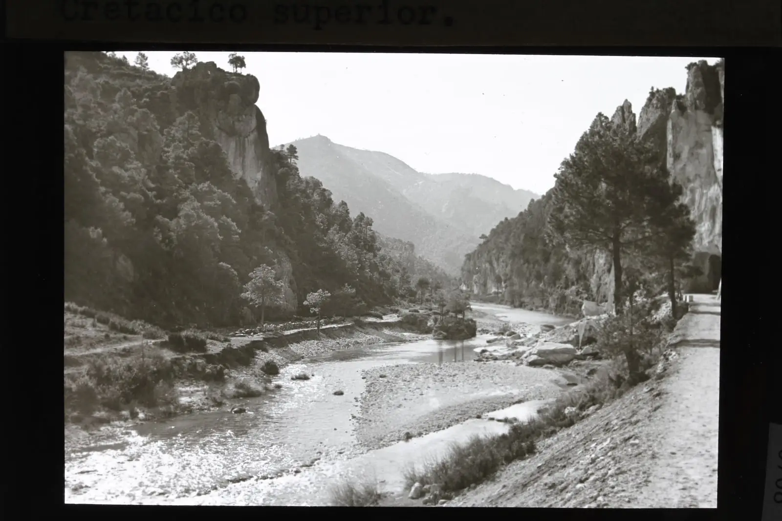
The approach from Cañamares follows the Escabas upstream along a road changing banks between river and crags, with vultures on the cliffs. At the narrowest point, the Puerta del Infierno, three tunnels had to be cut through rock for it to pass. When and by whom they were bored is not known here. On arrival the valley opens into poplar groves and vegetable gardens, and houses hang from the slope. San Martín church mixes work of several periods, with 15th-century elements and an 18th-century alteration: a barrel-vaulted nave, coffered ceiling at the east end, chapels between buttresses, dressed-stone doorway and Renaissance wooden porch. The village has a six-spouted spring.
It is tufa country too. In 2021 an inventory of provincial tufa systems published in the regional government’s environmental magazine found the highest densities by area in Fuertescusa and the Escabas basin. The authors propose studying areas of interest there for tufa-forming mosses.
What trades and memory tell
Logs driven by the gancheros, river timber drivers, came down the Escabas to the Guadiela and Tagus: The gancheros of the Escabas and Guadiela.
In 2006 Eusebio García, «Domingo», an AGLA guerrilla killed around December 1948, was exhumed in the civil cemetery; sources disagree on the date and circumstances of his death. This is the grave of Eusebio García, described with others in The guerrilla in the Serranía.
Within the municipality is Fuente de las Carboneras, restored by the Esparvel nature association: the name recalls charcoal burners working in the hills, piling thick wood in the centre and thin outside, then covering it with branches and earth to burn with little air.
Routes
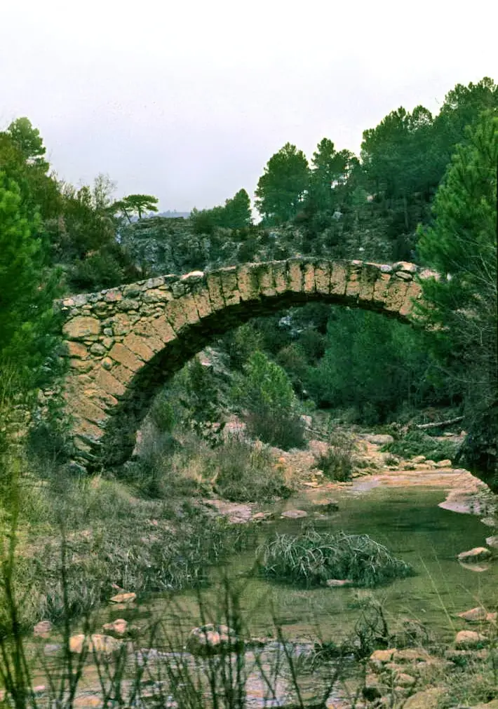
- PR-CU 114 (short-distance trail), Cucurucho y Hocecilla: 12 km. It climbs without respite along a narrow path beneath trees to El Cucurucho, the best viewpoint over the Escabas. It descends to the river by Puente de las Labrás, follows it upstream and returns along La Hocecilla path among cliffs.
- PR-CU 115, Sendero de la Dehesa: 18.5 km.
- SL-CU 12, Sendero del Hocino: 2.2 km, the shortest.
- SL-CU 13, Sendero del Cañizar: 6 km.
Everyone’s woodland
Pine forest has always sustained Fuertescusa. In 1591, to pay for the church tower, the council proposed auctioning six thousand pines from its woods. In the late 19th century the woodland, 5,396 hectares, was divided on paper into equal lots among villagers without boundary markers, and income was shared annually by category: a full share for married people and widowed people with children, half for married people without children and a quarter for unmarried people and widowed people alone.
On the night of 20 January 1948, with the Guardia Civil in the square, heads of household gathered at the town hall to sign a deed making the woodland the property of 125 villagers and their heirs. Only 18 owners were women. For Mariano Rueda Juan, who told it in Mansiegona, the signature ended common use dating from resettlement; with emigration, pine-forest income left year after year with the heirs. In 1978, under democracy, several villagers took the case to the Senate Petitions Committee. The history of the Serranía’s common woods is told in Everyone’s woodland.
Plan your visit
Start with the SL-CU 12 local trail to see the canyon; leave El Cucurucho for a full day.
Before you travel
The climb to El Cucurucho is continuous and very steep at the end. Cliff paths may be wet or icy.
Combine with
From the archive
Frequently asked questions
What trails are there in Fuertescusa?
PR-CU 114 Cucurucho y Hocecilla (12 km, 550 m of elevation gain), PR-CU 115 Dehesa (18.5 km), SL-CU 12 Hocino (2.2 km) and SL-CU 13 Cañizar (6 km). All are approved trails.
What is El Cucurucho?
The highest summit on the PR-CU 114, with a view over the River Escabas and the scarps confining it; the trail passes through an SPA.
How many people live in Fuertescusa?
57 in the 2021 census. The peak was 529 in 1940, according to the INE.
Carry on from here
The rivers, zones, eras, places and official routes that the atlas links with Fuertescusa.
Rivers and basins
Following the water from Fuertescusa
Follow these watercourses to where they meet, to their villages and to the memories of their basin.
Lands and landscapes
From here, follow the memory of the land
These readings connect Fuertescusa with the stories, the work and the villages around it.
War and guerrilla · memory of the land
The war in the village's memory
In 2006 Eusebio García, «Domingo», an AGLA guerrilla who died around December 1948, was exhumed in the civil cemetery; the sources do not all agree on the date and circumstances of his death.
Source: Polo, Cruz y García (2010), arqueología y antropología forense de la represión franquista.
Read the story of the guerrilla →Places in the municipality and around it
Official routes
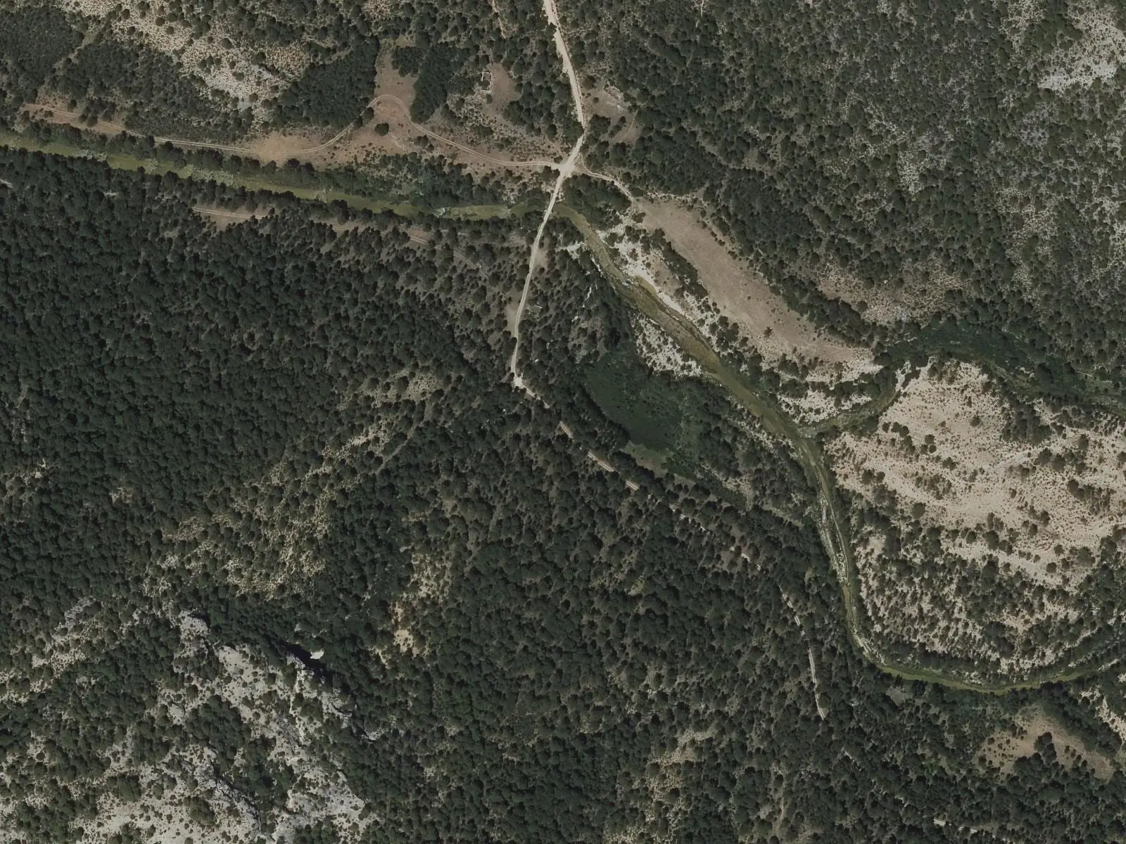
Sendero del Cucurucho y la Hocecilla
12 km · circular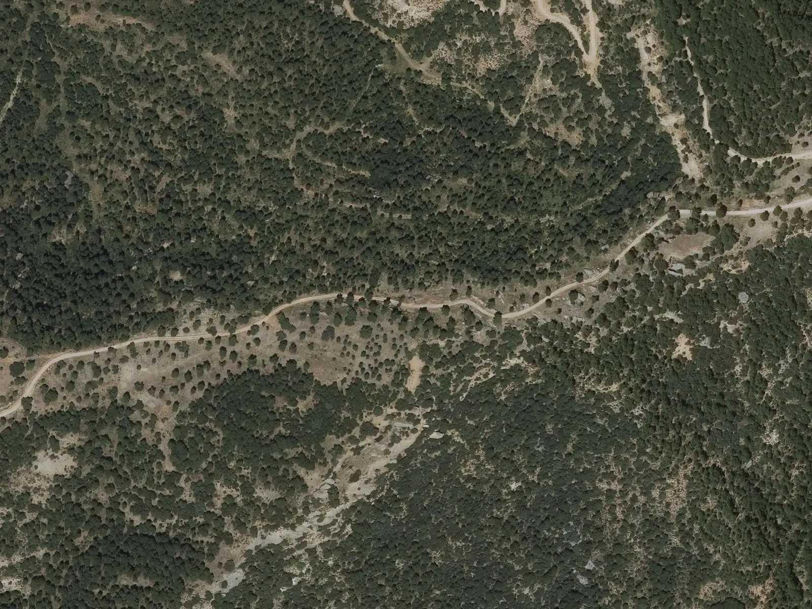
Sendero de la Dehesa
18.5 km · circular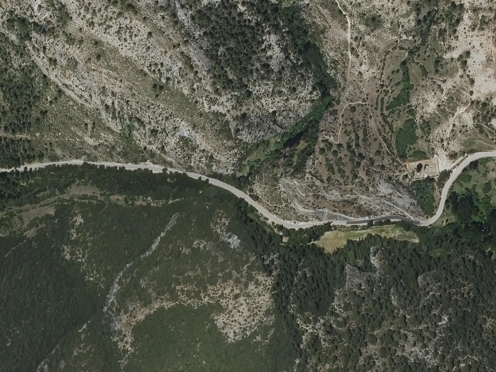
Sendero del Hocino
2.2 km · linearSee all 4 routes
Near Fuertescusa
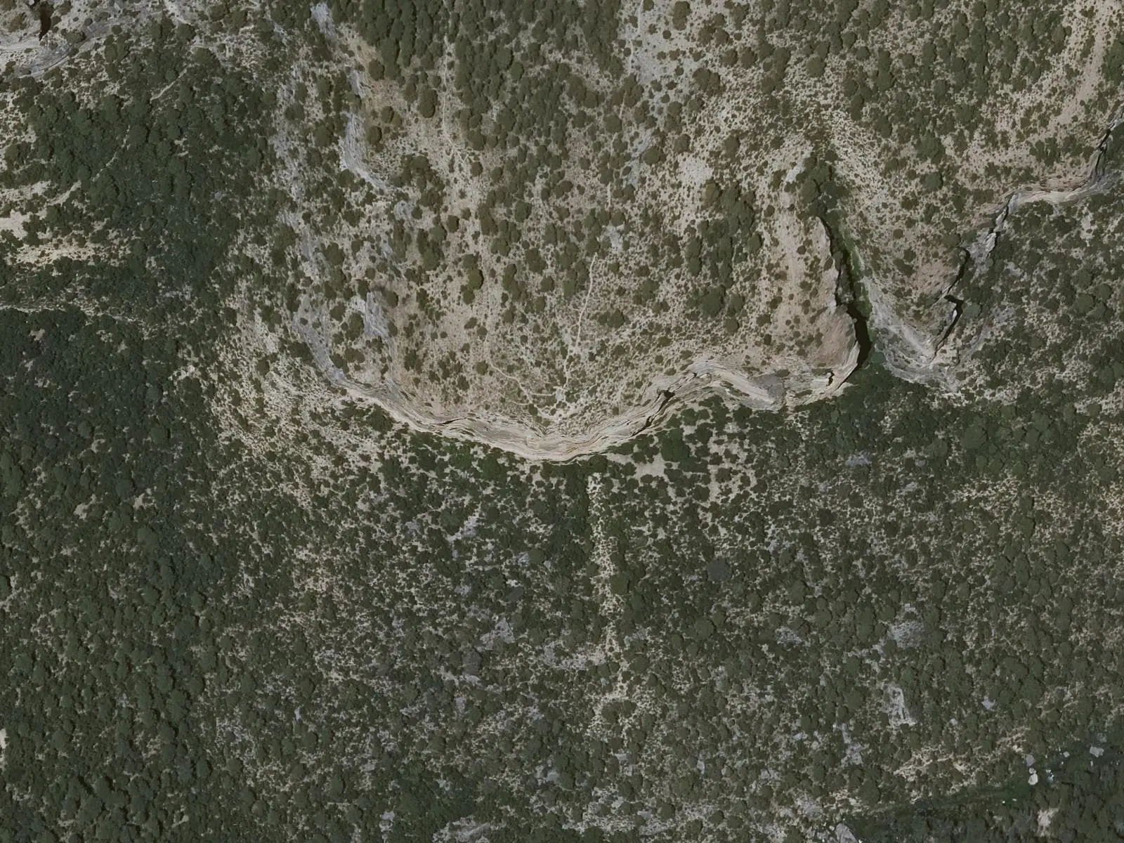
Cruz de Solán viewpoint
Beteta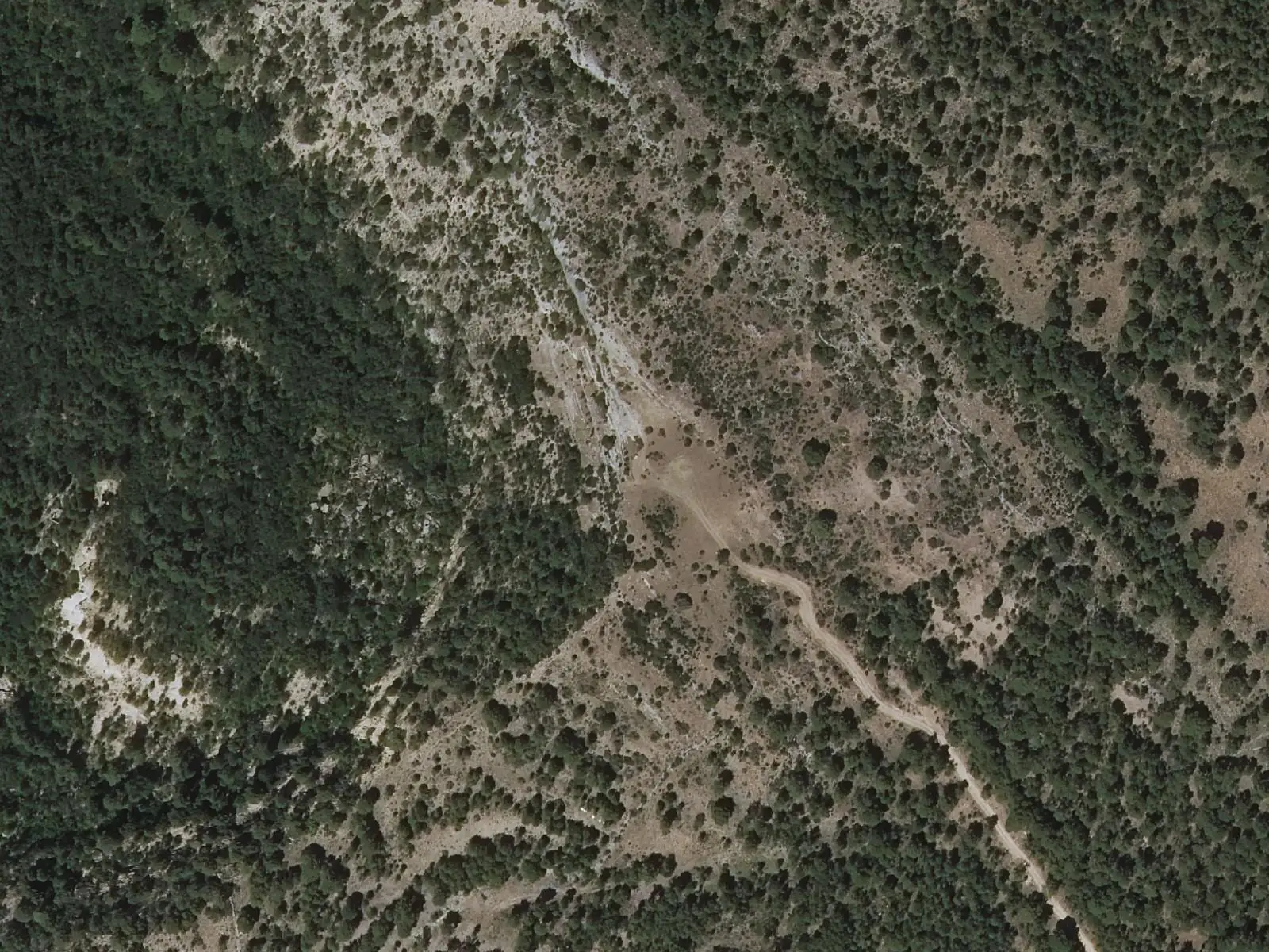
Armentero viewpoint
Beteta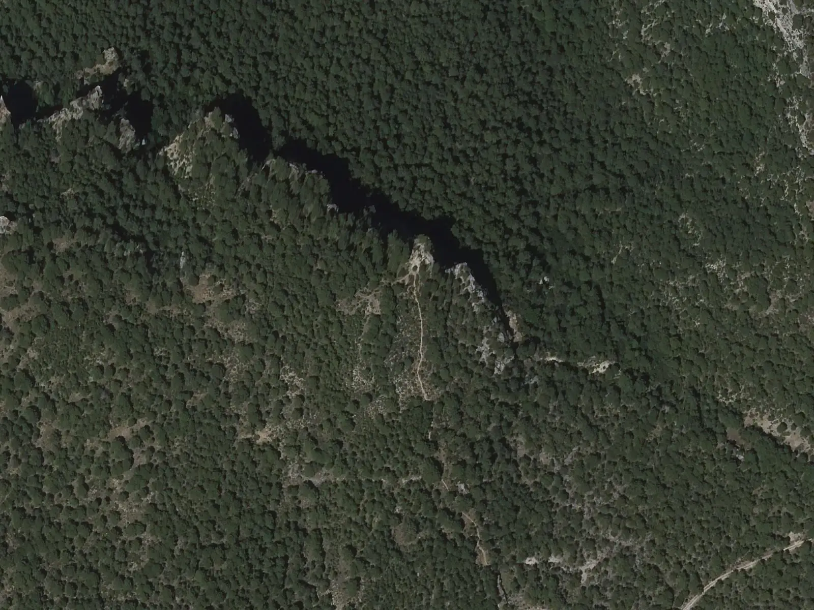
Tragavivos viewpoint
CañizaresSee 5 more
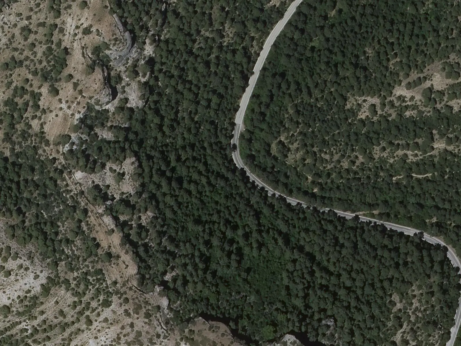
Fuente de los Tilos picnic area
Beteta
Casa de la Pradera picnic area
Beteta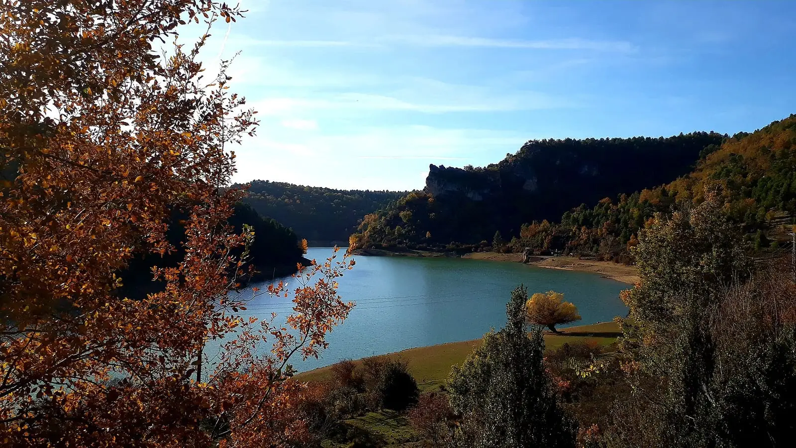
La Tosca reservoir
Santa María del Val
Peña del Águila viewpoint
Carrascosa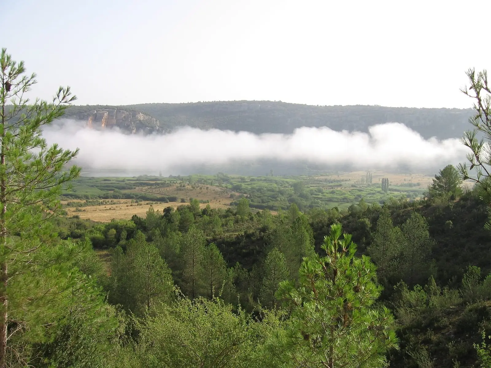
Lagunas de El Tobar
BetetaPopulation of Fuertescusa, 1842–2021
Fuertescusa reached 529 inhabitants in 1940. The 2021 census counted 57, 89 % fewer. It is the story told in the emptying.
Climate in Fuertescusa month by month
Averages for the ten years from 2015 to 2024 from the ERA5 reanalysis (Copernicus), for a grid cell with a reference altitude of 993 m. They are model estimates, not measurements from a local station or thirty-year climate normals.
Source: Copernicus ERA5 via Open-Meteo, CC BY 4.0. Retrieved: 2026-10-09.
Location
● Reference point · ● Villages · ● Places · ━ Routes nearby
Location sketch. The map with paths and names loads as you scroll to it.
Approximate position: village centre.
Reference villages: Cañizares · Cañamares · La Frontera · Fresneda de la Sierra.
Open the full map and its historical layers →Where the data on this page come from
- Location
- IGN: Nomenclátor Geográfico Básico de España, capital de municipio (CC BY 4.0) source consulted, 9 October 2026
- Municipality (INE code)
- Ayuntamiento de Fuertescusa source consulted, 5 October 2026
- Name
- Ayuntamiento de Fuertescusa source consulted, 5 October 2026
«Source consulted»: the primary source has been read. «Reference located»: the source has been identified but not yet read. «Open question»: the figure needs confirmation.