Village · Cuenca
Cañamares
Cañamares is a village in the Serranía Media (middle Serranía) of Cuenca on the Escabas, among rocky cliffs and basket-willow fields turning red in autumn. It had 1,017 inhabitants in 1940 and 468 in 2021. It is one of the five Cuenca municipalities in the Bien de Interés Cultural listing of the Gancheros del Alto Tajo.
On this page 10 sections
A village beside the Escabas
Cañamares lies in the Serranía Media, on the bank of the Escabas, among cliffs and woodland. It is one of the northern gateways to the Serranía, between the Alcarria and the mountains, and among the district’s less cold villages. It was founded in the Late Middle Ages by soldiers from La Rioja; hence its patron San Millán, the church bearing his name and the village’s twinning with San Millán de la Cogolla.
What trades and memory tell
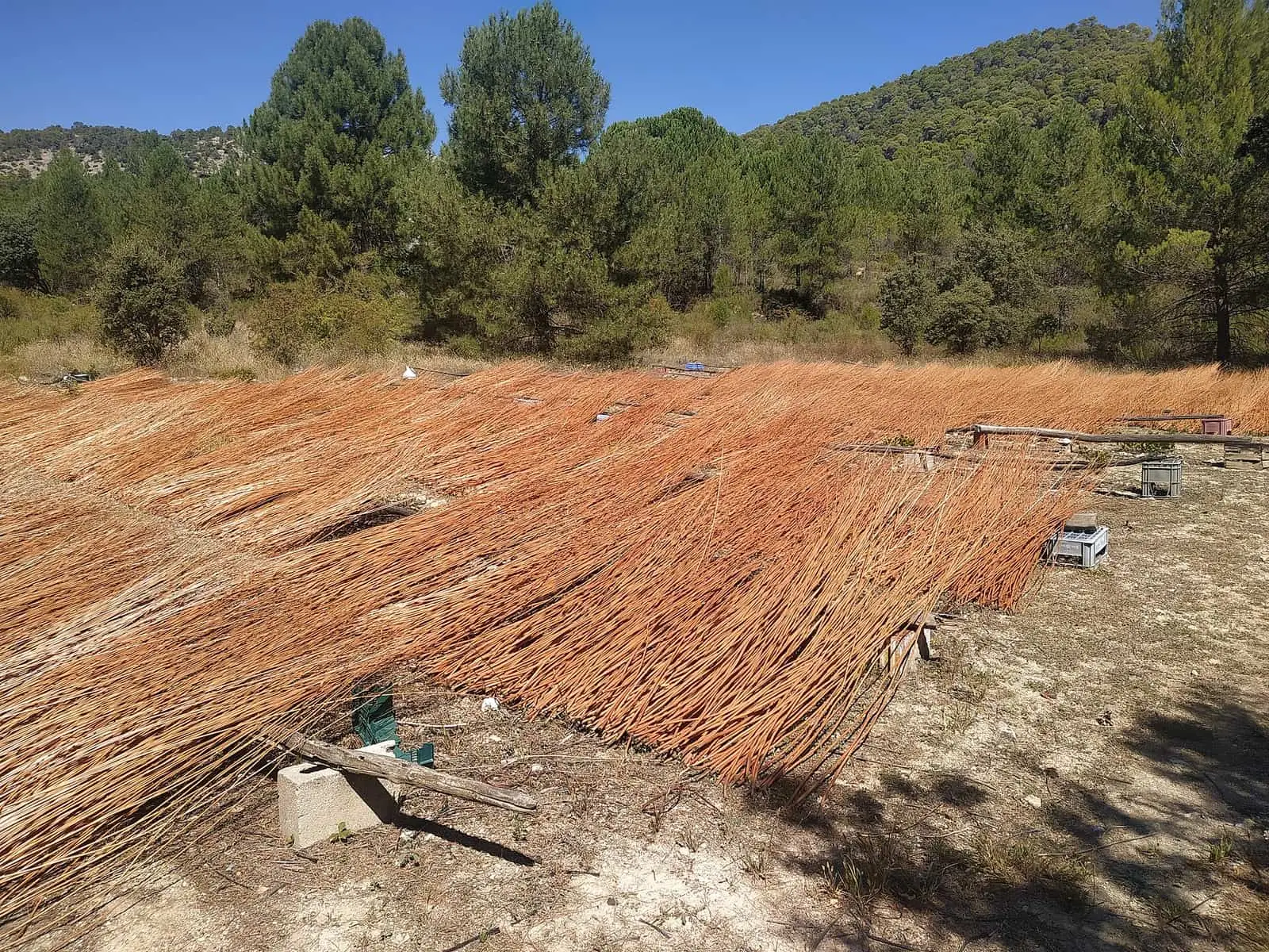
What distinguishes Cañamares is basket willow. In the Escabas and Trabaque valleys willow plantations make fields green in summer and red in autumn, with gorges behind. The rods supply basketmaking, still practised here: shopping baskets, back baskets, olive baskets, cradles, children’s walking frames, rattles, armchairs and trunks.
Logs came down the Escabas towards the Guadiela and Tagus, and Cañamares is one of the five Cuenca municipalities included in the 2021 listing of the Gancheros del Alto Tajo as a Bien de Interés Cultural (Spain’s highest heritage listing), with Priego, Cañizares, Beteta and Santa María del Val: The gancheros of the Escabas and Guadiela.
In 2022 a local producer growing willow and making rolls for fencing, parasols and basketmaking materials saw the trade as endangered: few plantations and workers remained, and much cheaper imported willow was taking the orders. At the time the European Union was considering protecting crafts with geographical indications, as already done for food, and he felt it was late. Around the same time a local basketmaker had more orders than he could fulfil and missed the days when several workshops shared large orders.
The Monsaete bus
The scheduled coach of La Campichuelense left Cuenca and travelled through the Campichuelo villages, from Mariana to La Frontera, then Cañamares and Cañizares. On 8 July 1948, nine years after the war, beyond the Monsaete pass at kilometre 37, stones blocked its way. A band of at least eight guerrillas of the Agrupación Guerrillera de Levante, led by «Paisano», killed the Guardia Civil officer travelling on the bus, Florencio Fernández Adrián, aged 30 with three children. They held the twelve passengers, including a priest and several bathers bound for Solán de Cabras, took money, watches and food, carried off the mail and burnt the bus. The driver escaped and spent the night hidden in the hills. Since 1993 the road no longer climbs Monsaete: it passes through a tunnel of about 600 metres.
Plan your visit
Walk through the village, see the willow in season and ask about the basketmakers if the trade interests you. The Escabas gorge towards Priego is the next stop.
Before you travel
Willow is a crop and has an owner: do not enter the plots or cut rods.
Combine with
Priego and La Frontera are about 6 km away as the crow flies, and Cañizares 8.5: the three together trace the Serranía’s timber-driving memory.
From the archive

Frequently asked questions
Why is Cañamares' basket willow famous?
The Escabas and Trabaque valleys are covered in willow plantations: green in summer and deep red in autumn. They sustain basketmaking, producing baskets, back baskets, olive baskets, traps, cradles and children's walking frames.
Why is San Millán the patron saint of Cañamares?
According to Turismo de Castilla-La Mancha, the village was founded in the Late Middle Ages when soldiers from La Rioja settled in the Escabas valley; hence its patron saint and twinning with San Millán de la Cogolla.
Were there gancheros in Cañamares?
Yes. Cañamares is one of the five Cuenca municipalities in the 2021 Bien de Interés Cultural listing of the Gancheros del Alto Tajo. The Escabas, a Guadiela tributary, carried logs towards the Tagus.
Carry on from here
The rivers, zones, eras, places and official routes that the atlas links with Cañamares.
Rivers and basins
Following the water from Cañamares
Follow these watercourses to where they meet, to their villages and to the memories of their basin.
Lands and landscapes
From here, follow the memory of the land
These readings connect Cañamares with the stories, the work and the villages around it.
Near Cañamares
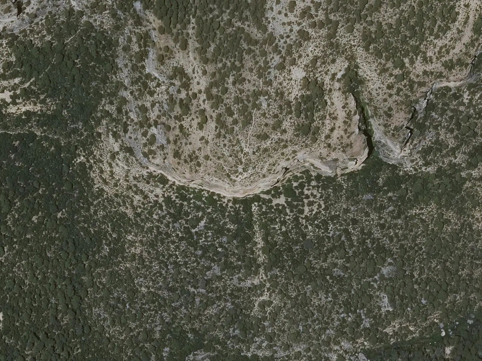
Cruz de Solán viewpoint
Beteta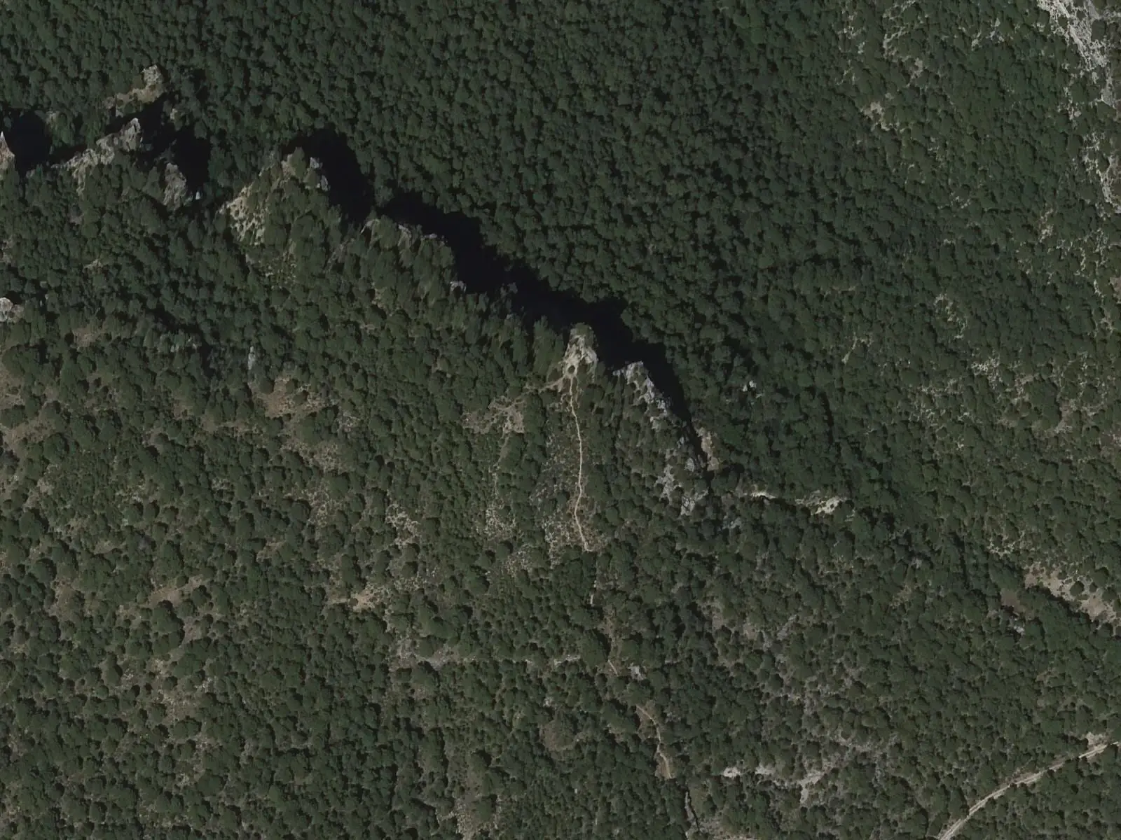
Tragavivos viewpoint
Cañizares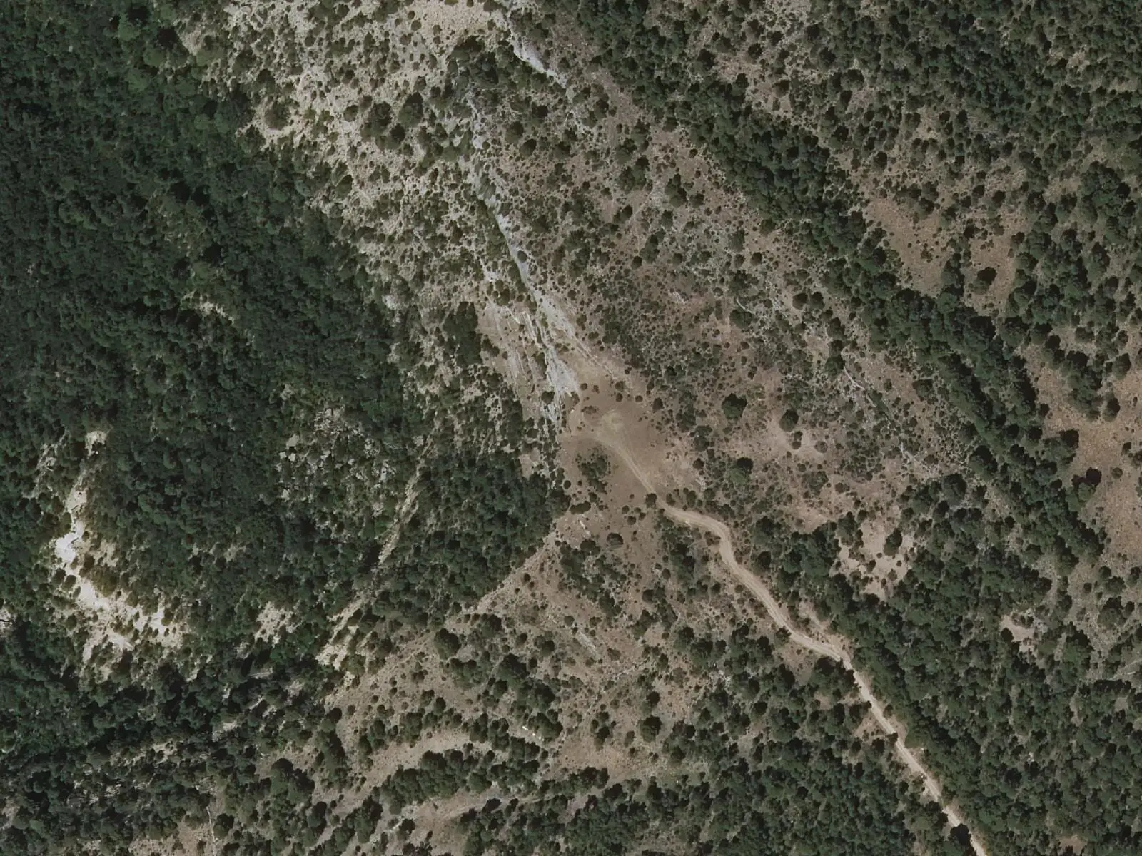
Armentero viewpoint
BetetaSee 5 more
Peña del Águila viewpoint
Carrascosa
Fuente de los Tilos picnic area
Beteta
Casa de la Pradera picnic area
Beteta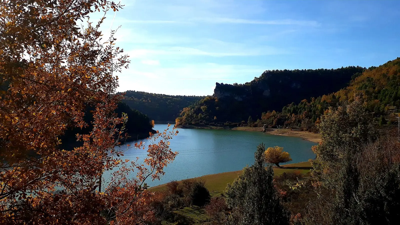
La Tosca reservoir
Santa María del Val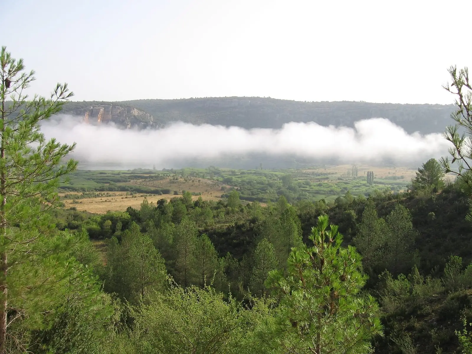
Lagunas de El Tobar
BetetaPopulation of Cañamares, 1842–2021
Cañamares reached 1,017 inhabitants in 1940. The 2021 census counted 468, 54 % fewer. It is the story told in the emptying.
Climate in Cañamares month by month
Averages for the ten years from 2015 to 2024 from the ERA5 reanalysis (Copernicus), for a grid cell with a reference altitude of 885 m. They are model estimates, not measurements from a local station or thirty-year climate normals.
Source: Copernicus ERA5 via Open-Meteo, CC BY 4.0. Retrieved: 2026-10-09.
Location
● Reference point · ● Villages · ● Places · ━ Routes nearby
Location sketch. The map with paths and names loads as you scroll to it.
Approximate position: village centre.
Reference villages: Fuertescusa · La Frontera · Priego · Cañizares.
Open the full map and its historical layers →Where the data on this page come from
- Location
- IGN: Nomenclátor Geográfico Básico de España, capital de municipio (CC BY 4.0) source consulted, 9 October 2026
- Municipality (INE code)
- Turismo de Castilla-La Mancha source consulted, 4 October 2026
- Name
- Turismo de Castilla-La Mancha source consulted, 4 October 2026
«Source consulted»: the primary source has been read. «Reference located»: the source has been identified but not yet read. «Open question»: the figure needs confirmation.