Village on the edge of the Serranía · Cuenca
Priego
Priego is the entrance to the Serranía de Cuenca from the Alcarria: a town of 894 inhabitants beside the Escabas, where it leaves the narrows, with the counts' palace, a hospital for the poor from 1525, pottery, wicker and a museum preserving blankets and the memory of river timber drivers. It reached 2,813 residents in 1940.
On this page 11 sections
The entrance to the Serranía
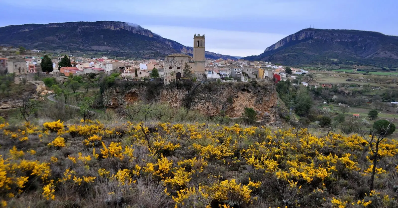
Priego lies in the north of the province, between the Alcarria and the Serranía. The Escabas passes a few metres from the town centre after crossing the Estrecho de Priego, limestone gorges with walls up to 400 metres high, and the Trabaque and Guadiela also meet in the surrounding area. There is a market on Wednesdays and Saturdays.
Stone and power
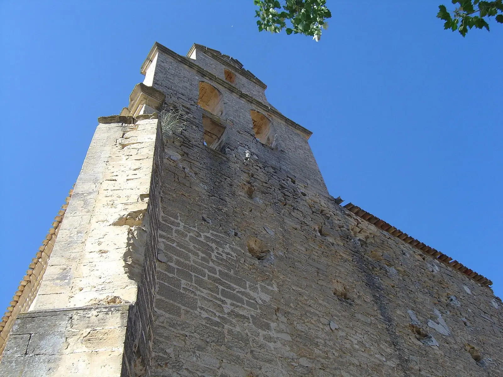
The oldest structure is the Torreón de Despeñaperros, of Arab origin. The 16th-century Palace of the Counts of Priego is now the town hall. Remaining buildings include the Hospital del Dulce Nombre de Jesús, a shelter for the poor founded in 1525, the so-called Casas de la Inquisición, the Puerta de Molina in the town wall and San Nicolás de Bari church, with a 32-metre Renaissance tower. Outside the town are the ruins of the Romanesque San Roque hermitage and the medieval Allende bridge. The convent of Nuestra Señora del Rosal, dating from around 1525, retains its Plateresque church and three ranges of the cloister.
What trades and memory tell
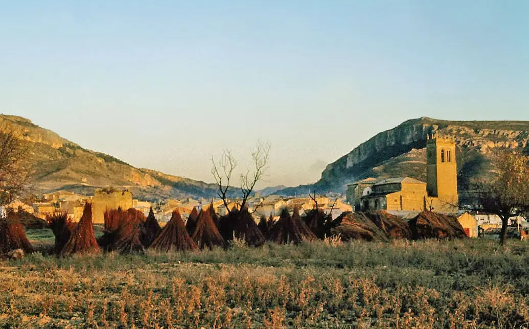
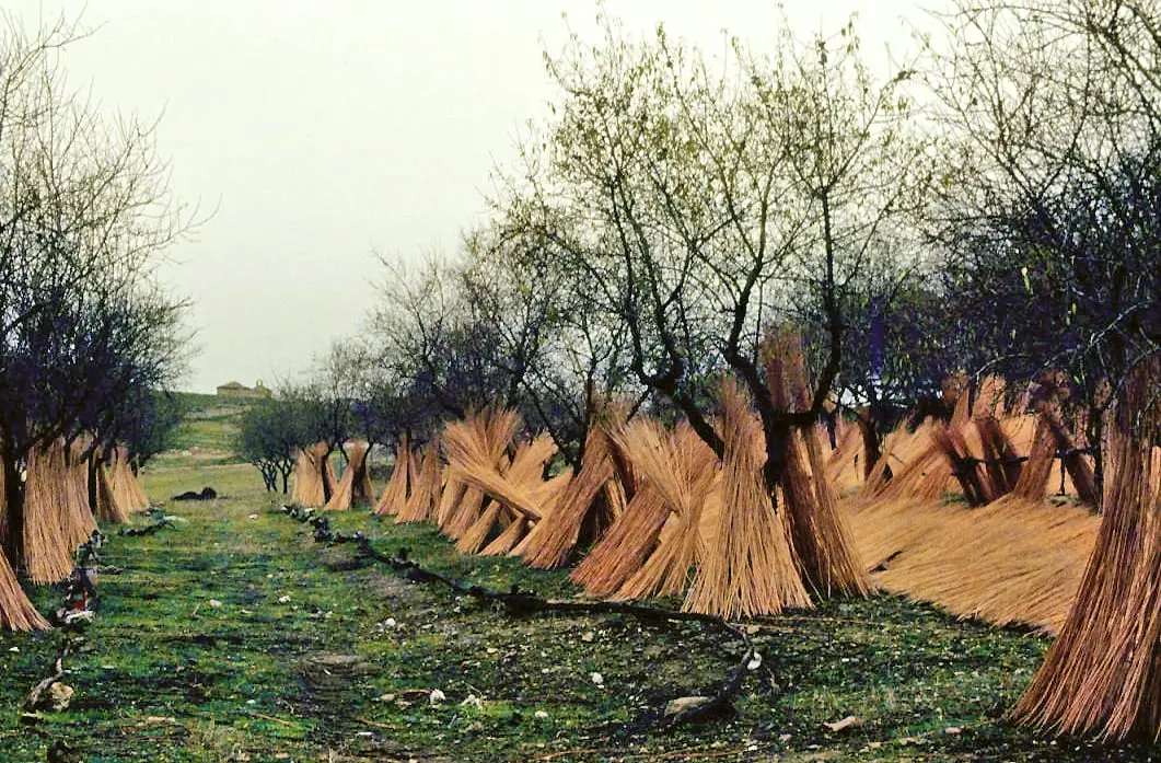
Priego is one of Cuenca’s main pottery centres, with workshops still open. The district is willow-growing country. The Museum of Ethnography and Folk Arts preserves the woollen blankets woven here from the mid-19th century to the last third of the 20th, and the trade of river timber drivers who took logs down the Escabas to the Guadiela: The gancheros of the Escabas and Guadiela.
From 30 January to 1 February 2026, Priego’s library hosted the third Bibliocatessen: forty librarians and people from the book world from twelve provinces. The previous event had been held in Tragacete in 2024. They visited Jesús Parra’s pottery, San Miguel de la Victoria convent and the old centre, and there was a recital of short stories among the shelves.
The railway that was to pass through Priego
On 10 June 1929 a delegation of almost two hundred people from Aragón and Castilla la Nueva presented the Minister of Public Works with plans for an electric railway from La Roda to Tarazona, conceived as part of a line linking France with Cádiz. From Cuenca it would climb to Priego, then cross Serranía Alta through the narrows towards Beteta and the Guadalajara boundary, on the way to Molina, Calatayud and Tarazona. It needed 65 tunnels, some over five kilometres long, and gradients up to 3.5%, so the locomotives had to be electric, powered by new reservoirs on the Alto Tajo and Guadiela. The budget was 265 million pesetas, and architect Luis Vegas was to design a different station for each major town. The railway would carry mountain timber and resin, iron from Cueva del Hierro and Priego marble. It was never built.
Routes
The PR-CU 42 (short-distance trail), Ruta del mirador del Rodenal, is a 14 km circuit climbing from 862 to 1,298 metres. PR-CU 43 follows the Escabas riverbank and La Cerroya.
Plan your visit
The old centre, museum and Allende bridge fit into a morning. PR-CU 42 needs a day. Priego is a good place to enter the Serranía along the Escabas.
Before you travel
Confirm museum opening times with the town hall.
Combine with
Cañamares is 6.5 km away in a straight line and Fuertescusa, up the Escabas gorge, 12.2 km.
From the archive
Frequently asked questions
What is the Estrecho de Priego?
The gorges cut by the Escabas at the entrance to the Serranía, with limestone walls reaching 400 metres, according to Castilla-La Mancha Tourism. Through this opening the river leaves the mountains for the Alcarria.
How did Priego make its living?
From farming and livestock, and trades such as pottery, wickerwork and woollen blanket-making, between the mid-19th century and the last third of the 20th. The Museum of Ethnography and Folk Arts preserves that production and the work of river timber drivers.
Which approved trail leaves Priego?
PR-CU 42, Ruta del mirador del Rodenal, a 14 km circular walk of moderate difficulty, from 862 to 1,298 m altitude, with 544 m of accumulated elevation gain. It is promoted by Priego Town Council.
Carry on from here
The rivers, zones, eras, places and official routes that the atlas links with Priego.
Rivers and basins
Following the water from Priego
Follow these watercourses to where they meet, to their villages and to the memories of their basin.
Lands and landscapes
From here, follow the memory of the land
These readings connect Priego with the stories, the work and the villages around it.
Places in the municipality and around it
Official routes
Near Priego
Tragavivos viewpoint
Cañizares
Peña del Águila viewpoint
Carrascosa
Cruz de Solán viewpoint
BetetaSee 5 more
Armentero viewpoint
Beteta
Fuente de los Tilos picnic area
Beteta
Casa de la Pradera picnic area
Beteta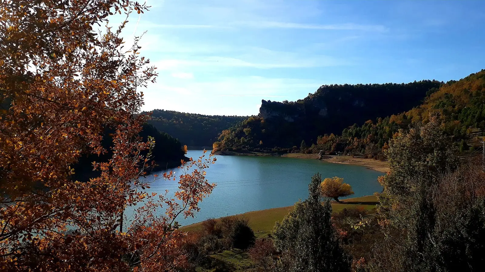
La Tosca reservoir
Santa María del Val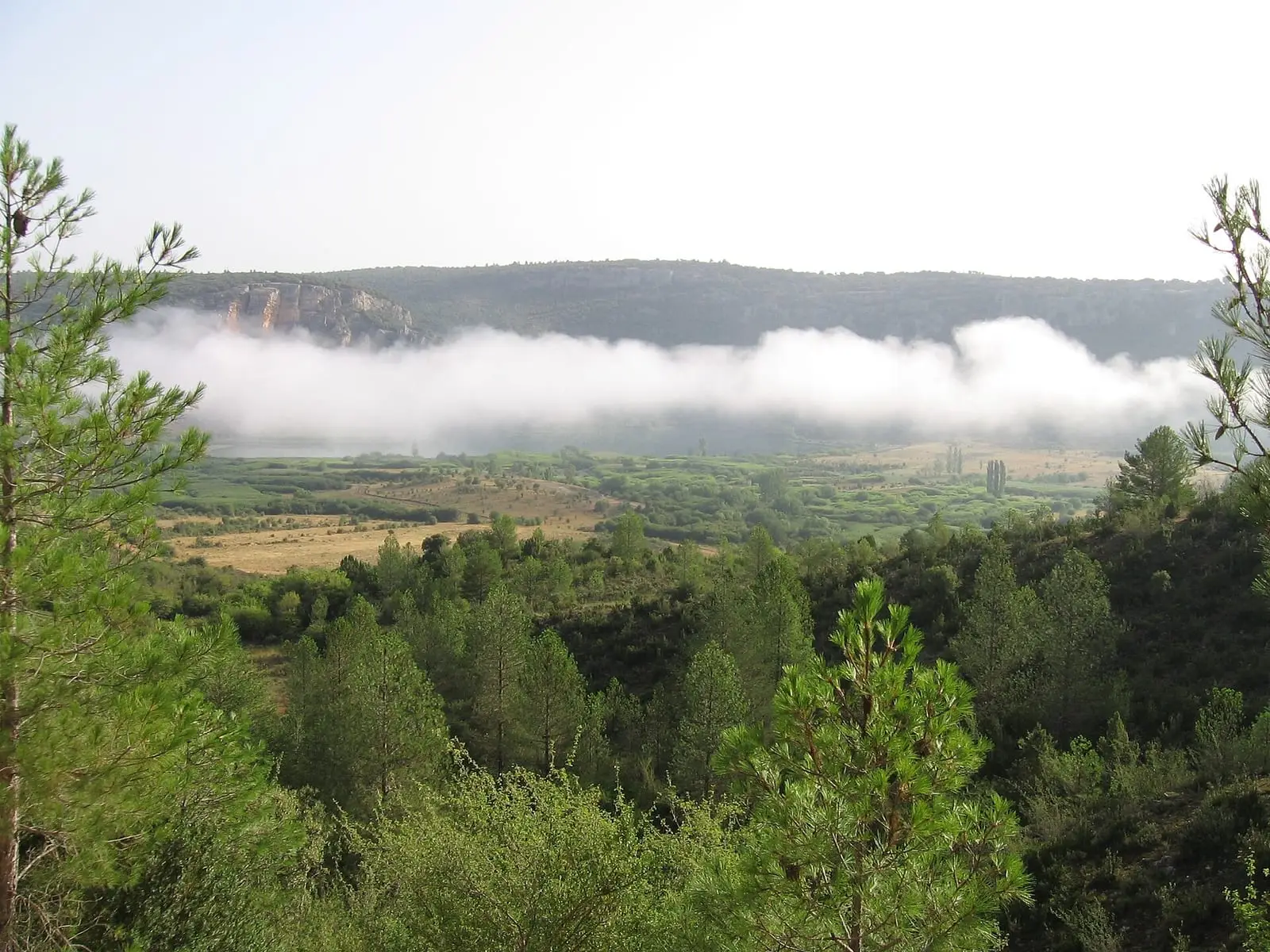
Lagunas de El Tobar
BetetaPopulation of Priego, 1842–2021
Priego reached 2,813 inhabitants in 1940. The 2021 census counted 894, 68 % fewer. It is the story told in the emptying.
Location
● Reference point · ● Villages · ● Places · ━ Routes nearby
Location sketch. The map with paths and names loads as you scroll to it.
Approximate position: village centre.
Reference villages: Cañamares · La Frontera · Fuertescusa · Cañizares.
Open the full map and its historical layers →Where the data on this page come from
- Location
- IGN: Nomenclátor Geográfico Básico de España, capital de municipio (CC BY 4.0) source consulted, 9 October 2026
«Source consulted»: the primary source has been read. «Reference located»: the source has been identified but not yet read. «Open question»: the figure needs confirmation.
More about Priego, told from the village: the Priego Town Council website.