Route · Fuentes
Sendero de las Navas
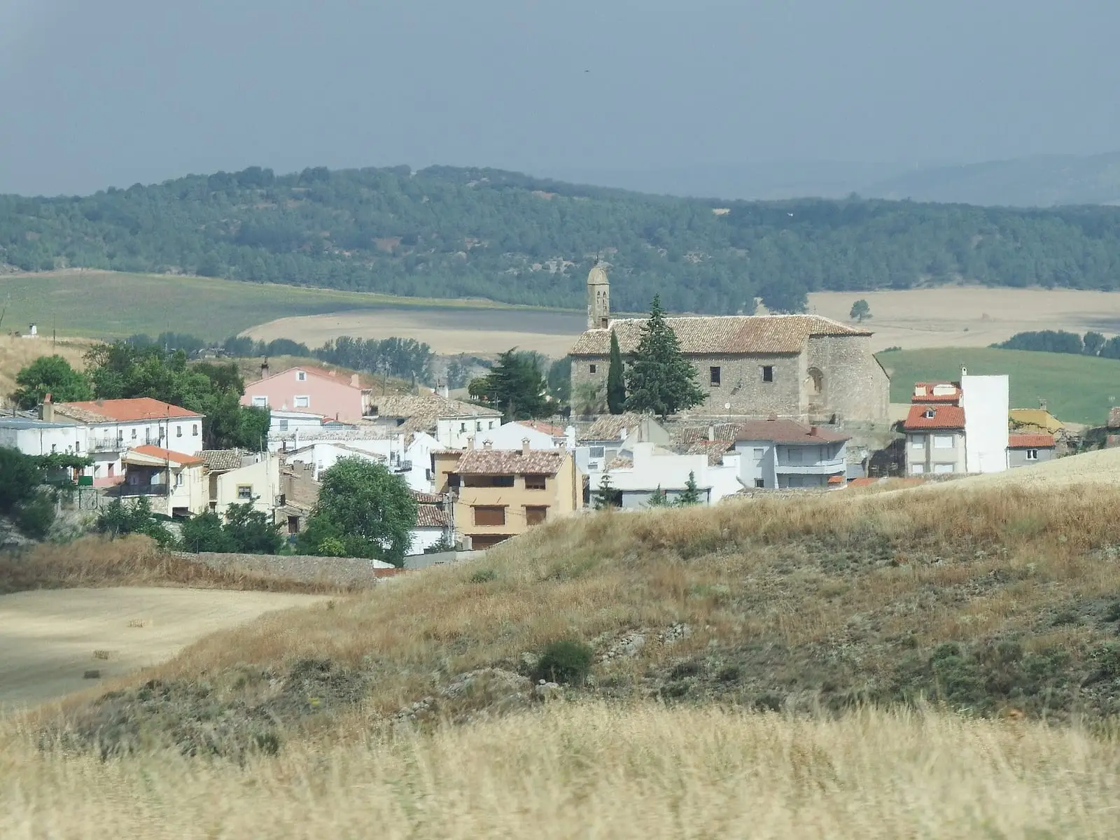
Sendero de las Navas is a circular route around Fuentes, between 1,000 and 1,200 m altitude: it climbs the Morrón slope, descends to La Nava, crosses farmland to Nava de los Abarcones, passes a rento, an isolated farmstead in the hills, and Pocico Valencia, and returns to the village. There are pens, wells and springs, and holm-oak and Portuguese-oak wood pasture.
Walking time without travel or stops. Difficulty estimated from distance and elevation gain where there is no official grading. «Easy» does not mean accessible.
- Trail
- Fuentes
- Rento
- Dehesa
- Pens
Where to start
In Fuentes village centre, heading south-east.
The route
It climbs the Morrón slope and descends gradually to La Nava. From there, heading north-east, it crosses farmland to Nava de los Abarcones, turns north, passes a rento house, an isolated farmstead in the hills, and reaches Pocico Valencia, before returning to the village. These are hills and hollows of rain-fed cereals and Mediterranean woodland, with livestock pens, wells and springs, and holm-oak and Portuguese-oak wood pasture.
Difficulty and time
Circular, between 1,000 and 1,200 m altitude. The Town Council publishes no distance or time.
Before you set out
The pens and rento house are private property: view them from the path.
Official route · Ayuntamiento de Fuentes. Description, track and notices on the official route page (in Spanish). Before you set out, check there for changes or closures.
Carry on from here
Lands and landscapes
From here, follow the memory of the land
These readings connect Sendero de las Navas with the stories, the work and the villages around it.
Where it is
Where the data on this page come from
- Name
- Diputación Provincial de Cuenca source consulted, 5 October 2026
- Municipality (INE code)
- Diputación Provincial de Cuenca source consulted, 5 October 2026
- Route data
- Diputación Provincial de Cuenca source consulted, 5 October 2026
«Source consulted»: the primary source has been read. «Reference located»: the source has been identified but not yet read. «Open question»: the figure needs confirmation.