Route · Las Valeras
SL-CU 3: Hoz del río Gritos y páramos de Las Valeras
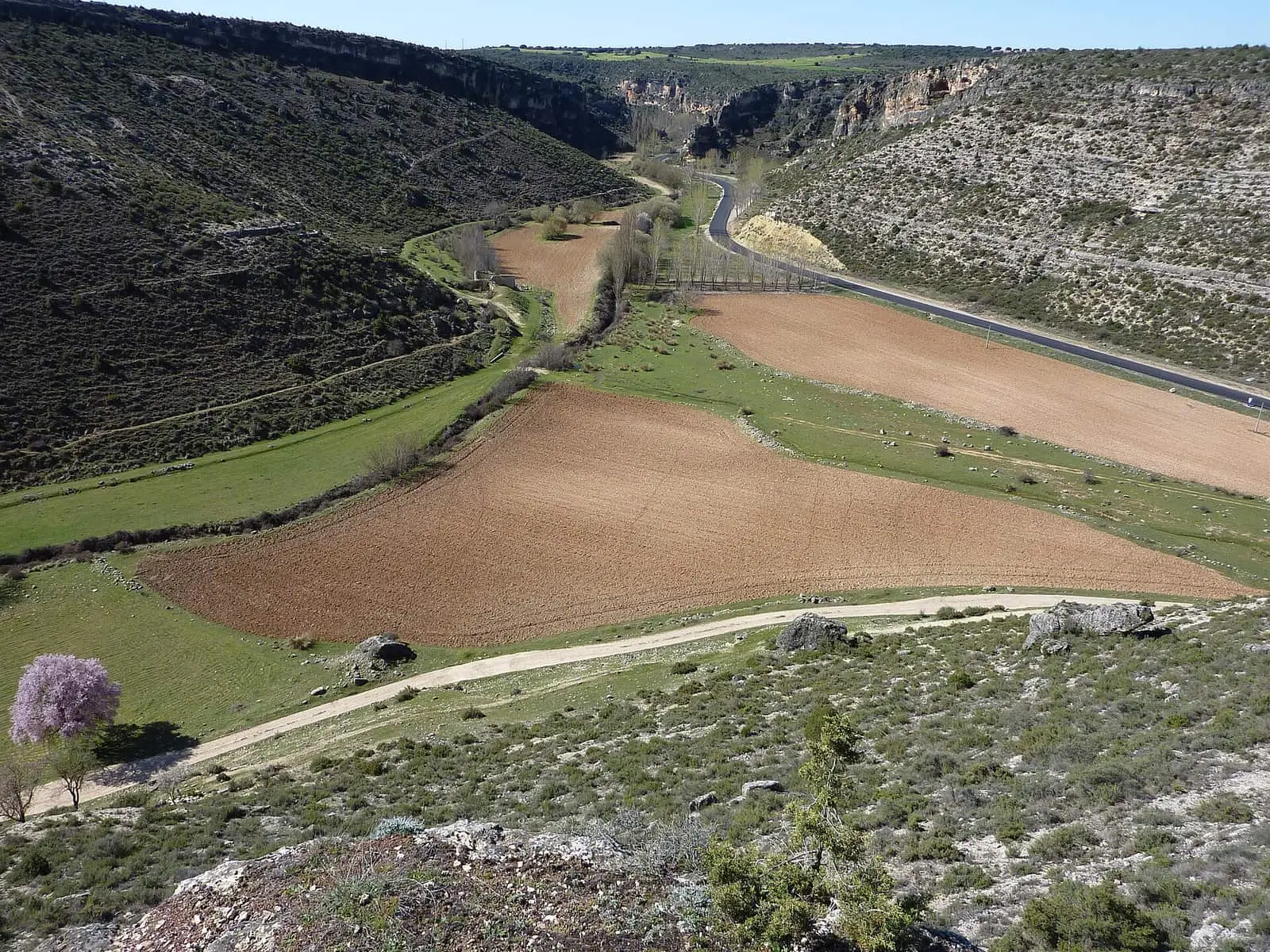
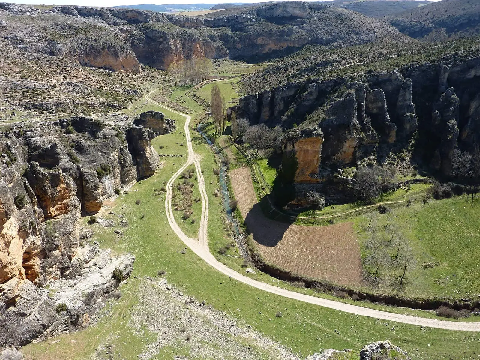
SL-CU 3, Hoz del río Gritos y páramos de Las Valeras, is an easy linear local trail of 16 km, starting at San Cristóbal hermitage near Valera de Abajo. It follows the Gritos channel through the gorge almost throughout, joins PR-CU 52 near Valeria and climbs to the cliffs and plateaux above.
- Code
- SL-CU 3
- Distance
- 16 km
- Elevation gain
- 323 m
- Time
- 3 h
- Layout
- Linear
- Difficulty
- Easy
Walking time without travel or stops. Check the source to see whether distance and time include the return. Difficulty as graded by the official source. «Easy» does not mean accessible.
- SL-CU 3
- Gritos river
- Las Valeras
- Gorge
Where to start
At San Cristóbal hermitage, near Valera de Abajo, in Las Valeras.
The route
It crosses the CM-2100 and enters the Hoz del Río Gritos along the right bank, almost always beside the river, with panels explaining the riverside. Near Valeria it joins PR-CU 52, a short-distance trail. After crossing the Gritos for the last time, it climbs an old bridle path to the cliffs and plateaux above, overlooking Valeria. Return the same way.
Difficulty and time
Linear, 16 km and 323 m of elevation gain, 2 to 4 hours. Easy.
Before you set out
Birds of prey breed on the cliffs: keep away from nests.
Official route · Federación de Deportes de Montaña de Castilla-La Mancha y Diputación de Cuenca (Senderos de Cuenca) (SL-CU 3). Description, track and notices on the official route page (in Spanish). Before you set out, check there for changes or closures.

Frequently asked questions
Is it circular?
No: it is linear, returning the same way. It is 16 km long, with 323 m of elevation gain and 2 to 4 hours.
How many times is the river crossed?
Several times; the last, near Valeria, before the climb to the plateau.
Carry on from here
Where it is
● Villages · ● Places · ━ Simplified official route
Location sketch. The map with paths and names loads as you scroll to it.
Reference villages: Las Valeras · Monteagudo de las Salinas · Fuentes · Reíllo.
Open the full map and its historical layers →Where the data on this page come from
- Name
- Federación de Deportes de Montaña de Castilla-La Mancha (FDMCM) / Senderos de Cuenca source consulted, 10 October 2026
- Municipality (INE code)
- Federación de Deportes de Montaña de Castilla-La Mancha (FDMCM) / Senderos de Cuenca source consulted, 10 October 2026
- Route data
- Federación de Deportes de Montaña de Castilla-La Mancha (FDMCM) / Senderos de Cuenca source consulted, 10 October 2026
«Source consulted»: the primary source has been read. «Reference located»: the source has been identified but not yet read. «Open question»: the figure needs confirmation.