Route · Laguna del Marquesado
SL-CU 15: Sendero de la Laguna del Marquesado
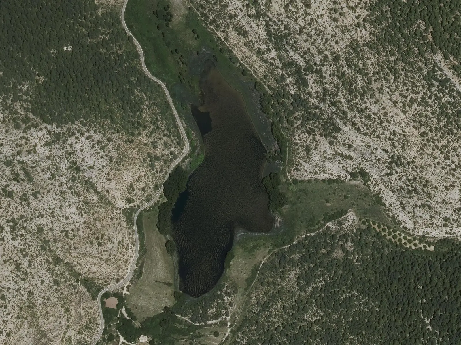
SL-CU 15, Sendero de la Laguna del Marquesado, is an easy circular local trail of 5 km with 137 m of elevation gain between the village and the nature reserve's karst lake. It follows the Soto stream, climbs to a viewpoint with broad lake views and returns by a wooden footbridge and the left bank.
- Code
- SL-CU 15
- Distance
- 5 km
- Elevation gain
- 137 m
- Layout
- Circular
- Difficulty
- Easy
Walking time without travel or stops. Difficulty as graded by the official source. «Easy» does not mean accessible.
- SL-CU 15
- Laguna del Marquesado
- Nature Reserve
Where to start
At the entrance to Laguna del Marquesado, beside the CM-2106.
The route
It heads east, leaves the vegetable gardens behind and closely follows the Soto stream, which formed the lake by building its tufa barrier; it crosses it twice. Near the lake it turns west, crosses the road and climbs among pines, Portuguese oaks and maples to a viewpoint over the lake, with birds and aquatic plants. It descends, crosses the road again and the stream on a wooden footbridge, returning along the left bank.
Difficulty and time
Circular, 5 km and 137 m of elevation gain. Easy.
Before you set out
In 2023 the regional government studied a new alignment to move the trail away from the road section without a shoulder. Ask in the village which route is waymarked.
The lake is a nature reserve: view it from the trail without stepping onto the shores.
Official route · Federación de Deportes de Montaña de Castilla-La Mancha y Diputación de Cuenca (Senderos de Cuenca) (SL-CU 15). Description, track and notices on the official route page (in Spanish). Before you set out, check there for changes or closures.
Frequently asked questions
What can be seen from the viewpoint?
The lake, with birds and aquatic plants.
What role does the Soto stream play?
It is the stream that formed the lake by building its tufa barrier.
Carry on from here
Lands and landscapes
From here, follow the memory of the land
These readings connect Sendero de la Laguna del Marquesado with the stories, the work and the villages around it.
Where it is
● Villages · ● Places · ━ Simplified official route
Location sketch. The map with paths and names loads as you scroll to it.
Reference villages: Laguna del Marquesado · Huerta del Marquesado · Zafrilla · Tejadillos.
Open the full map and its historical layers →Where the data on this page come from
- Name
- Federación de Deportes de Montaña de Castilla-La Mancha (FDMCM) / Senderos de Cuenca source consulted, 4 October 2026
- Federación de Deportes de Montaña de Castilla-La Mancha source consulted, 5 October 2026
- Municipality (INE code)
- Federación de Deportes de Montaña de Castilla-La Mancha (FDMCM) / Senderos de Cuenca source consulted, 4 October 2026
- Route data
- Federación de Deportes de Montaña de Castilla-La Mancha (FDMCM) / Senderos de Cuenca source consulted, 4 October 2026
- Federación de Deportes de Montaña de Castilla-La Mancha source consulted, 5 October 2026
«Source consulted»: the primary source has been read. «Reference located»: the source has been identified but not yet read. «Open question»: the figure needs confirmation.