Village on the edge of the Serranía · Cuenca
Las Valeras
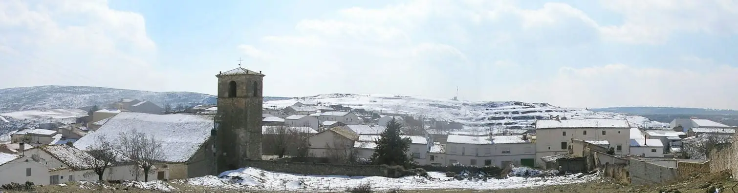
Las Valeras is a municipality in the Serranía, formed by the merger of Valera de Abajo and Valeria, beside the Gritos river. It contains Valeria, a Roman city founded between 93 and 82 BC, and Pico de la Muela, a Bronze and Iron Age settlement excavated again in 2025, fifty years after the first campaigns.
On this page 15 sections
- A municipality of two villages
- Valeria
- Pico de la Muela
- Pozo Airón and the episcopal see
- When Valeria made its living
- The village of doors
- From bridge to bridge
- From sawdust to the four-sided planer
- The Santo Niño and the Rosario
- The Hoz de Valeria
- Plan your visit
- Frequently asked questions
- Carry on from here
- Population
- Location
A municipality of two villages
Las Valeras was formed by the union of Valera de Abajo and Valeria, two villages beside the Gritos river, in 1971; the INE records it in the 1981 census. In the Middle Ages they were called Valera de Suso and Valera de Yuso, and later Valera de Arriba and Valera de Abajo: the poor daughters of the great Roman city. In 1959 the upper village recovered the name Valeria. With around fifteen hundred inhabitants, it is one of the atlas’s most populous municipalities.
Valeria
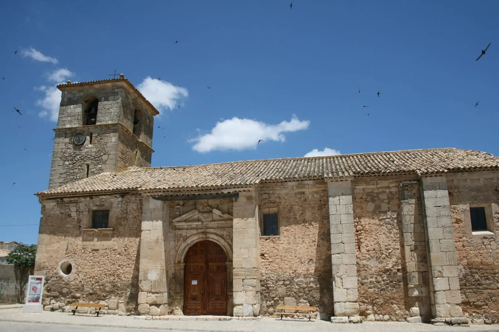
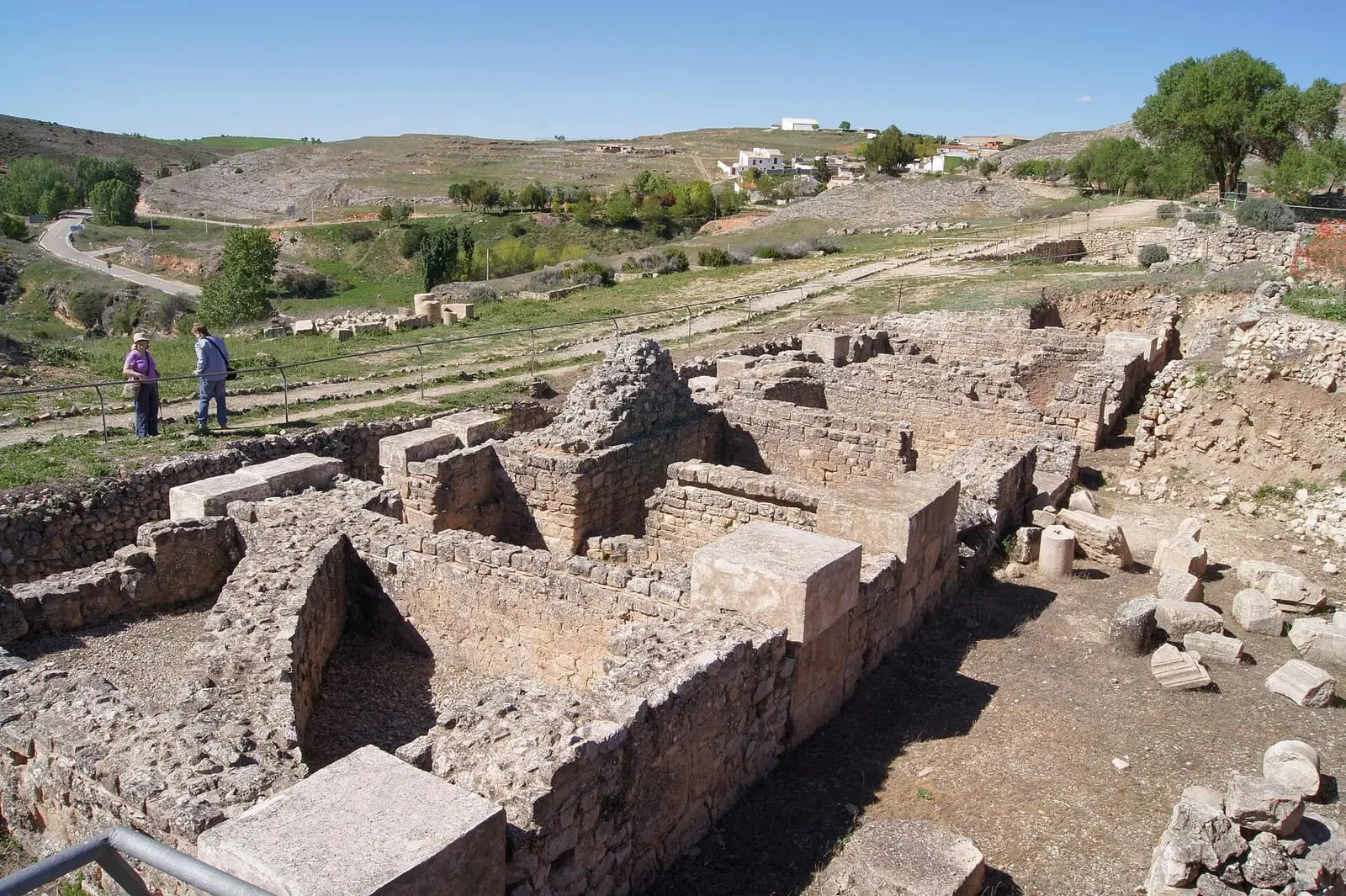
Beside the village of Valeria stand the ruins of Valeria, a Roman city founded between 93 and 82 BC. Its territory extended to other mountain villages, such as the La Veguilla necropolis in Arguisuelas. It is one of Castilla-La Mancha’s archaeological sites open to visitors. The village also has the church of Nuestra Señora de la Sey.
Pico de la Muela
About four kilometres from the Roman city, on a hill above the Gritos river, is Pico de la Muela, a small settlement excavated between 1975 and 1977, with Bronze Age and Iberian material from the 4th century BC. Excavation resumed in 2025, fifty years later.
Pozo Airón and the episcopal see
Valeria’s church is called Sey, meaning the see, because Visigothic Valeria had bishops. It was built in the 13th century with stone from the Roman city: when plaster was recently removed from the pillars, shafts and capitals were found inside. Within is a well, Pozo Airón, named after a Celtiberian god of water and the underworld, and Hernando Ruiz de Alarcón, lord of Valera, is buried there beneath his statue. Each summer the village dresses as Romans to celebrate the city’s foundation.
When Valeria made its living
In 1752 Valeria had about 900 inhabitants, 38 muleteers trading in oil and iron, ox-cart drivers carrying timber and wintering in Alcudia and Andalucía, and some three hundred donkeys: at least one per household. There were nine weavers, four carders, two smithies and four hundred beehives. Until the 1960s the village had seven shops, barbers, three social clubs where people danced on Sundays and three mills on the Gritos, those of Amós, Herráiz and Antoliano. Valeria’s smiths spent most of their time making nails for the doors of Valera de Abajo. White sand from Puente del Arenal, beside the Cueva de la Paloma, was used to scour pans and crockery without using water, and the surplus was sold at Valverde del Júcar’s Saturday market. The last dulero, who took the village’s working animals out to graze at the sound of a conch shell, continued until the early 1950s.
The real money came from saffron. The roseras, flower gatherers, went out before dawn to pick the flowers; in the afternoon the stigmas were separated in the street or beside the fire, and at night the threads were toasted on a rack. In the mid-20th century saffron fields were planted in the Dehesa de El Hoyo de Santa Catalina, and the Roman city was later found beneath those bulbs. Some families built their houses with the money paid by the saffron buyer.
The village of doors
In the mid-18th century, in the Ensenada Cadastre, Valera de Arriba lived chiefly from muleteering, ranking seventh in the province by earnings, and the flatter Valera de Abajo from farming; it already had ten shoemakers and tanners. Valera de Abajo’s domestic carpentry workshops became an industry: in 2018 it had more than ninety timber businesses, almost all making doors and windows sold throughout Spain and abroad. The two villages’ histories therefore run in reverse: in 1860 Valera already exceeded Valeria, and in 2021 Valeria had 61 inhabitants and Valera de Abajo 1,421. In early January Valera celebrates its Moors and Christians festivities, with plenty of gunpowder.
Beside Valera de Abajo, on the way to Valverde, the twin gypsum kilns of Los Yesares can still be seen, with the quarry behind and the threshing floor where the stone was ground: while one fired, the other was loaded. This «pardo» (brown) gypsum, reddish from the clay, was used to render local façades; the finer white gypsum was kept for painting interiors.
From bridge to bridge
Below Valeria, the waters of the Gritos were used between two bridges: the one called Roman, which ethnographer Tirso Moreno of Vestal Etnografía associates with an approach to the mountains from the south, and the Chumillas bridge, where the gorge opens onto the fields of Los Vallejones. Between them, in limestone narrows called El Canalón, a channel cut in the rock carried water to gardens and mills; no one has studied whether it is Roman or later. The gardens had plum, pear, quince, apple and walnut trees. The Amós mill already appears in the Ensenada Cadastre of 1752, seven hundred paces from the village, and stopped in the 1970s; there was another which the radio calls Raíz, perhaps the same one other sources call Herráiz, Antoliano’s towards Valera de Abajo, and a fulling mill. At the end is Fuente de las Huertas, where people fetched water with their working animals and livestock also drank. The Town Council and Vestal have prepared an interpreted route, «De puente a puente» (from bridge to bridge).
From sawdust to the four-sided planer
The village story is that carpenters settled in Valera around 1500 because some marquises liked the doors they made for a palace so much that they allowed them to stay; there is no document proving it. In 2023 the mayor spoke of around a hundred businesses and, in his account, seventy per cent of people earning a living in some way from timber, and of the succession problem: owners are ageing, young people leave to study and some workshops close.
Two brothers from a third-generation family workshop with about ninety years of history described how the trade has changed. One started at twelve, sweeping sawdust in summer; machines were already there when he arrived, and he remembers as a milestone the cuatro caras, a planer that dressed all four sides of a piece at once, and the large sander that ended hand-sanding of doors. Their parents went to auctions of Cuenca’s forests, bought logs, sawed them and left them to dry; today almost all the timber arrives as dried boards from Sweden, Finland or Africa, although Cuenca pine is still used. They once made only door leaves, which other firms varnished, fitted with hardware and sold; when that business collapsed with the construction crisis of 2008, they began finishing, painting, delivering and installing the doors themselves, sending them throughout Spain.
The Santo Niño and the Rosario
The main festival is that of the Santo Niño, in January, with Moors and Christians and the dichos, a battle in verse, on the third Sunday. Participants believe it to be very old, perhaps dating from 1500, without knowing its origin. People are usually Moors or Christians by family, although some change through friendship. Each company has its offices: captain, standard-bearing lieutenant, who carries and keeps the flag for two years, and sargento del pincho, served in turn from a list on which some have been registered since 1987, and general and corporal, for which people volunteer. Families sew the Moorish costume, with baggy trousers and embroidered waistcoat and shirt; the Christian costume is black, with a Castilian cloak and a small bunch of flowers on the hat. The dulzaina, a traditional shawm, and tabor play a different march for each office, and on Monday night the Niño is bid farewell. In 2023 women took part, according to them, more from outside the ranks.
In March 2026 a spokeswoman for the Moras y Cristianas collective told the other side: women sew the costumes, cook, clean and clear up, but cannot join the ranks or hold office, fire the volleys or recite the dichos. They ask to join as members, with rights and duties, and to be able to become generals. Their slogan is «La mujer también es tradición» (women are tradition too). She said they had been seeking dialogue for years; that the ranks had replied that they would not meet; that the association organising the festival had dissolved the previous year, which the women interpreted as a way of leaving them without anyone to negotiate with; and that meetings with the Town Council and parish had not opened that conversation. They felt support from women and men, including some members of the ranks, although more outside the village than within it. This is the collective’s account; that of the organisers is missing.
October brings the Rosario festivities, with a festival queen, groups of friends (around thirty in 2023) and a communal meal. The village has its own dance bands: Grupo Valera turned forty in 2023 and the Dier orchestra was founded here in 2011. The same family has played the village’s mayos, May songs, on the accordion for three generations.
The Hoz de Valeria
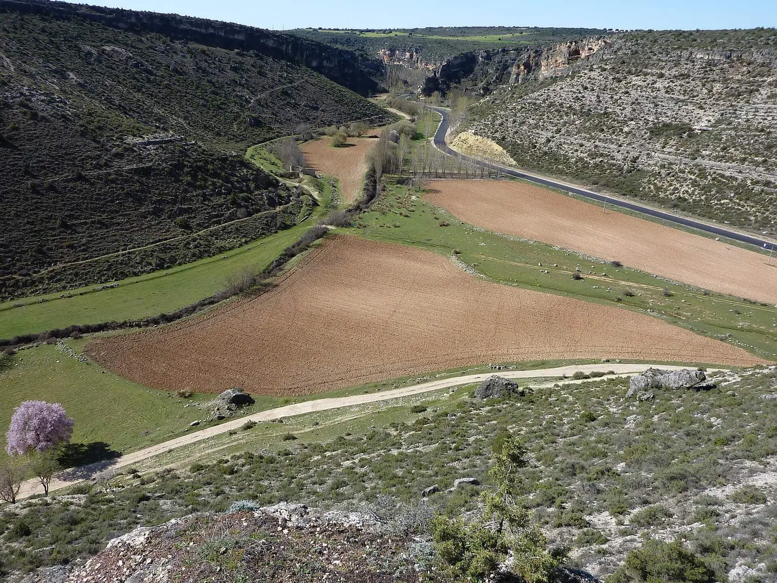
The Gritos cuts down beneath the ruins in the Hoz de Valeria, the last gorge of the Serranía. Egyptian vultures, Bonelli’s eagles, peregrine falcons, eagle owls and wallcreepers can be seen on the cliffs, and Dupont’s larks above on the rosemary and juniper plateaux. The gorge and plateaux are a Special Protection Area for birds. In the Sierra del Monje, the Cueva de la Judía is a micro-reserve for its bats. Only one of the large flocks remains, with about 300 sheep, but their shelters still stand on the plateaux: a 2023 study of the tainas, livestock shelters, counted 78 in the municipality. Each combines an open pen, a shelter for the flock and the shepherd’s hut, built of dry stone with local gypsum reinforcing lintels and walls, and facing the sun; the tiled roof rests on beams supported by machones, thick juniper or pine posts. Unused, stripped of tiles and letting in water, many are collapsing, and little owls and hoopoes now nest in their gaps.
Plan your visit
Valeria is the main stop: check opening times and conditions on the regional government’s portal for archaeological sites open to visitors.
Before you travel
Pico de la Muela is an archaeological site under excavation: independent visits are not allowed. Do not collect anything at any archaeological site or enter cordoned-off areas.
Frequently asked questions
What is Valeria?
A Roman city founded between 93 and 82 BC, according to the Castilla-La Mancha Culture entry, whose archaeological site is beside the present village of Valeria, in Las Valeras. The site is open to visitors.
What is Pico de la Muela?
A hilltop settlement beside the Gritos river, about 4 km from Valeria, excavated by Santiago Valiente Cánovas in 1975, 1976 and 1977, with work resumed in 2025 with Provincial Council funding. The attributed sequences run from the Bronze Age to Roman times, with later medieval occupation.
When was the municipality formed?
Between the 1970 and 1981 censuses, through the merger of Valera de Abajo and Valeria. Its population was 1,577 in 1981 and 1,476 in 2021.
Carry on from here
The rivers, zones, eras, places and official routes that the atlas links with Las Valeras.
Traces in the village and around it
Which eras you can read here
A single place can keep traces of several periods. These layers connect what you see with the atlas's stories.
Places in the municipality and around it
Official routes
Near Las Valeras

Las Hoyas
La Cierva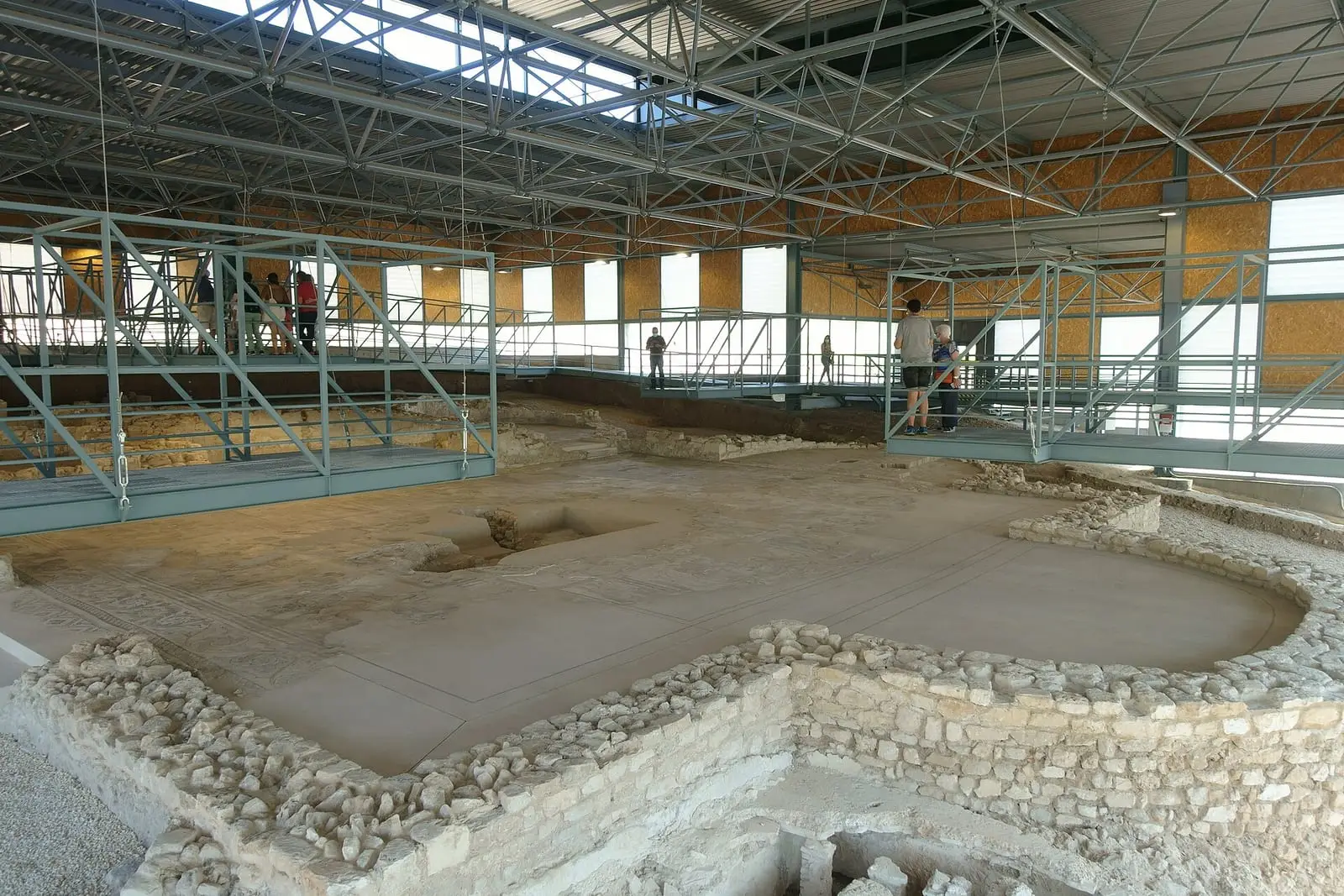
Roman villa of Noheda
Villar de Domingo García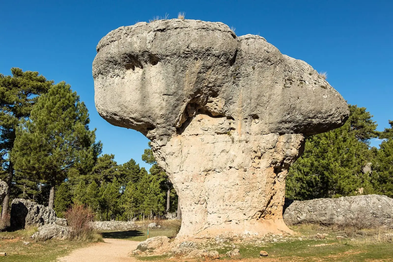
Ciudad Encantada de Cuenca
CuencaSee 5 more
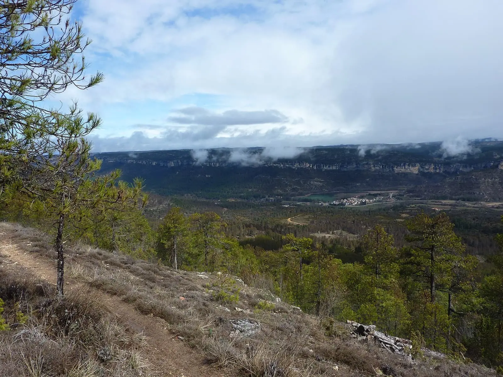
Uña viewpoint
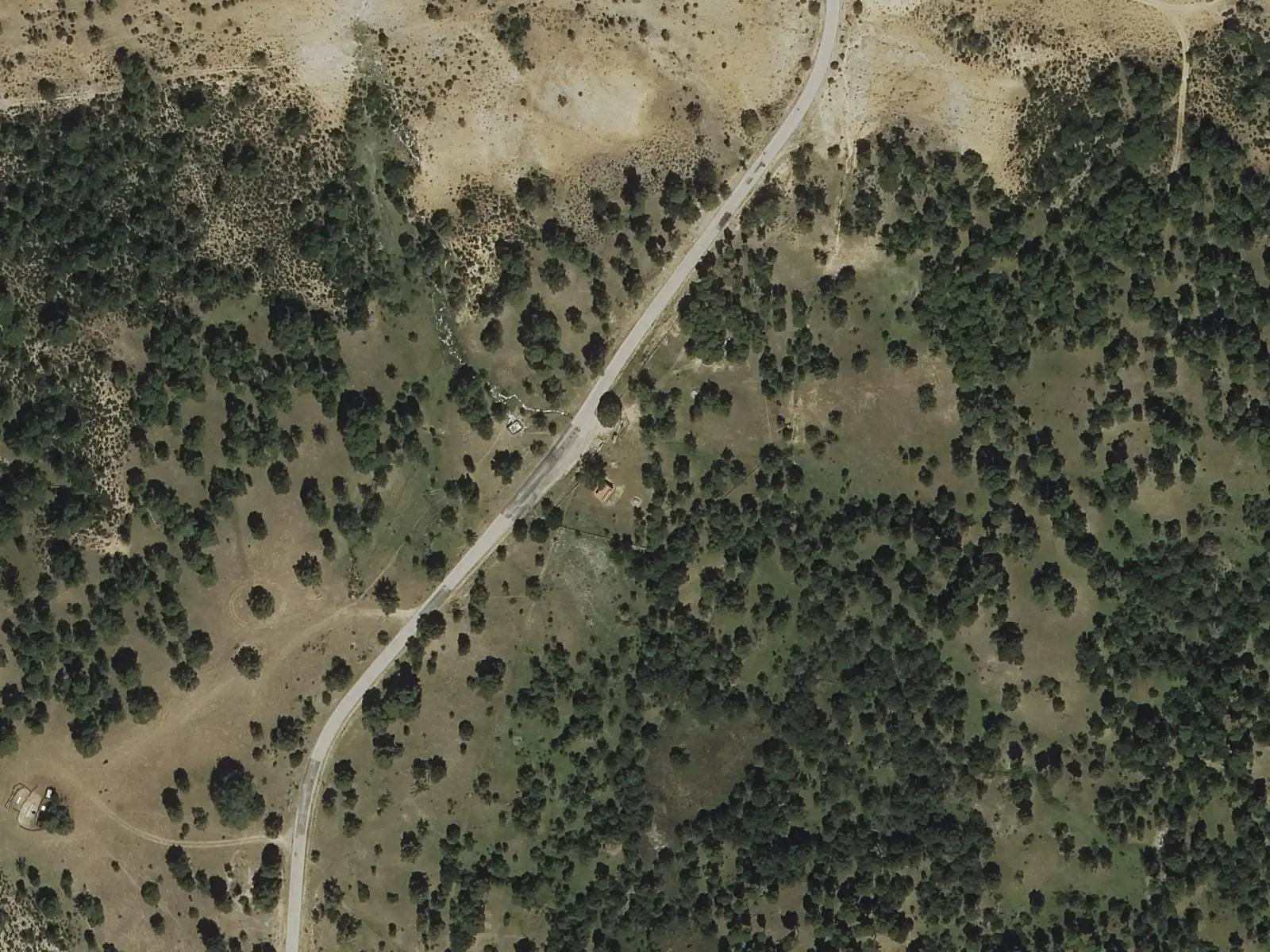
Fuente del Arenazo picnic area
Cuenca
Piedra Yunque
Villalba de la Sierra
Travertino viewpoint, Uña
Uña
Uña Visitor Reception Centre
UñaPopulation of Las Valeras, 1981–2021
Las Valeras reached 1,667 inhabitants in 2011. The 2021 census counted 1,476.
Location
● Reference point · ● Villages · ● Places · ━ Routes nearby
Location sketch. The map with paths and names loads as you scroll to it.
Approximate position: village centre.
Reference villages: Monteagudo de las Salinas · Fuentes · Reíllo · Arguisuelas.
Open the full map and its historical layers →Where the data on this page come from
- Location
- IGN: NGBE, capital de municipio, origen NGMEP (CC BY 4.0) source consulted, 9 October 2026
«Source consulted»: the primary source has been read. «Reference located»: the source has been identified but not yet read. «Open question»: the figure needs confirmation.