Archaeological site · Enguídanos
Cerro Cabeza Moya
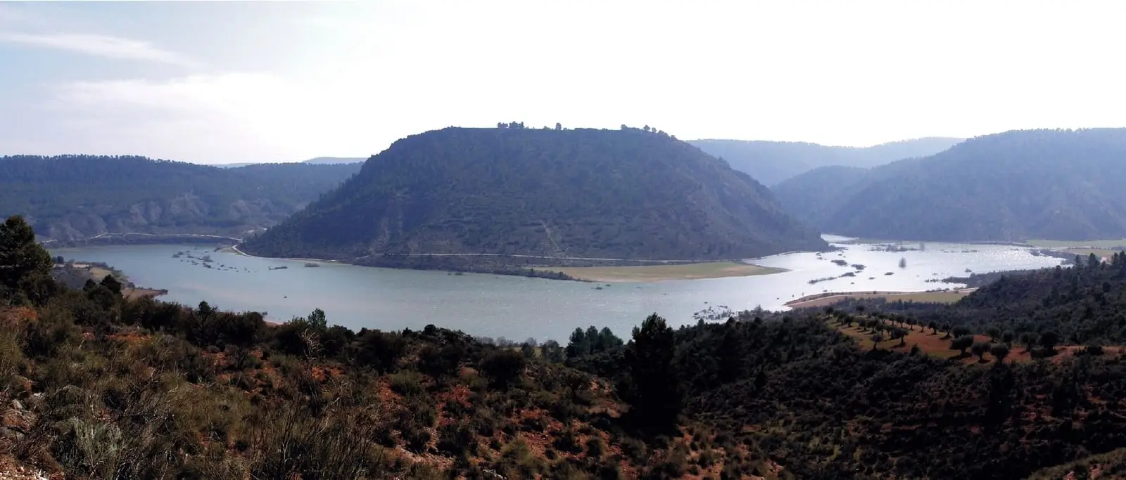
Cabeza Moya is a fortified Celtiberian settlement on a hill above the Cabriel, within Enguídanos. Occupied between the 5th and 3rd centuries BC, it ended in a fire, perhaps during conflict with Rome. Excavations in the 1980s found square and rectangular houses, local and Greek pottery and Roman coins.
- Municipality
- Enguídanos
- Celtiberians
- Cabeza Moya
- Enguídanos
- Cabriel
- Iron Age
A settlement that burnt
Above the Cabriel, within Enguídanos, a hill preserves a walled Celtiberian settlement. Occupied between the 5th and 3rd centuries BC, it was the main centre for smaller valley settlements linked to herding. Excavations by Josefina Navarro and Carlos Sandoval in the 1980s uncovered square and rectangular houses, local pottery, Greek pottery and Roman coins.
The settlement ended in a fire. The regional government cautiously suggests it may have occurred during wars with Rome; comparison with the excavation report remains outstanding.
Plan your visit
Before you travel
This is an archaeological site in the countryside: collect nothing and do not climb walls.
Combine with
Las Chorreras del Cabriel and Enguídanos castle.
Frequently asked questions
What was found?
Square and rectangular houses, locally made and Greek pottery, and Roman coins, during Josefina Navarro and Carlos Sandoval's campaigns.
Carry on from here
Lands and landscapes
From here, follow the memory of the land
These readings connect Cerro Cabeza Moya with the stories, the work and the villages around it.
This place through time
Which eras you can read here
A single place can keep traces of several periods. These layers connect what you see with the atlas's stories.
Where it is
Where the data on this page come from
- Name
- Dirección General de Turismo, Comercio y Artesanía de Castilla-La Mancha: «Yacimiento Celtíbero del Cerro Cabeza Moya» source consulted
- Ministerio de Agricultura, Alimentación y Medio Ambiente: «Real Decreto 1076/2014, de 19 de diciembre, sobre asignación de derechos de régimen de pago básico de la Política Agrícola Común» (2014) source consulted
- Municipality (INE code)
- Dirección General de Turismo, Comercio y Artesanía de Castilla-La Mancha: «Yacimiento Celtíbero del Cerro Cabeza Moya» source consulted
- Ministerio de Agricultura, Alimentación y Medio Ambiente: «Real Decreto 1076/2014, de 19 de diciembre, sobre asignación de derechos de régimen de pago básico de la Política Agrícola Común» (2014) source consulted
- theme
- Rodríguez González (2023), pp. 95–96: poblado de Cabeza de Moya source consulted, 9 October 2026
- tags
- Rodríguez González (2023), pp. 95–96: poblado de Cabeza de Moya source consulted, 9 October 2026
«Source consulted»: the primary source has been read. «Reference located»: the source has been identified but not yet read. «Open question»: the figure needs confirmation.