Route · Víllora
PR-CU 55: Vuelta a Cabeza de Víllora
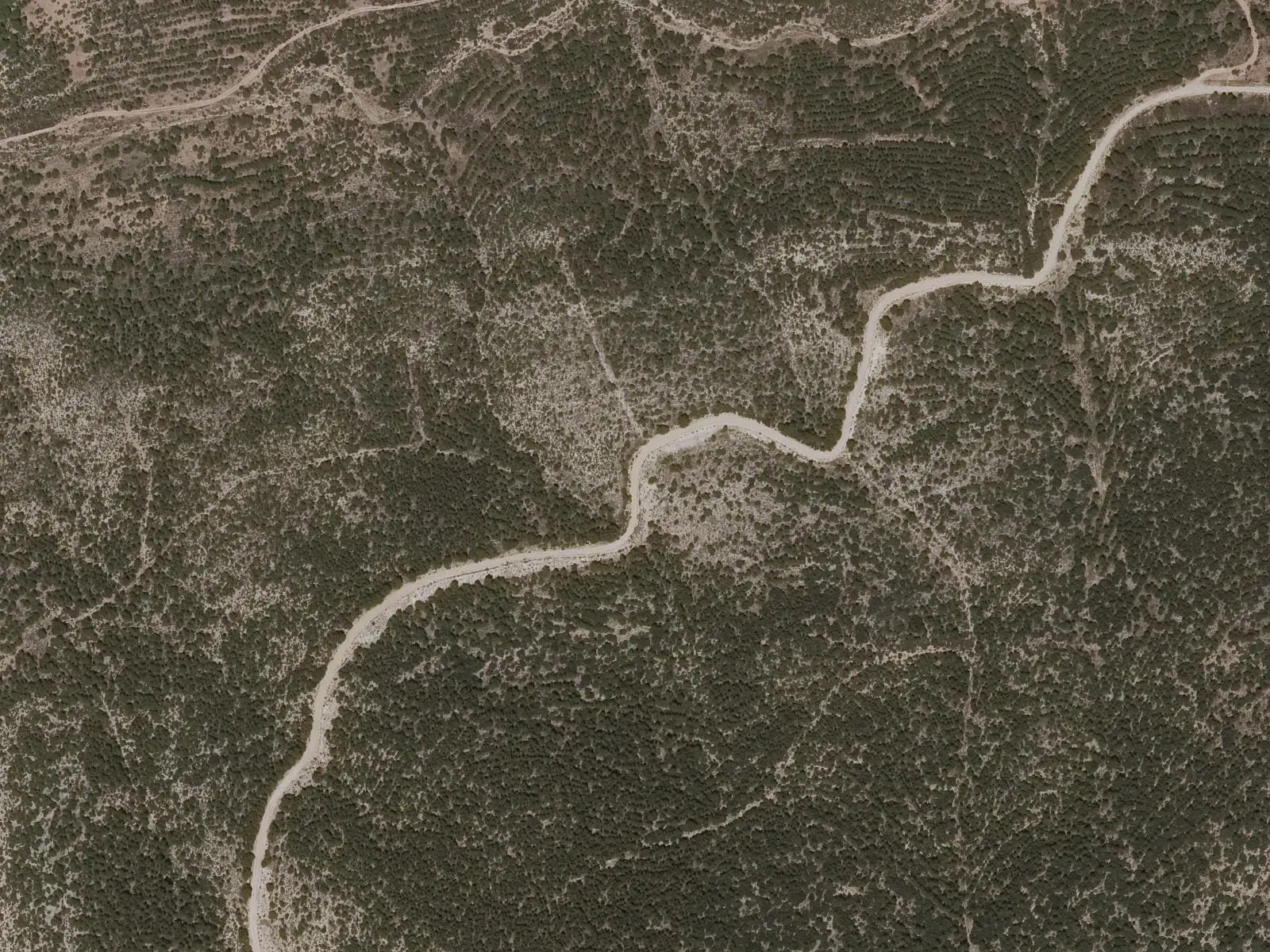
PR-CU 55, Vuelta a Cabeza de Víllora, is a circular short-distance trail of 12.5 km with 294 m of elevation gain and moderate difficulty according to Senderos de Cuenca; the town council website gives 15.5 km. It circles the hill along tracks and through pine forest, with spurs to the San Martín river gorges viewpoint and Cabeza summit, at 1,207 m.
- Code
- PR-CU 55
- Distance
- 12.5 km
- Elevation gain
- 294 m
- Layout
- Circular
- Difficulty
- Moderate
Walking time without travel or stops. Difficulty as graded by the official source. «Easy» does not mean accessible.
- PR-CU 55
- Víllora
- Cabeza de Víllora
- San Martín river
Where to start
In Víllora, along a track overlooking the valley fields and vegetable gardens.
The route
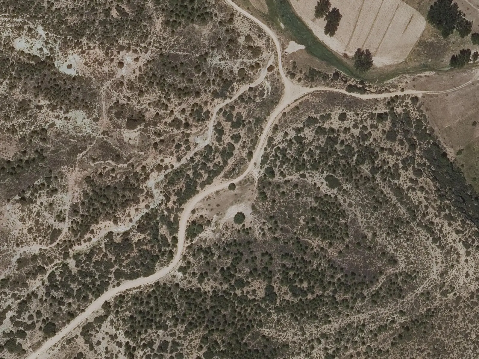
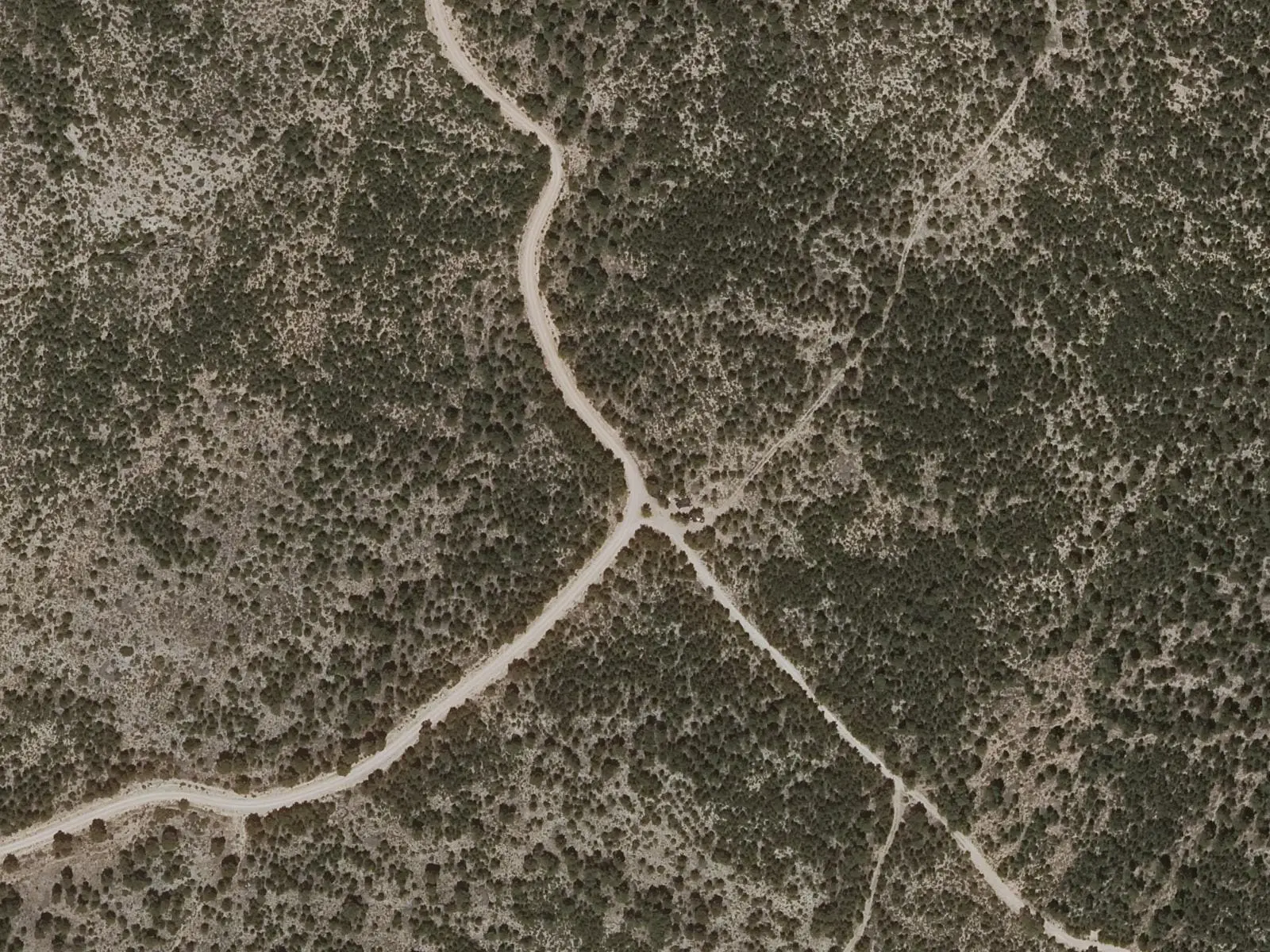
A spur leads to the San Martín river gorges viewpoint. A long descent reaches a valley floor, followed by a long climb around the hill through increasingly dense pine forest. Another spur climbs to Cabeza de Víllora, at 1,207 m, the hill on whose slope the village stands, with a very broad view. The return descends a track narrowing into a steep path and enters Víllora by the cemetery.
Difficulty and time
Circular, of moderate difficulty, with 294 m of elevation gain. The length is unclear: 12.5 km according to the Senderos de Cuenca website, 11.5 km according to its leaflet and 15.5 km according to the town council website.
Before you set out
Confirm the route in the official register before setting out.
Official route · Federación de Deportes de Montaña de Castilla-La Mancha y Diputación de Cuenca (Senderos de Cuenca) (PR-CU 55). Description, track and notices on the official route page (in Spanish). Before you set out, check there for changes or closures.
Frequently asked questions
How many kilometres is it?
12.5 according to Senderos de Cuenca; 15.5, with a variant of about 4 km to the summit, according to the town council website.
Which spurs does it have?
To the San Martín gorges viewpoint and the Cabeza de Víllora summit.
Carry on from here
Lands and landscapes
From here, follow the memory of the land
These readings connect Vuelta a Cabeza de Víllora with the stories, the work and the villages around it.
Where it is
● Villages · ● Places · ━ Simplified official route
Location sketch. The map with paths and names loads as you scroll to it.
Reference villages: Víllora · Cardenete · Enguídanos · Narboneta.
Open the full map and its historical layers →Where the data on this page come from
- Name
- Federación de Deportes de Montaña de Castilla-La Mancha / Diputación de Cuenca source consulted, 4 October 2026
- FDMCM · Diputación Provincial de Cuenca source consulted, 4 October 2026
- Ayuntamiento de Víllora source consulted, 5 October 2026
- Municipality (INE code)
- Federación de Deportes de Montaña de Castilla-La Mancha / Diputación de Cuenca source consulted, 4 October 2026
- FDMCM · Diputación Provincial de Cuenca source consulted, 4 October 2026
- Ayuntamiento de Víllora source consulted, 5 October 2026
- Route data
- Federación de Deportes de Montaña de Castilla-La Mancha / Diputación de Cuenca source consulted, 4 October 2026
- FDMCM · Diputación Provincial de Cuenca source consulted, 4 October 2026
- Ayuntamiento de Víllora source consulted, 5 October 2026
«Source consulted»: the primary source has been read. «Reference located»: the source has been identified but not yet read. «Open question»: the figure needs confirmation.