Júcar river basin district · memory of water
The Cabriel in the Serranía de Cuenca
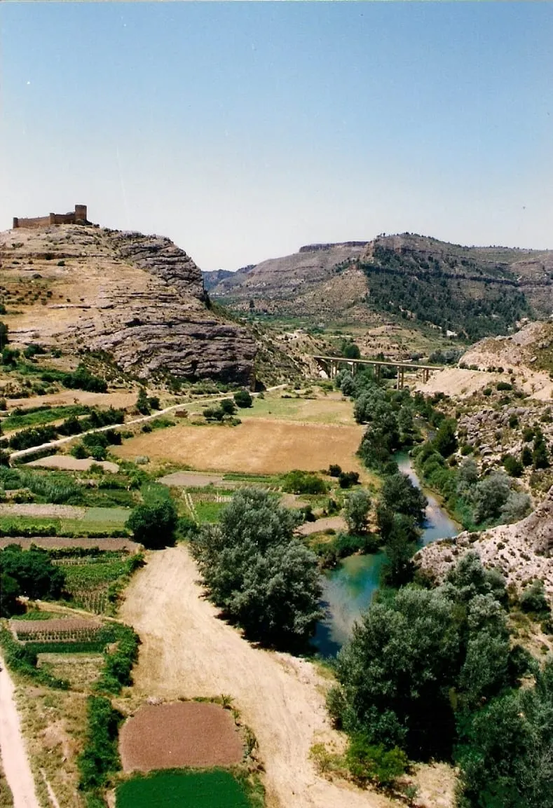
The Cabriel is a tributary of the Júcar crossing the east of the province of Cuenca through the Serranía Baja (lower Serranía). It gives its name to the Valle del Cabriel Biosphere Reserve, designated in 2019, with 421,765.93 hectares and 37 Cuenca municipalities. Logs floated down it until the mid-20th century; today its Chorreras in Víllora and Iberian sanctuary in Mira are known.
- Flows into
- The Júcar
- Confidence of the data
- high · source consulted
The BOE describes it as a river system tributary to the Júcar.
A tributary of the Júcar
The Cabriel crosses the east of the province through the Serranía Baja and flows into the Júcar. It passes Boniches, Pajaroncillo, Mira, Víllora, Enguídanos and La Pesquera. In Enguídanos it receives the Guadazaón; the Vencherque, which rises in San Martín de Boniches, joins it beyond Villar del Humo.
Its valley has been a Biosphere Reserve since 19 June 2019: about 421,766 hectares in 37 Cuenca municipalities.
What the river tells
- A river of logs. From the Middle Ages to the mid-20th century, with the thaw, the gancheros, river timber drivers, drove logs down the Cabriel towards the Júcar and Levante; the woods of Boniches supplied them, and its riverbanks were loading points. The trade on the rivers of the Tagus is told in The gancheros of the Escabas and Guadiela.
- Light from the river. In Boniches, the Molino de la Luz supplied the village with electricity from 1915.
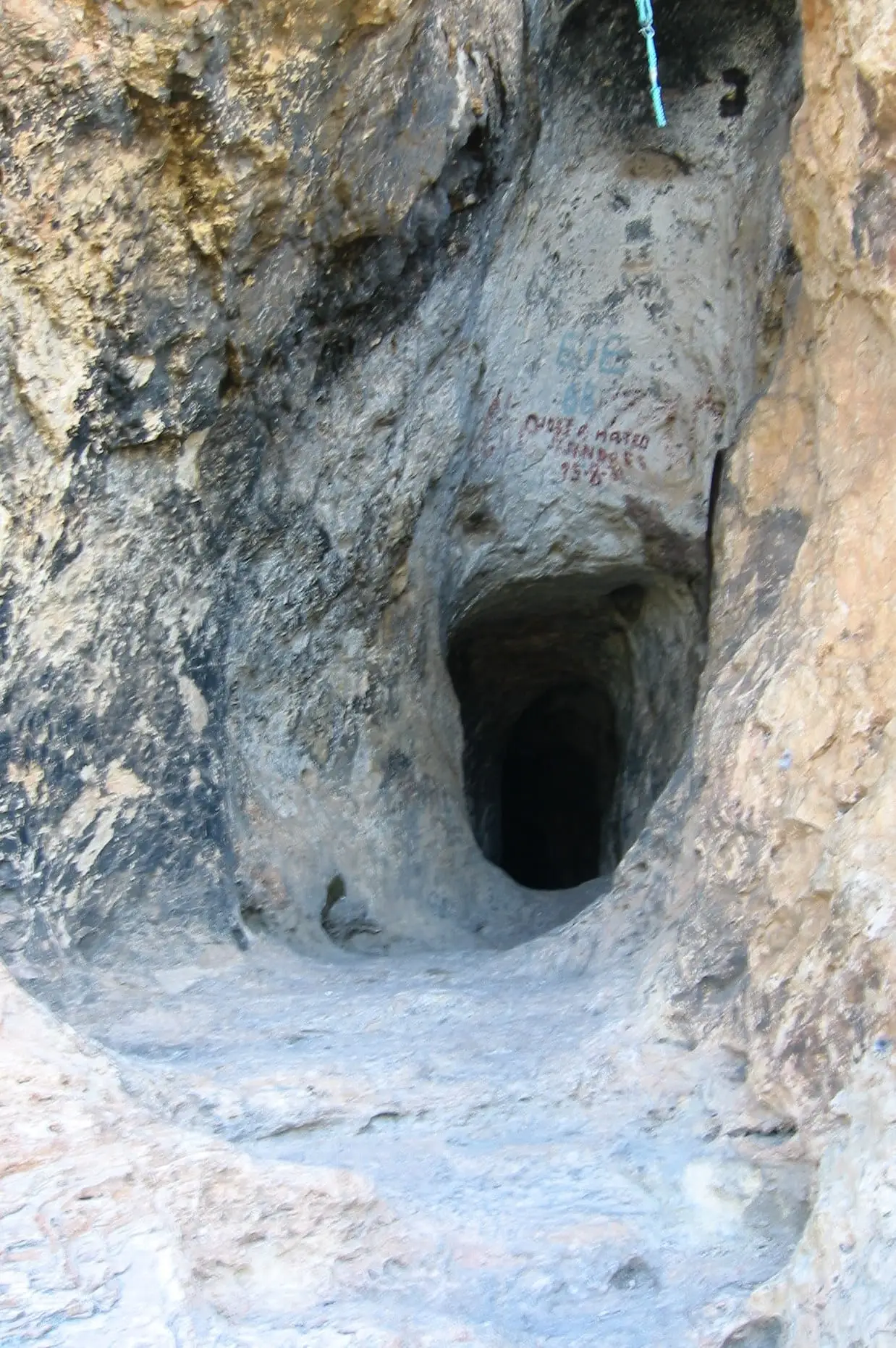
- A sanctuary in the cave. The Cueva Santa del Cabriel in Mira was an Iberian sanctuary and later a hermitage.
- The village under water. In 1975 Contreras reservoir covered the village of Fuencaliente.
Exploring the river
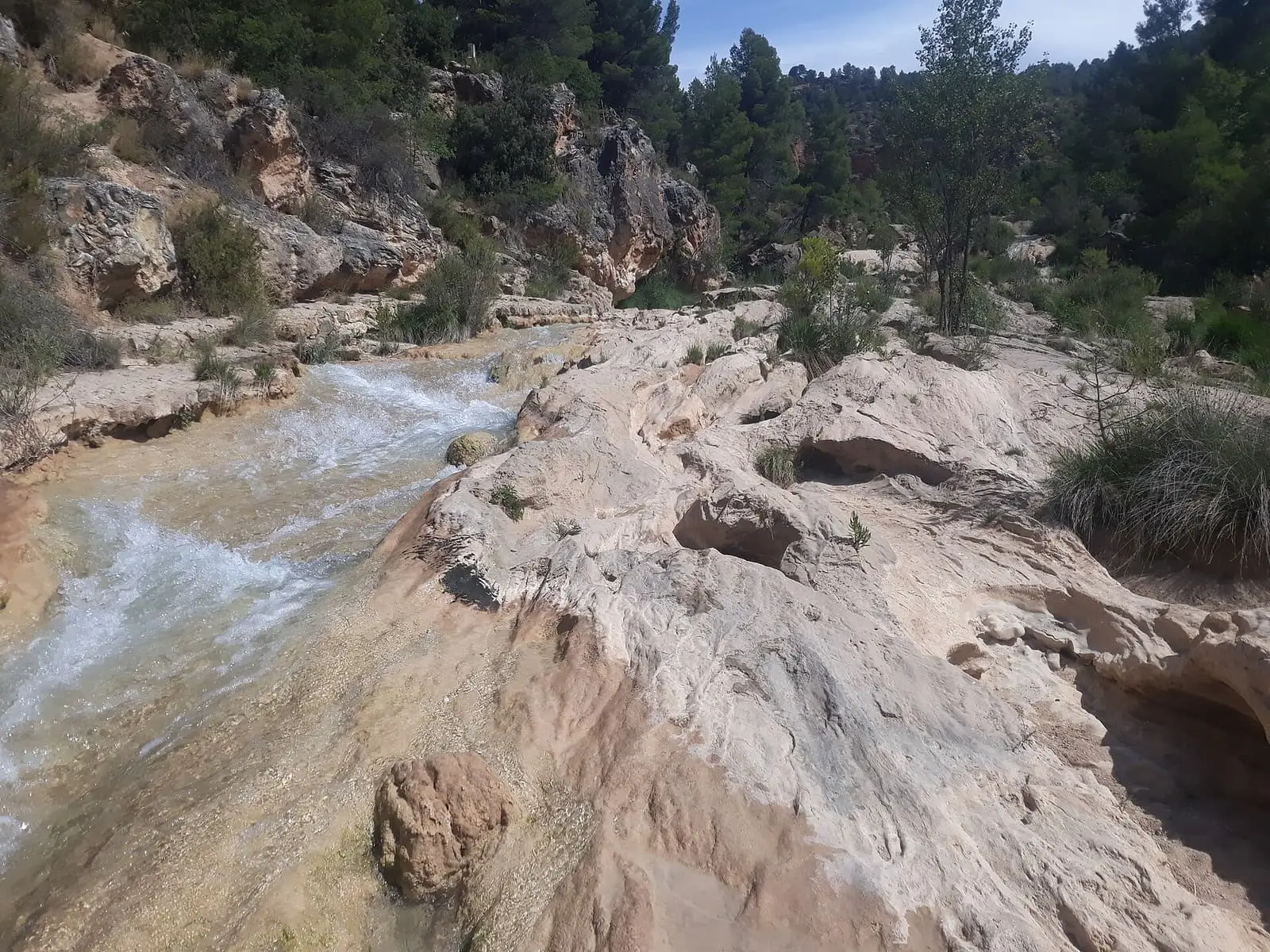
In Víllora the river has cut Las Chorreras into tufa; since the DANA, a cut-off low weather event, of 2024, access is only along the PR-CU 53 short-distance trail. The PR-CU 57 descends from La Pesquera along a Roman road to the reservoir, and the GR-66 long-distance trail, currently temporarily suspended, follows the valley.
The memory we can follow
8th – 1st centuries BC
Hillforts, oppida and sanctuaries of the Serranía
The Iron Age Serranía: hilltop settlements with walls and ditches, the boundary between Iberians and Celtiberians, burial mounds and cave sanctuaries.
Read the story →from 1500 to 1800
Buying themselves
The Serranía from the 16th to 18th centuries: villages buying their own courts, lords, wool, paper and iron, travellers to Peru and China and the 1752 Cadastre.
Read the story →2000 – 2026
The Serranía in the 21st century
The Serranía de Cuenca today: 75% fewer people than in 1950, the Natural Park and Biosphere Reserve, new excavations and memory set in stone.
Read the story →Villages from which to read this basin
They are ways into its valleys and its memory. The selection includes riverside villages and those nearby; it does not mean that the whole of each municipality drains into this river.
Traces of the river and its basin
The lands the water links
Frequently asked questions
Where does the Cabriel flow into?
The Júcar. The BOE describes it as a river system tributary to the Júcar, and its basin belongs to the Júcar river basin district.
What is the Valle del Cabriel Biosphere Reserve?
A reserve designated by UNESCO on 19 June 2019. According to the BOE it has 421,765.93 hectares, with core, buffer and transition zones, and 37 municipalities in the province of Cuenca; the Ministry gives 421,797.77 hectares, and both figures are retained.
Can the Chorreras del Cabriel be visited?
Only along the PR-CU 53 short-distance trail on the left bank, from the Víllora car park or from Enguídanos. Since the DANA of October 2024, and following an IGME study confirming rockfall risk, access down the western slope and to the pools has been closed.
Data from the territory model
- BOE-A-2020-287: Resolución de 17-12-2019 del Organismo Autónomo Parques Nacionales sobre las Reservas de la Biosfera declaradas en junio de 2019 (anexo: ficha del Valle del Cabriel) · source consulted
- · source consulted