Village on the edge of the Serranía · Cuenca
Enguídanos
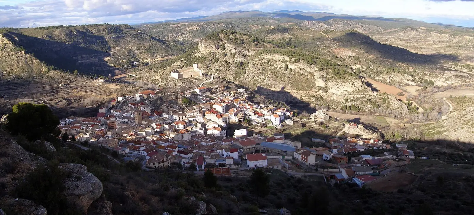
Enguídanos is a village in the south-east of the province of Cuenca, at the confluence of the Cabriel and Guadazaón, with a hilltop castle and the Celtiberian settlement of Cabeza Moya 5 km away. It had 2,322 inhabitants in 1940 and 303 in 2021. The only authorised access to Las Chorreras del Cabriel today is the PR-CU 53 trail.
On this page 10 sections
Where the Cabriel and Guadazaón meet
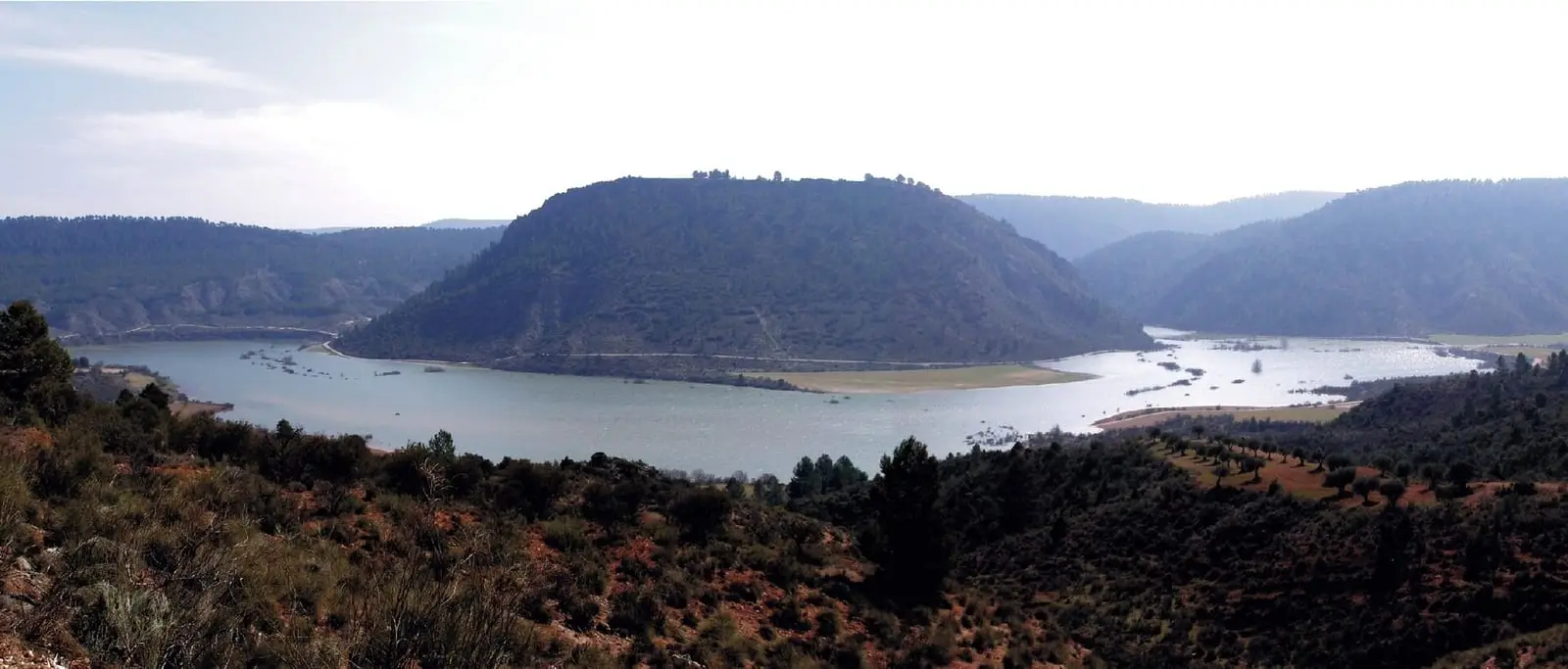
Enguídanos lies in the south-east of the province where the Cabriel receives the Guadazaón, within the Valle del Cabriel Biosphere Reserve. It was a frontier stronghold from the Middle Ages, and its hilltop castle shows work from the 13th to 16th centuries. It is among the atlas’s mildest villages: frost occurs on few days a year.
Enguídanos is the village of five rivers: the Cabriel, Guadazaón, Narboneta, Mira and San Martín meet within its municipality, with gorges such as the Hoz del Agua and Hoz del Mira. The church is Gothic, with a Mudéjar coffered ceiling and an ogee arch, and the village has Fuente de San Blas. Beside Puente de Hierro are unstudied remains thought to be a Roman bridge.
For San Blas, people remember sung mass with a sermon and the saint’s procession round the church with drums. Mass and procession continued in 2025, and the festival had added evening dances and food tastings.
In January, for San Antón, a bonfire is lit and mass with blessing of animals is held the next day. In 2022 the bonfire was announced for Saturday the 15th at eight in the evening and mass for Sunday.
In March 2025 Enguídanos opened the Trashumancias 2.5 training programme with a session on rural schooling with retired and practising teachers, a jota workshop for students and villagers and the performance Me lleva la corriente by Algazara.
Cabeza Moya
About five kilometres south-east lies Cerro Cabeza Moya, a Celtiberian settlement of the 5th to 3rd centuries BC. Discovered in 1979 after looting, it was excavated in 1980 and 1981: square and rectangular houses, a surrounding wall, local and Greek pottery and Roman coins. It was abandoned after a fire. The Museo de Cuenca holds objects from it, such as a handmade clay funnel and a small grey Iberian bottle of the 3rd century BC.
A station in the woods
Enguídanos station, on the Cuenca-Utiel line, is about fifteen kilometres from the village in the hills near the Víllora-Mira road; nobody on the radio has explained why it was placed there. It opened in November 1947 when the section linking Madrid, Cuenca and Valencia was completed, and its buildings are attributed to architect Secundino Zuazo: a two-storey passenger building, two warehouses with a loading platform, six railway workers’ homes in two blocks and toilets. In 2021 walls, stairs and chimneys still stood and interiors were wrecked. Nearby the Torres-Quevedo viaduct, about 680 metres long with twenty-three arches, crosses the Narboneta ravine. Cuenca Provincial Council (Diputación de Cuenca) wanted to turn the station into a sports tourism centre under the «Serranía en vía» (Serranía on track) project, stalled in 2021. No trains had run since that year following snowfall damage.
Routes
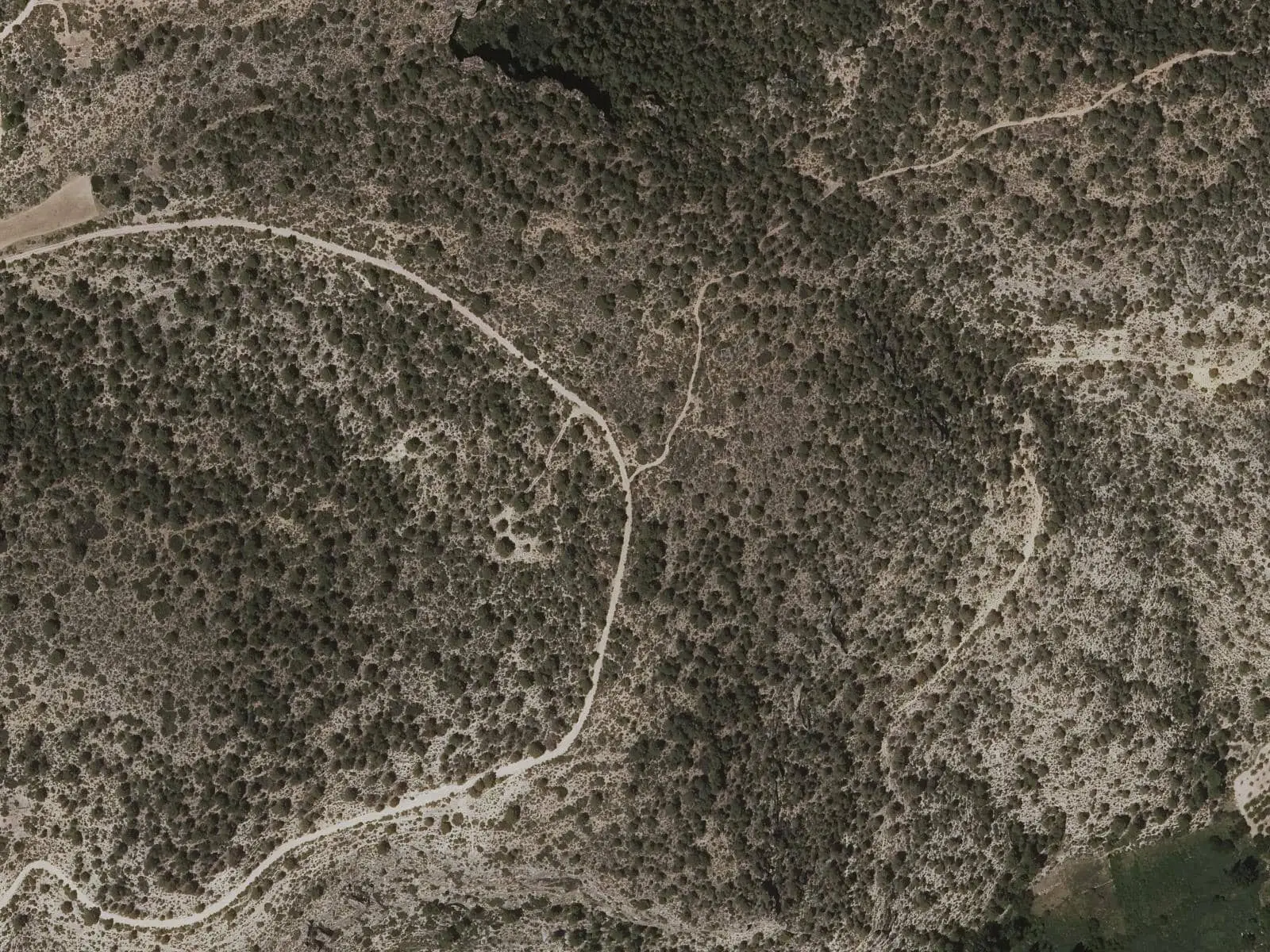
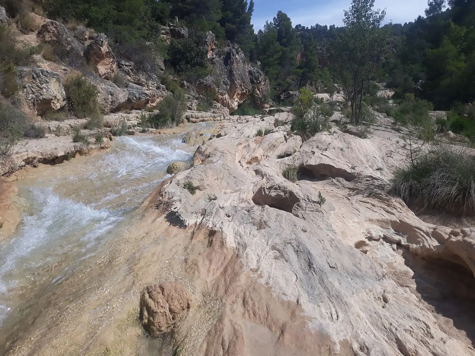
The PR-CU 53 short-distance trail is 15 km. It descends among vegetable gardens, crosses the Cabriel and follows it upstream on a track; then climbs to Las Hoyas, the highest point, shares a stretch with the GR 66 long-distance trail and descends through pine forest to the confined riverbed near Las Chorreras, where the two rivers meet. It returns along the left bank.
Plan your visit
Combine the centre and castle with the PR-CU 53. To see Cabeza Moya, first ask the town council about access.
Before you travel
Since the DANA, a cut-off low weather event, of October 2024, going down to the pools and entering from the right bank at Las Chorreras has been forbidden. The only access is the PR-CU 53 on the left bank. The trail passes near the ravine edge: take care.
Combine with
Frequently asked questions
What is Cabeza Moya?
A Celtiberian settlement of the 5th to 3rd centuries BC, about 5 km south-east of Enguídanos, discovered in 1979 and excavated from 1980. It has rectangular houses and a perimeter wall. It ended in a violent fire that may have occurred during conflicts with Rome.
Can Las Chorreras del Cabriel be visited?
Only along the PR-CU 53 trail on the left bank, from Enguídanos or the Víllora car park. After the DANA of October 2024 an IGME study confirmed rockfall risk: right-bank access is closed and the pools are forbidden.
How many people live in Enguídanos?
303 in the 2021 census. The peak was 2,322 in 1940, according to the INE.
Carry on from here
The rivers, zones, eras, places and official routes that the atlas links with Enguídanos.
Rivers and basins
Following the water from Enguídanos
Follow these watercourses to where they meet, to their villages and to the memories of their basin.
Lands and landscapes
From here, follow the memory of the land
These readings connect Enguídanos with the stories, the work and the villages around it.
Traces in the village and around it
Which eras you can read here
A single place can keep traces of several periods. These layers connect what you see with the atlas's stories.
Places in the municipality and around it
Official routes
Near Enguídanos

Las Hoyas
La Cierva
Fuente del Royo picnic area
Huerta del Marquesado
Prao de San Roque picnic area
Huerta del MarquesadoSee 5 more
Paisaje Ilustrado of Huerta del Marquesado
Huerta del Marquesado
Fuente de la Ardilla picnic area
Valdemeca
Beamud viewpoint
Beamud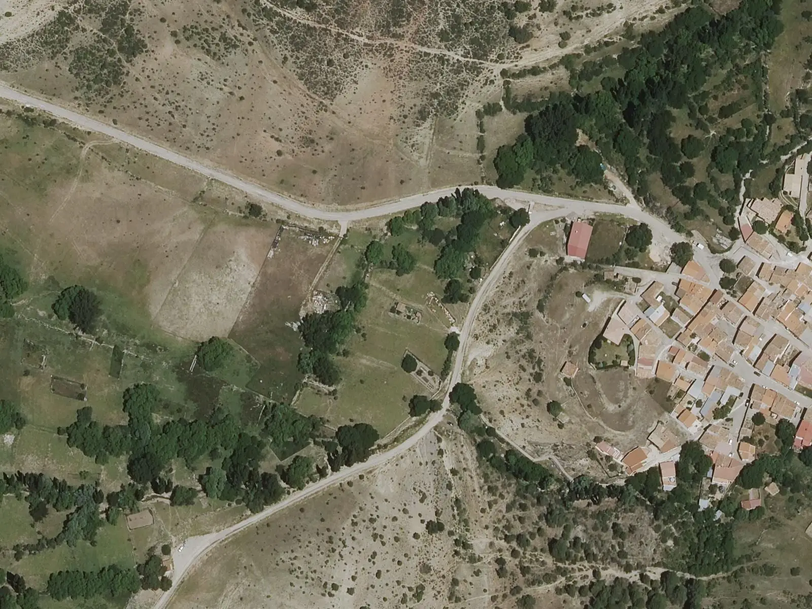
Fuente de los Pastores picnic area
BeamudPaisaje Ilustrado of Valdemeca
ValdemecaPopulation of Enguídanos, 1842–2021
Enguídanos reached 2,322 inhabitants in 1940. The 2021 census counted 303, 87 % fewer. It is the story told in the emptying.
Climate in Enguídanos month by month
Averages for the ten years from 2015 to 2024 from the ERA5 reanalysis (Copernicus), for a grid cell with a reference altitude of 740 m. They are model estimates, not measurements from a local station or thirty-year climate normals.
Source: Copernicus ERA5 via Open-Meteo, CC BY 4.0. Retrieved: 2026-10-09.
Location
● Reference point · ● Villages · ● Places · ━ Routes nearby
Location sketch. The map with paths and names loads as you scroll to it.
Approximate position: village centre.
Reference villages: Víllora · La Pesquera · Cardenete · Yémeda.
Open the full map and its historical layers →Where the data on this page come from
- Location
- IGN: Nomenclátor Geográfico Básico de España, capital de municipio (CC BY 4.0) source consulted, 9 October 2026
«Source consulted»: the primary source has been read. «Reference located»: the source has been identified but not yet read. «Open question»: the figure needs confirmation.
More about Enguídanos, told from the village: Enguídanos Town Council website.