Natural Monument
Chorreras del Cabriel Natural Monument
The Chorreras del Cabriel Natural Monument protects 264 hectares in the municipalities of Víllora and Enguídanos, where the Cabriel has cut a canyon into a tufa formation that has been building for about 6,700 years and continues to grow. It was designated by Decree 52/2019. Since the DANA of October 2024 and a rockfall risk study, access is only along the PR-CU 53 trail and going down to the pools is forbidden.
- Designation
- Natural Monument
- Legal basis
- Decreto 52/2019, de 18 de junio
- Area
- 264.41 ha
- Municipalities
- 2
- Chorreras del Cabriel
- Natural Monument
- Tufa
- Stromatolites
- Víllora
- Enguídanos
- PR-CU 53
A canyon cut into tufa
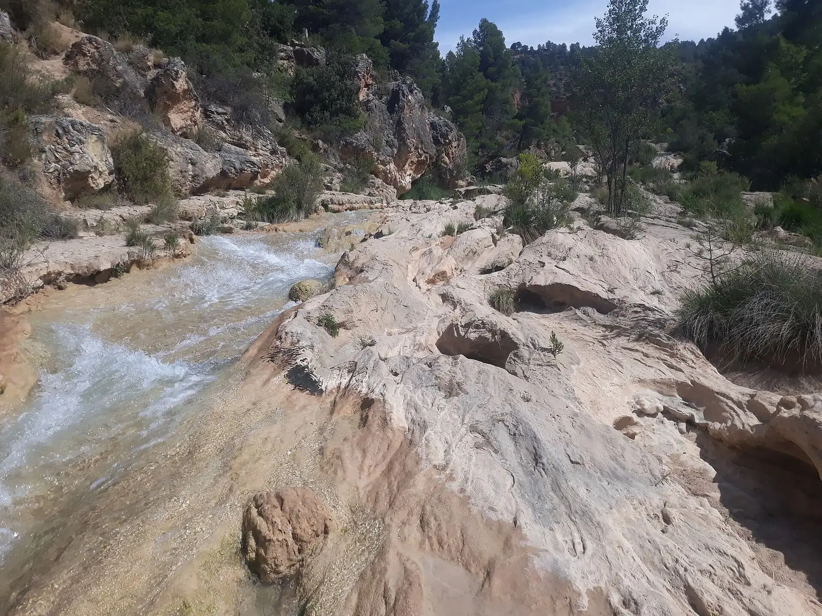
Las Chorreras lie in the bed of the Cabriel, along a 2.5 km stretch between the Víllora dam and the confluence with the Guadazaón, in the municipalities of Víllora and Enguídanos. In the village they call it El Orón. Along a kilometre and a half of river is an enormous tufa formation deposited by water over about 6,700 years, which is still forming. The river has cut it into a canyon, reached nearby dolines and turned them into large pools linked by drops, small waterfalls and potholes. It is one of Spain’s best examples of a Quaternary tufa ramp and appears in the inventory of sites of geological interest under code IB142.
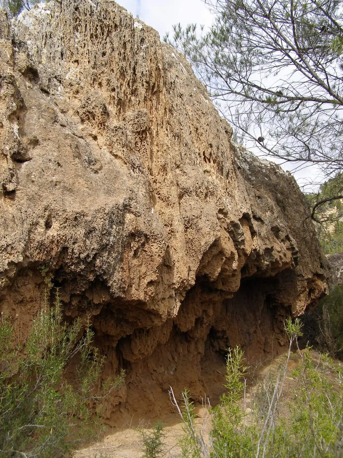
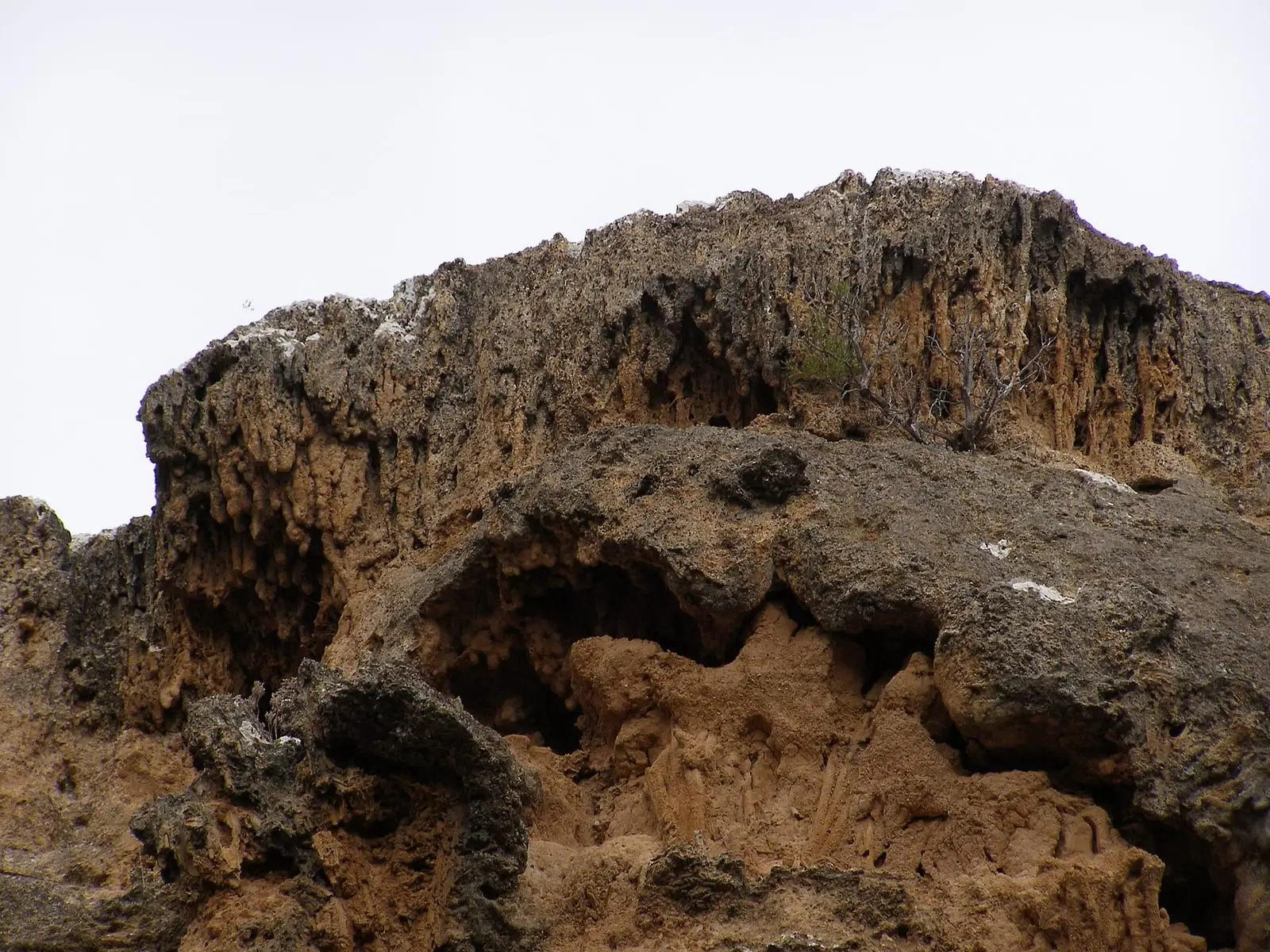
There are many kinds of tufa: some in layers, made by stromatolites; others with impressions of leaves, cones, stems and mosses; some shaped like waterfalls, as if water had turned to stone. And the cyanobacteria making the stromatolites continue working on the riverbed ramps.
Stromatolites grow two layers a year: a denser one in summer and autumn and a more porous one in winter and spring. In 2020 an average of 8 m³ of water per second reached the stretch, but less than 1 passed through Las Chorreras: the rest went to the power station and returned to the river through the Guadazaón. The same article gives 6,700 years for the tufa formation and also mentions deposits from 120,000 years ago, without explaining how the two ages fit together.
What it protects
It was designated a Natural Monument by Decree 52/2019 of 18 June, covering 264.41 hectares. Maidenhair fern grows on the tufa; willows on the riverbanks and, further down, white-poplar woodland. The river holds freshwater blenny and perhaps Júcar nase, a fish found only in this basin, and its banks otters, dippers and kingfishers. Peregrine falcons breed on the cliffs every year. It lies within the Valle del Cabriel Biosphere Reserve.
Below remain the houses of the old settlement of the Lucas de Urquijo hydroelectric station, inaugurated in 1914, which uses a 90-metre drop in the Cabriel over less than a kilometre.
Its condition now
The DANA of October 2024, a cut-off low weather event, damaged the area, and a study confirmed rockfall risk. Since then going down to the pools has been forbidden and the western slope is closed. Access is only along the PR-CU 53 short-distance trail on the left bank, from the Víllora car park or from Enguídanos. On 14 May 2026 the PR-CU 120 also opened, a 14 km circular trail from Víllora.
Plan your visit
Before you travel
Book a space in the Víllora car park: visitor numbers are high, and this reduces impact and risks. Check the regional government’s notices before going, because they change. Tufa is living, fragile rock: do not leave the trail, go down to the pools or take anything away.
Combine with
Nearby are the gorge of the River San Martín and the Cuchillos de la Virgen de Castil de Olivas.


Frequently asked questions
How do you get there?
Along the PR-CU 53 short-distance trail on the river's left bank, from the Víllora car park or from Enguídanos. Access down the western slope and to the pools is closed because of rockfall risk.
Do you need to book?
Víllora Town Council recommends booking a parking space because of visitor numbers. Check the regional government's notices before going, as they may change.
What is special about the tufa at Las Chorreras?
Its size and the fact that it is still living: along 1.5 km of river is a tufa formation deposited over the last 6,700 years, and stromatolites, layers of rock made by cyanobacteria, still grow on the riverbed ramps.
Carry on from here
Rivers and basins
Following the water from Chorreras del Cabriel Natural Monument
Follow these watercourses to where they meet, to their villages and to the memories of their basin.
Lands and landscapes
From here, follow the memory of the land
These readings connect Chorreras del Cabriel Natural Monument with the stories, the work and the villages around it.
Which municipalities it covers
Where the data on this page come from
- Name
- Junta de Castilla-La Mancha, Red de Áreas Protegidas: Monumento Natural Chorreras del Cabriel (ficha) source consulted, 14 October 2026
- Decreto 52/2019, de 18 de junio, por el que se declara el Monumento Natural Chorreras del Cabriel en los términos municipales de Enguídanos y Víllora (DOCM) source consulted, 14 October 2026
- Designation and legal basis
- Junta de Castilla-La Mancha, Red de Áreas Protegidas: Monumento Natural Chorreras del Cabriel (ficha) source consulted, 14 October 2026
- Decreto 52/2019, de 18 de junio, por el que se declara el Monumento Natural Chorreras del Cabriel en los términos municipales de Enguídanos y Víllora (DOCM) source consulted, 14 October 2026
«Source consulted»: the primary source has been read. «Reference located»: the source has been identified but not yet read. «Open question»: the figure needs confirmation.