Heritage · Mariana
Church of San Pedro, Mariana
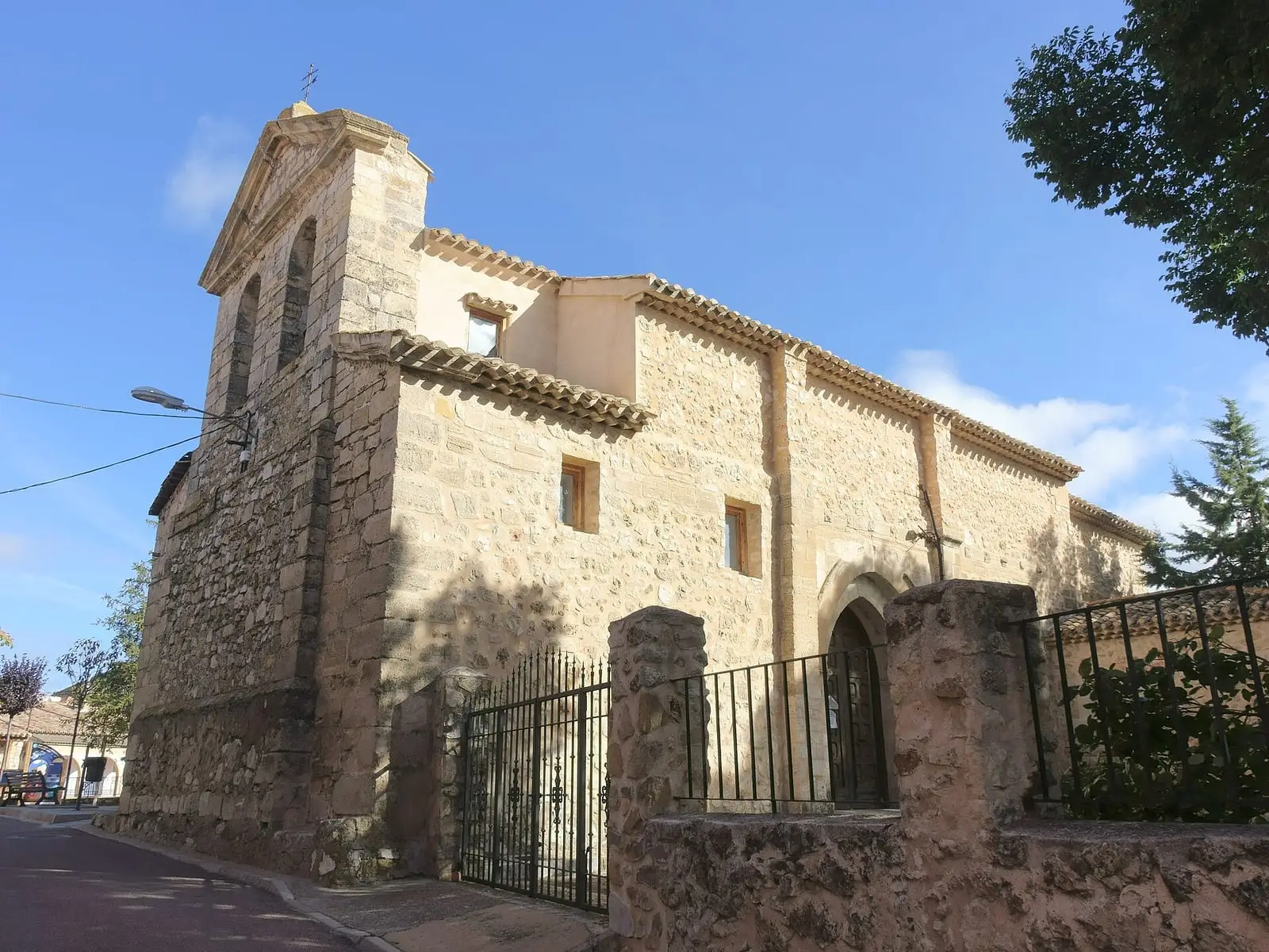
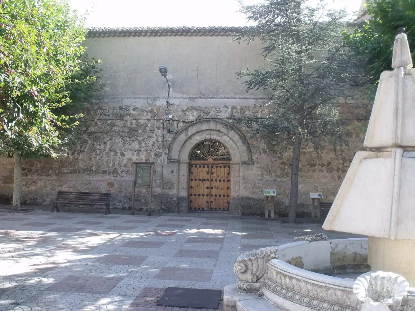
San Pedro church in Mariana dates from the 13th century, one of the churches built during Christian resettlement in the late 12th century. Its Romanesque structure survives almost intact: a single nave with a semicircular apse, a bell gable at the west end and two opposing doorways, one to the south and the other to the north.
- Municipality
- Mariana
- Romanesque
- Mariana
- Resettlement
- 13th century
When Alfonso VIII took Cuenca in 1177, resettlement filled the surrounding villages with small, solid churches. The church in Mariana, dedicated to San Pedro, dates from the 13th century and is among those that best preserve their original form: a single nave with a semicircular apse, a bell gable at the west end and two doorways facing one another in the south and north walls.
Plan your visit
To see inside, ask in the village.

Carry on from here
Lands and landscapes
From here, follow the memory of the land
These readings connect Church of San Pedro, Mariana with the stories, the work and the villages around it.
Where it is
Where the data on this page come from
- Name
- Diputación Provincial de Cuenca source consulted, 4 October 2026
- Municipality (INE code)
- Diputación Provincial de Cuenca source consulted, 4 October 2026
«Source consulted»: the primary source has been read. «Reference located»: the source has been identified but not yet read. «Open question»: the figure needs confirmation.