Route · Las Majadas
PR-CU 28: Ruta de las Fuentecillas y Los Callejones
PR-CU 28, Ruta de las Fuentecillas y Los Callejones, is a circular short-distance trail of 12.5 km and about 3.5 hours, of moderate difficulty, starting in Las Majadas. It follows the Uña–Las Fuentecillas path, climbs Picón de Royo Frío, passes the Picón de Tío Cogote viewpoint and reaches Los Callejones.
- Code
- PR-CU 28
- Distance
- 12.5 km
- Time
- 3.5 h
- Layout
- Circular
- Difficulty
- Moderate
Walking time without travel or stops. Difficulty as graded by the official source. «Easy» does not mean accessible.
- PR-CU 28
- Las Majadas
- Los Callejones
Where to start
In Las Majadas, along Camino de Valdeasnos.
The route
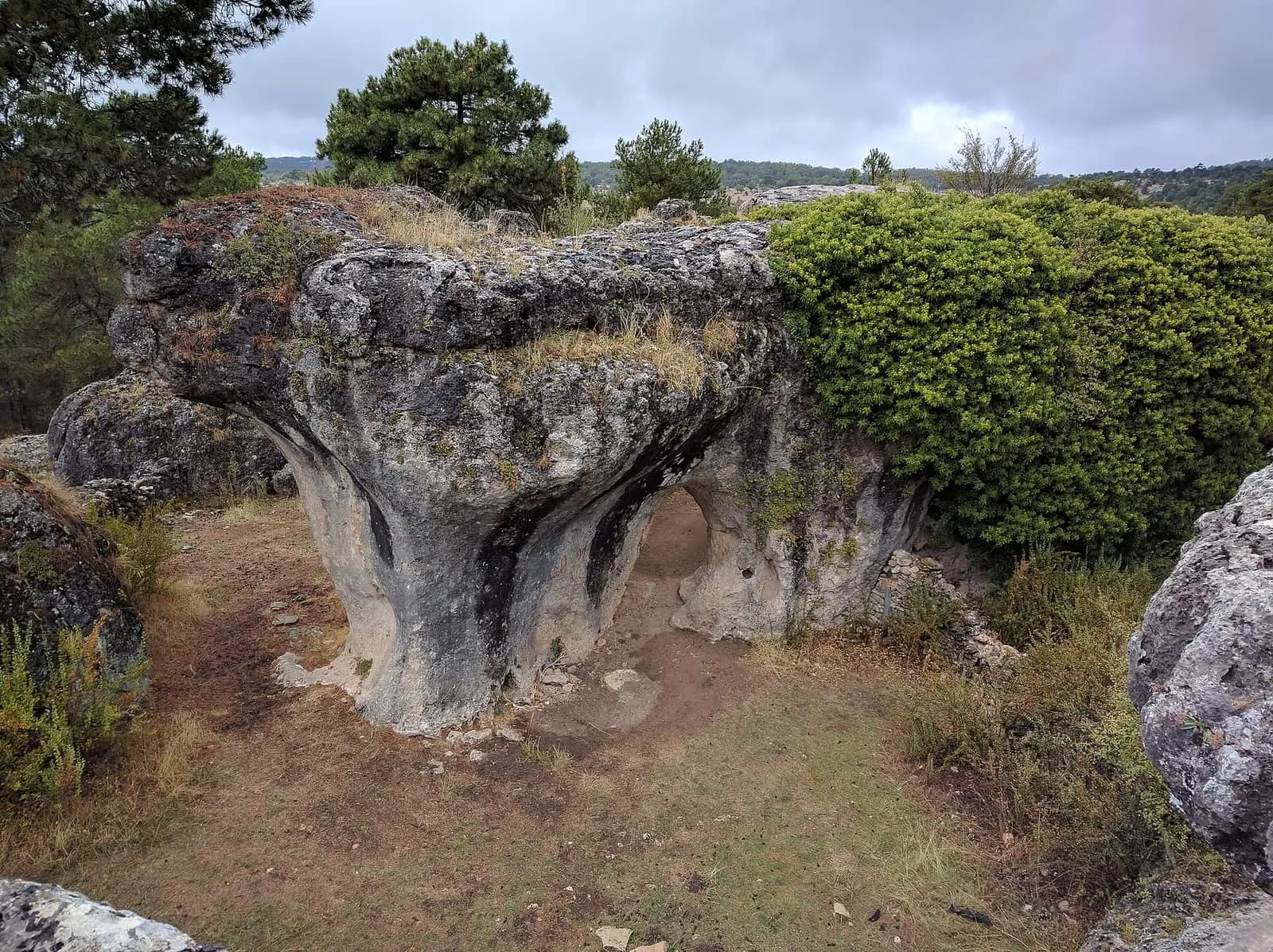
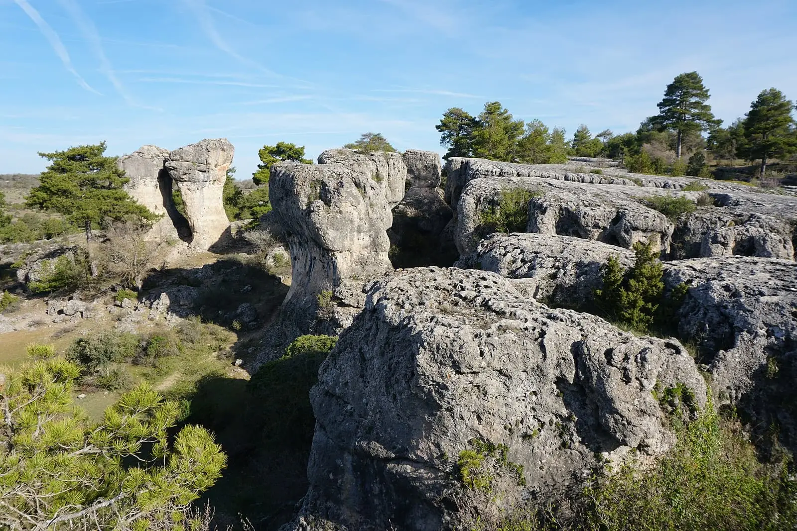
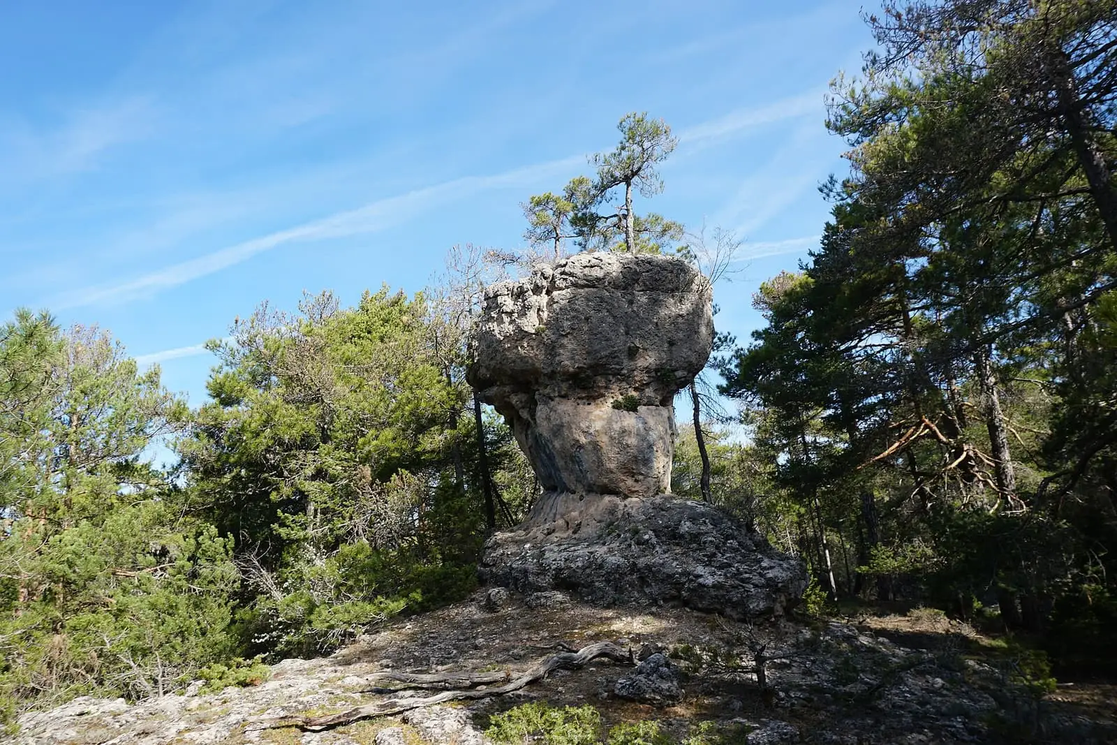
It crosses El Collado and Dehesa Boyal and skirts the golf course. At Fuente de la Puentecilla it takes the old Uña–Las Fuentecillas path, becoming a footpath across the slope of Solana de Uña to Huertos de Royo Frío at 1,291 m. It climbs the shaded side of Picón de Royo Frío on a steep path. Above is the Picón de Tío Cogote viewpoint; it then skirts the muela, a flat-topped limestone hill, along Camino de los Charcos to Los Callejones, the village’s stone maze, and descends via La Moratilla and Alto de la Peña.
Between the foot and top of the cliffs, the regional government describes Portuguese-oak woods, pine forests and plants of wetter climates, typical of northern Europe.
Difficulty and time
Circular, 12.5 km, about 3.5 hours. Moderate difficulty.
Before you set out
The climb along the Picón’s shaded side is slippery with ice or very damp conditions.
Official route · Federación de Deportes de Montaña de Castilla-La Mancha y Diputación de Cuenca (Senderos de Cuenca) (PR-CU 28). Description, track and notices on the official route page (in Spanish). Before you set out, check there for changes or closures.


Frequently asked questions
What are Los Callejones?
A stone maze of karren, the landscape for which Las Majadas is known.
Is there a section requiring care?
The climb along the shaded side of Picón de Royo Frío, which can be slippery with ice or very damp conditions.
Carry on from here
Lands and landscapes
From here, follow the memory of the land
These readings connect Ruta de las Fuentecillas y Los Callejones with the stories, the work and the villages around it.
Where it is
● Villages · ● Places · ━ Simplified official route
Location sketch. The map with paths and names loads as you scroll to it.
Reference villages: Las Majadas · Portilla · Villalba de la Sierra · Uña.
Open the full map and its historical layers →Where the data on this page come from
- Name
- FDMCM · Diputación Provincial de Cuenca source consulted, 4 October 2026
- Junta de Comunidades de Castilla-La Mancha — Parque Natural source consulted, 4 October 2026
- Federación de Deportes de Montaña de Castilla-La Mancha source consulted, 5 October 2026
- Municipality (INE code)
- FDMCM · Diputación Provincial de Cuenca source consulted, 4 October 2026
- Junta de Comunidades de Castilla-La Mancha — Parque Natural source consulted, 4 October 2026
- Route data
- FDMCM · Diputación Provincial de Cuenca source consulted, 4 October 2026
- Junta de Comunidades de Castilla-La Mancha — Parque Natural source consulted, 4 October 2026
- Federación de Deportes de Montaña de Castilla-La Mancha source consulted, 5 October 2026
«Source consulted»: the primary source has been read. «Reference located»: the source has been identified but not yet read. «Open question»: the figure needs confirmation.