Route · Fuentes
Itinerario interpretativo del Complejo Lagunar del Río Moscas
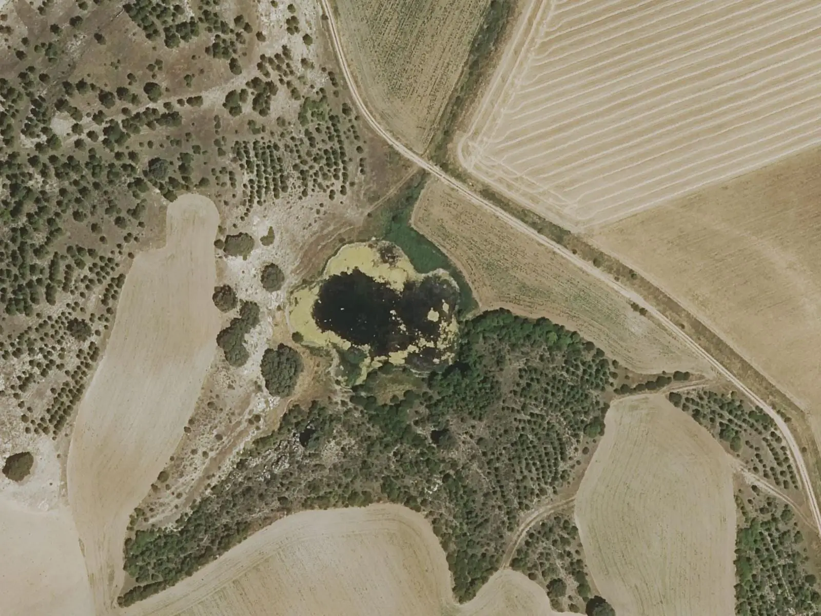
The interpretive trail through the Moscas river lake complex starts in Fuentes and follows waymarked paths for about 6.5 km, of low difficulty, to Laguna Negra and Laguna de los Cedazos, the largest in the group. It runs within a micro-reserve: leave nothing behind, do not disturb animals and keep dogs on leads.
- Distance
- 6.5 km
- Difficulty
- Easy
Walking time without travel or stops. Difficulty as graded by the official source. «Easy» does not mean accessible.
- Lakes
- Fuentes
- Moscas river
- Micro-reserve
- Easy walk
Where to start
In Fuentes, where the Moscas river rises.
The route
It follows several waymarked paths through the lake complex: eleven dolines opened in gypsum by groundwater, nine holding water all year. It reaches Laguna Negra and Laguna de los Cedazos, the largest, where the otter hunts.
Difficulty and time
About 6.5 km. Easy.
Before you set out
This is a micro-reserve: do not drop litter, light fires or sleep outdoors, and keep dogs on leads.
Official route · Ayuntamiento de Fuentes. Description, track and notices on the official route page (in Spanish). Before you set out, check there for changes or closures.
Carry on from here
Lands and landscapes
From here, follow the memory of the land
These readings connect Itinerario interpretativo del Complejo Lagunar del Río Moscas with the stories, the work and the villages around it.
Where it is
Where the data on this page come from
- Name
- Diputación Provincial de Cuenca source consulted, 5 October 2026
- Municipality (INE code)
- Diputación Provincial de Cuenca source consulted, 5 October 2026
- Route data
- Diputación Provincial de Cuenca source consulted, 5 October 2026
«Source consulted»: the primary source has been read. «Reference located»: the source has been identified but not yet read. «Open question»: the figure needs confirmation.