Water · Fuentes
Laguna de los Cedazos
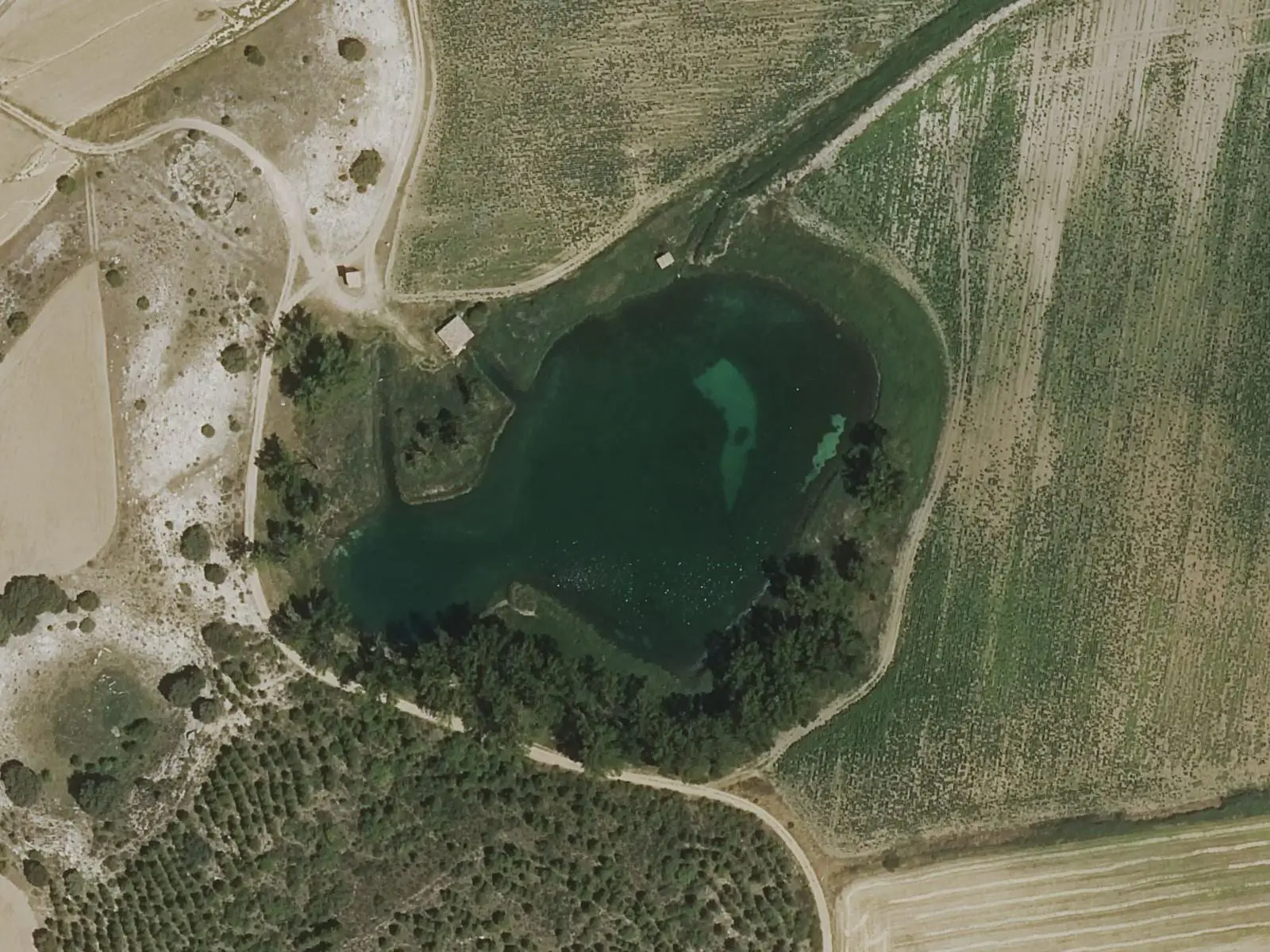
Laguna de los Cedazos is the largest lake in the River Moscas lake complex in Fuentes: a micro-reserve of around 125 hectares, designated in 2010, with eleven dolines opened by water in gypsum terrain, nine holding permanent water. A waymarked 6.5 km interpretive trail of very low difficulty reaches it, passing all the lakes.
- Municipality
- Fuentes
- Lake complex
- River Moscas
- Micro-reserve
- Dolines
- Gypsum
Water that dissolves the ground
The lakes of Fuentes are unusual in the peninsula because of their geology and the variety of life they support. Groundwater has dissolved the gypsum and opened eleven dolines, nine holding water all year. The latest opened in 2009, at Los Ojos de la Corva. All connect underground and have different depths.
The largest
Laguna de los Cedazos is the largest in the group. Laguna Negra is on the same route; Mohorte and Las Zomas lie to the north, beside the village, and Los Ojos de la Corva, five lakes, to the south. Water drains through the River Moscas, which joins the Júcar near Cuenca.
Plan your visit
The interpretive trail starts in Fuentes: around 6.5 km, waymarked and very easy, passing all the lakes as far as La Negra and Los Cedazos.
Before you travel
Do not enter the water. Littering, disturbing animals, damaging plants, lighting fires and sleeping outdoors are prohibited. Keep dogs on leads.
Combine with
In the village, the Lo Hueco centre and the replica of the titanosaur Epi.
Frequently asked questions
What is the River Moscas lake complex?
A group of eleven dolines, nine with permanent water, formed as groundwater dissolved the gypsum terrain. It covers around 125 ha and has been a micro-reserve since 2010. All the lakes connect underground and have different depths.
What rules apply?
Littering, disturbing animals, damaging plants or trees, lighting fires and sleeping outdoors are prohibited. Dogs may be taken on leads.
Carry on from here
Lands and landscapes
From here, follow the memory of the land
These readings connect Laguna de los Cedazos with the stories, the work and the villages around it.
Where it is
Where the data on this page come from
- Name
- Diputación Provincial de Cuenca source consulted, 5 October 2026
- Municipality (INE code)
- Diputación Provincial de Cuenca source consulted, 5 October 2026
«Source consulted»: the primary source has been read. «Reference located»: the source has been identified but not yet read. «Open question»: the figure needs confirmation.