Village · Cuenca
Villalba de la Sierra
Villalba de la Sierra is an entrance to the Serranía de Cuenca Natural Park, beside the Júcar, with around 500 winter residents. It contains the Salto de Villalba, the power station supplying Madrid from 1926, and viewpoints over the gorge such as Ventano del Diablo. It reached 1,140 inhabitants in 1940.
On this page 12 sections
The entrance to the Serranía along the Júcar
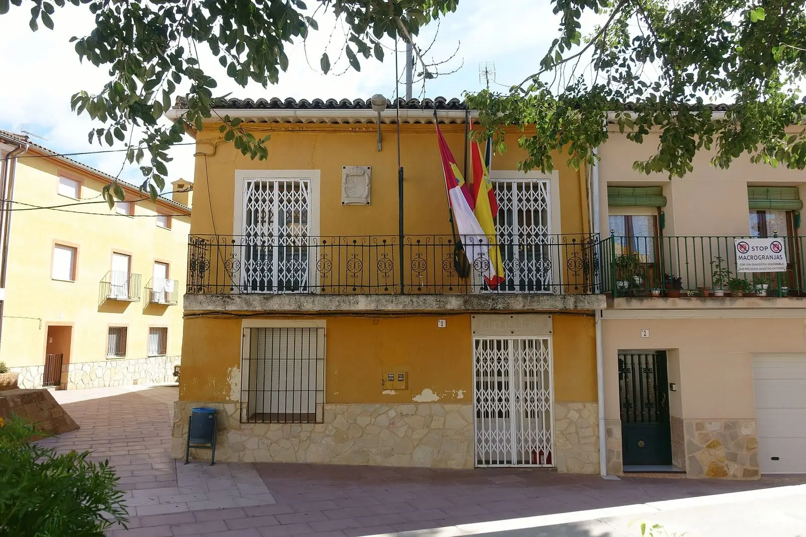
Villalba de la Sierra stands beside the Júcar and is one of the entrances to the Natural Park. Its centre, of low houses, has a church retaining a Romanesque bell gable and apse; its dedication is unclear: some sources give the Natividad, others San Bartolomé.
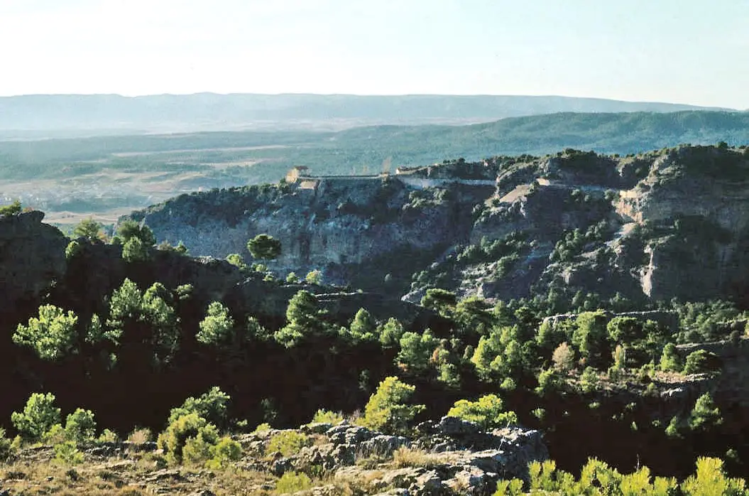
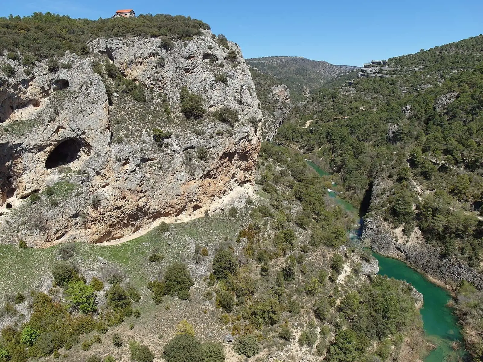
Downstream, the Júcar has cut a deep gorge. The Ventano del Diablo overlooks it, and there are further viewpoints on the ridges and one beside the village in Calle Cueva del Romeral.
What trades and memory tell
In 1926 the station known locally as the Salto entered service. Júcar water arrived by canal from La Toba reservoir, through Laguna de Uña, and the electricity went to Madrid. A settlement with a church, school and company shop was built below. Much of the village worked there for decades, reflected in the census: Villalba grew from 726 inhabitants in 1920 to 1,140 in 1940. Those who lived in the settlement tell the story in The Salto de Villalba.
Wool, fulling mill and waterwheel
Villalba separated from Cuenca in 1510 and lived from livestock: in the Ensenada Cadastre, in the mid-18th century, this was its main wealth. About two hundred paces from the village, beside the Júcar, a wool-washing works had operated since the 17th century, with a shearing house, enclosures, a drying meadow and a cauldron. A channel of about forty metres took water to a tank, the cacerón, then to the cauldron and tinos, stone tanks where the capitán de tinos decided water and temperature for each batch of wool. More than four thousand arrobas passed through the vats annually. In 1734 its owner placed it in her entailed estate along with twelve thousand sheep; it later passed to the Viscounts of Huerta. Today a hotel stands on the washery and old mill site.
Beside the flour mill was also a fulling mill for thickening cloth, mentioned by Madoz in the mid-19th century. After the war a waterwheel was installed over the mill channel to irrigate the valley fields; the first was wooden, and the present galvanised-iron one, four metres in diameter, dates from 1996. Each morning the goatherd took the village goats from the council pen, and at dusk they returned home by themselves; the village’s last sheep flock, 220 head, was sold in 1998.
La Vereda
The Cañada Real de Rodrigo Ardaz (royal drove road), locally called La Vereda, passes through Villalba. It begins in Guadalajara, crosses the Tagus by the bridge bearing its name at Peralejos de las Truchas, and descends through Cueva del Hierro, Masegosa, Vega del Codorno, Las Majadas and Portilla to Villalba, then through Sotos, Mariana and Chillarón, where many flocks boarded trains when seasonal livestock journeys began using wagons; previously they continued on foot to Sierra Morena. Flocks from the high mountains reached Villalba on the third or fourth day. They rested at midday beside the Fuente del Cubillo drinking trough, next to a building called «los albergues» (the shelters), now the Refugio de la Vereda, restored through a European project. Shepherds from Masegosa, Lagunaseca or Vega del Codorno went south in November and returned in May; at night they used the Cabrillas (the Pleiades) to know when the watch changed.
The drove road is ninety Castilian varas wide, converted by one source to about 75 metres and another to 72.22; boundary stones remain at its sides, and in pine woods it appears as a cleared strip easily mistaken for a firebreak. In 2022, according to guide Fernando Carreras, Cuenca’s migrating flocks still passed along it at least twice a year. Rockrose and rosemary grow at its edges, which he attributes to seeds brought in sheep’s wool from warmer lands. Nearby is a small pond used for watering livestock. The Cañada Real de la Cerraja also crosses the municipality’s woodland, and at Tres Mojones the boundaries of Villalba, Mariana and Zarzuela meet.
Villacampa in Villalba
In April 1812, during the Peninsular War, Cuenca’s French garrison caught up at Villalba with General Villacampa, covering the movement of five hundred French prisoners towards Alicante. Villacampa withdrew in good order, and the French returned to Cuenca without freeing them: the prisoners were travelling by another road.
On 9 May 2025 the Casa de la Cultura hosted the first ItineraSTEAM schools fair, directed by Raquel Fernández Cézar: around three hundred mountain schoolchildren, including those from Carboneras secondary school, presented work on the science of rural trades and techniques.
In 2021 Villalba’s shepherds’ shelter had a roof in poor condition and broken beams. The LIFE Cañadas project planned to remove the tiles by hand for reuse, replace the structure and install bunks.
Around Villalba de la Sierra
- Salto de Villalba, the 1926 power station and its settlement.
- Villalba viewpoints: seven vantage points on the ridge above the Júcar, from Peña del Águila to the Salto.
- Piedra Yunque, at 1,369 m, on PR-CU 33 (short-distance trail).
Routes
The PR-CU 33, Ruta de la Piedra Yunque, leaves along Camino de las Aguas, follows the Santa María ravine upstream to Fuente de la Losilla and climbs through pine woods to Piedra Yunque at 1,369 m. It is 17 km long with 720 m of elevation gain.
Plan your visit
The centre and viewpoints fit into a morning; PR-CU 33 needs another.
Before you travel
The viewpoints overlook cliffs: keep away from the edge. The Salto settlement belongs to the electricity company; ask the town hall whether visits are possible. The Júcar floods: do not go down into the riverbed.
Combine with
Zarzuela is 4.2 km away in a straight line and Portilla 6.1 km. To understand the canal, continue to Uña lake.
Frequently asked questions
What is the Salto de Villalba?
The hydroelectric station entering service in 1926 with Júcar water brought by canal from La Toba reservoir and Laguna de Uña. It generated electricity for Madrid. A workers' settlement was built at its foot. Its history is in the Salto story.
What is the Ventano del Diablo?
A viewpoint over the Júcar gorge, a chasm of rock and water which, according to Castilla-La Mancha Tourism, opens beneath the visitor's feet.
Which approved trail is there?
PR-CU 33, Ruta de la Piedra Yunque, 17 km, 720 m of accumulated elevation gain and about 5 hours. It passes Piedra Yunque at 1,369 m and the relay-station aerials.
Carry on from here
The rivers, zones, eras, places and official routes that the atlas links with Villalba de la Sierra.
Rivers and basins
Following the water from Villalba de la Sierra
Follow these watercourses to where they meet, to their villages and to the memories of their basin.
Lands and landscapes
From here, follow the memory of the land
These readings connect Villalba de la Sierra with the stories, the work and the villages around it.
Traces in the village and around it
Which eras you can read here
A single place can keep traces of several periods. These layers connect what you see with the atlas's stories.
Places in the municipality and around it
Official routes
Near Villalba de la Sierra
Ciudad Encantada de Cuenca
Cuenca
Tío Cogote viewpoint
Las Majadas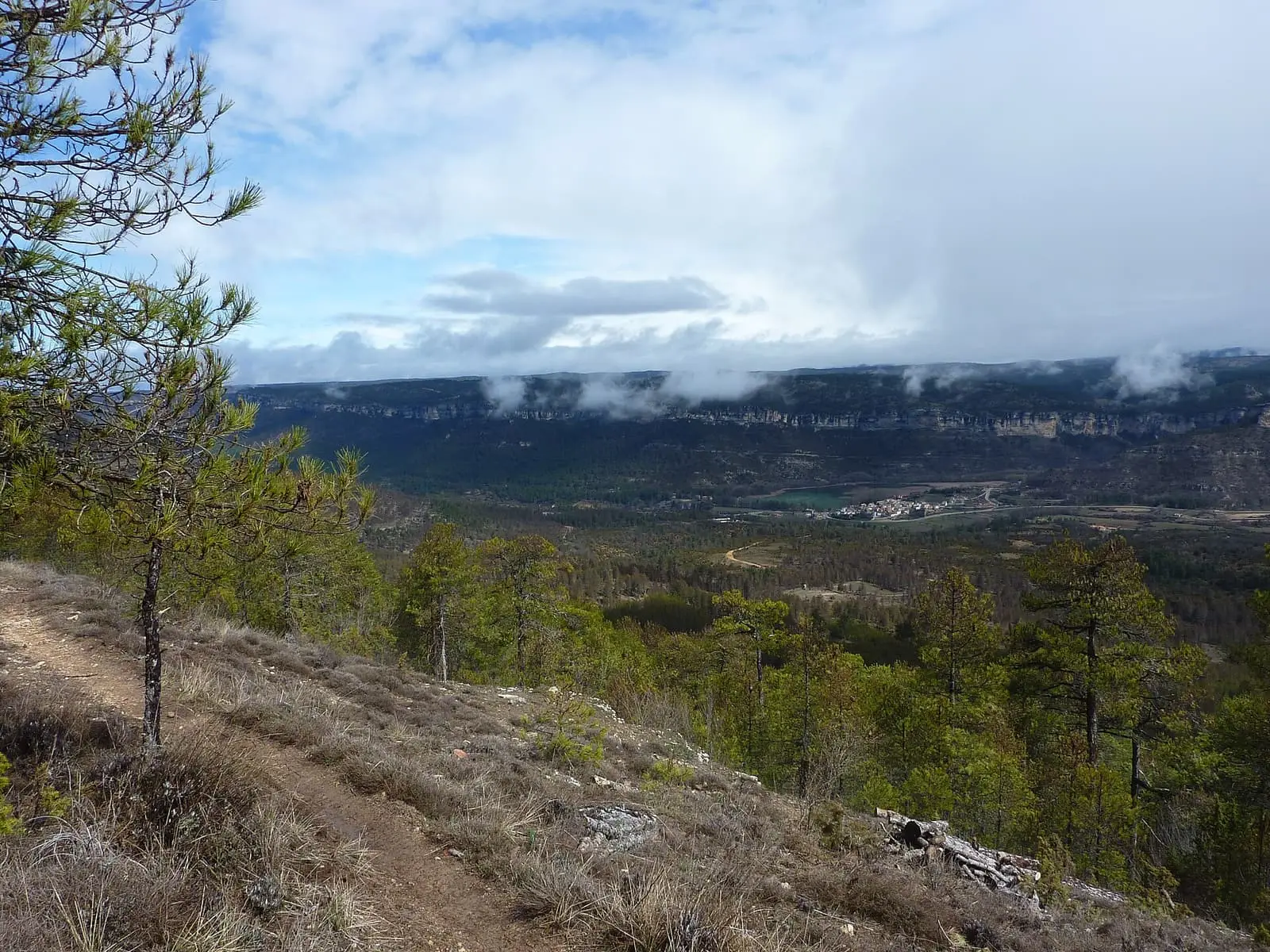
Uña viewpoint
See 5 more
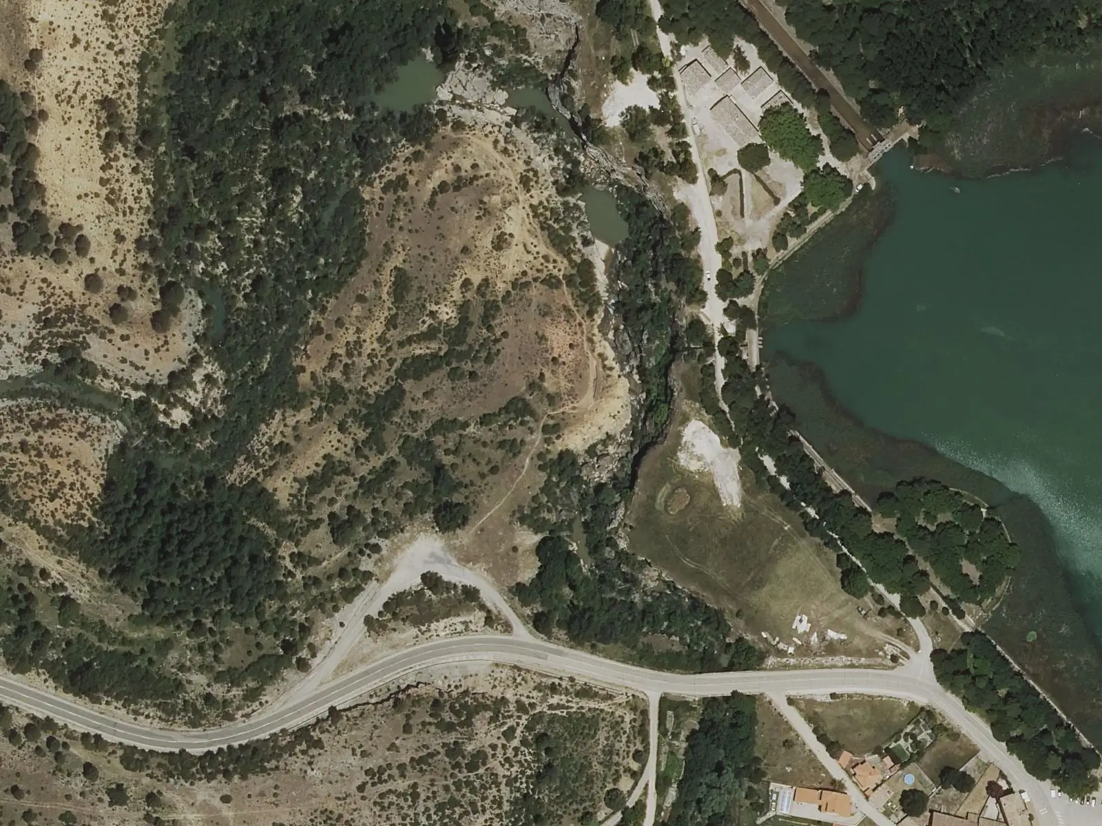
Travertino viewpoint, Uña
Uña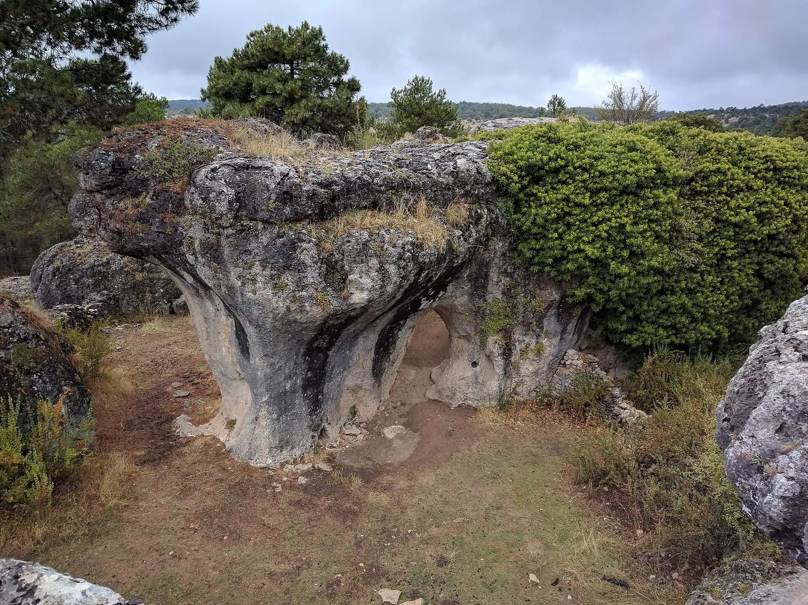
Callejones de Las Majadas
Las Majadas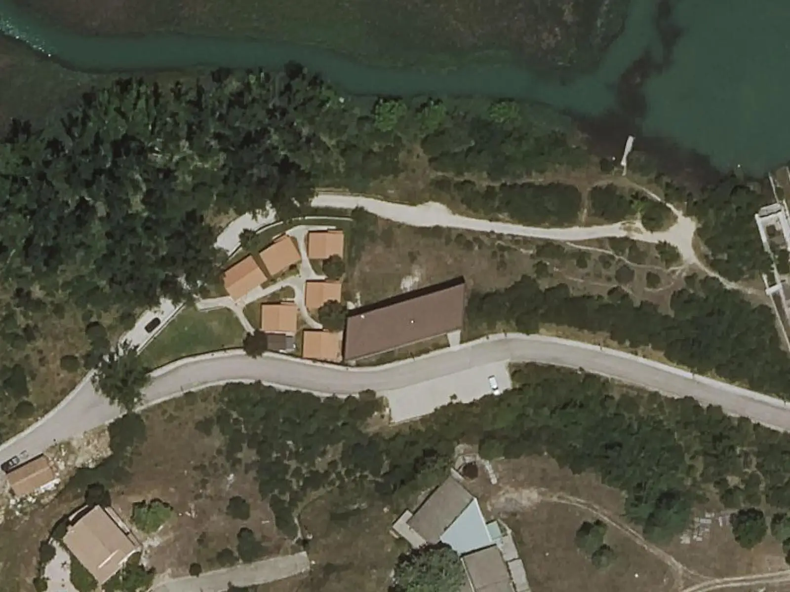
Uña Visitor Reception Centre
Uña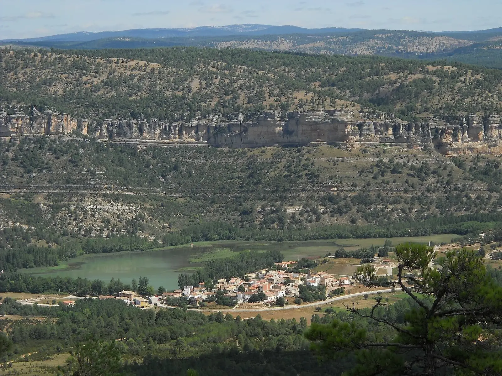
Laguna de Uña
Uña
Laguna de Uña viewpoint
UñaPopulation of Villalba de la Sierra, 1842–2021
Villalba de la Sierra reached 1,140 inhabitants in 1940. The 2021 census counted 476, 58 % fewer. It is the story told in the emptying.
Location
● Reference point · ● Villages · ● Places · ━ Routes nearby
Location sketch. The map with paths and names loads as you scroll to it.
Approximate position: village centre.
Reference villages: Zarzuela · Portilla · Sotorribas · Las Majadas.
Open the full map and its historical layers →Where the data on this page come from
- Name
- IGN, Equipamiento Geográfico de Referencia Nacional: nombre oficial y código INE source consulted, 5 October 2026
- Turismo de Castilla-La Mancha source consulted, 4 October 2026
- Municipality (INE code)
- IGN, Equipamiento Geográfico de Referencia Nacional: nombre oficial y código INE source consulted, 5 October 2026
- Turismo de Castilla-La Mancha source consulted, 4 October 2026
- Protected areas
- Ley 5/2007, de 8 de marzo, de Declaración del Parque Natural de la Serranía de Cuenca (DOCM) reference located, 5 October 2026
- Junta de Castilla-La Mancha, Educación Ambiental: ficha técnica de la exposición «Serranía de Cuenca» reference located, 5 October 2026
- Location
- IGN: Nomenclátor Geográfico Básico de España, capital de municipio (CC BY 4.0) source consulted, 9 October 2026
«Source consulted»: the primary source has been read. «Reference located»: the source has been identified but not yet read. «Open question»: the figure needs confirmation.
More about Villalba de la Sierra, told from the village: the Villalba de la Sierra Town Council website.