Village · Cuenca
Portilla
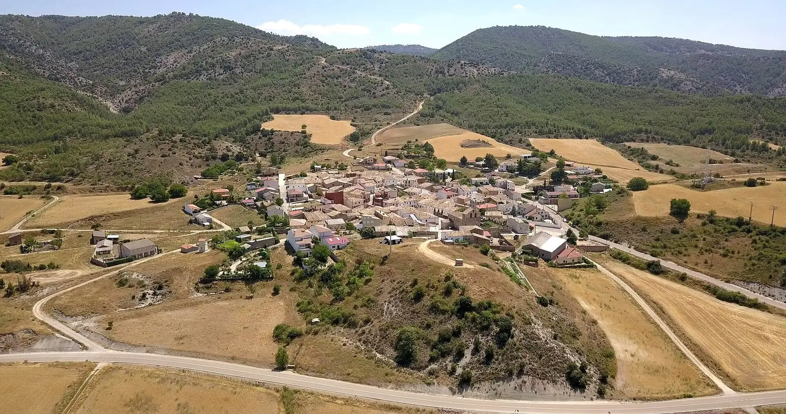
Portilla is a village in north-western Serranía Media (middle Serranía), within the Natural Park. Its certified PR-CU 30 trail passes through the Gollizno narrows and the Hoz del Moro quarries, which supplied ashlar blocks and millstones. It had 381 inhabitants in 1930 and 58 in 2021.
On this page 9 sections
A village in the north-western mountains
Portilla lies at the north-western edge of Serranía Media (middle Serranía), within the Natural Park. Its municipality, about 33 km², mixes hills, pine forests and small woods, with thyme and rockrose in the scrub. On the square stands San Miguel Arcángel church, with a bell gable and dressed-stone doorways, rebuilt several times after fires during the 20th century.
What trades and memory tell
At the head of the Hoz del Moro was a quarry for large ashlar blocks and millstones, some of which remain. Further down is the Piedra Jaspe quarry.
In October 1874, during the Carlist War, an army and Civil Guard column surprised a Carlist band in La Portilla which had been going from village to village demanding rations and collecting contributions. The attack began at ten at night, with fighting from the houses, according to the Gaceta of 12 October.
Routes
PR-CU 30 (short-distance trail) is 12.5 km long. A kilometre from the village it enters the Gollizno narrows, a water-cut gorge, and climbs steeply past Fuente de la Zarzamora and the Hociquilla ravine to Cerrillo del Cura, at 1,370 m, the municipality’s highest point. It descends through the Hoz del Moro and El Entredicho, with its waterfall, and through juniper woodland to Piedra Jaspe, returning along the shaded side of El Callejón. In the Hoz del Moro, ashlar blocks and millstones remain half extracted: perhaps they were never detached from the rock, or were extracted but proved too heavy to bring down over that terrain. Below, at the jasper quarry, the stone’s colours and extraction cuts are still visible.
The drove road came down here
The Cañada Real de Rodrigo Ardaz (royal drove road) crosses Portilla’s municipality, the route of seasonally migrating flocks from the high mountains towards Jaén and Ciudad Real. Just before Villalba de la Sierra, the Tinada del Rojo, in Portilla, was one of the shepherds’ preferred overnight stops.
Plan your visit
PR-CU 30 is a mountain walk of about four hours: start early.
Before you travel
The Gollizno climb is steep and slippery in rain. Bring water, a map and walking footwear.
Combine with
Las Majadas is 5.1 km away in a straight line, Zarzuela 5.5 km and Villalba de la Sierra 6.1 km.
Frequently asked questions
Which trail leaves Portilla?
PR-CU 30, Ruta del Gollizno y Las Canteras, approved by the Castilla-La Mancha Mountain Sports Federation and the Provincial Council: 12.5 km, 450 m of elevation gain and about 4 hours, through the Gollizno narrows, Cerrillo del Cura (1,370 m) and Hoz del Moro.
What came from the quarries?
At the head of the Hoz del Moro was a quarry for large ashlar blocks and millstones, examples of which remain.
How many inhabitants does it have?
58 in the 2021 census. Its peak was 381 in 1930, according to the INE.
Carry on from here
The rivers, zones, eras, places and official routes that the atlas links with Portilla.
Lands and landscapes
From here, follow the memory of the land
These readings connect Portilla with the stories, the work and the villages around it.
Places in the municipality and around it
Official routes
Near Portilla
Piedra Yunque
Villalba de la Sierra
Callejones de Las Majadas
Las Majadas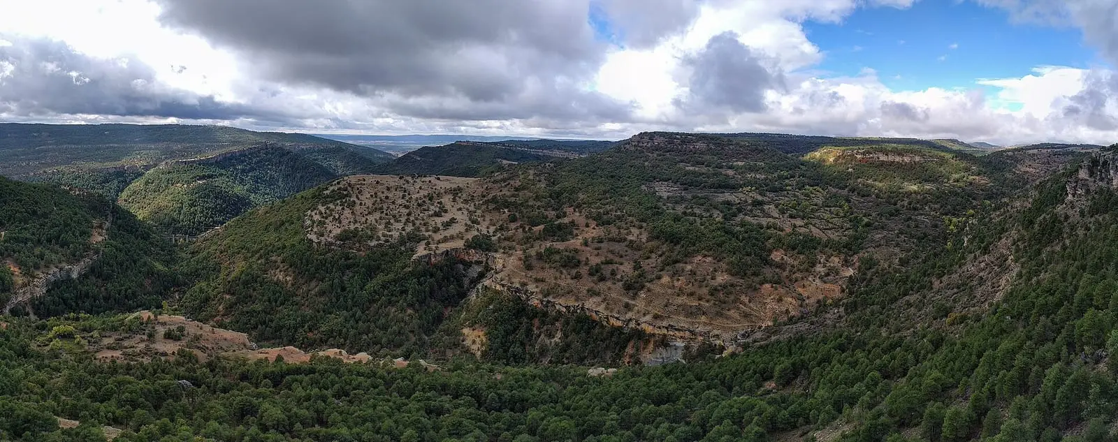
Tío Cogote viewpoint
Las MajadasSee 5 more
Las Librerías viewpoint
Balcón de Pilatos viewpoint
Travertino viewpoint, Uña
Uña
Fuente de la Tía Perra picnic area
Cuenca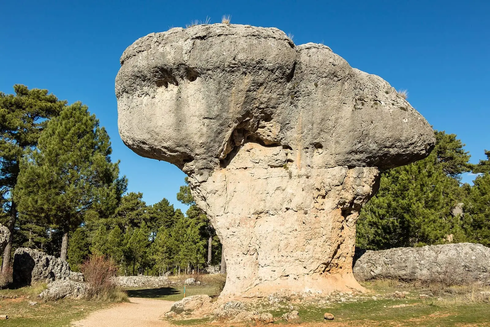
Ciudad Encantada de Cuenca
CuencaPopulation of Portilla, 1842–2021
Portilla reached 381 inhabitants in 1930. The 2021 census counted 58, 85 % fewer. It is the story told in the emptying.
Location
● Reference point · ● Villages · ● Places · ━ Routes nearby
Location sketch. The map with paths and names loads as you scroll to it.
Approximate position: village centre.
Reference villages: Las Majadas · Zarzuela · Villalba de la Sierra · Arcos de la Sierra.
Open the full map and its historical layers →Where the data on this page come from
- Name
- IGN, Equipamiento Geográfico de Referencia Nacional: nombre oficial y código INE source consulted, 5 October 2026
- Turismo de Castilla-La Mancha source consulted, 4 October 2026
- Municipality (INE code)
- IGN, Equipamiento Geográfico de Referencia Nacional: nombre oficial y código INE source consulted, 5 October 2026
- Turismo de Castilla-La Mancha source consulted, 4 October 2026
- Protected areas
- Ley 5/2007, de 8 de marzo, de Declaración del Parque Natural de la Serranía de Cuenca (DOCM) reference located, 5 October 2026
- Junta de Castilla-La Mancha, Educación Ambiental: ficha técnica de la exposición «Serranía de Cuenca» reference located, 5 October 2026
- Location
- IGN: Nomenclátor Geográfico Básico de España, capital de municipio (CC BY 4.0) source consulted, 9 October 2026
«Source consulted»: the primary source has been read. «Reference located»: the source has been identified but not yet read. «Open question»: the figure needs confirmation.