Village · Cuenca
Las Majadas
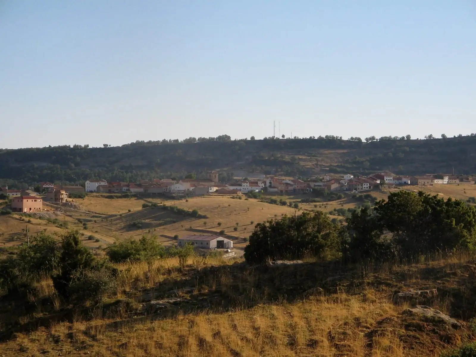
Las Majadas is a village in Serranía Alta (upper Serranía), within the Natural Park. It owes its name to shepherds' folds and its fame to Los Callejones, a stone maze of karren. It had 844 inhabitants in 1960 and 237 in 2021, and winters are long, with around 78 frost days a year.
On this page 9 sections
A village made of shepherds’ folds
Las Majadas lies in Serranía Alta (upper Serranía), in the heart of the Natural Park. It takes its name from the majada (stock fold), the shelter where shepherds gathered their flock at dusk, and grew out of seasonal livestock migration: the first to settle are thought to have been shepherds from Poyatos, beside the Pozo de las Ánimas. Remains of graves and the Cueva de los Moros point to earlier inhabitants. It is one of the coldest villages in the mountains.
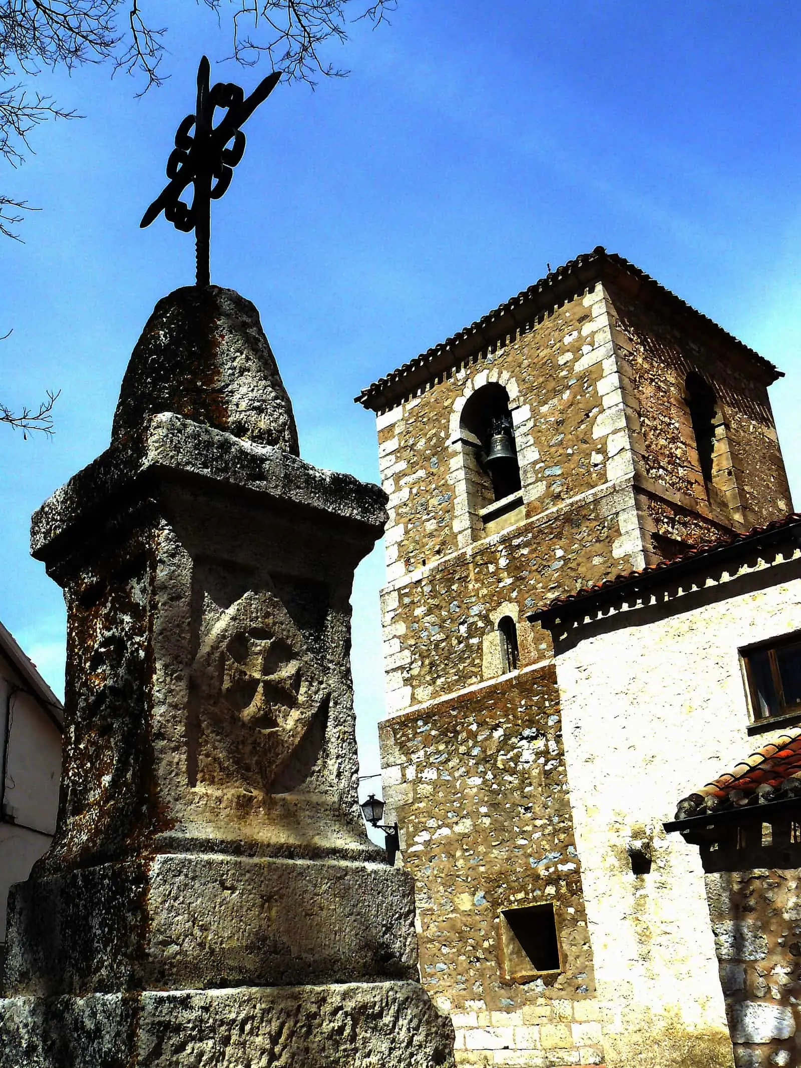
After the conquest of Cuenca it passed through the hands of the Jaraba and Albornoz families and became a town under direct Crown jurisdiction, unusual among the mountain lordships. In 1752 it had tailors, weavers and an apothecary. The church of Nuestra Señora del Sagrario preserves an altarpiece from 1618 and a Mudéjar timber ceiling.
The inhabitants are called majaeros; historian Miguel Romero explains this as a shortened form of majaderos, those who tended the folds, although no study confirms it.
Los Callejones
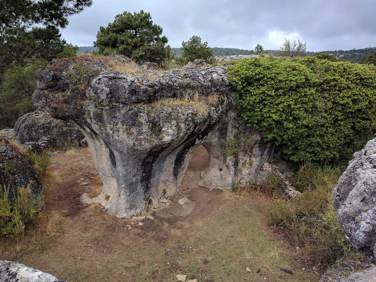
Los Callejones are passages and towers of limestone opened by water dissolving the rock: one of the Park’s best karrens. Nearby are the Cascada del Fraile, which flows only seasonally, and the Tío Cogote viewpoint.
In the village is a circular shelter inspired by shepherds’ huts, with a stable beside it. The European LIFE Cañadas project scheduled roof repairs, insulation and furnishing for 2021; the article reporting it does not say whether this was done.
In June 2026, the Town Council and El Hosquillo accommodation hosted the Trashumancias 2.6 project incubator. Students were preparing around ten projects to carry out in autumn; the same article sometimes mentions ten students and sometimes twelve.
On 3 May, for the Cruz de Mayo, a tower of firewood is burnt, the cross is decorated with box, yew and butcher’s broom, a procession goes to the cemetery and hot chocolate with caridad, charitable food, is served in the former parish hall. On 10 May 2025 the village hosted the Trashumancias 2.5 Living Lab, with talks, mentoring and theatre; pensioners lent their premises and helped with meals.
Routes
- PNSC-S2, Los Callejones: 3.6 km and an hour and a half among the rocks. The track to the car park leaves the forest road towards the CM-2105, just over 2.5 km from the village.
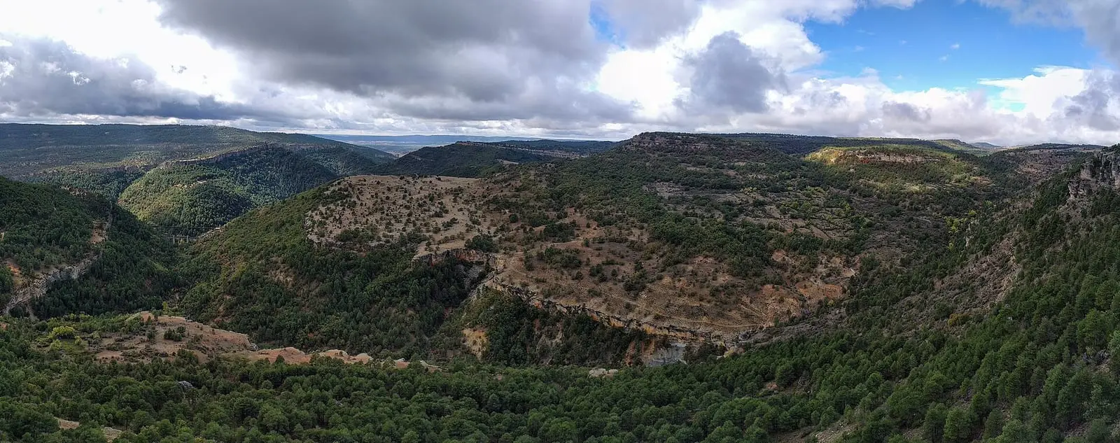
- PR-CU 28 (short-distance trail), Las Fuentecillas y Los Callejones: 12.5 km from the village, beneath the cliffs and then above them, with views of the Júcar valley, to Los Callejones.
- PR-CU 104, through the Dehesa de los Olmos: 14.5 km.
Plan your visit
Start with PNSC-S2, a short walk. With a full day, PR-CU 28 adds views of the Júcar.
Before you travel
The karren has fissures and sharp edges: wear firm-soled footwear and take care in narrow passages. In winter the forest tracks may have ice or snow.
Combine with
Portilla is 5 km away in a straight line; Villalba de la Sierra and Uña, 9 km.
Frequently asked questions
What are Los Callejones de Las Majadas?
One of the Natural Park's best examples of karst landforms in karren: passages and rock formations shaped by dissolution. The short walk, PNSC-S2, is 3.6 km long and takes an hour and a half.
Which trails start in Las Majadas?
PNSC-S2 Los Callejones (3.6 km), PR-CU 28 Las Fuentecillas y Los Callejones (12.5 km, 3.5 hours) and PR-CU 104 Dehesa de los Olmos (14.5 km).
Where does the name come from?
From the majada, the pastoral shelter where shepherds brought their flock at the end of the day.
Carry on from here
The rivers, zones, eras, places and official routes that the atlas links with Las Majadas.
Lands and landscapes
From here, follow the memory of the land
These readings connect Las Majadas with the stories, the work and the villages around it.
Places in the municipality and around it
Official routes
Near Las Majadas
Las Librerías viewpoint
Piedra Yunque
Villalba de la Sierra
Balcón de Pilatos viewpoint
See 5 more
Fuente de la Tía Perra picnic area
Cuenca
Travertino viewpoint, Uña
Uña
Uña Visitor Reception Centre
Uña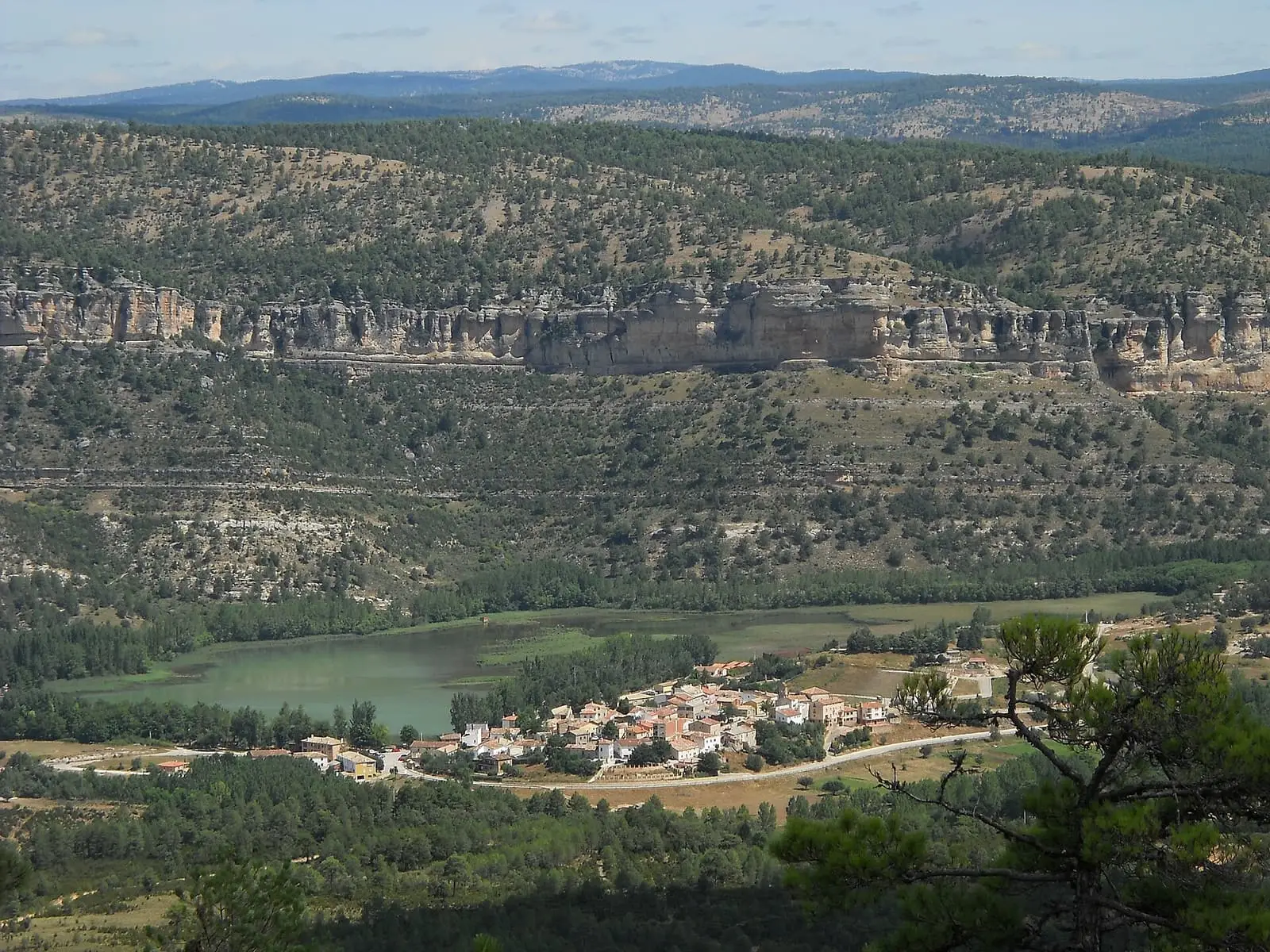
Laguna de Uña
Uña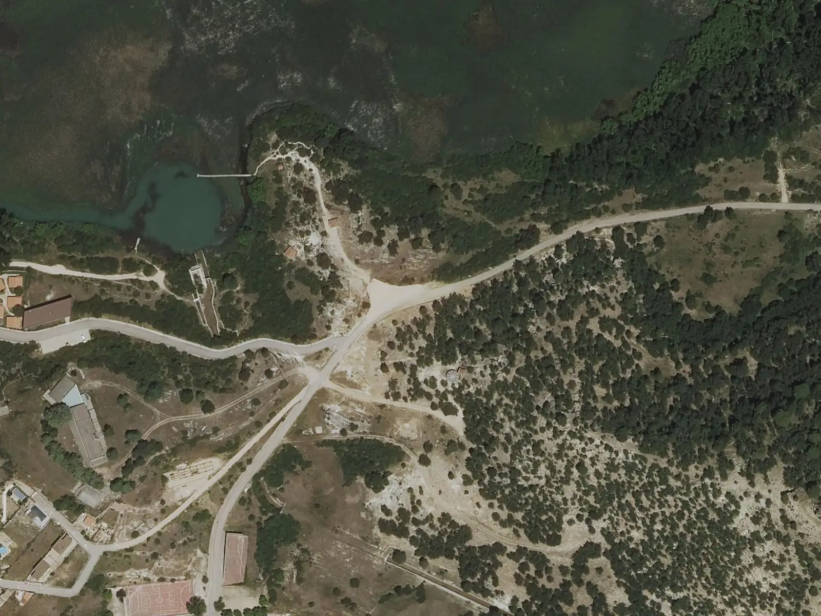
Laguna de Uña viewpoint
UñaPopulation of Las Majadas, 1842–2021
Las Majadas reached 844 inhabitants in 1960. The 2021 census counted 237, 72 % fewer. It is the story told in the emptying.
Climate in Las Majadas month by month
Averages for the ten years from 2015 to 2024 from the ERA5 reanalysis (Copernicus), for a grid cell with a reference altitude of 1399 m. They are model estimates, not measurements from a local station or thirty-year climate normals.
Source: Copernicus ERA5 via Open-Meteo, CC BY 4.0. Retrieved: 2026-10-09.
Location
● Reference point · ● Villages · ● Places · ━ Routes nearby
Location sketch. The map with paths and names loads as you scroll to it.
Approximate position: village centre.
Reference villages: Portilla · Villalba de la Sierra · Uña · Arcos de la Sierra.
Open the full map and its historical layers →Where the data on this page come from
- Name
- IGN, Equipamiento Geográfico de Referencia Nacional: nombre oficial y código INE source consulted, 5 October 2026
- Municipality (INE code)
- IGN, Equipamiento Geográfico de Referencia Nacional: nombre oficial y código INE source consulted, 5 October 2026
- Protected areas
- Ley 5/2007, de 8 de marzo, de Declaración del Parque Natural de la Serranía de Cuenca (DOCM) reference located, 5 October 2026
- Junta de Castilla-La Mancha, Educación Ambiental: ficha técnica de la exposición «Serranía de Cuenca» reference located, 5 October 2026
- Location
- IGN: Nomenclátor Geográfico Básico de España, capital de municipio (CC BY 4.0) source consulted, 9 October 2026
«Source consulted»: the primary source has been read. «Reference located»: the source has been identified but not yet read. «Open question»: the figure needs confirmation.
More about Las Majadas, told from the village: the Las Majadas Town Council website.