Village · Cuenca
Uña
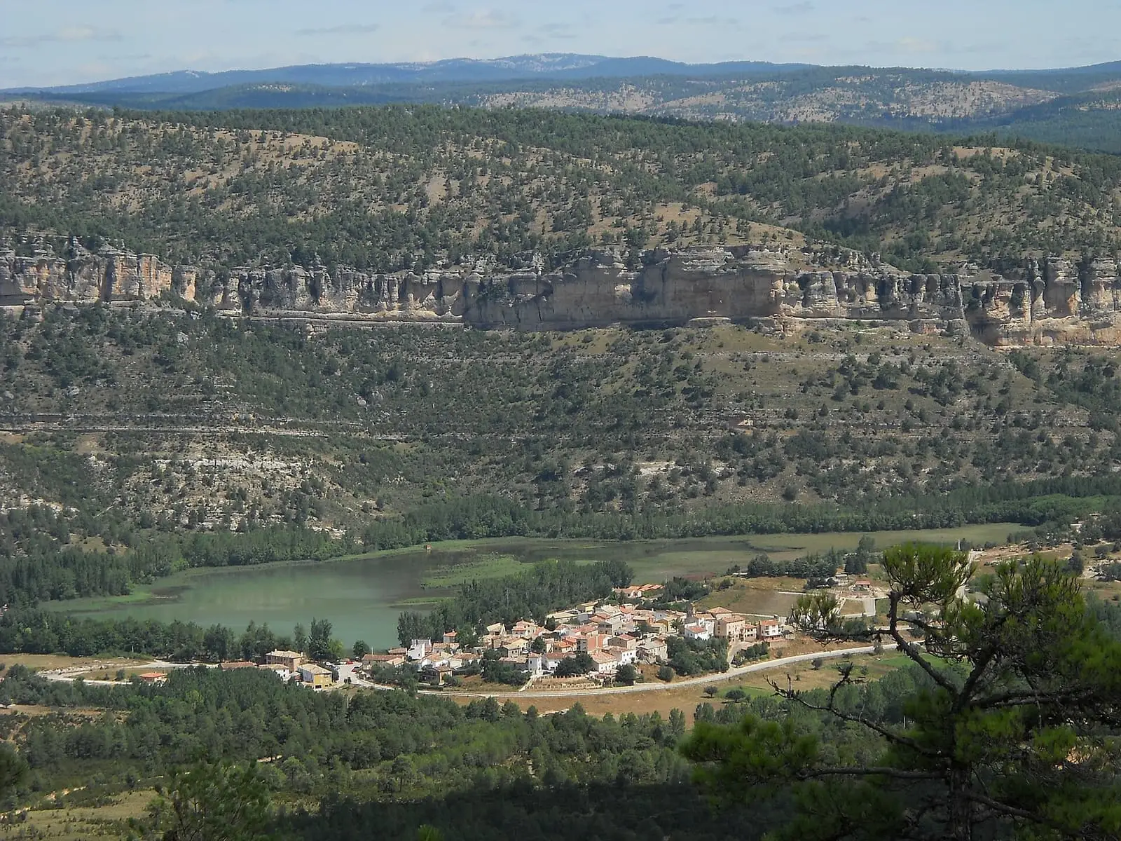
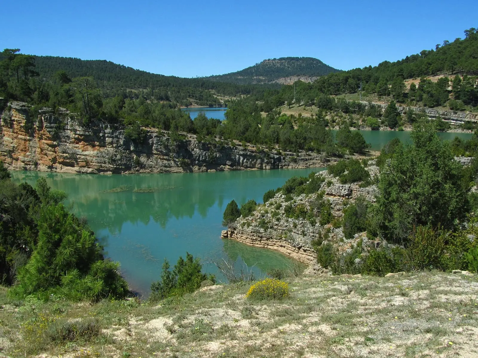
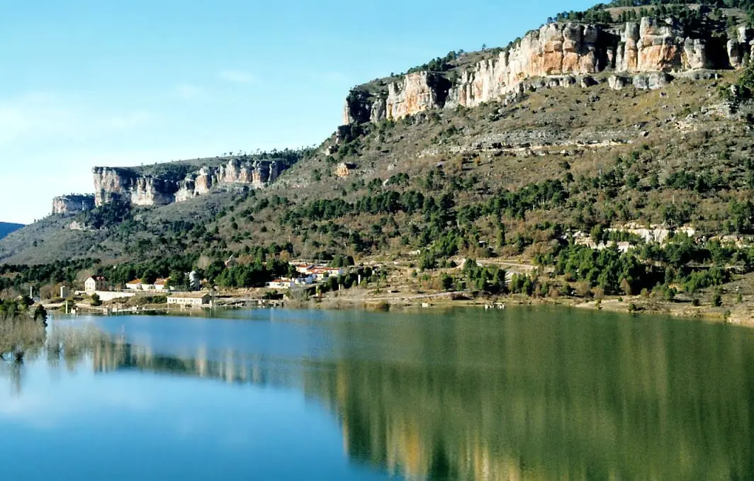
Uña is a village in the Serranía de Cuenca, within the Natural Park, on a hill between its namesake lake and the Júcar, about 36 km from the provincial capital. The lake, among limestone cliffs and pine forests, grew with the Salto de Villalba canal. It had 637 inhabitants in 1930 and 88 in 2021.
On this page 16 sections
A village on a hill
Uña lies about 36 km from Cuenca, within the Natural Park, between the flat-topped hills of Valdecabras and La Madera. Its centre occupies a hill, with the lake to the north and the Júcar on the other side, cutting gorges along the road. San Miguel Arcángel church, of Renaissance origin, holds the image of San Roque, the patron saint. Uña appears in 13th-century documents. Between 1857 and 1930 it was not a municipality: it was joined to Valdecabras. In 2025 the village celebrated its town council’s centenary, which would place separation in 1925; the INE only allows it to be placed between the 1920 and 1930 censuses.
The lake and the canal
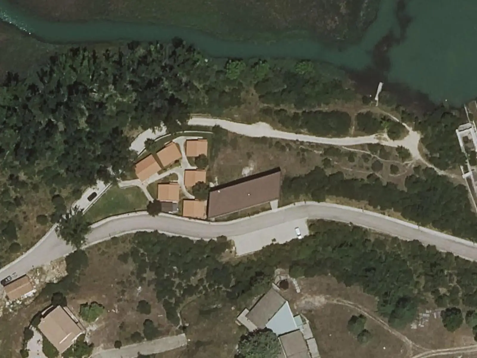
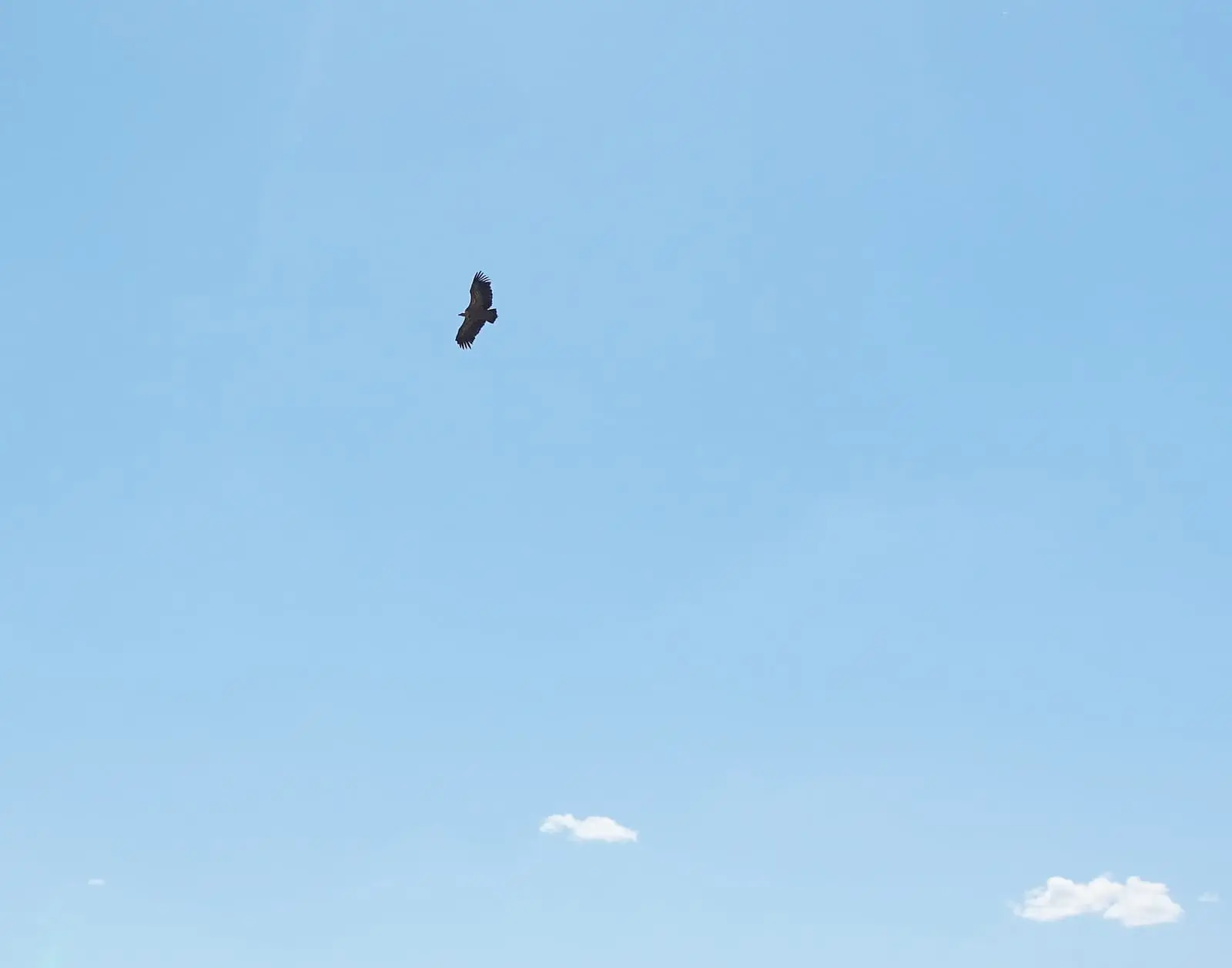
Laguna de Uña forms where the Rincón stream meets the Júcar. Its turquoise water reaches the foot of limestone cliffs and pine woods, with griffon vultures above. It also receives water from a hydroelectric canal: that of the Salto de Villalba, the power station inaugurated in 1926 and supplied from the Júcar via La Toba reservoir. For this the lake was dammed and enlarged. The canal’s date is unclear: some sources say 1924, others the 1960s.
The cableway, pitch kilns and mine
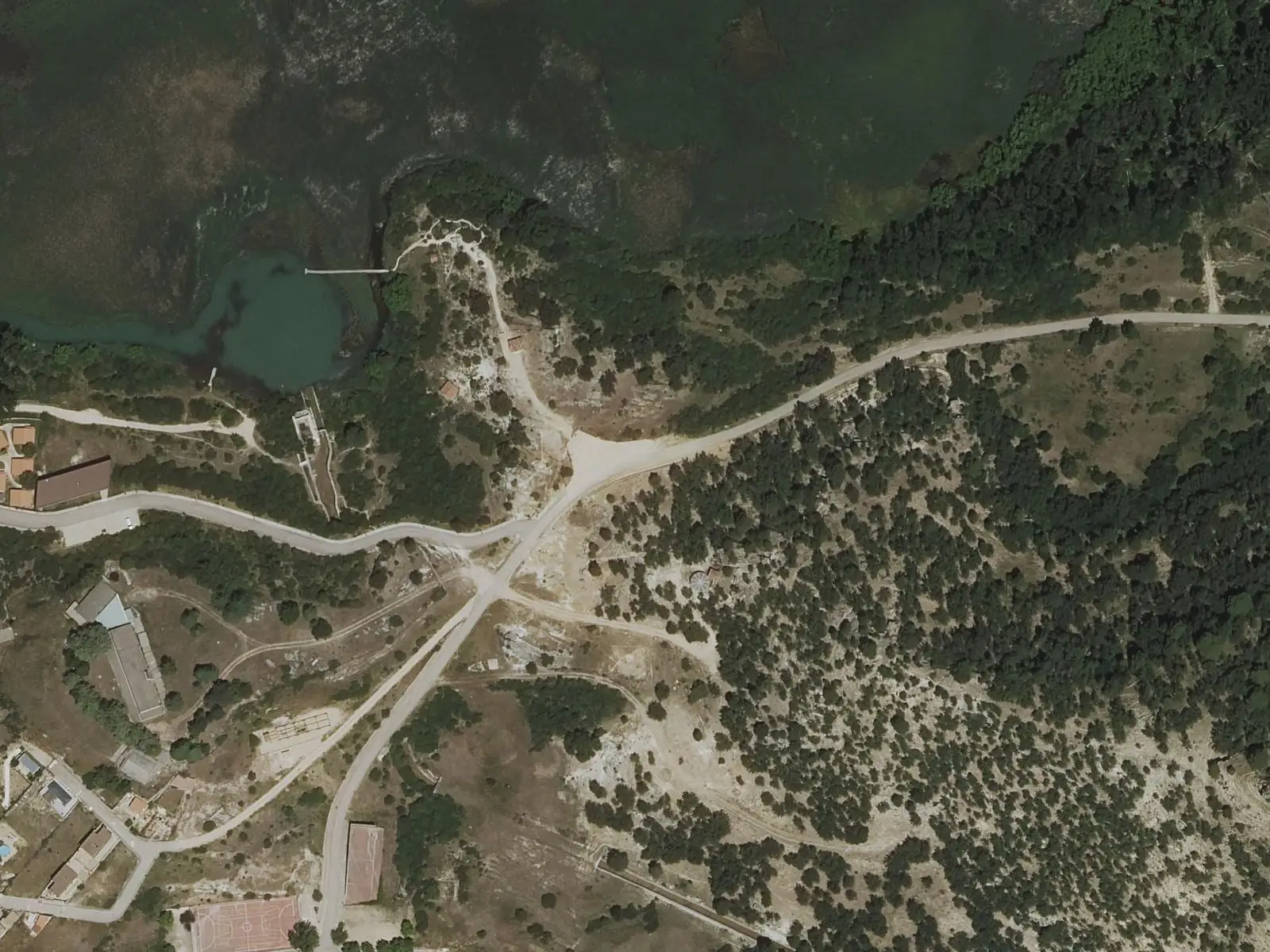
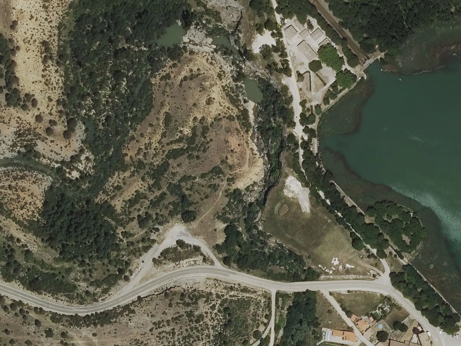
At the gorge edge, above the Rincón stream, the sockets of the timber cableway’s supports are still visible. Proposed in 1919 by Cuenca forestry district chief Jorge Torner to extract pines from Muela de la Madera, which had no roads, it began operating in November 1923. A 1,273-metre steel cable descended 210 metres from Puntal de la Bandera, lowering about 12,000 kilos of timber an hour. It was the first installed by the State in public woodland. Below, logs were loaded onto mule carts to the lake, then floated down the Júcar to Villalba.
Beside the cableway foundations is the upper pitch kiln, and behind the pelota court, towards Huélamo, the lower one: two restored kilns where old pine stumps and chips were burnt for pitch, used, among other things, to mark a ewe and her lamb with the same number. Around 1,600 kilos of chips yielded about 200 of pitch. On the way to the cemetery are entrances to a lignite mine supplying the village with coal and worked until the 1960s; a fossil deposit of mammals, crocodiles and turtles was found inside.
On the Peña Rubia slope, near the Virgen del Espinar hermitage and remains of La Malena hermitage, are human-shaped graves cut into rock, probably Visigothic and unstudied, rediscovered when the La Toba canal was opened. The canal works also changed the village: as compensation, the electricity company built the town hall, new cemetery and washhouse, dating from 1924. Near the lake, above the so-called Cueva del Batán, stood a fulling mill, where water-driven hammers beat woollen cloth; its date is unknown.
A thousand plants in El Rincón
Botanist Óscar García Cardo carried out his final degree project in the Rincón de Uña: in an area of a hundred hectares or a little more he found over a thousand plant species. With Gonzalo Mateo Sanz and Juan Manuel Martínez Labarga, he is one of three authors of the Catálogo Florístico de Cuenca, presented in 2025, covering over 2,500 species in the province. Their explanation is the mixture: the Sistema Ibérico has been a route for plants of different origins, and limestone, siliceous sands and gypsum meet here across many altitudes. In grid squares most transformed by cereal farming, by contrast, they struggled to find a field boundary to survey.
Three spouts almost a century old
According to its surviving inscription, the washhouse began operating in 1924. It is no longer used for washing, but in 2022 villagers still fetched water from the fountain, supplied directly by a spring rather than the village tanks, with a picnic area beside it. That summer someone tore out its three spouts, bronze-plated and of little monetary value, used by parents, grandparents and great-grandparents; removing them damaged the wall. The Town Council was seeking identical pieces or a smith to make replicas.
Within the municipality is the Provincial Council’s Fuente de las Tablas hostel, where the Esparvel naturalists’ group built a large stone fountain arranged like an agora for the young guests to gather. Esparvel has catalogued fountains and springs for over twenty years: starting in the Serranía, it has recorded over two thousand in the province and estimates there could be many more. To find them, members go out with shepherds, farmers and older people from each village, who know each water source’s names and stories.
The Royo Frío bridge
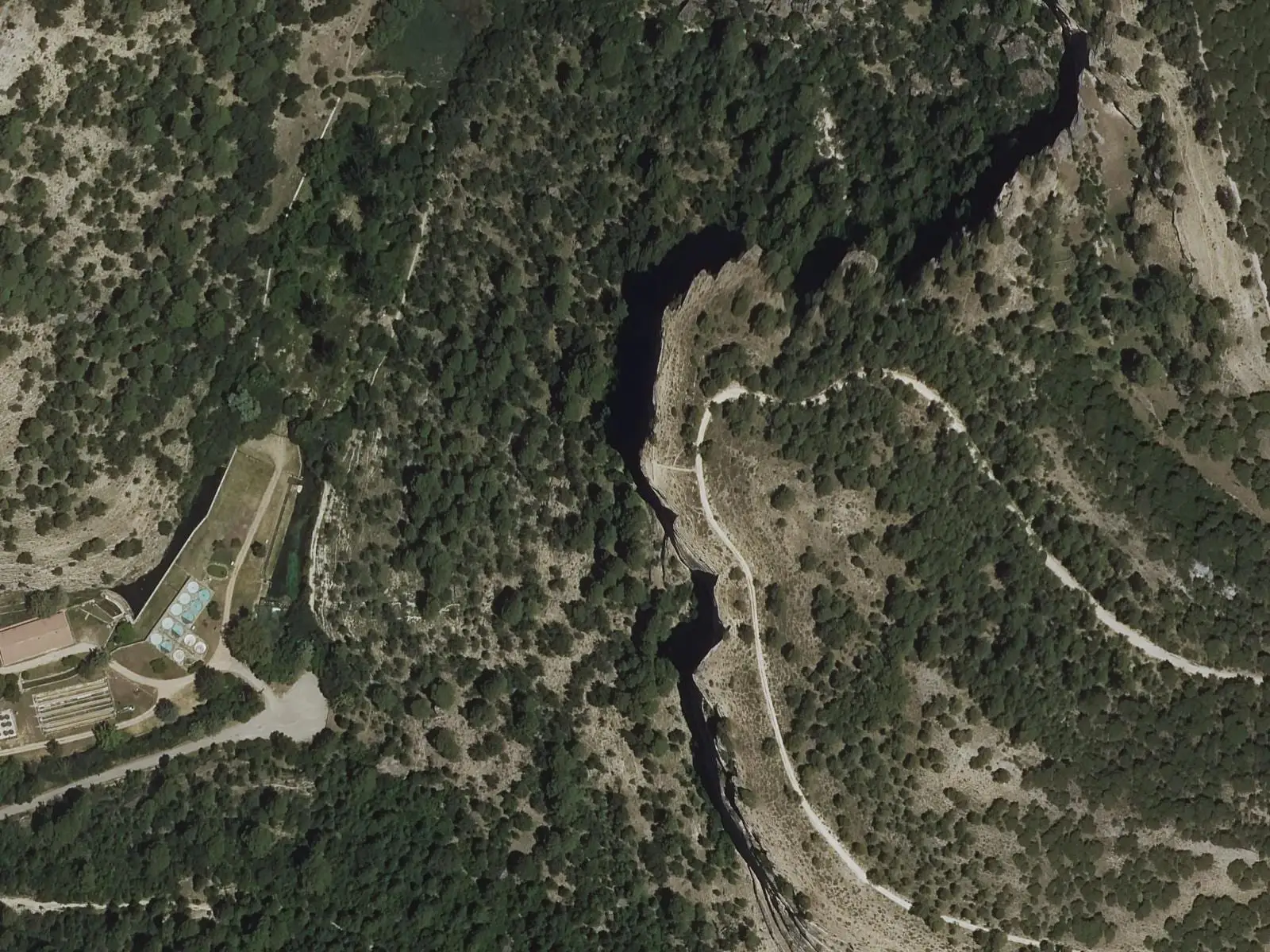
The canal carrying water from La Toba to the power station crosses a ravine on the Royo Frío iron bridge, whose framework guide Fernando Carreras compares to Cuenca’s San Pablo bridge, although it is not known whether they share a designer. Its name is linked to the Ríofrío stream. Abandoned construction buildings remain beside the canal. The canal is private and has tunnels: do not follow it. Around it, on Muela de la Madera, black pine and Scots pine mix, and in spring 2021, after the Filomena snows, it was full of yellow fennel, white asphodels and orchids. The conduit’s date is unclear: one radio piece dates the overall works to 1925, another only says the early 20th century.
The village has its 1924 church and much housing rebuilt in the 20th century, partly after the Civil War. Above the lake is a public fish farm studying and restocking native trout. In the 2023 population register Uña had 88 inhabitants.
Tales and enchantments
For that centenary the villagers wrote a book together: Uña, cuentos y encantos (2025), with 38 stories and illustrations. It grew from an Easter writing workshop and what people brought orally, in notes or by post: traditional tales such as the young goats, some updated with social media, memories of work on the threshing floor and invented stories. It was initiated by La Escuelita, a place where year-round residents meet to learn and do things, and the proceeds were announced for the Spanish Association Against Cancer.
Around Uña
- Visitor Reception Centre, facing the lake, devoted to water and the tufa barrier, with a model of its appearance before enlargement and a viewpoint with a telescope.
- Laguna de Uña and its cliffs and the Travertino viewpoint.
Routes
The PR-CU 37 (short-distance trail), Sendero del Escalerón y La Raya, climbs from the village via El Escalerón to the cliff-top track and descends by La Raya, a narrow path. From Fuente de las Tablas hostel start PR-CU 108, to Monteagudillo and La Toba reservoir, 9.8 km, and PR-CU 109, Vuelta a la Modorra, 9.5 km.
Plan your visit
The visitor centre, viewpoint and village fit into a morning. Each trail needs half a day.
Before you travel
Confirm visitor centre opening with the regional government. On La Raya and the cliffs, keep away from the edge. In winter, with the reservoir high, the Boquerón stream crossing on PR-CU 109 may be cut off.
Combine with
Las Majadas and Villalba de la Sierra are less than 10 km away in a straight line.
From the archive
Frequently asked questions
How did Laguna de Uña form?
It lies at the confluence of the Rincón stream and Júcar, beside a tufa barrier. Castilla-La Mancha Tourism says its capacity tripled with the 1924 canal linking La Toba reservoir to the Salto de Villalba; Cuenca Provincial Council mentions a 1960s canal. Villalba power station entered service in 1926.
What can be seen from the visitor centre?
The Natural Park's Visitor Reception Centre faces the lake and has a viewpoint with a telescope for observing aquatic wildlife, a model of the original situation before enlargement and an audiovisual presentation about life on the Júcar. It has a Joelette chair for people with reduced mobility.
Which approved trails leave Uña?
PR-CU 37, Sendero del Escalerón y La Raya, a 9.7 km circuit with 380 m of elevation gain taking about 3 hours, starts in the village; PR-CU 108 (Monteagudillo y el embalse de la Toba) and PR-CU 109 (Vuelta a la Modorra) start at Fuente de las Tablas hostel.
Carry on from here
The rivers, zones, eras, places and official routes that the atlas links with Uña.
Rivers and basins
Following the water from Uña
Follow these watercourses to where they meet, to their villages and to the memories of their basin.
Lands and landscapes
From here, follow the memory of the land
These readings connect Uña with the stories, the work and the villages around it.
Places in the municipality and around it
Official routes
Near Uña
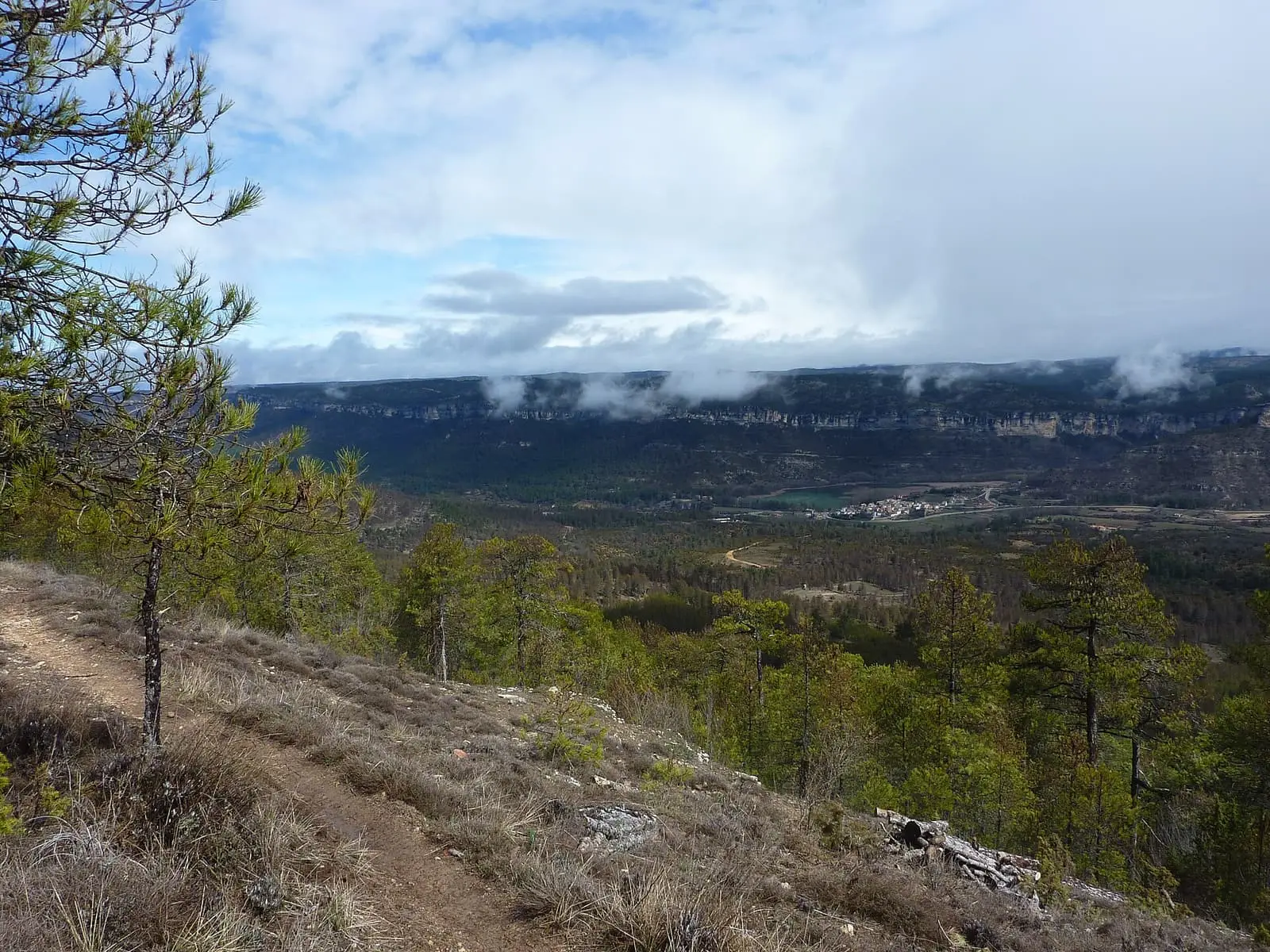
Uña viewpoint
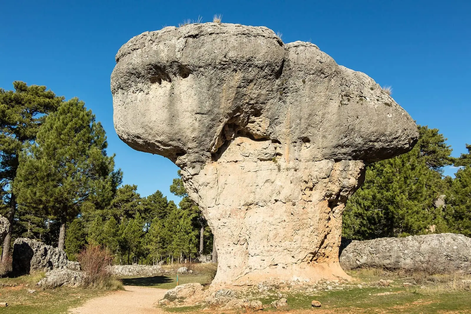
Ciudad Encantada de Cuenca
Cuenca
Fuente del Arenazo picnic area
CuencaSee 4 more
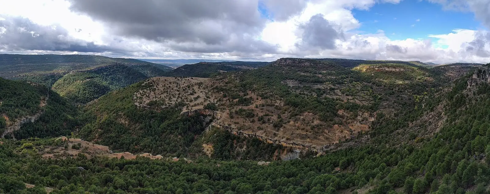
Tío Cogote viewpoint
Las Majadas
Piedra Yunque
Villalba de la Sierra
Callejones de Las Majadas
Las Majadas
Molino de Juan Romero picnic area
CuencaPopulation of Uña, 1842–2021
Uña reached 637 inhabitants in 1930. The 2021 census counted 88, 86 % fewer. It is the story told in the emptying.
Climate in Uña month by month
Averages for the ten years from 2015 to 2024 from the ERA5 reanalysis (Copernicus), for a grid cell with a reference altitude of 1131 m. They are model estimates, not measurements from a local station or thirty-year climate normals.
Source: Copernicus ERA5 via Open-Meteo, CC BY 4.0. Retrieved: 2026-10-09.
Location
● Reference point · ● Villages · ● Places · ━ Routes nearby
Location sketch. The map with paths and names loads as you scroll to it.
Approximate position: village centre.
Reference villages: Las Majadas · Villalba de la Sierra · Buenache de la Sierra · Portilla.
Open the full map and its historical layers →Where the data on this page come from
- Name
- IGN, Equipamiento Geográfico de Referencia Nacional: nombre oficial y código INE source consulted, 5 October 2026
- Turismo de Castilla-La Mancha source consulted, 4 October 2026
- Municipality (INE code)
- IGN, Equipamiento Geográfico de Referencia Nacional: nombre oficial y código INE source consulted, 5 October 2026
- Turismo de Castilla-La Mancha source consulted, 4 October 2026
- Protected areas
- Ley 5/2007, de 8 de marzo, de Declaración del Parque Natural de la Serranía de Cuenca (DOCM) reference located, 5 October 2026
- Junta de Castilla-La Mancha, Educación Ambiental: ficha técnica de la exposición «Serranía de Cuenca» reference located, 5 October 2026
- Location
- IGN: Nomenclátor Geográfico Básico de España, capital de municipio (CC BY 4.0) source consulted, 9 October 2026
«Source consulted»: the primary source has been read. «Reference located»: the source has been identified but not yet read. «Open question»: the figure needs confirmation.