Village · Cuenca
Cardenete
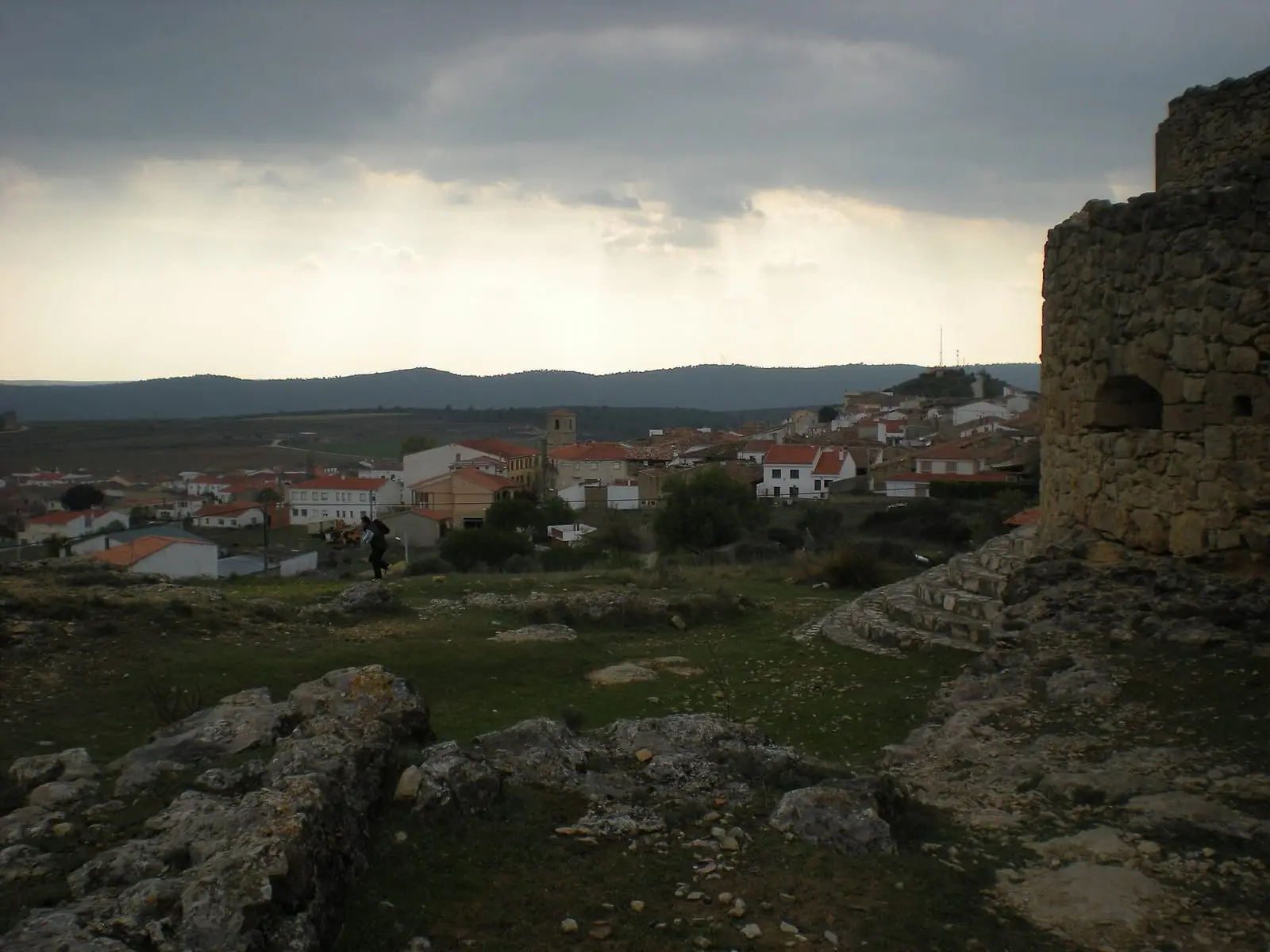
Cardenete is a village in the Serranía Baja (lower Serranía) of Cuenca, in the Valle del Cabriel Biosphere Reserve, with a castle of the marquisate of Moya, a church with a coffered ceiling of 1554 and a Baroque organ, a flour factory turned museum and a Mycological Museum. It had 1,997 inhabitants in 1950 and 494 in 2021.
On this page 10 sections
A large village in the Serranía Baja
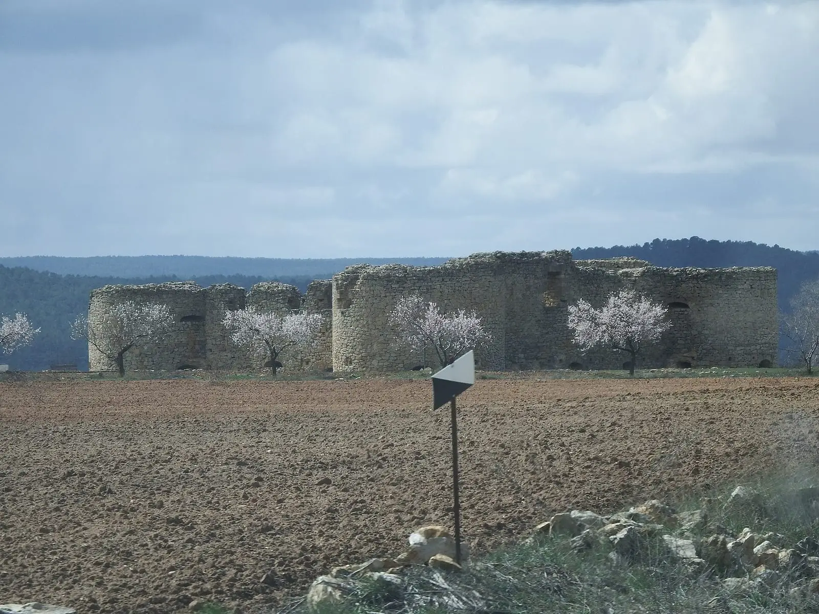
Cardenete lies in the Serranía Baja between the Guadazaón and Cabriel, within the Valle del Cabriel Biosphere Reserve. Its peak was between the 16th and 19th centuries. At one end of the village, on a rock platform, stands Cardenete castle, commissioned by a Marquis of Moya between 1520 and 1540 and never finished.
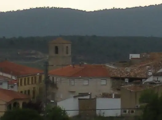
The church of La Asunción, completed in 1554, has a wooden roof with coffers and a Baroque organ of over eight hundred pipes, restored in 2013. At Holy Week the matraca, a wooden clapper, replaces the bells; it returned to the bell tower in January 2025.
What trades and memory tell
The former flour factory, from the late 19th century, moved milling from the mill to the machine and, with the railway, supplied the whole district. It stopped in the 1960s and retains its three floors linked by belts and wooden pipes. Outside the village remain the ruins of the Molino del Sargal.
The Mycological Museum explains what a fungus does in the soil and with trees, and has two interpretive routes through village and woods. These are not mushroom-gathering routes. The Ethnographic Museum preserves past life.
In 2021 a flock of several hundred sheep still left Cardenete daily to graze between Cardenete, Yémeda and Carboneras: stubble fields and woodland, kept out of crops and the road. Two brothers who inherited the family livestock tended it; one had previously worked in the village timber factory. They went with two donkeys, one for belongings and riding and the other, a pregnant female, among the sheep, and a female dog to gather them. In summer they leave in the cool and return at midday; in winter they begin at the shed. Wool no longer paid for shearing: income came from lambs.
Around Cardenete
- La Morrita viewpoint, the municipality’s highest point, overlooking much of the district.
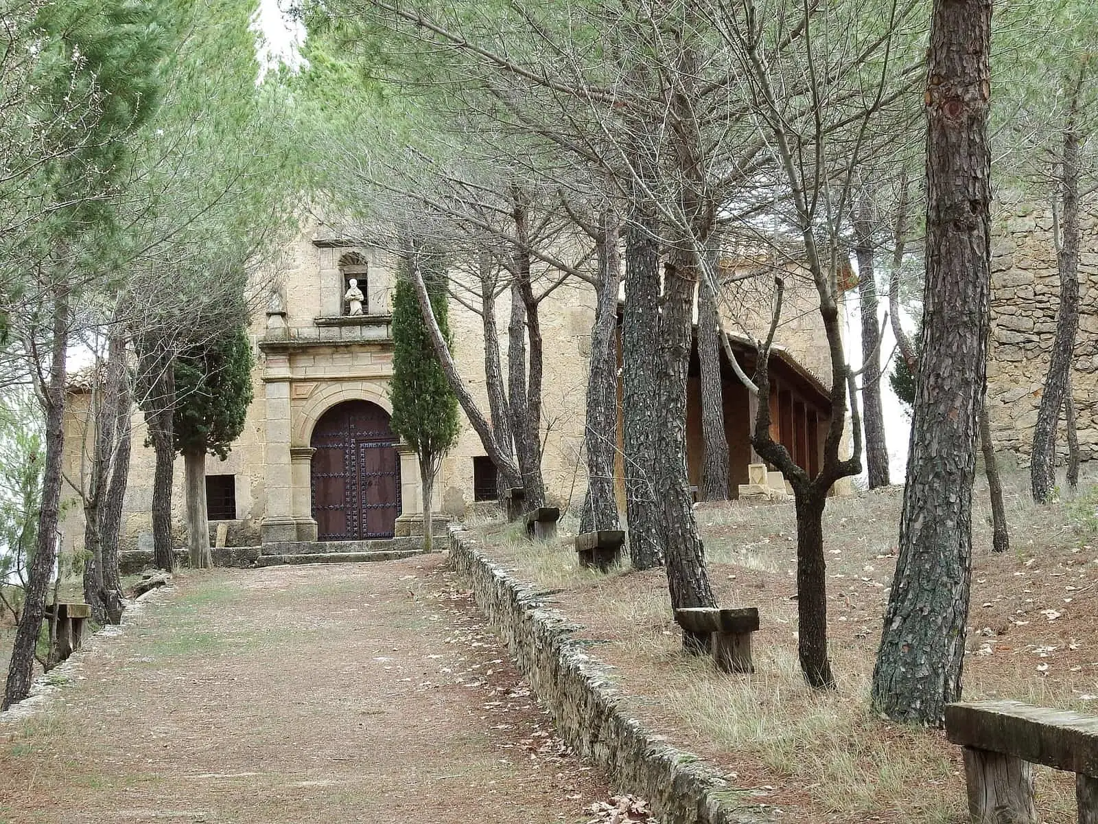
- San Antonio de Padua hermitage and Fuente Cornuda.
- Casa del Obispo Torrijos and the town hall.
Routes
The PR-CU 51, Sendero de las Fuentes, a short-distance trail, is 32.5 km with variants. It leaves Fuente del Tornajo beside the castle and links the springs of La Dehesilla, La Sarga and El Santillo, Las Barracas del Villar, a viewpoint over the Cabriel river plain and the Sargal valley.
Plan your visit
Start with the church and flour factory, continue to the Mycological Museum and climb La Morrita towards dusk.
Before you travel
Confirm museum and church opening times with the town council. Mushroom gathering in the woods is regulated.
Combine with
Frequently asked questions
What is there to see in Cardenete?
La Asunción church with its wooden roof and Baroque organ; the former flour factory, now a museum; the Mycological Museum and its «Del Museo al Bosque» (From Museum to Forest) route; the castle; viewpoints over the Cabriel and the PR-CU 51 Sendero de las Fuentes.
What is Cardenete's Mycological Museum?
A mycological interpretation centre promoted by AMIVALL, with panels and educational materials on fungi, their role in woodland and relationship with local culture. Its «Del Museo al Bosque» (From Museum to Forest) project combines two interpretive routes, one urban and one natural, and is not a gathering route.
What was the flour factory?
A late-19th-century factory marking the move from traditional mills to mechanised milling, supplying the district thanks to the railway. Abandoned in the 1960s, it is now being restored as a museum.
Carry on from here
The rivers, zones, eras, places and official routes that the atlas links with Cardenete.
Rivers and basins
Following the water from Cardenete
Follow these watercourses to where they meet, to their villages and to the memories of their basin.
Lands and landscapes
From here, follow the memory of the land
These readings connect Cardenete with the stories, the work and the villages around it.
Places in the municipality and around it
Official routes
Near Cardenete

Las Hoyas
La Cierva
Fuente del Royo picnic area
Huerta del Marquesado
Prao de San Roque picnic area
Huerta del MarquesadoSee 5 more
Paisaje Ilustrado of Huerta del Marquesado
Huerta del Marquesado
Fuente de la Ardilla picnic area
Valdemeca
Beamud viewpoint
Beamud
Fuente de los Pastores picnic area
Beamud
Valdemeca Visitor Reception Centre
ValdemecaPopulation of Cardenete, 1842–2021
Cardenete reached 1,997 inhabitants in 1950. The 2021 census counted 494, 75 % fewer. It is the story told in the emptying.
Climate in Cardenete month by month
Averages for the ten years from 2015 to 2024 from the ERA5 reanalysis (Copernicus), for a grid cell with a reference altitude of 972 m. They are model estimates, not measurements from a local station or thirty-year climate normals.
Source: Copernicus ERA5 via Open-Meteo, CC BY 4.0. Retrieved: 2026-10-09.
Location
● Reference point · ● Villages · ● Places · ━ Routes nearby
Location sketch. The map with paths and names loads as you scroll to it.
Approximate position: village centre.
Reference villages: Yémeda · Víllora · Enguídanos · Villar del Humo.
Open the full map and its historical layers →Where the data on this page come from
- Location
- IGN: Nomenclátor Geográfico Básico de España, capital de municipio (CC BY 4.0) source consulted, 9 October 2026
«Source consulted»: the primary source has been read. «Reference located»: the source has been identified but not yet read. «Open question»: the figure needs confirmation.
More about Cardenete, told from the village: Cardenete Town Council website.