Village · Cuenca
Víllora
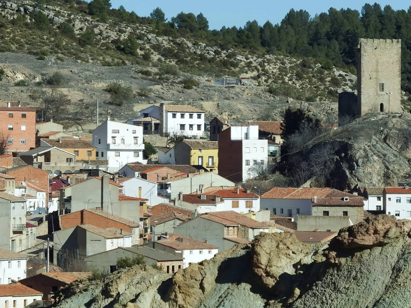
Víllora is a village in Serranía Baja (lower Serranía), on the slope of Cabeza de Víllora (1,207 m), above the Hoz del río San Martín and a few kilometres from the Chorreras del Cabriel Natural Monument, with its tufa. It reached 1,136 inhabitants in 1920 and had 119 in 2021.
On this page 9 sections
A village on a slope
Víllora lies in Serranía Baja (lower Serranía), where the Cabriel runs through gorges, within the Valle del Cabriel Biosphere Reserve. Its centre, with whitewashed houses and narrow streets, rests on the slope of Cabeza de Víllora, 1,207 metres high. On the square are an eight-spout fountain and a covered washhouse. Above stands Víllora castle, with its detached defensive tower.
According to Madoz, the castle burnt on 22 February 1840, during the Carlist War, set alight by Arnau. In the mid-18th century the village paid a physician, surgeon and apothecary and had a tailor and shopkeeper, according to the Cadastre income records published by the INE.
Las Chorreras del Cabriel
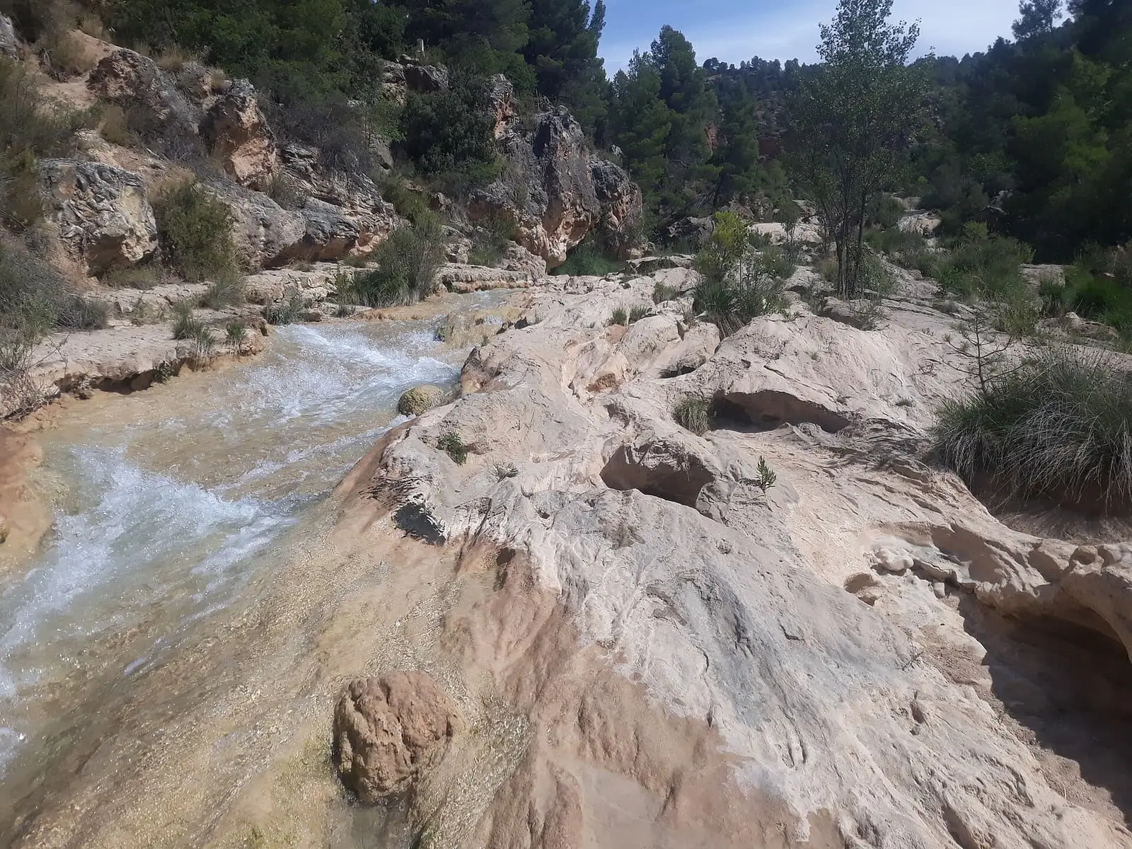
Within the municipality, the Cabriel has cut Las Chorreras, a canyon in a large tufa formation, with drops and small waterfalls. It is a natural monument. The October 2024 DANA storm damaged the area, and since then descending to the pools has been prohibited and the western slope closed because of rockfall risk. Access is only along the left bank, on PR-CU 53 (short-distance trail), from Víllora car park or Enguídanos.
Around Víllora
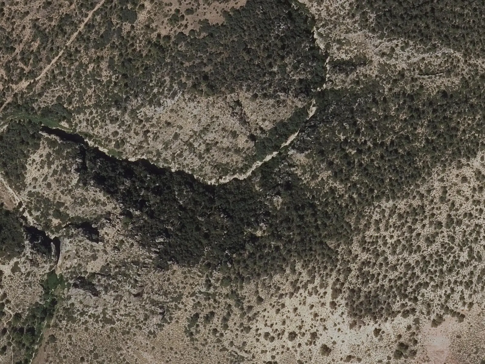
- Hoz del río San Martín, with the Mirador de las Hoces, the knife-edge ridges of the Virgen de Castil de Olivas and the Los Encaños spring.
Routes
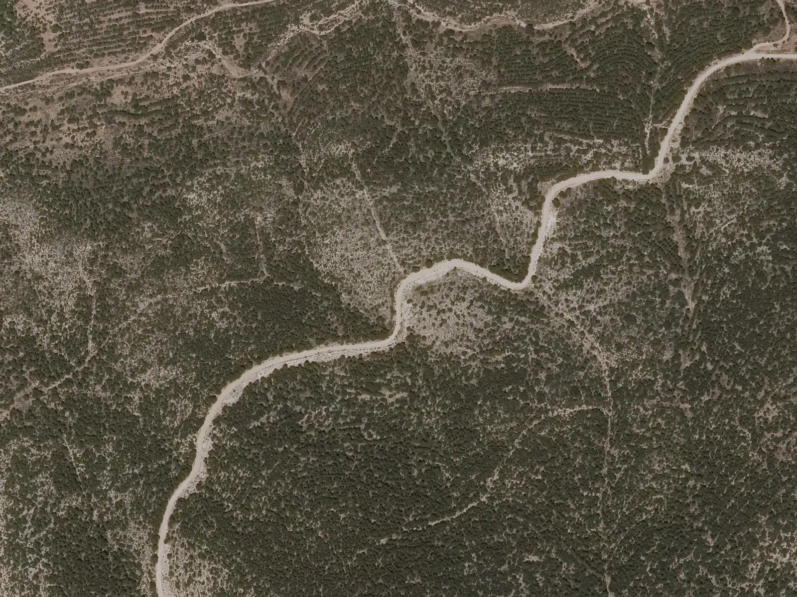
The PR-CU 55, Vuelta a Cabeza de Víllora, circles the hill through pine woods, with a branch to the San Martín gorges viewpoint. Some sources give 12.5 km, others 15.5; confirm before setting out. From the summit, Albarracín, Javalambre and the castles of Cardenete and Enguídanos can be seen. GR-66 (long-distance trail), following the Cabriel valley, also passes through Víllora. In May 2026 PR-CU 120, Víllora-Las Chorreras, a 14 km circuit, was inaugurated.
Plan your visit
The village and viewpoint fill a morning; Las Chorreras another.
Before you travel
Book parking for Las Chorreras and check access conditions on the area’s official website: they may change. Keep to the marked trail.
Combine with
Cardenete is 8.6 km away in a straight line and Enguídanos 9 km.
Frequently asked questions
What are the Chorreras del Cabriel?
A stretch of the Cabriel cut into a large tufa formation, with drops and waterfalls, considered exceptional in the Sistema Ibérico by the town council. It is a Natural Monument. After damage in the October 2024 DANA storm, an IGME study confirmed rockfall risk and the Provincial Sustainable Development Delegation closed access along the western slope and to the pools.
How do you reach Las Chorreras?
Along PR-CU 53 on the river's left bank, from Víllora car park or Enguídanos. Booking a parking space is advisable. PR-CU 120 Víllora-Las Chorreras, a 14 km circuit, was also inaugurated on 14 May 2026.
What is there to see in the village?
The square with an eight-spout fountain and covered washhouse, the San Martín gorges viewpoint and, above the village, Cabeza de Víllora, with views towards the Albarracín and Javalambre ranges.
Carry on from here
The rivers, zones, eras, places and official routes that the atlas links with Víllora.
Rivers and basins
Following the water from Víllora
Follow these watercourses to where they meet, to their villages and to the memories of their basin.
Lands and landscapes
From here, follow the memory of the land
These readings connect Víllora with the stories, the work and the villages around it.
Places in the municipality and around it
Official routes
Near Víllora

Las Hoyas
La Cierva
Fuente del Royo picnic area
Huerta del Marquesado
Prao de San Roque picnic area
Huerta del MarquesadoSee 5 more
Paisaje Ilustrado of Huerta del Marquesado
Huerta del Marquesado
Fuente de la Ardilla picnic area
Valdemeca
Beamud viewpoint
Beamud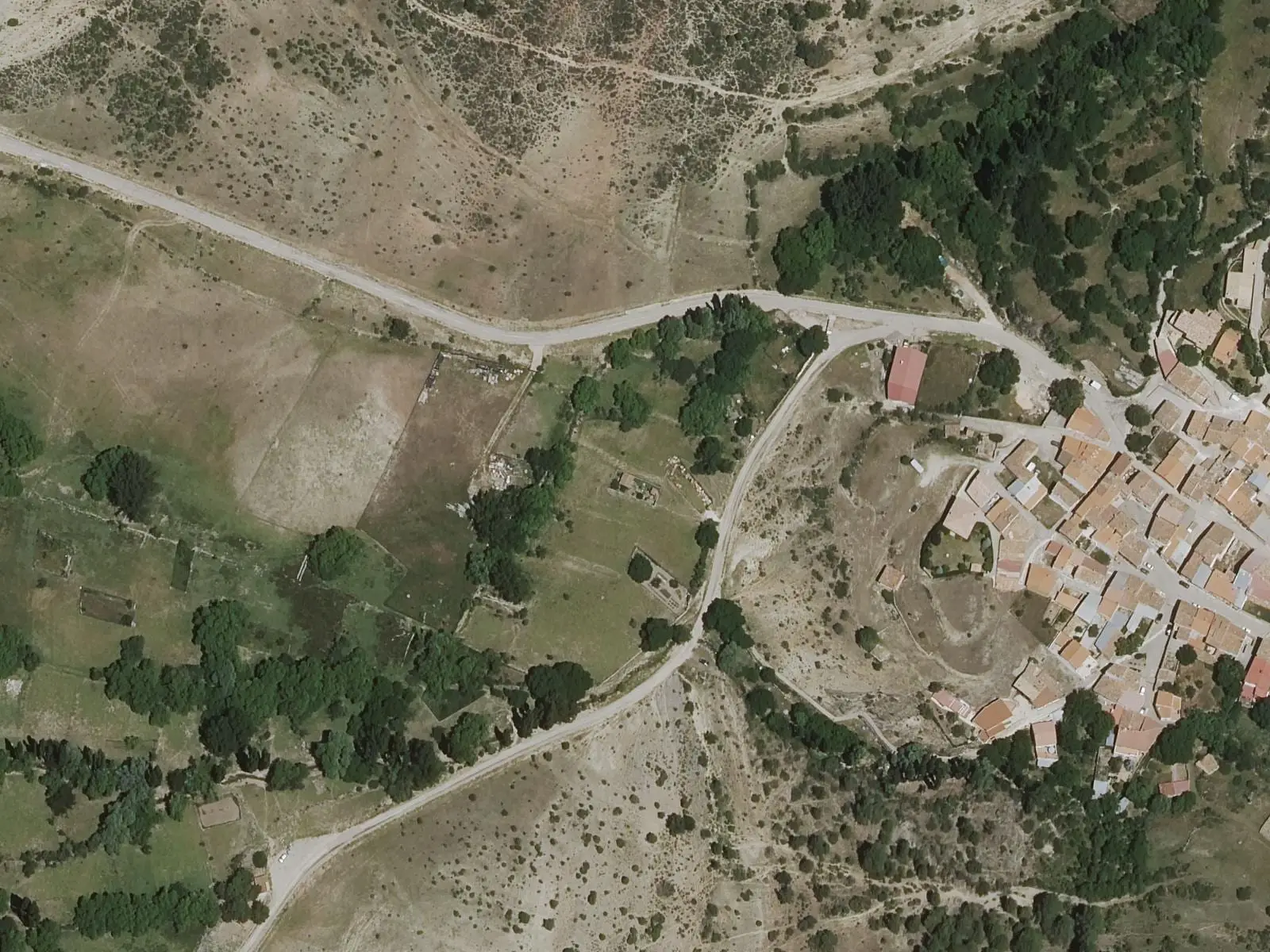
Fuente de los Pastores picnic area
BeamudPaisaje Ilustrado of Valdemeca
ValdemecaPopulation of Víllora, 1842–2021
Víllora reached 1,136 inhabitants in 1920. The 2021 census counted 119, 90 % fewer. It is the story told in the emptying.
Location
● Reference point · ● Villages · ● Places · ━ Routes nearby
Location sketch. The map with paths and names loads as you scroll to it.
Approximate position: village centre.
Reference villages: Cardenete · Enguídanos · Narboneta · Yémeda.
Open the full map and its historical layers →Where the data on this page come from
- Location
- IGN: Nomenclátor Geográfico Básico de España, capital de municipio (CC BY 4.0) source consulted, 9 October 2026
«Source consulted»: the primary source has been read. «Reference located»: the source has been identified but not yet read. «Open question»: the figure needs confirmation.
More about Víllora, told from the village: the Víllora Town Council website.